

Mount Stevens and Teepee Mountain
View Photos
Mount Stevens and Teepee Mountain
Difficulty Rating:
The trek to Mount Stevens and Teepee Mountain is a steep 8.4mi out-and-back hiking route east of Wasa, BC, that will take you through the scenic alpine terrain to traverse these two majestic summits. Make sure to give yourself plenty of time for this hike and bring lots of water, as the steep incline is relentless, offering little in the way of easy terrain to catch your breath. As the road into the trailhead is very rough, only make the journey with a 4x4 high clearance vehicle.
Getting there
To reach the Mount Stevens and Teepee Mountain trailhead from Wasa, drive southeast on Lazy Lake Road for 6.2mi and make a slight right on Lewis Creek Road. After 3.4mi, you will find the trailhead on the left.

About
| When to do | June-September |
| Backcountry Campsites | No |
| Pets allowed | Yes |
| Family friendly | No |
| Route Signage | Average |
| Crowd Levels | Low |
| Route Type | Out and back |
Mount Stevens and Teepee Mountain
Elevation Graph
Weather
Mount Stevens and Teepee Mountain Description
Although challenging and physically demanding, the hike up to Mount Stevens and Teepee Mountain is a rewarding experience that will allow you to witness some pretty amazing alpine views, in addition to giving you the bragging rights of being able to point up to the mountains from the valley floor and telling everyone that you’ve summited these two rugged mountains.
The trail sets out from the side of the road and immediately enters into the dense forest cover to the north. Climbing steeply uphill through the forest, you will eventually make your way to the top of a small ridgeline, where the trail will shift a bit to the northeast on a course for the summit of Mount Stevens. Here, the trail will be more exposed to the sun as you work your way up the rocky terrain to the amazing viewpoint at the summit.
Continue heading north along the rocky spine of the ridge, where you will have the rugged peak of Teepee Mountain straight ahead of you. After a final push to the summit, you can take a bit of a rest from the long gruelling climb uphill and enjoy the spectacular views of the surrounding mountains, such as Mount Stevens directly south, Mount Wirth to the northeast, and Mount Dingley to the southeast. After taking in the views, head back over to Mount Stevens and down the same route to return to the trailhead.
Similar hikes to the Mount Stevens and Teepee Mountain hike

Spirit Trail Loop
The Spirit Trail Loop is a 10.1mi hiking circuit in the East Side Columbia Lake Wildlife Management Area,…

Ram Creek Hot Springs
Hiking to the Ram Creek Hot Springs will take you on an 6.9mi out-and-back trail that runs along…
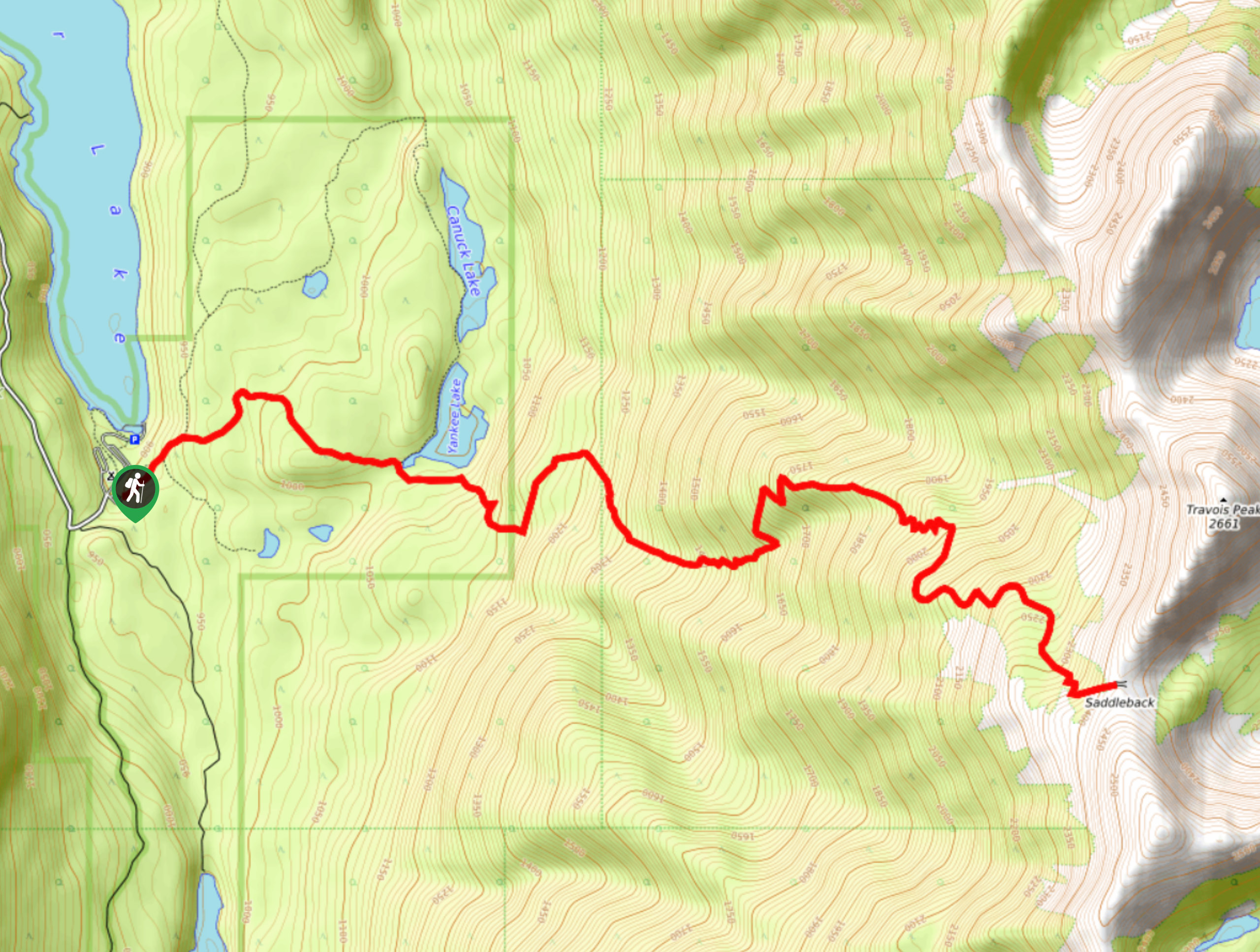
Saddleback Ridge Trail
The Saddleback Ridge Trail is a 9.6mi out-and-back hiking route in Premier Lake Provincial Park that will take…
Comments