

Ram Creek Hot Springs
View Photos
Ram Creek Hot Springs
Difficulty Rating:
Hiking to the Ram Creek Hot Springs will take you on an 6.9mi out-and-back trail that runs along a forest service road to the Ram Creek Ecological Reserve. Here, hikers will find a series of relaxing thermal pools in which they can submerge themselves and take in the beautiful mountain scenery. The road into the trailhead is a bit treacherous but you will forget all about the rough journey and reconnect with the outdoors once you reach the hot springs.
Getting there
To get to the trailhead for the Ram Creek Hot Springs from Canal Flats, drive southeast on BC-93 for 3.0mi and turn left on Whiteswan Lake FSR. After 13.0mi, make a slight right onto Lussier River FSR. Continue on for 5.2mi and turn right to continue along the same road for another 4.5mi. Make a right onto White Ram FSR and you will find the parking area and trailhead in 1148ft.

About
| When to do | June-October |
| Backcountry Campsites | No |
| Pets allowed | Yes |
| Family friendly | Yes |
| Route Signage | Average |
| Crowd Levels | Moderate |
| Route Type | Out and back |
Ram Creek Hot Springs
Elevation Graph
Weather
Ram Creek Hot Springs Description
Anyone looking to make their way to the Ram Creek Hot Springs should take note that the road leading into the area is fairly rough and rugged. Having a 4×4 high clearance vehicle will both speed up the journey and reduce wear and tear on your vehicle from the rugged terrain. Additionally, the area around the hot springs can often become fairly busy, so if you want a bit of seclusion along the route, make sure to arrive early to stake your claim on one of the restorative thermal pools.
While the hot springs can become busy at times, they are much more of a hidden gem than the nearby Lussier Hot Springs, which attract a large number of visitors due to its roadside location. In addition to a reduced number of people, the incredible scenery and mountainous landscape of the Ram Creek Ecological reserve make for the perfect place to soak your bones after the bumpy drive and hike into the area. While submerged in the comforting warm water of the pools, you will have an amazing view of McLean Peak to the east, as well as the surrounding woodland landscape. It may be tough to get to, but the end result of this journey is definitely worth the effort.
Setting out from the parking area, head west along the forest service road as it gently climbs uphill through the forest. Due to the rugged nature of the road, you won’t have to worry too much about passing vehicles, although the odd 4×4 will probably attempt to make it the entire way up to the hot springs.
The road will continue on like this for the entire 3.4mi to the hot springs, turning a bit more to the northwest as it is surrounded by heavily wooded slopes on either side. Eventually, you will exit the tree cover on the final approach to the springs and have some nice views of the surrounding mountain landscape.
If you are lucky enough to arrive at the hot springs before anyone else, then you will be able to test the waters and figure out which temperature is best before settling in for a long soak in this serene setting. With views of McLean Peak and the surrounding forests, it’s easy to get lost in your thoughts and have time pass you by.
After you have experienced the restorative nature of the hot springs and explored the beautiful terrain within the ecological reserve, head back down the forest service road to return to your vehicle and make the long bumpy drive home.
Insider Hints
Cell service in this area is spotty, so have any routes pre-downloaded if you need them for navigation.
A 4x4 high-clearance vehicle will be needed to reach the trailhead as the road is fairly rugged.
Bring your swimwear for a soak in the thermal pools.
Bring water shoes to avoid slipping on wet rocks.
Similar hikes to the Ram Creek Hot Springs hike

Spirit Trail Loop
The Spirit Trail Loop is a 10.1mi hiking circuit in the East Side Columbia Lake Wildlife Management Area,…

Mount Stevens and Teepee Mountain
The trek to Mount Stevens and Teepee Mountain is a steep 8.4mi out-and-back hiking route east of Wasa,…
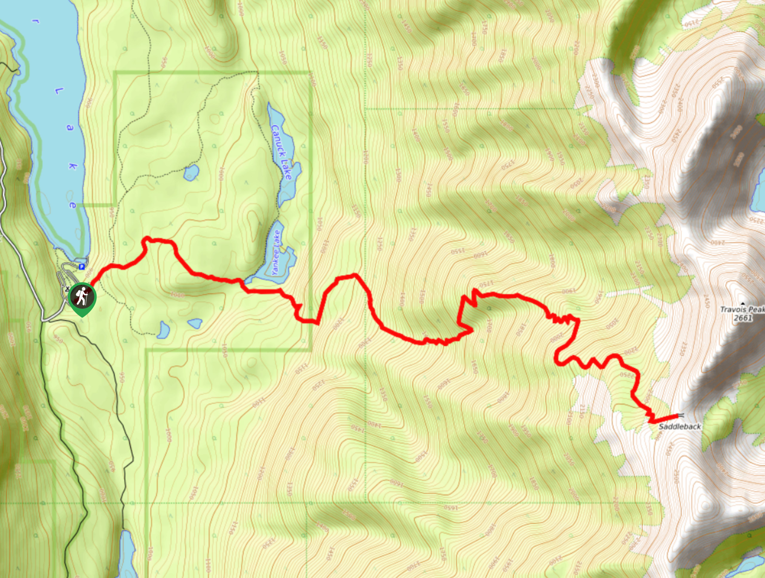
Saddleback Ridge Trail
The Saddleback Ridge Trail is a 9.6mi out-and-back hiking route in Premier Lake Provincial Park that will take…
Comments