Marysville Falls
View Photos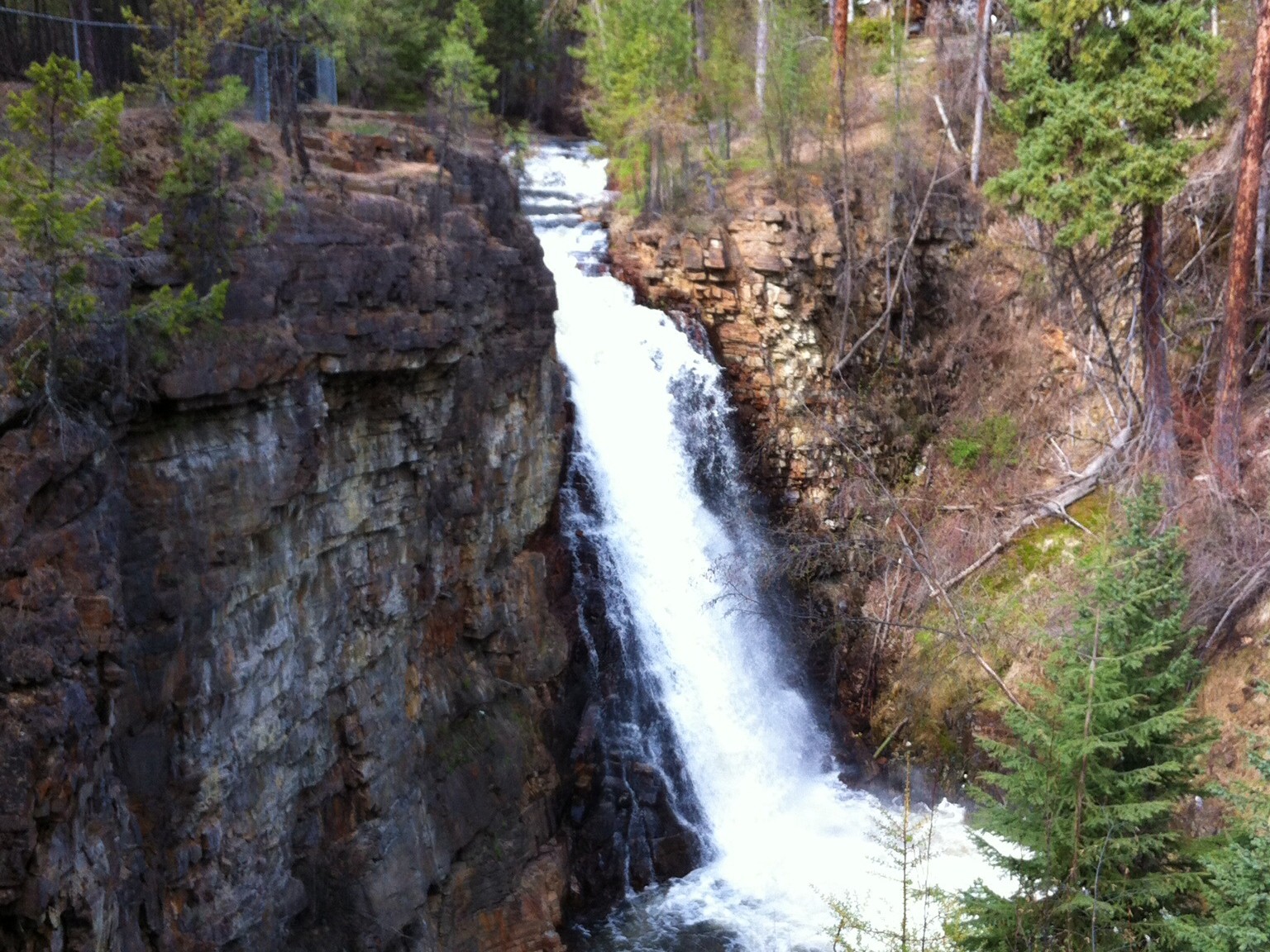
Marysville Falls
Difficulty Rating:
Marysville Falls is a short 0.3mi out-and-back hiking route in Marysville, BC that offers a pleasant stroll along a forested creek that eventually brings you to the picturesque sight of a cascading waterfall. With a short overall distance and flat terrain, this trail is suitable for hikers of all skill levels. Make sure to bring microspikes and/or hiking poles in the shoulder seasons as the trail can become very icy.
Getting there
To reach the Marysville Falls trailhead from Kimberley, drive south on BC-95A for 3.0mi and you will find the trailhead on the right.

About
| When to do | April-September |
| Backcountry Campsites | No |
| Pets allowed | Yes - On Leash |
| Family friendly | Yes |
| Route Signage | Average |
| Crowd Levels | Moderate |
| Route Type | Out and back |
Marysville Falls
Elevation Graph
Weather
Marysville Falls Description
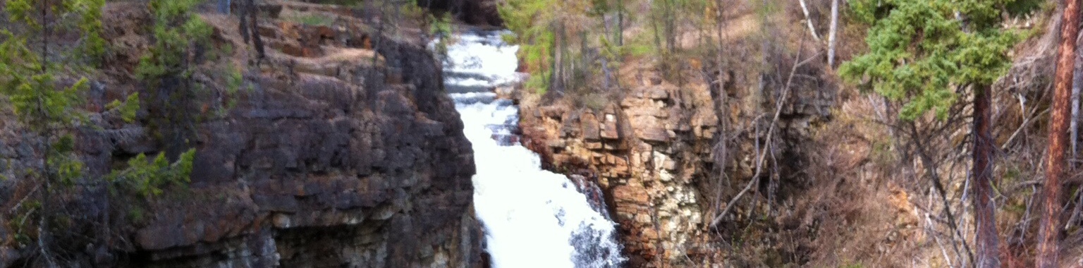
Although it may be more of a walk than a true hike, Marysville Falls is a great stroll through some beautifully forested terrain that will really wow you when you catch your first sight of the breathtaking waterfall. The trail sets out from the heart of town and quickly crosses a bridge over Mark Creek. From here, hikers will make their way through the forest to the south alongside the rushing water of the creek. After a few minutes, you will arrive at the viewpoint overlooking the walls, where you will be able to gaze out at the waters as it flows relentlessly over the edge of the sheer rock wall. After taking in the sights, head back along the same route to return to the trailhead.
Similar hikes to the Marysville Falls hike
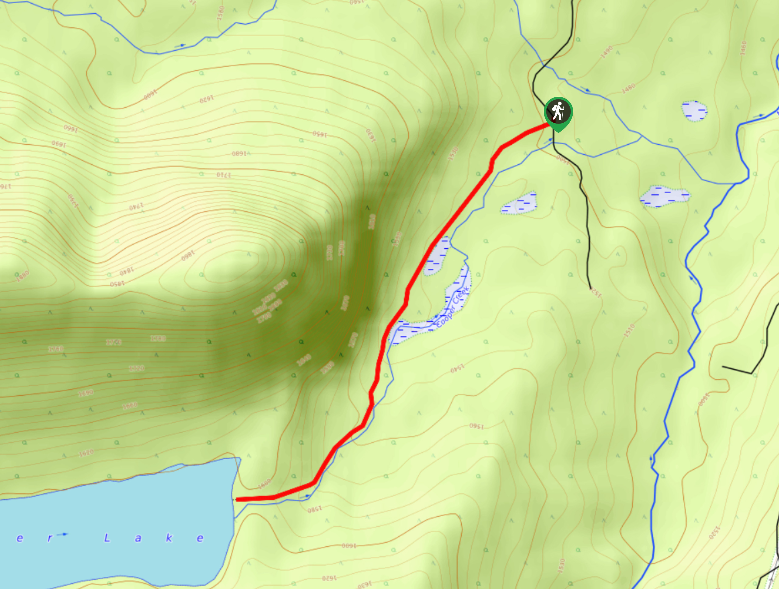
Cooper Lake Trail
The Cooper Lake Trail is a 2.5mi out-and-back hiking route near Cranbrook, BC, that follows closely along an…
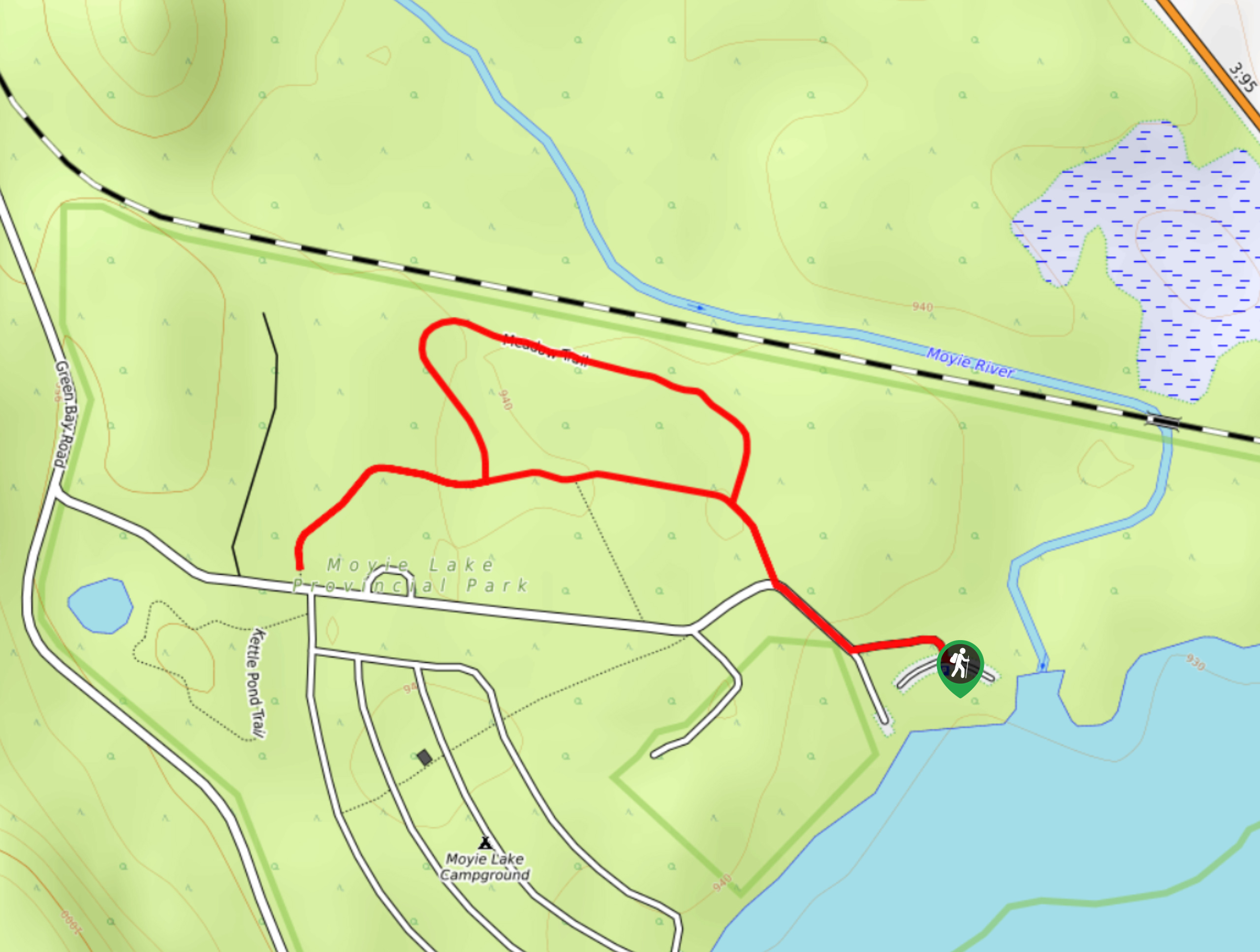
Moyie Lake Area Trail
The Moyie Lake Area trail is a 1.4mi lollipop hiking route south of Cranbrook that takes you on…
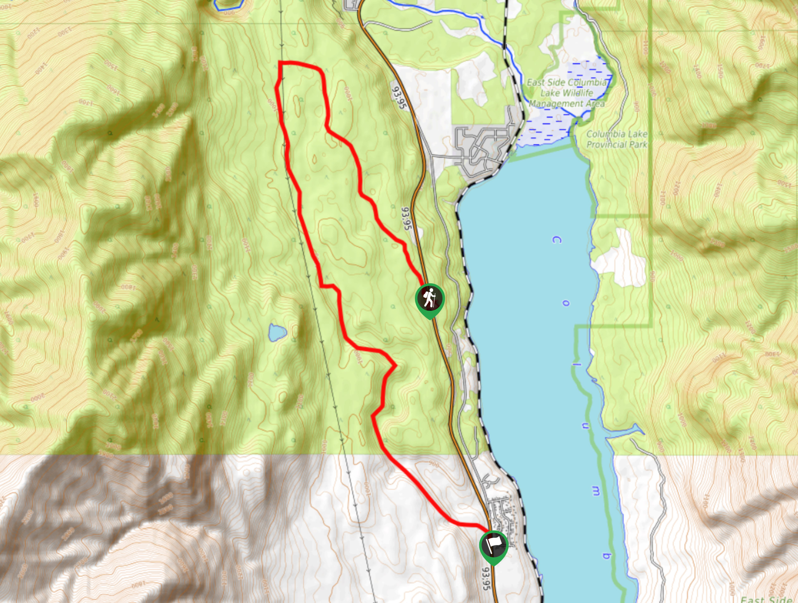
Columbia Lake Lookout
The Columbia Lake Lookout is a 8.5mi point-to-point hiking route northwest of Canal Flats, BC, that will lead…
Comments