
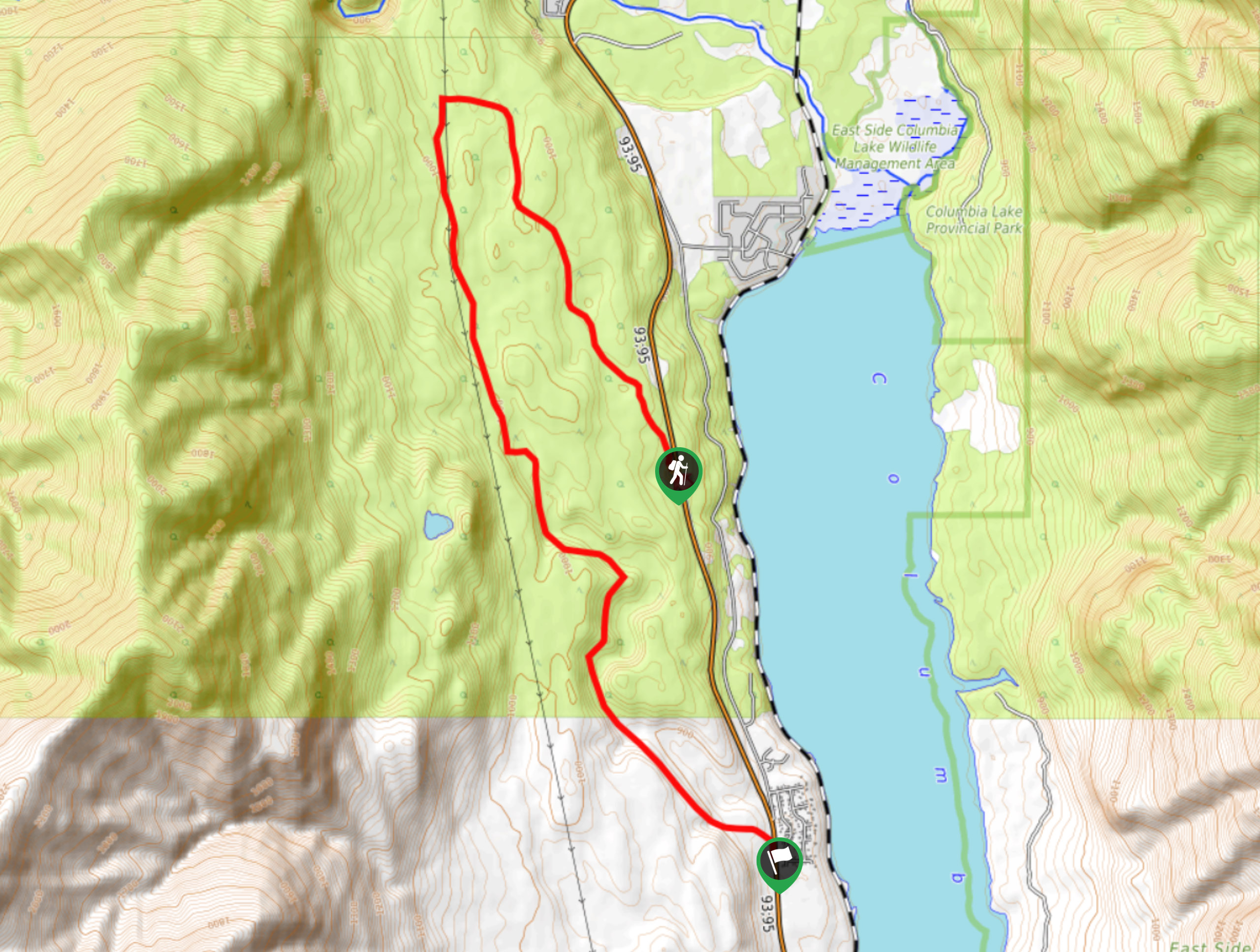
Columbia Lake Lookout
View Photos
Columbia Lake Lookout
Difficulty Rating:
The Columbia Lake Lookout is a 8.5mi point-to-point hiking route northwest of Canal Flats, BC, that will lead you through a variety of terrain with nice views overlooking Columbia Lake and the Kootenay River Valley. This intermediate-length trail features easy-to-navigate terrain through forested and cleared areas with only small changes in elevation, making this route suitable for hikers of all skill levels. As this is a point-to-point trail, you will need to either arrange a pick up at the end of your journey or hike along the road for about 1.9mi to reach the trailhead.
Getting there
To reach the trailhead for the Columbia Lake Lookout from Canal Flats, drive northwest on BC-95 for 8.8mi, and you will find the trailhead on the left side of the highway.

About
| When to do | April-November |
| Backcountry Campsites | No |
| Pets allowed | Yes |
| Family friendly | Yes |
| Route Signage | Average |
| Crowd Levels | Low |
| Route Type | One Way |
Columbia Lake Lookout
Elevation Graph
Weather
Columbia Lake Lookout Trail Description
Hiking along the Columbia Lake Lookout trail is a pleasant experience due to the scenic views and easy terrain. The route largely follows ATV trails through the forest and along a powerline clearing, meaning that navigation will never be an issue on the wide pathways. The trail sets out from the side of the highway and begins to head to the northwest through the forest. Once you have reached the northernmost point of the hike, the trail will turn south and follow along the powerlines for several kilometres. Eventually, you will break off from the powerline clearing through a meadow with some nice views over the valley and surrounding mountains before wrapping up the last leg of the hike through the forest. This is a great route for meandering through the forest and enjoying scenic views without much difficulty.
Similar hikes to the Columbia Lake Lookout hike

Spirit Trail Loop
The Spirit Trail Loop is a 10.1mi hiking circuit in the East Side Columbia Lake Wildlife Management Area,…

Ram Creek Hot Springs
Hiking to the Ram Creek Hot Springs will take you on an 6.9mi out-and-back trail that runs along…
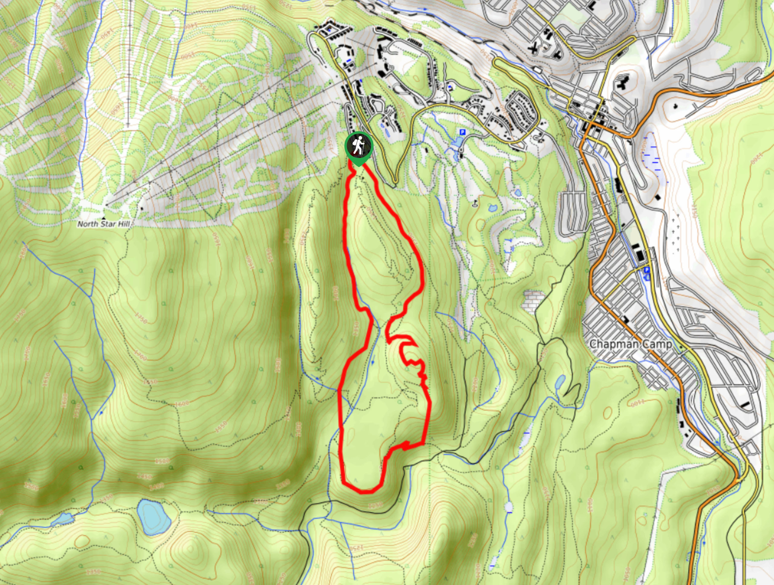
Kimberley Nordic Centre Trail
The Kimberley Nordic Centre Trail is an 5.2mi hiking circuit in Kimberley, BC, that will take you through…
Comments