
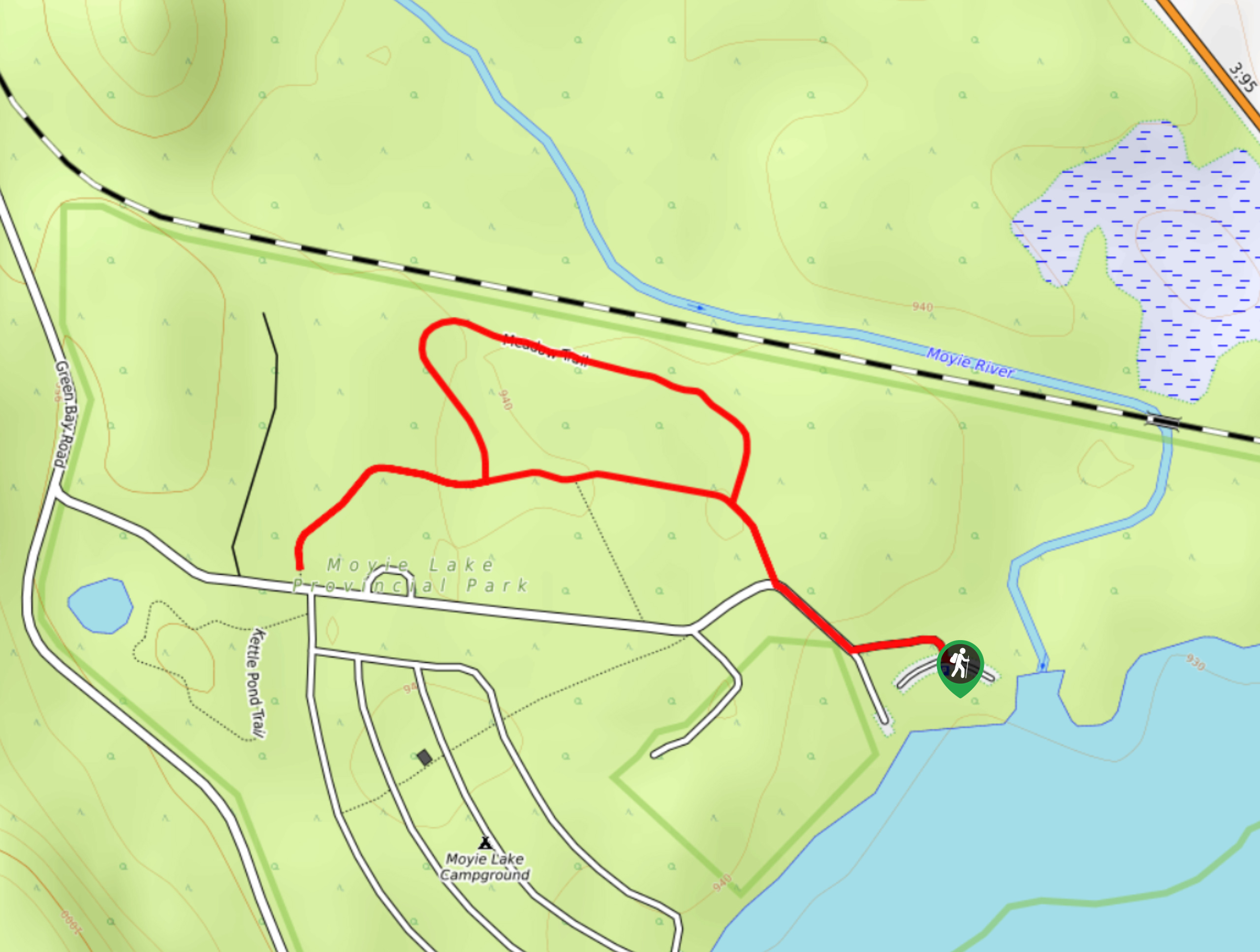
Moyie Lake Area Trail
View Photos
Moyie Lake Area Trail
Difficulty Rating:
The Moyie Lake Area trail is a 1.4mi lollipop hiking route south of Cranbrook that takes you on a winding path through the forest with some nice views overlooking Moyie Lake from the trailhead. Featuring easy-to-navigate trails and fairly flat terrain, this route is perfectly suited for hikers of all skill levels. Combine this hike with an overnight stay in the Moyie Lake Campground and you have a recipe for a great weekend of adventuring in the outdoors.
Getting there
To reach the trailhead for the Moyie Lake Area Trail from Cranbrook, head southwest on BC-3 for 10.6mi and turn right onto Monroe Lake Road. After 0.9mi, turn left onto Beach Road. Continue on for 0.6mi and turn left again to enter the parking area.

About
| When to do | April-October |
| Backcountry Campsites | Moyie Lake Campground |
| Pets allowed | Yes - On Leash |
| Family friendly | Yes |
| Route Signage | Average |
| Crowd Levels | Moderate |
| Route Type | Lollipop |
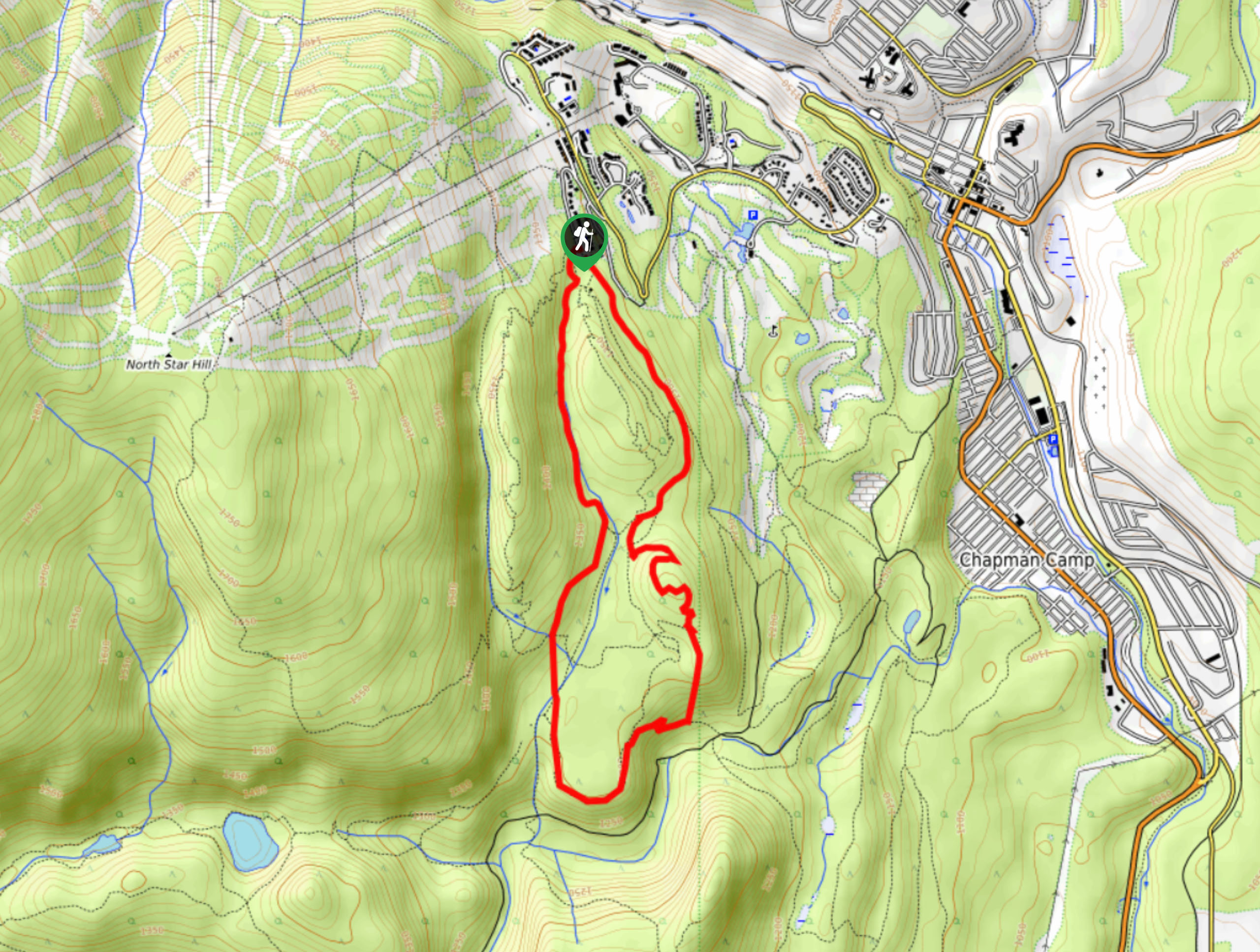
Moyie Lake Area Trail
Elevation Graph
Weather
Moyie Lake Area Trail Description
The Moyie Lake Area Trail is a great family-friendly hike that will get you out exploring the wilderness along a well-maintained and easy-to-follow route. Right from the trailhead, you will have some amazing views as the parking area is located next to the pristine waters of Moyie Lake. From here, follow the trail to the northwest as it loops through the forest and provides some partial views of the surrounding mountains. You might encounter some local wildlife, such as various species of birds and larger animals like deer or black bears along the route. After you’ve meandered through the woods, the trail will lead you back towards the edge of the lake, where you can hop in for a refreshing swim or just relax on the beach.
Similar hikes to the Moyie Lake Area Trail hike

Spirit Trail Loop
The Spirit Trail Loop is a 10.1mi hiking circuit in the East Side Columbia Lake Wildlife Management Area,…

Ram Creek Hot Springs
Hiking to the Ram Creek Hot Springs will take you on an 6.9mi out-and-back trail that runs along…
Kimberley Nordic Centre Trail
The Kimberley Nordic Centre Trail is an 5.2mi hiking circuit in Kimberley, BC, that will take you through…
Comments