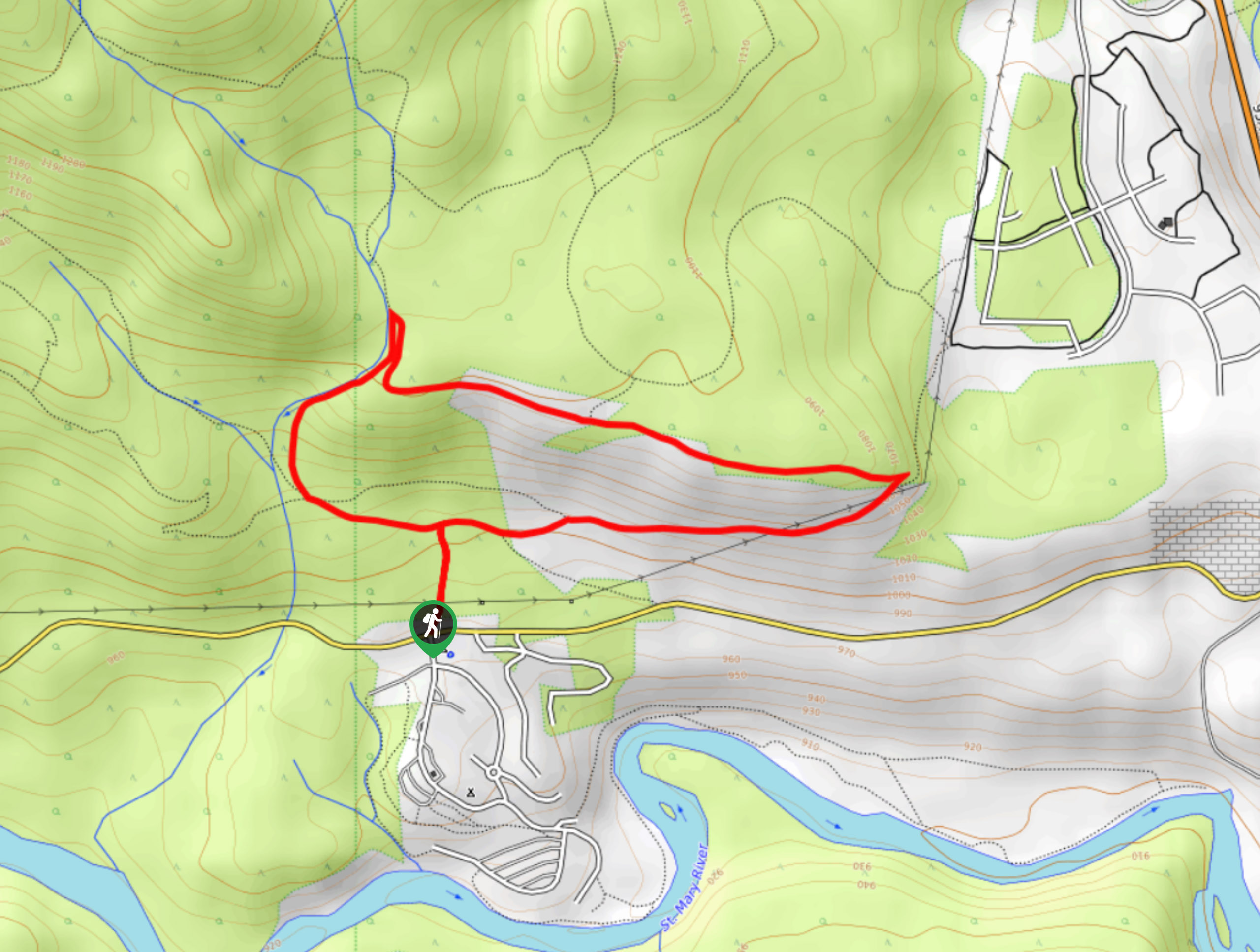
Jimmy Russel to Sunflower Hill Loop
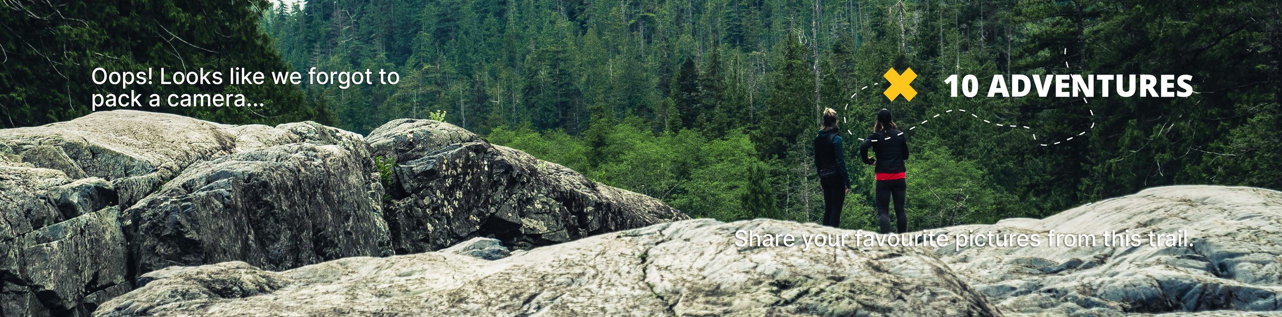
View Photos
Jimmy Russel to Sunflower Hill Loop
Difficulty Rating:
The Jimmy Russel to Sunflower Hill Loop is a 2.4mi lollipop hiking route near Kimberley, BC, that will take you up a gentle slope through some light forest cover for scenic views of the surrounding area. The trail is made up of easily traversable terrain, making it accessible for hikers of almost any skill level. Keep an eye out for black bears, and remember to bring bear spray along for this hike, as they are frequently spotted along the trail.
Getting there
To reach the parking area for the Jimmy Russel to Sunflower Hill Loop from Kimberley, drive southeast on BC-95A for 2.5mi and turn right onto St Marys Lake Road. After 1.7mi, turn left to enter the parking lot at the campground, where you will find the trailhead across the road to the north.

About
| When to do | March-October |
| Backcountry Campsites | Kimberley Riverside Campground |
| Pets allowed | Yes |
| Family friendly | Yes |
| Route Signage | Average |
| Crowd Levels | Low |
| Route Type | Lollipop |
Jimmy Russel to Sunflower Hill Loop
Elevation Graph
Weather
Jimmy Russel to Sunflower Hill Loop Description
Hiking the Jimmy Russel to Sunflower Hill Loop is a quick and easy trek that will provide some sweeping views across the valley with some rugged mountains framing the backdrop. The well-maintained trail sets out from the Kimberley Riverside Campground and heads north on a route through some light tree cover. Reaching a junction in the trail, head left to begin the loop portion of the hike in a clockwise direction. As you hike along the trail, you will have some amazing views of the nearby Purcell Mountains to the northwest, as well as the Rockies to the east. After working your way around the loop, turn left at the junction to head back to the campground.
Similar hikes to the Jimmy Russel to Sunflower Hill Loop hike

Spirit Trail Loop
The Spirit Trail Loop is a 10.1mi hiking circuit in the East Side Columbia Lake Wildlife Management Area,…

Ram Creek Hot Springs
Hiking to the Ram Creek Hot Springs will take you on an 6.9mi out-and-back trail that runs along…
Kimberley Nordic Centre Trail
The Kimberley Nordic Centre Trail is an 5.2mi hiking circuit in Kimberley, BC, that will take you through…
Comments