
Magic Line Trail
View Photos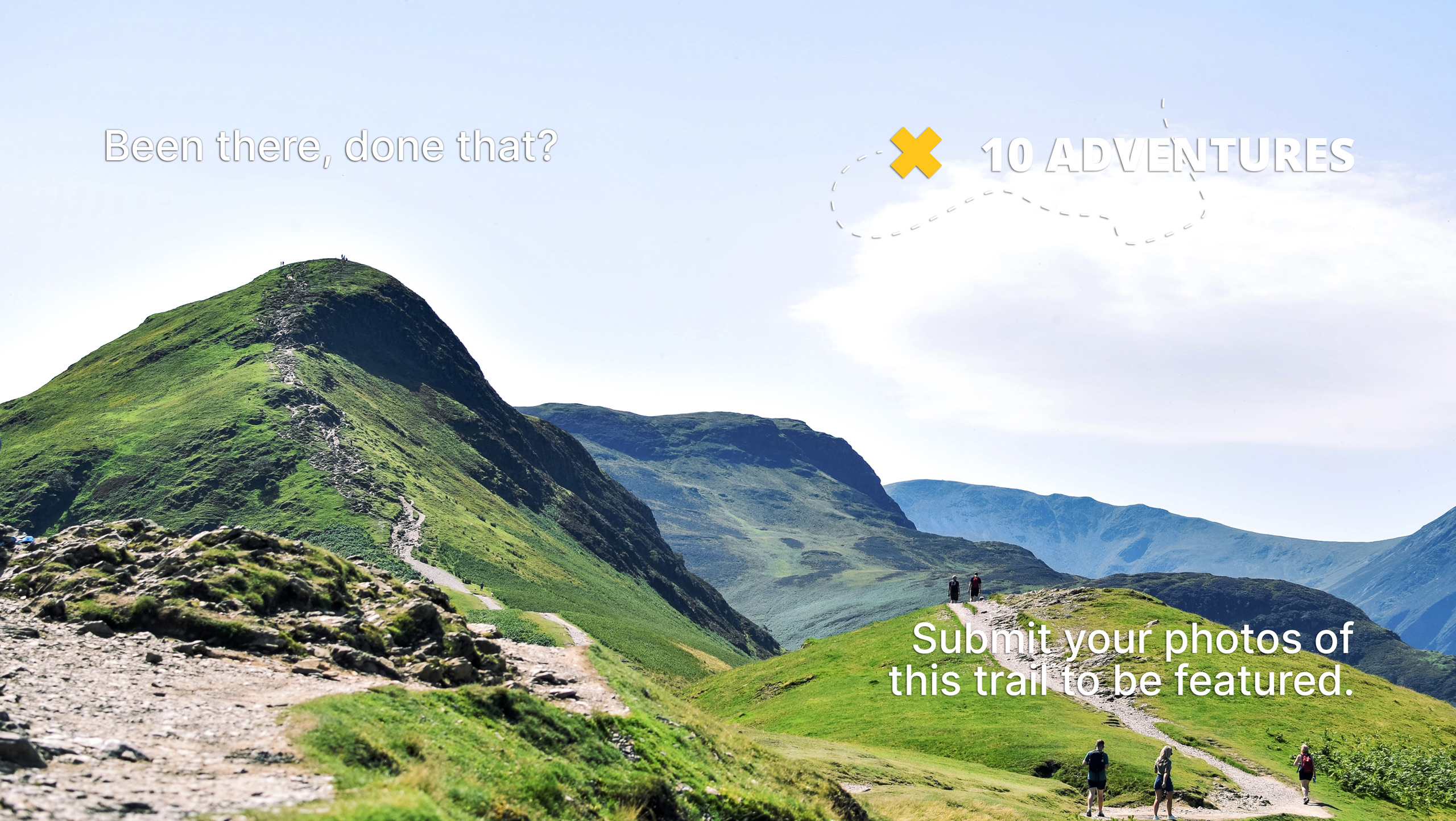
Magic Line Trail
Difficulty Rating:
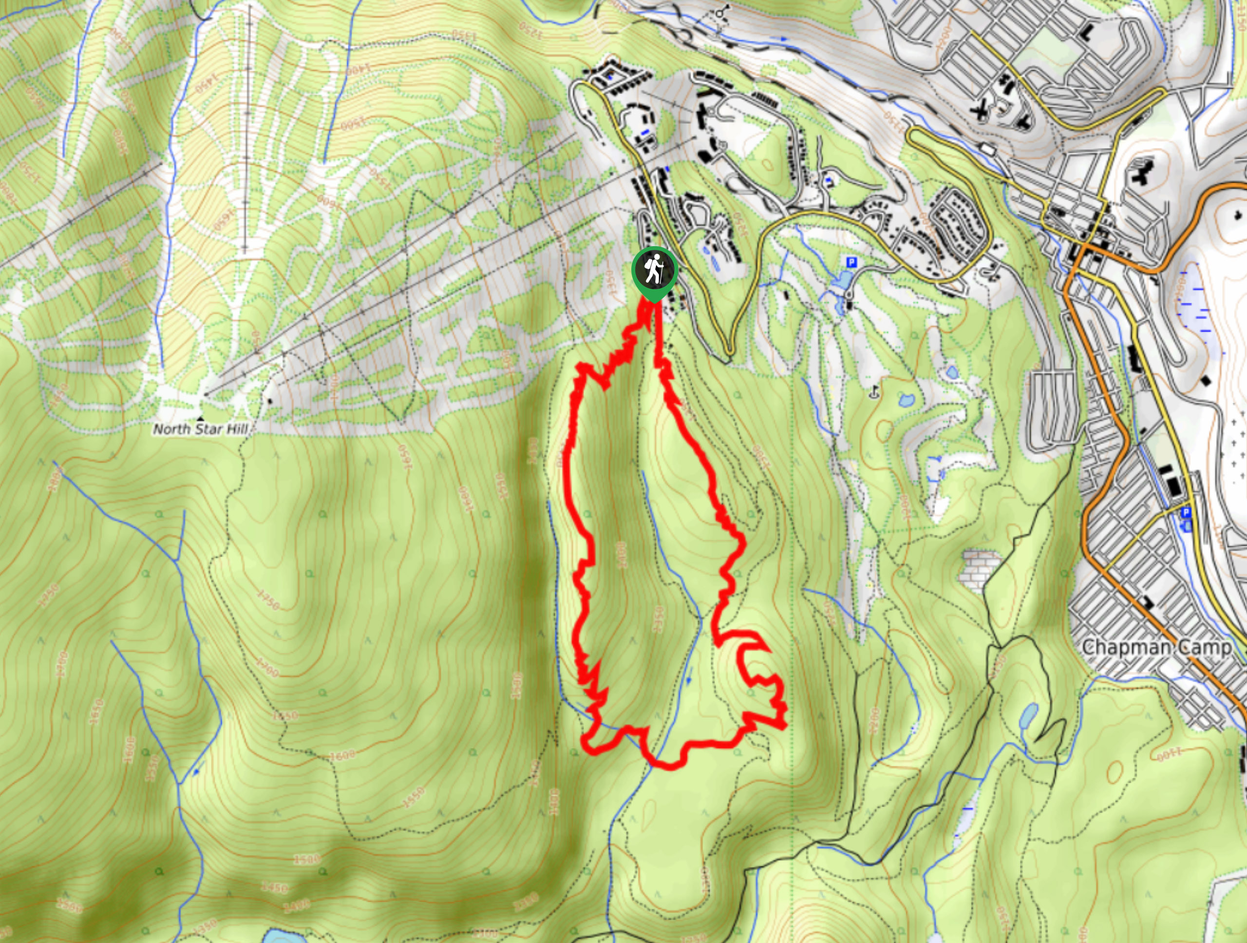
The Magic Line Trail is a 4.5mi lollipop hiking route in Kimberley, BC, that will take you along some undulating terrain with spectacular views overlooking the valley and the Rocky Mountains off in the distance. This trail is well-work, making it easy to traverse and navigate; however, a strong network of intersecting trails means that you should bring a GPS to stay on the correct path. This hike is a great way to experience the natural beauty and picturesque scenery of Kimberley.
Getting there
To get to the Magic Line Trail from Kimberley, make your way northeast on highway BC-95A and turn left on Burdett St. Take a right turn on Norton Ave after 951ft and follow it for another 2953ft. Here, you will turn left onto Gerry Sorensen Way, continuing on for 1.2mi and making a left onto North Star Dr. The trailhead will be straight ahead in 1969ft.

About
| When to do | April-October |
| Backcountry Campsites | No |
| Pets allowed | Yes |
| Family friendly | Older Children only |
| Route Signage | Average |
| Crowd Levels | Low |
| Route Type | Lollipop |
Magic Line Trail
Elevation Graph
Weather
Magic Line Trail Description
Hiking the Magic Line Trail is a fun way to both get out for a bit of exercise as well as enjoy the beautiful views of the landscape surrounding Kimberley. With scenic views overlooking the valley, and the rugged wall made up by the Rocky Mountains just beyond it, this hike offers some truly breathtaking views for the effort required to complete it. Setting out from the Kimberley Nordic Club, follow the trail through the trees to the southeast to begin the hiking loop. Along the trail, there will be a series of three ascents and descents that provide incredible views for the day, with the rest of the route being shrouded by light forest cover. As you make your way along the undulating terrain, you will cross over two creeks before the trail turns north on the return journey to the trailhead and your parked vehicle.
Similar hikes to the Magic Line Trail hike

Spirit Trail Loop
The Spirit Trail Loop is a 10.1mi hiking circuit in the East Side Columbia Lake Wildlife Management Area,…

Mount Stevens and Teepee Mountain
The trek to Mount Stevens and Teepee Mountain is a steep 8.4mi out-and-back hiking route east of Wasa,…

Ram Creek Hot Springs
Hiking to the Ram Creek Hot Springs will take you on an 6.9mi out-and-back trail that runs along…
Comments