Dewar Creek Hot Springs
View Photos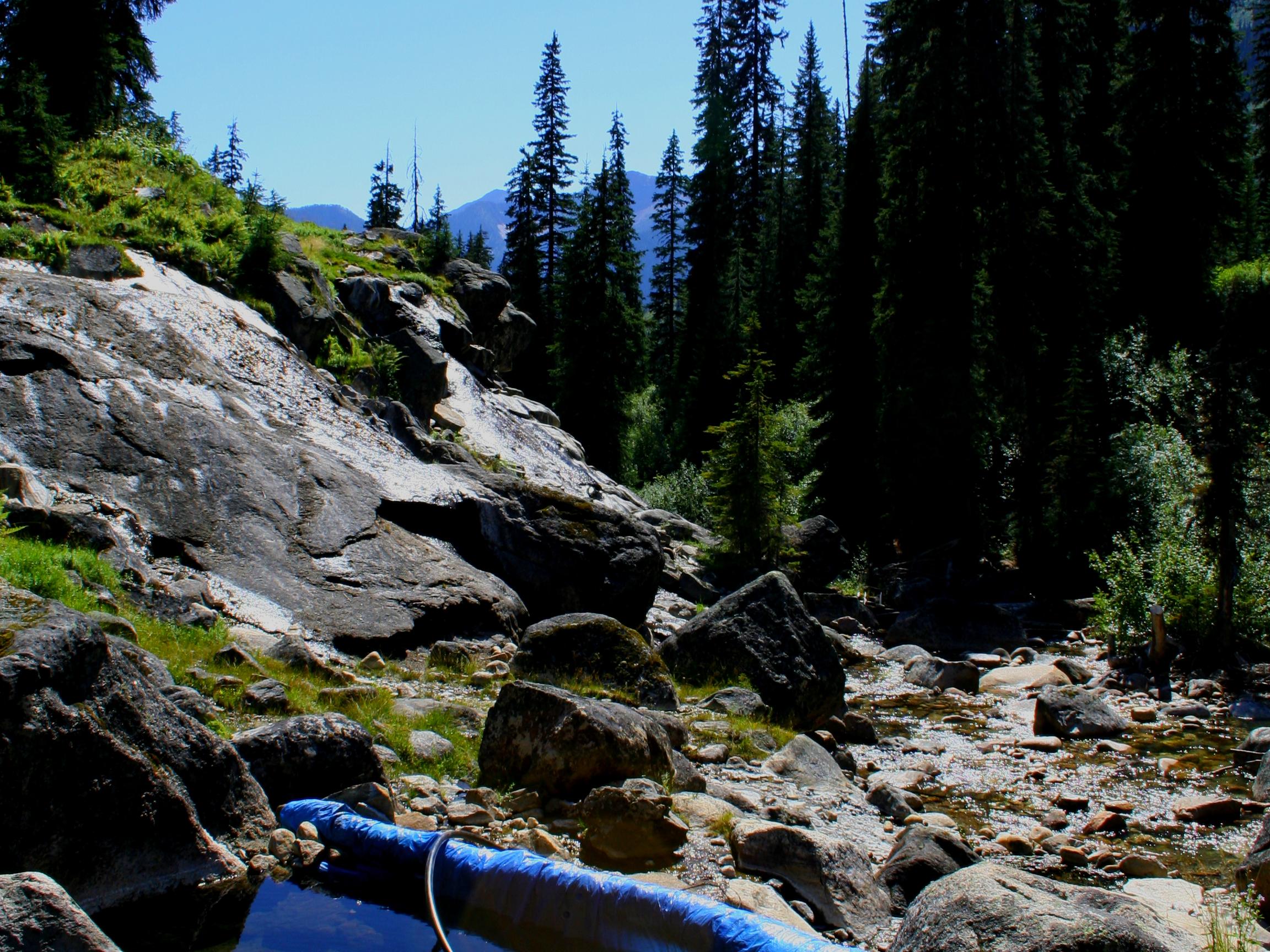
Dewar Creek Hot Springs
Difficulty Rating:
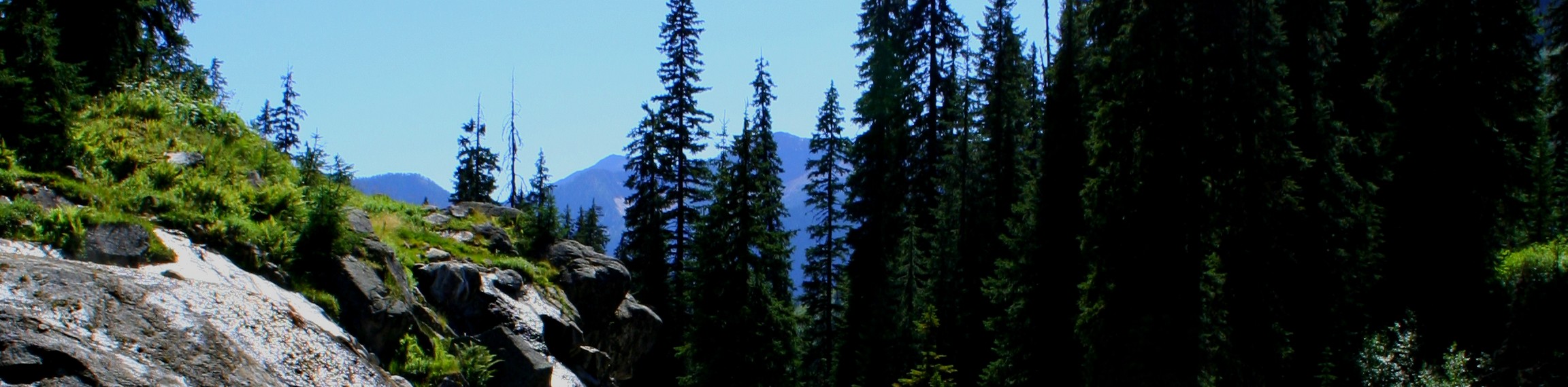
The trek to the Dewar Creek Hot Springs follows a 11.9mi out-and-back hiking route that heads into the backcountry alongside Dewar Creek to eventually arrive at a series of relaxing thermal pools. The trail largely passes through sections of heavy forest and subalpine meadow with some scenic views of the surrounding Purcell Mountains. The route traverses some undulating terrain that is a bit overgrown but fairly easy to navigate, making this a great option for casual and experienced hikers that are looking for a longer hike with a nice reward at the end.
Getting there
To get to the trailhead for the Dewar Creek Hot Springs from Kimberley, make your way southeast along BC-95A for 2.2mi and turn right on St Mary's Lake Road. Follow this for 38.0mi and make a slight right to stay on the road. After 0.7mi, you will arrive at the trailhead.

About
| When to do | May-October |
| Backcountry Campsites | Tent pads near the hot springs |
| Pets allowed | Yes |
| Family friendly | Older Children only |
| Route Signage | Average |
| Crowd Levels | Low |
| Route Type | Out and back |
Dewar Creek Hot Springs
Elevation Graph
Weather
Dewar Creek Hot Springs Description
Although it is a lengthy hike, the Dewar Hot Springs Trail follows along some fairly easy terrain that will allow you to get to the relaxing waters of the thermal pools in no time. Additionally, there are a few tent pads in the area around the hot springs that will allow you to camp overnight and turn this great outdoor adventure into a multi-day journey.
The trail sets out from the parking area and enters into some very thick forest cover to the west, charting a course towards the hot springs that runs alongside the northern bank of Dewar Creek. Follow along with the flowing water as you make your way in and out of the intermittent tree cover that is interrupted by several scenic subalpine meadows that provide some amazing views of the surrounding Purcell Mountains.
Eventually, the route will turn more directly to the north, and you will be surrounded by dramatic mountain ridges on all sides. Continue hiking through more of the same subalpine terrain until you reach the hot springs. Once there, you can hop into the relaxing waters of a pool of your choosing to soak your aching bones before either setting up camp for the night or making the return trek back out to the trailhead.
Similar hikes to the Dewar Creek Hot Springs hike

Spirit Trail Loop
The Spirit Trail Loop is a 10.1mi hiking circuit in the East Side Columbia Lake Wildlife Management Area,…

Mount Stevens and Teepee Mountain
The trek to Mount Stevens and Teepee Mountain is a steep 8.4mi out-and-back hiking route east of Wasa,…

Ram Creek Hot Springs
Hiking to the Ram Creek Hot Springs will take you on an 6.9mi out-and-back trail that runs along…
Comments