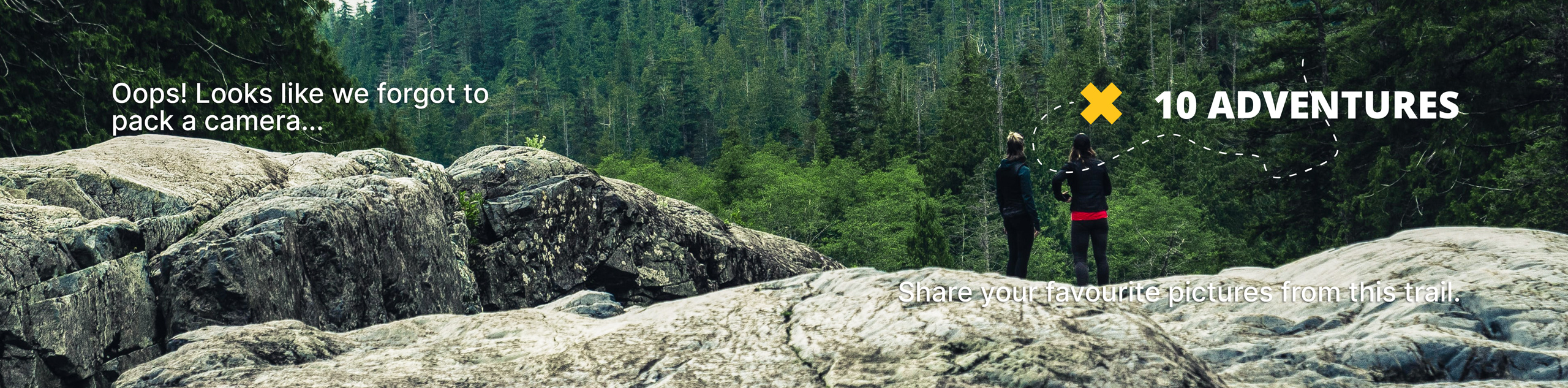
Chisel Peak
View Photos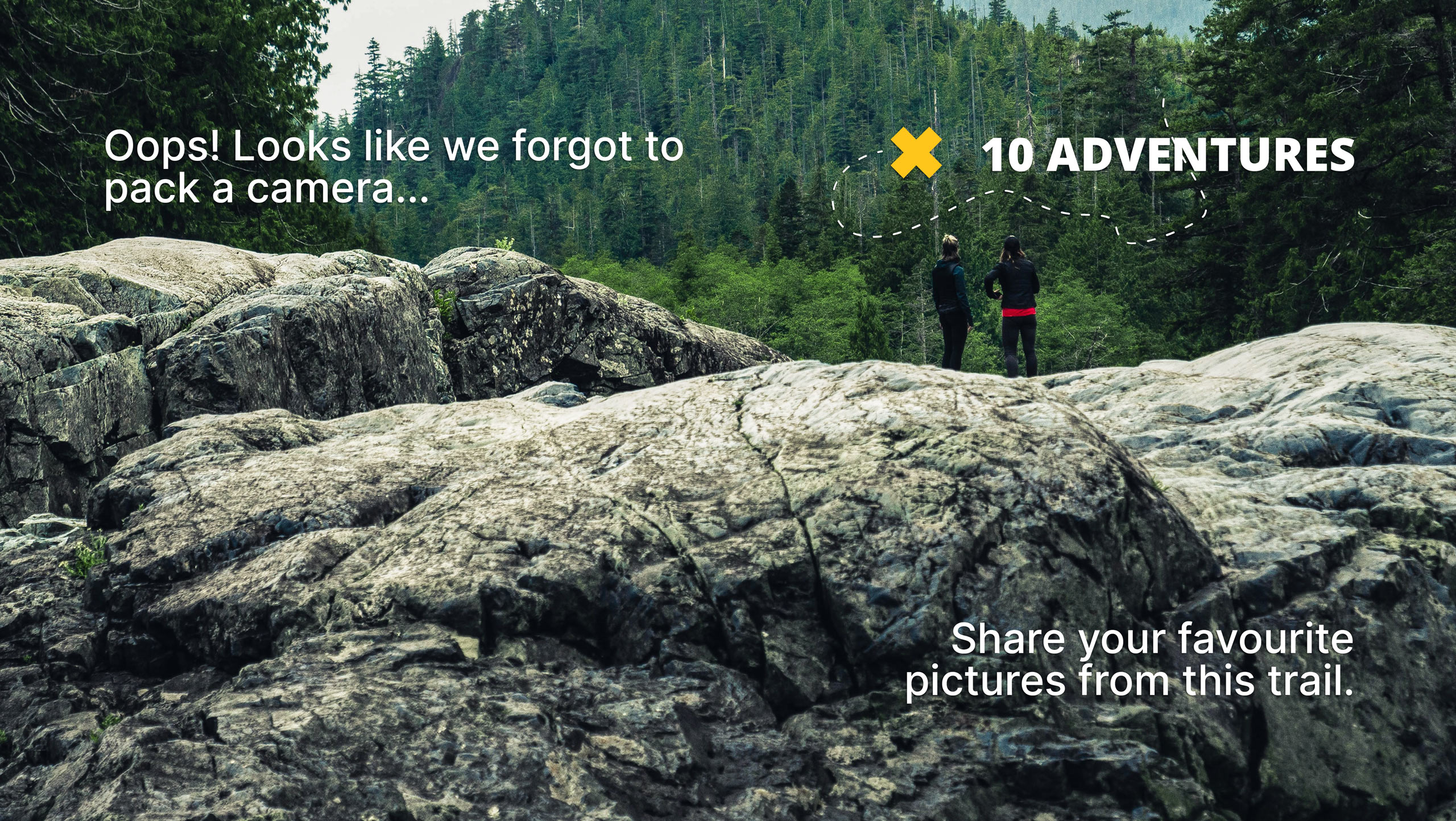
Chisel Peak
Difficulty Rating:
Chisel Peak is a 8.6mi out-and-back hiking route near Invermere, BC, that will take you up to the rocky summit of this prominent mountain. Along the route, you will experience a variety of terrain including service roads, beautiful forests, and exposed rock before arriving at the breathtaking viewpoint at the summit. Once there, you will have spectacular views that stretch across the Columbia Valley and the surrounding mountain ranges.
Getting there
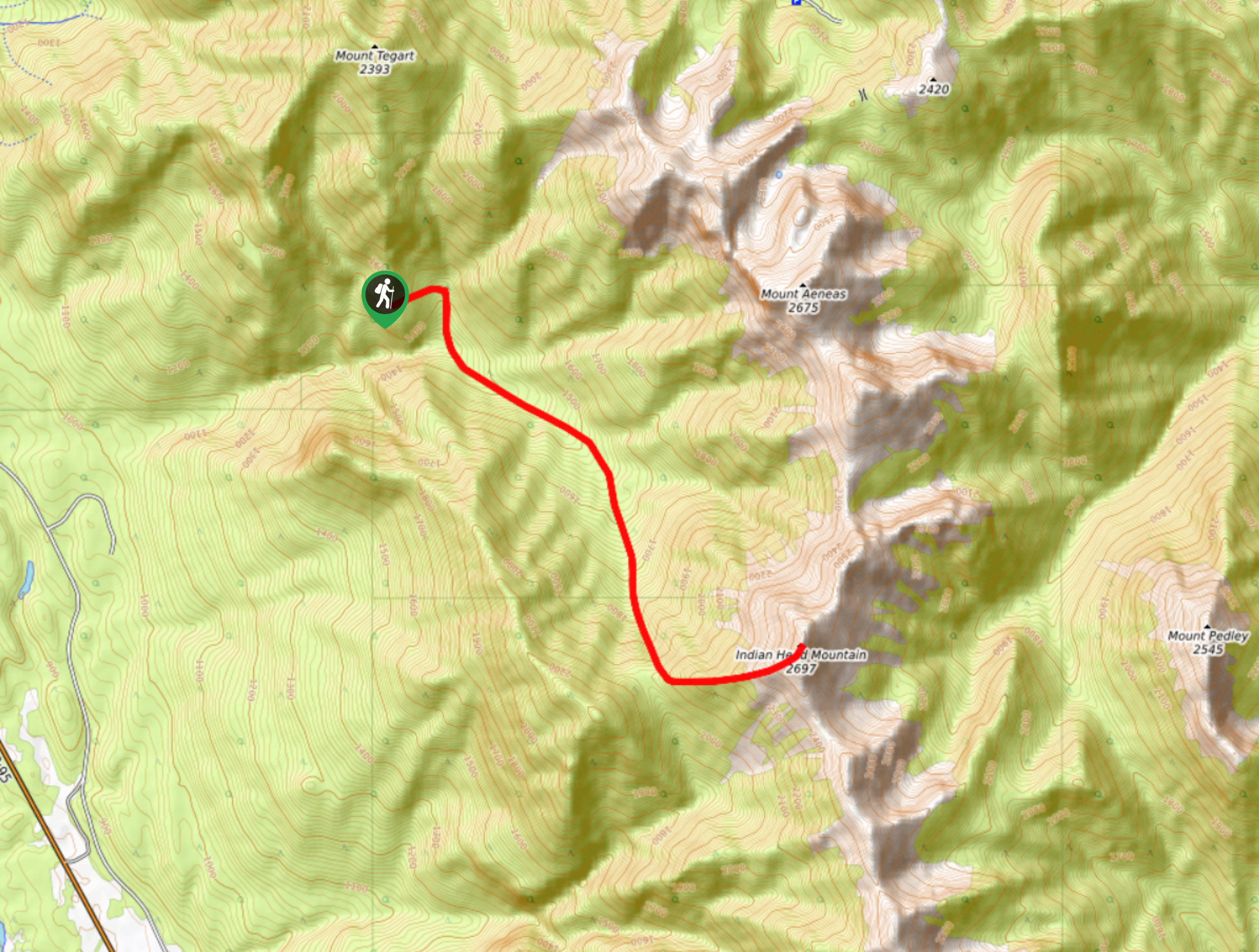
To reach the Chisel Peak trailhead from Invermere, head south along BC-93/95 for 7.5mi and turn left onto Kootenay Road#3. Take the first right to continue on the same road for another 1.2mi. Turn left onto Madias Creek FSR and follow it for 0.6mi to reach a fork. Go right and continue for 0.6mi to another fork, where you will keep left. After 1.2mi, you will reach a washout over the road where you should park and continue on foot to the trailhead.

About
| When to do | June-October |
| Backcountry Campsites | No |
| Pets allowed | No |
| Family friendly | No |
| Route Signage | Average |
| Crowd Levels | Low |
| Route Type | Out and back |
Chisel Peak
Elevation Graph
Weather
Chisel Peak Trail Description
Hiking up to the summit of Chisel Peak is a challenging adventure that will allow you to experience a full range of terrain types and breathtaking views overlooking the surrounding area. The route sets out from a trailhead surrounded by mountains with Mount Tegart to the north, Mount Aeneas to the east, and Chisel Peak to the southeast. Make your way in a southeastern direction through the dense forest on a route heading toward the mountain. After working through the valley, you will begin your climb up the rocky and technical ridgeline. Once you are on the ridge, you can traverse its length by scrambling across the rock in an eastern direction to reach the summit of Chisel peak. Once there, you will have an amazing sightline that stretches west across the Columbia Valley to the Purcell Mountains, and east overlooking the Kootenay River and countless surrounding peaks. After taking in the views, carefully head back down the same trail to return to the trailhead.
Similar hikes to the Chisel Peak hike

Spirit Trail Loop
The Spirit Trail Loop is a 10.1mi hiking circuit in the East Side Columbia Lake Wildlife Management Area,…

Mount Stevens and Teepee Mountain
The trek to Mount Stevens and Teepee Mountain is a steep 8.4mi out-and-back hiking route east of Wasa,…

Ram Creek Hot Springs
Hiking to the Ram Creek Hot Springs will take you on an 6.9mi out-and-back trail that runs along…
Comments