Switzer Falls via Gabrielino Trail
View Photos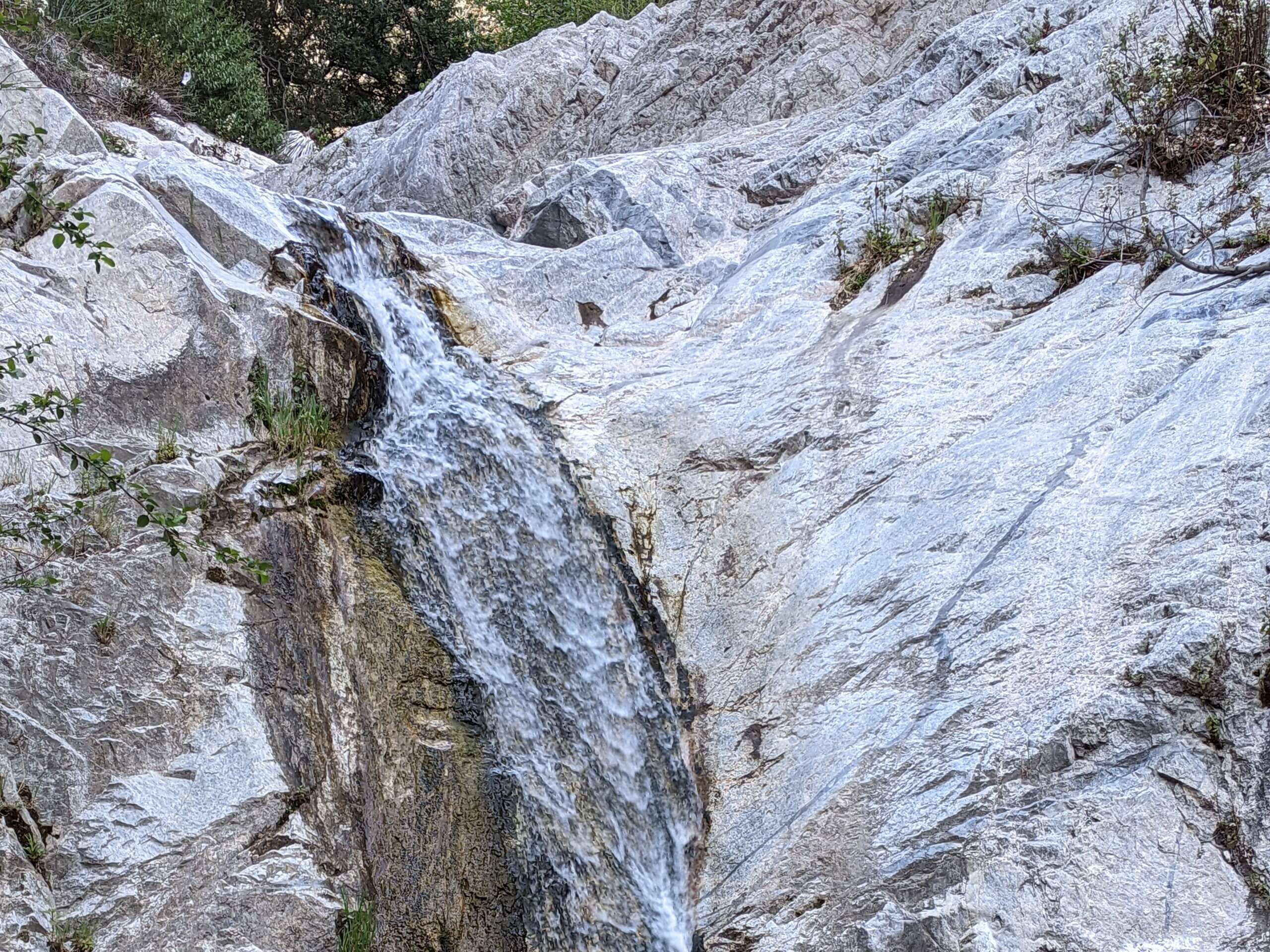
Switzer Falls via Gabrielino Trail
Difficulty Rating:
Hiking to Switzer Falls via the Gabrielino Trail is a fun experience in the Angeles National Forest that will take you along a fairly easy path to reach a stunning waterfall. While out on the trail, you will follow closely alongside the banks of Arroyo Seco, climbing slightly uphill to eventually arrive at both the Upper and Lower Switzer Falls. Hikers should always display a valid adventure pass in their vehicle when setting out on this hike.
Getting there
The starting point for this hike can be found at the Switzer Falls Trailhead on CA-2.

About
| Backcountry Campground | Switzer’s Trail Camp |
| When to do | Year-Round |
| Pets allowed | Yes - On Leash |
| Family friendly | Yes |
| Route Signage | Average |
| Crowd Levels | High |
| Route Type | Out and back |
Switzer Falls via Gabrielino Trail
Elevation Graph
Weather
Switzer Falls via Gabrielino Trail Description
The hike to Switzer Falls via Gabrielino Trail is one of the most popular waterfall hikes in Los Angeles County, meaning that you will likely need to time your hike properly if you want to avoid the crowds. Consider arriving early or at off peak times to do so. Additionally, the top of the falls can be reached with a bit of climbing, although it can be a bit precarious; make sure to exercise caution if attempting to reach the top of the falls.
Even though you will certainly have to share the trail with others, this is still a great excursion that features scenic views and is suitable for the family. A lovely riverside setting, mixed with a small amount of challenging terrain and beautiful waterfall views makes this an excellent option for a short day hike. What are you waiting for!
Setting out from the Switzer Falls Trailhead on CA-2, you will make your way to the southwest past the picnic area in order to cross over the banks of Arroyo Seco. From here, continue on to the southwest and follow along the river bank while taking in the natural beauty and peaceful atmosphere of the wooded riverside setting.
The trail will cross over the river several times, eventually bringing you onto the west bank. Here, you will pass by Switzer’s Trail Camp and exit the tree cover to arrive at Upper Switzer Falls. Continuing on to the southeast, the trail will climb further uphill through the rugged terrain, before hooking back to the northwest to cross back over the river.
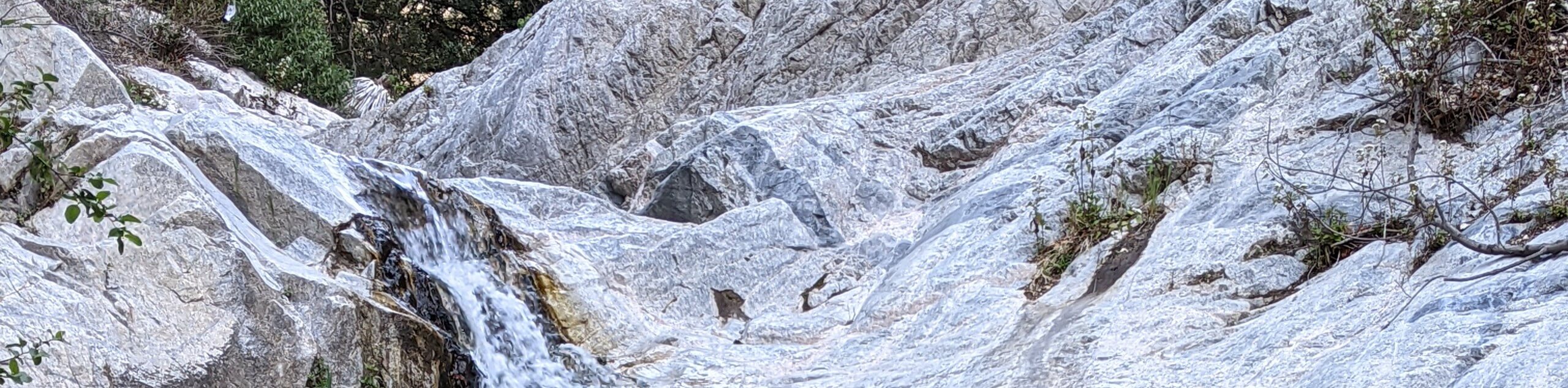
Here, you will arrive at the site of Lower Switzer Falls, where you can take in the beauty of the cascade as it crashes 50ft into the pool below. Those who are more adventurous can scramble up to the top of the falls, although this should be done with caution, as there have been fatalities in the past when doing so.
After exploring the area around the falls, simply head back along the same trail to return to the point where you began your hike.
Trail Highlights
Switzer Falls
One of the best known waterfalls within Los Angeles County, Switzer Falls is a 50ft tall cascade that crashes into a serene pool below. Located relatively close to both a picnic area and Switzer’s Trail Camp, this is a scenic destination to explore whether you are planning a day hike or a longer multi-day excursion.
Frequently Asked Questions
How long is the Switzer Falls Hike?
While there are a few different ways to reach the waterfall, this Switzer Falls Hike is 3.6mi long.
Do you need a pass to visit Switzer Falls?
Hikers will need to display an adventure pass when parking at the trailhead. Find more information using the above link.
Insider Hints
Wear proper hiking footwear
Exercise caution if you plan on scrambling to the top of the falls
Keep your dog on a leash at all times
Similar hikes to the Switzer Falls via Gabrielino Trail hike

Mount Zion via Lower Winter Creek Trail Loop
The Mount Zion via Lower Winter Creek Trail Loop is a physically demanding Southern California adventure that features waterfall and…

Castaic Falls Trail
Hiking the Castaic Falls Trail is a fun little adventure in the Angeles National Forest that features a charming waterfall.…

Graveyard Truck Trail
Hiking the Graveyard Truck Trail is a pleasant experience in Southern California that features easy-going terrain and views of the…
Comments