

Graveyard Truck Trail
View Photos
Graveyard Truck Trail
Difficulty Rating:
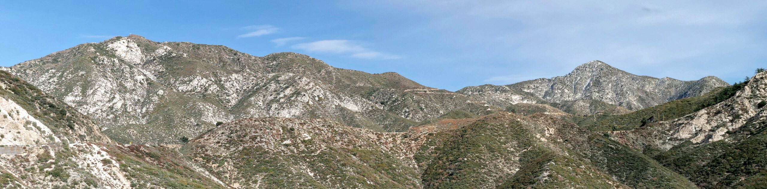
Hiking the Graveyard Truck Trail is a pleasant experience in Southern California that features easy-going terrain and views of the nearby mountains. While out on the trail, you will traverse the mildly-undulating landscape outside of Tujunga, but make sure to exercise caution, as the trail is fairly exposed to the sun. There isn’t much room for vehicles to park at the trailhead, so make sure to arrive early so that you can secure one of the limited spaces.
Getting there
The trailhead for this hike can be found at the end of Alpine Way in Tujunga, CA.

About
| Backcountry Campground | No |
| When to do | Year-Round |
| Pets allowed | Yes - On Leash |
| Family friendly | Yes |
| Route Signage | Average |
| Crowd Levels | Moderate |
| Route Type | Out and back |
Graveyard Truck Trail
Elevation Graph
Weather
Graveyard Truck Trail Description
Searching for a laidback trail within the boundary of the Angeles National Forest that the entire family will enjoy? Then you will definitely want to check out the Graveyard Truck Trail. Be sure to display your adventure pass in your vehicle and bring sun protection, as the trail features little shade.
Setting out from the trailhead on Alpine Way, you will initially head north for a short distance to reach a junction in the trail, before turning right. Here, you will make your way to the southeast across the undulating landscape, while taking in the views of nearby mountains.
After reaching the endpoint of the route, simply turn back and retrace your steps along the trail to return to your vehicle.
Similar hikes to the Graveyard Truck Trail hike

Castaic Falls Trail
Hiking the Castaic Falls Trail is a fun little adventure in the Angeles National Forest that features a charming waterfall.…

Sunset Peak Alternate Approach Hike
The Sunset Peak Alternate Approach Hike is a great intermediate-length route in Southern California that features some gorgeous canyon views.…
Mount Lawlor via Strawberry Peak Trail Loop
The hike up Mount Lawlor via the Strawberry Peak Trail Loop is a challenging adventure in the Angeles National Forest…
Comments