Sunset Ridge Saddle Loop Hike
View Photos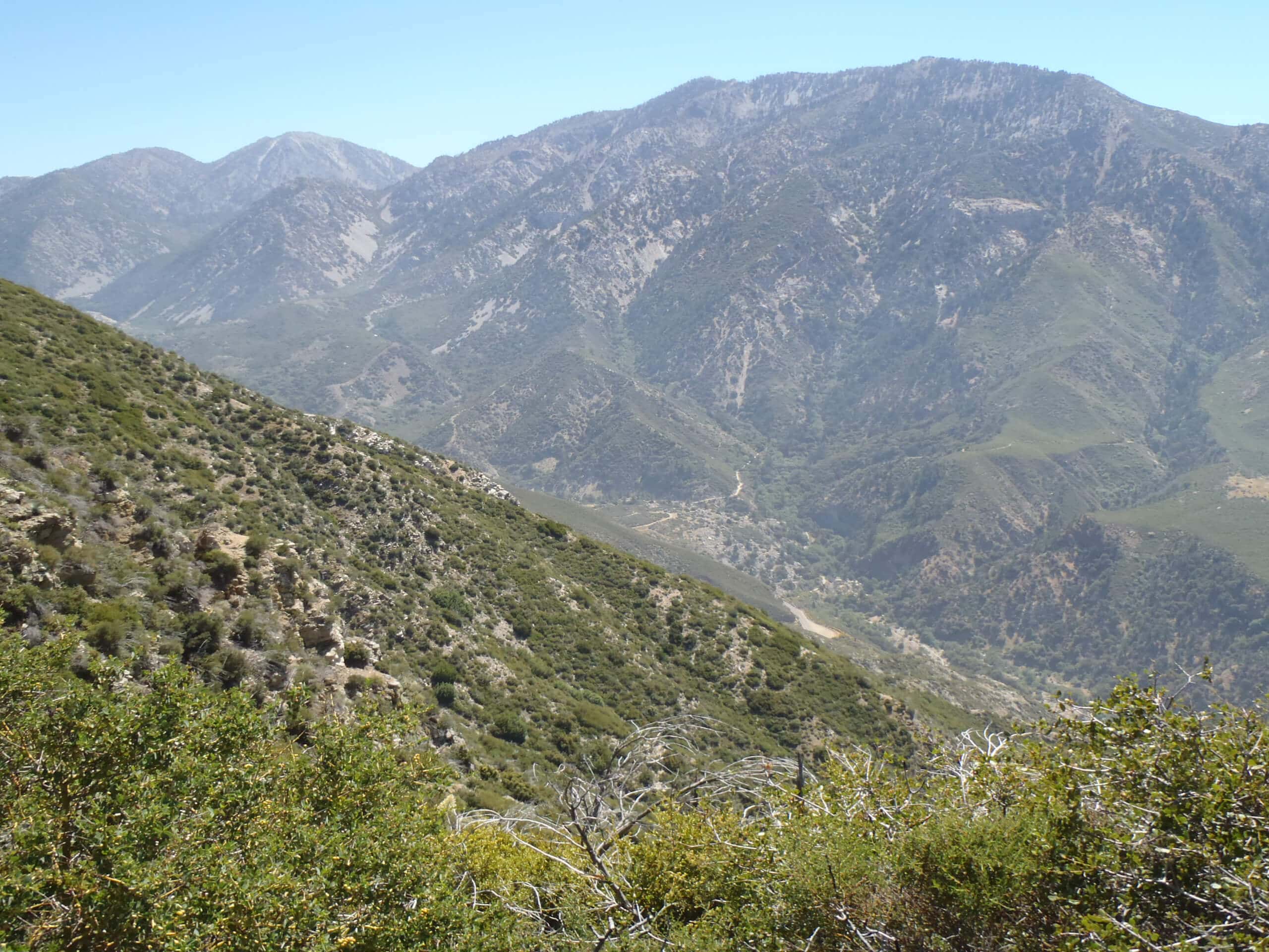
Sunset Ridge Saddle Loop Hike
Difficulty Rating:
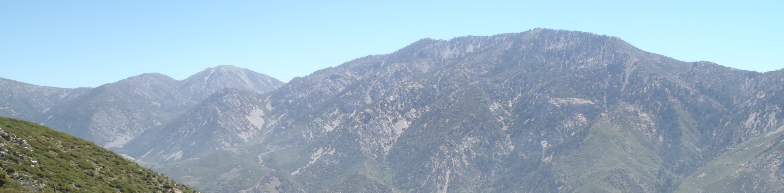
The Sunset Ridge Saddle Loop Hike is a great activity in the Angeles National Forest that will take you to view a scenic waterfall. While out on the trail, you will climb uphill through the scenic Millard Canyon and take in the views of the surrounding landscape, before looping around past the cascading waters of Millard Falls. Make sure to present your adventure pass in your vehicle prior to setting out on your excursion to avoid being fined.
Getting there
The trailhead for the Sunset Ridge Saddle Loop Hike can be found at the junction where the Chaney Trail, Mount Lowe Road, and the Brown Mountain truck Trail meet.

About
| Backcountry Campground | No |
| When to do | Reasonable start/end dates for route |
| Pets allowed | Yes - On Leash |
| Family friendly | Older Children only |
| Route Signage | Average |
| Crowd Levels | High |
| Route Type | Lollipop |
Sunset Ridge Saddle Loop Hike
Elevation Graph
Weather
Sunset Ridge Saddle Loop Hike Description
Featuring a good uphill climb and some lovely views of the surrounding mountains and canyon terrain, the Sunset Ridge Saddle Loop Hike is a great option if you are looking for a challenging trail to beat in the Altadena area.
Setting out from the trailhead, you will follow the winding Mount Lowe Motorway as it climbs uphill to the northeast. Eventually, you will break off to the left onto the Sunset Ridge Trail and follow it back to the southwest through Millard Canyon.
As you traverse the rugged terrain of the canyon, take some time to appreciate its natural beauty, before arriving at a viewpoint for the Millard Falls. From here, you will soon meet back up with the Mount Lowe Motorway and follow it back into the trailhead where you started.
Similar hikes to the Sunset Ridge Saddle Loop Hike hike

Mount Zion via Lower Winter Creek Trail Loop
The Mount Zion via Lower Winter Creek Trail Loop is a physically demanding Southern California adventure that features waterfall and…

Castaic Falls Trail
Hiking the Castaic Falls Trail is a fun little adventure in the Angeles National Forest that features a charming waterfall.…

Graveyard Truck Trail
Hiking the Graveyard Truck Trail is a pleasant experience in Southern California that features easy-going terrain and views of the…
Comments