Gabrielino Trail
View Photos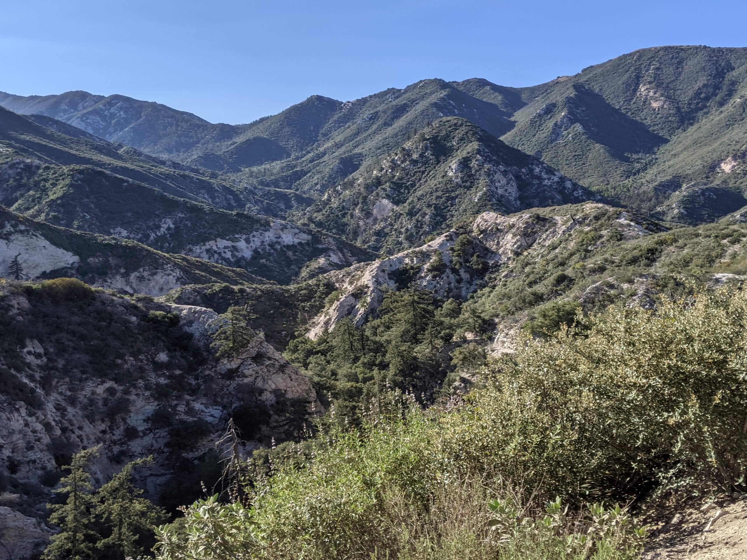
Gabrielino Trail
Difficulty Rating:
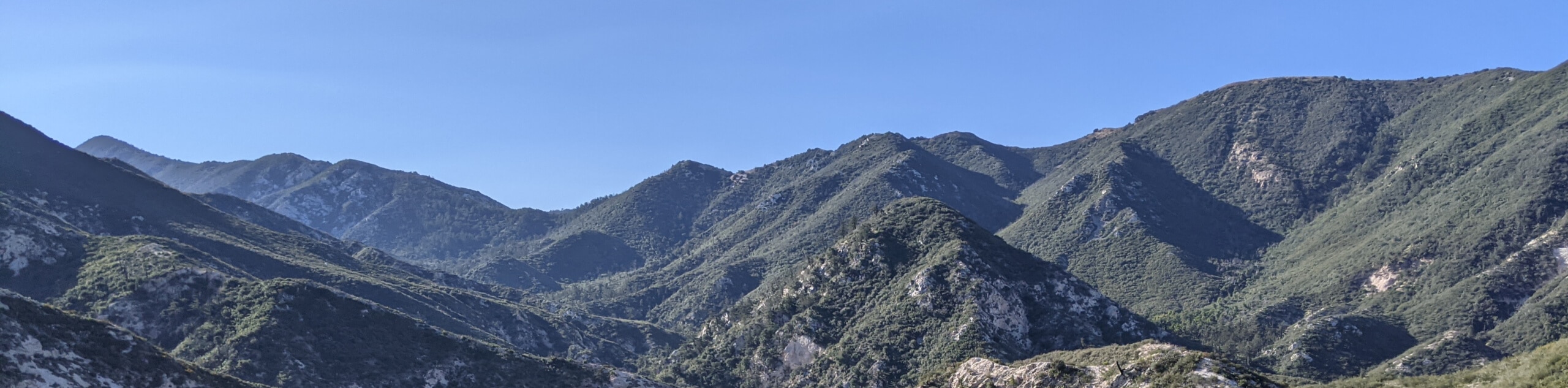
The Gabrielino Trail is a fantastic family-friendly hiking route in Angeles National Forest that utilizes a multi-use path through scenic canyon. While out on the trail, you will traverse a variety of terrain that is both man-made and natural, passing through the beautiful Fern Canyon before turning back for the return leg. As this is a multi-use trail, make sure to keep an eye out and leave enough room for others to safely pass.
Getting there
The starting point for the Gabrielino Trail can be found at the corner of N Windsor Avenue and Ventura Street in Altadena.

About
| Backcountry Campground | Gould Mesa Campground |
| When to do | Year-Round |
| Pets allowed | Yes - On Leash |
| Family friendly | Older Children only |
| Route Signage | Average |
| Crowd Levels | High |
| Route Type | Out and back |
Gabrielino Trail
Elevation Graph
Weather
Gabrielino Trail Description
If you find yourself in Altadena, California and want to set out on a relaxing adventure through an easily-accessible portion of the Angeles National Forest, then look no further than the Gabrielino Trail.
This lengthy and laidback trail will allow you to leave the city behind, as you traverse paved and natural pathways through a series of beautiful canyons alongside Arroyo Seco. There are a few stream crossings that can be tricky when water levels are high, but other than that this is a pretty straightforward adventure.
Eventually, you will pass by the Gould Mesa Camp and arrive at the Paul Little Picnic Area, which marks the endpoint of the route. After pausing for a relaxing outdoor lunch, simply follow the same route back to the trailhead where you began.
Similar hikes to the Gabrielino Trail hike

Castaic Falls Trail
Hiking the Castaic Falls Trail is a fun little adventure in the Angeles National Forest that features a charming waterfall.…

Graveyard Truck Trail
Hiking the Graveyard Truck Trail is a pleasant experience in Southern California that features easy-going terrain and views of the…

Sunset Peak Alternate Approach Hike
The Sunset Peak Alternate Approach Hike is a great intermediate-length route in Southern California that features some gorgeous canyon views.…
Comments