Mount Lowe Campground Trail
View Photos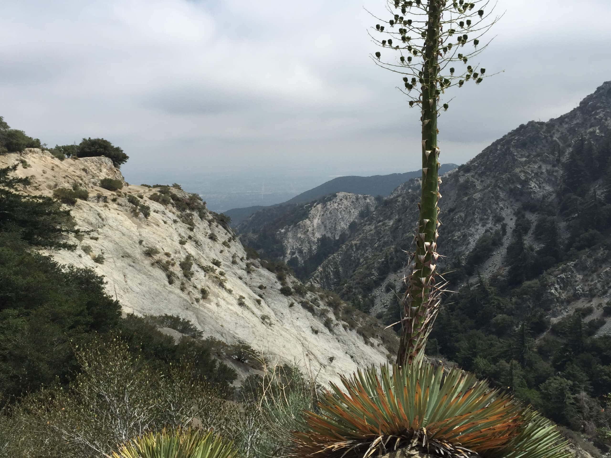
Mount Lowe Campground Trail
Difficulty Rating:
Hiking the Mount Lowe Campground Trail is a great adventure in the Angeles National Forest that offers some scenic views of the surrounding peaks. The trail is of moderate length and follows along a fire road, making a great option for casual hikers and beginners. Make sure to have your valid adventure pass displayed on your dashboard prior to setting out on your excursion.
Getting there
The starting point for the Mount Lowe Campground Trail can be found at the parking lot next to the Eaton Saddle Trailhead on Mount Wilson Red Box Road.

About
| Backcountry Campground | Mount Lowe Trail Camp |
| When to do | Year-Round |
| Pets allowed | Yes - On Leash |
| Family friendly | Older Children only |
| Route Signage | Average |
| Crowd Levels | Moderate |
| Route Type | Out and back |
Mount Lowe Campground Trail
Elevation Graph
Weather
Mount Lowe Campground Trail Description
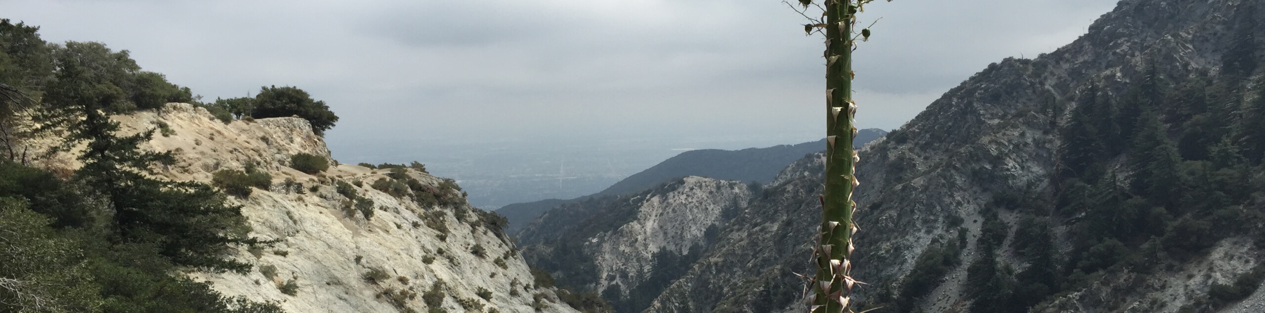
Featuring beautifully scenic mountain views and a relatively easy to traverse route, the Mount Lowe Campground Trail is a great hike for newbies looking to take in the beauty of Southern California. Awesome views of San Gabriel Peak, Mount Lowe, and the vista at Inspiration Point make for a solid day on the trails.
Setting out from the trailhead, you will follow along Mount Lowe Road as it leads to the southwest between San Gabriel Peak and Mount Markham. Eventually, the road will turn to the south along the slopes of Mount Lowe to bring you to Inspiration Point, where you will enjoy great views of the surrounding landscape. From here, follow the same route back to return to your vehicle.
Similar hikes to the Mount Lowe Campground Trail hike

Mount Zion via Lower Winter Creek Trail Loop
The Mount Zion via Lower Winter Creek Trail Loop is a physically demanding Southern California adventure that features waterfall and…

Castaic Falls Trail
Hiking the Castaic Falls Trail is a fun little adventure in the Angeles National Forest that features a charming waterfall.…

Graveyard Truck Trail
Hiking the Graveyard Truck Trail is a pleasant experience in Southern California that features easy-going terrain and views of the…
Comments