
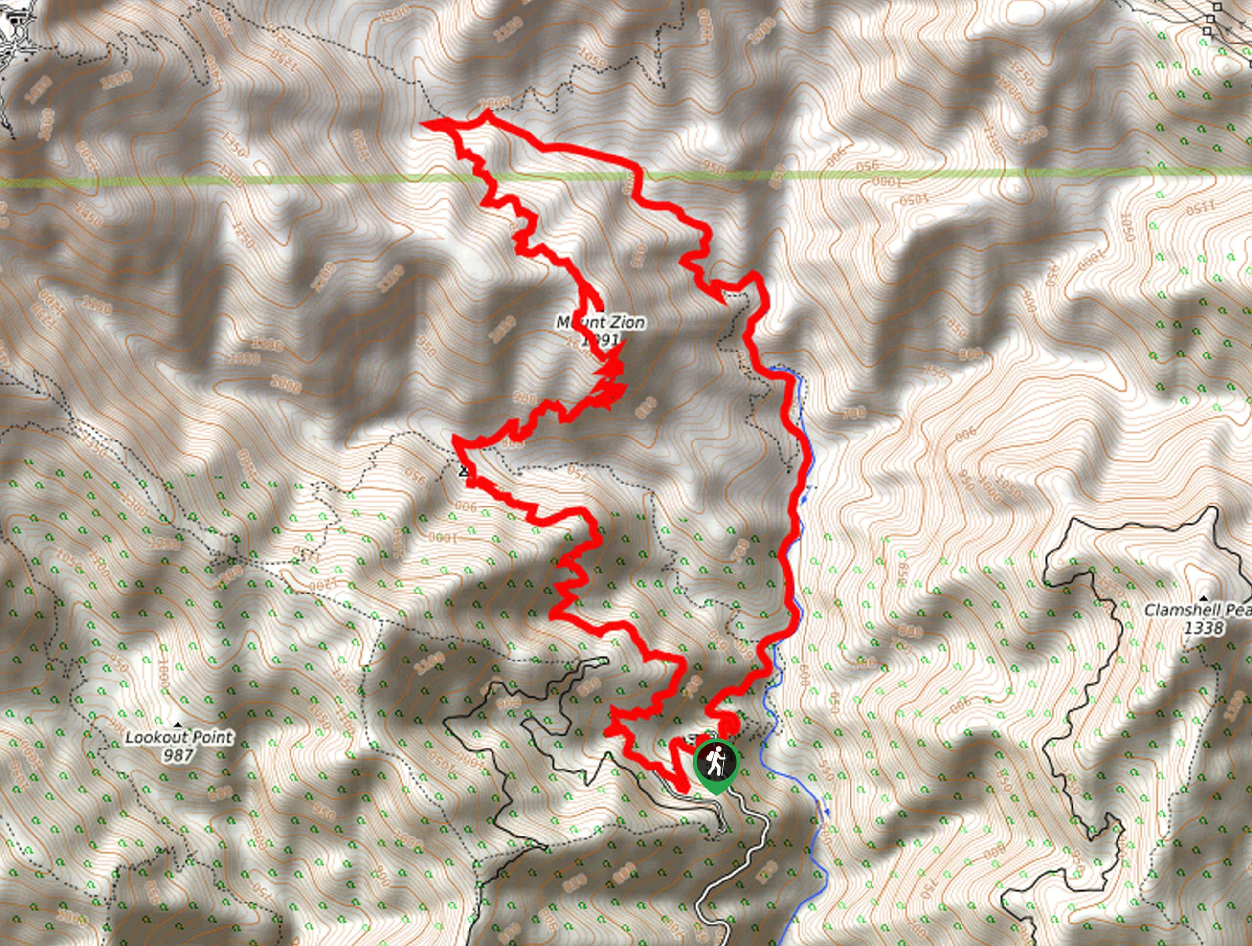
Mount Zion Loop Trail
View Photos
Mount Zion Loop Trail
Difficulty Rating:
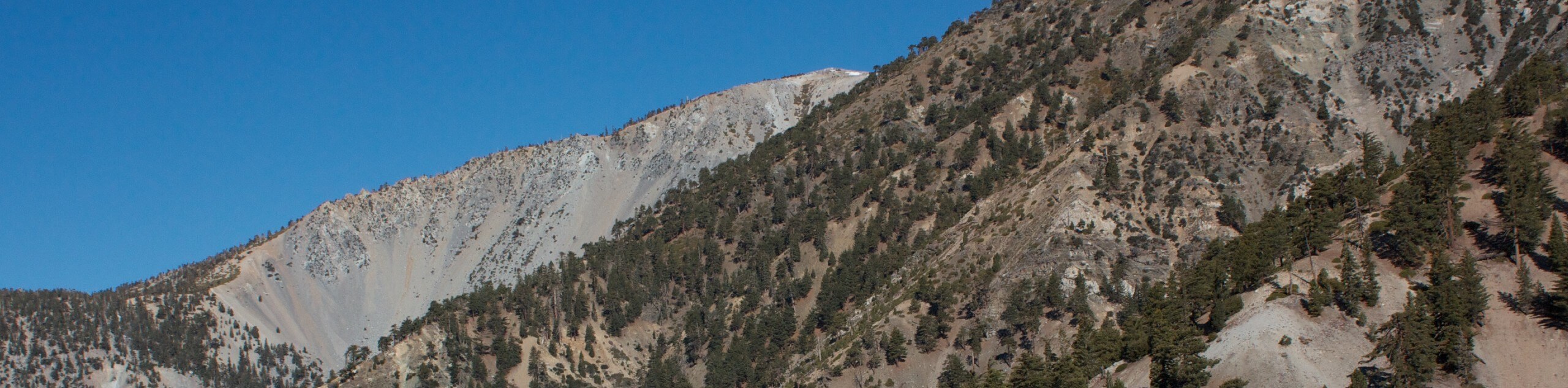
Hiking the Mount Zion loop Trail is a wonderful experience in the Angeles National Forest of Southern California that offers amazing views of the surrounding canyon. While out on the trail, you will work your way through the rugged terrain of the Big Santa Anita Canyon, stopping off at several sites to take in the beautiful views of cascading waterfalls. Make sure to have your adventure pass visible in your vehicle before setting out on your hike.
This trail is currently closed until further notice due to wildfires in the area.
Getting there
The starting point for the Mount Zion Loop Trail can be found at the Chantry Flats parking lot along Santa Anita Canyon Avenue.

About
| Backcountry Campground | Hoegee’s Camp, Spruce Grove Campground |
| When to do | May-October |
| Pets allowed | Yes - On Leash |
| Family friendly | Older Children only |
| Route Signage | Average |
| Crowd Levels | Moderate |
| Route Type | Circuit |
Mount Zion Loop Trail
Elevation Graph
Weather
Mount Zion Loop Trail Description
For those adventurers who want to push themselves on a lengthy and rugged hike, but still want to stop and take in the natural beauty of their surroundings, the Mount Zion Loop Trail is a fantastic option in Southern California to explore.
Setting out from the parking lot at Chantry Flats, you will head to the northeast along a forest service road that runs parallel to the Santa Anita Wash. Here, you will pass by several stunning waterfalls, including the beautiful Sturtevant Falls.
Eventually, the trail will climb uphill through the forest to the northwest, before turning back to the southeast to climb Mount Zion along the Mount Zion Trail. After working through the mountainous terrain, you will eventually descend into the Chantry Flats parking lot where you began your journey.
Similar hikes to the Mount Zion Loop Trail hike

Mount Zion via Lower Winter Creek Trail Loop
The Mount Zion via Lower Winter Creek Trail Loop is a physically demanding Southern California adventure that features waterfall and…

Sunset Peak Alternate Approach Hike
The Sunset Peak Alternate Approach Hike is a great intermediate-length route in Southern California that features some gorgeous canyon views.…
Register Ridge to Mount San Antonio Hike
The Register Ridge to Mount San Antonio Hike is equal parts scenic and incredibly challenging. While out on the trail,…
Comments