Register Ridge to Mount San Antonio Hike
View Photos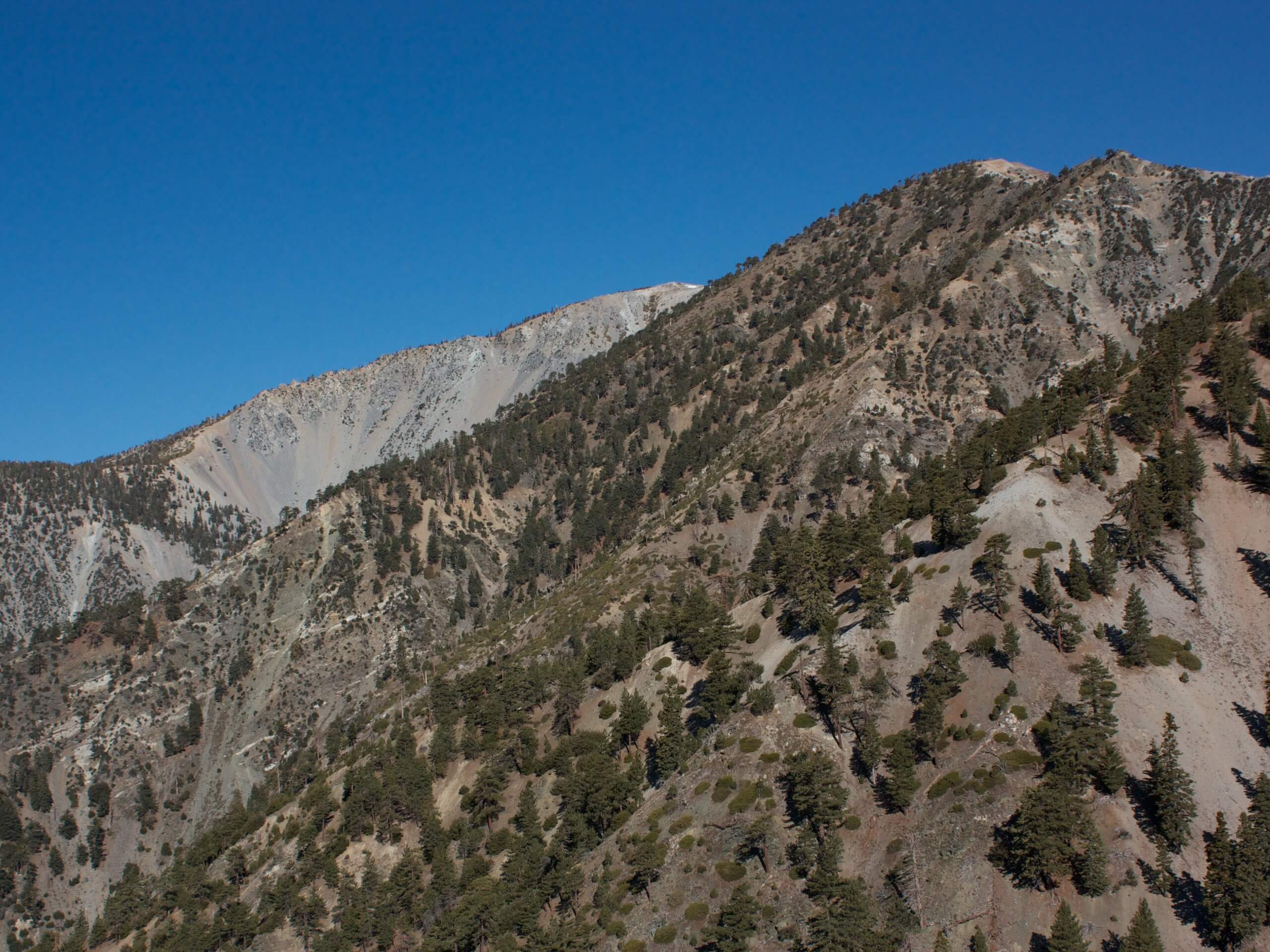
Register Ridge to Mount San Antonio Hike
Difficulty Rating:
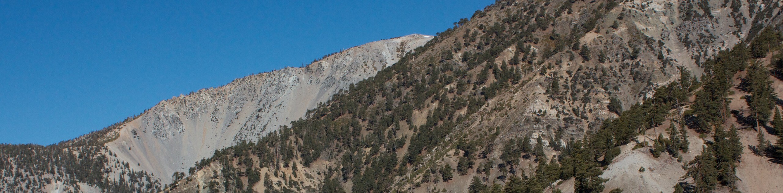
The Register Ridge to Mount San Antonio Hike is equal parts scenic and incredibly challenging. While out on the trail, you will visit a viewpoint for the San Antonio Falls, before traversing a steep slope on the way to the scenic summit of Mount San Antonio. Make sure to have your adventure pass visible in your car prior to setting out on your hike.
Getting there
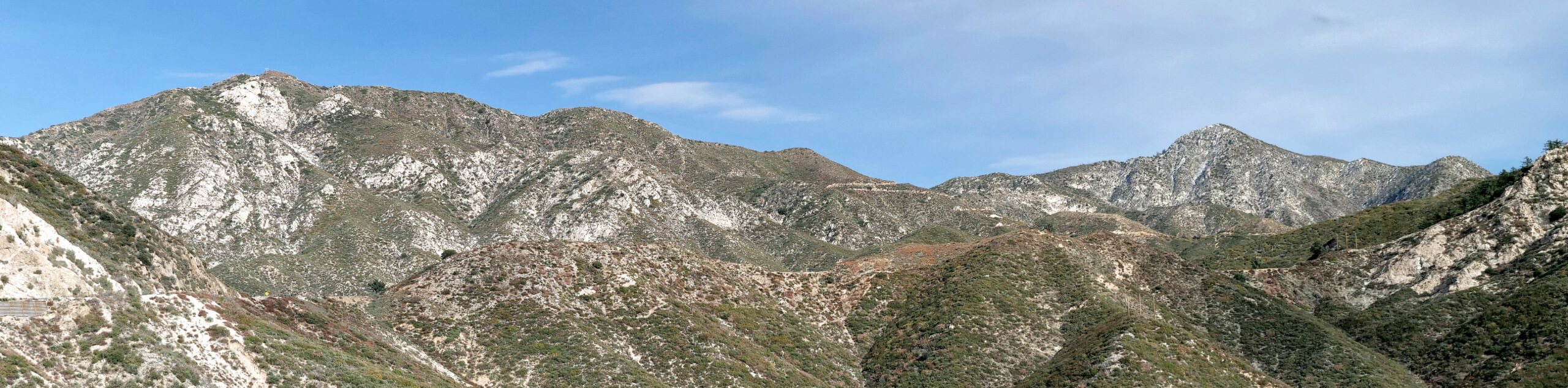
The trailhead for this hike can be found at the car park in Manker Flats on Mt Baldy Road.

About
| Backcountry Campground | No |
| When to do | May-October |
| Pets allowed | Yes - On Leash |
| Family friendly | No |
| Route Signage | Average |
| Crowd Levels | Moderate |
| Route Type | Lollipop |
Register Ridge to Mount San Antonio Hike
Elevation Graph
Weather
Register Ridge to Mount San Antonio Hike Description
Prepare yourself for an intense climb and plenty of leg burn if you plan on hiking Register Ridge to Mount San Antonio. If you want to work extra hard for some rewarding views, then this is certainly the trail for you!
Setting out from the trailhead, you will follow Baldy Road for a short distance to the viewpoint for the San Antonio Falls, where you can gaze out at the cascading water before continuing on your journey. After making a left on the Baldy Bowl Trail, you will keep right at the next fork to begin the steep and intense climb up Register Ridge to the summit of Mount Harwood.
After trudging uphill and regaining your breath, continue on to the northwest to reach the summit of Mount San Antonio. After taking in the views, turn back along the trail – this time skipping the summit of Mount Harwood – and follow the same steep route downhill to return to the trailhead where you began.
Similar hikes to the Register Ridge to Mount San Antonio Hike hike

Mount Zion via Lower Winter Creek Trail Loop
The Mount Zion via Lower Winter Creek Trail Loop is a physically demanding Southern California adventure that features waterfall and…

Sunset Peak Alternate Approach Hike
The Sunset Peak Alternate Approach Hike is a great intermediate-length route in Southern California that features some gorgeous canyon views.…
Mount Lawlor via Strawberry Peak Trail Loop
The hike up Mount Lawlor via the Strawberry Peak Trail Loop is a challenging adventure in the Angeles National Forest…
Comments