
Whernside and Ingleborough Circular Walk
View Photos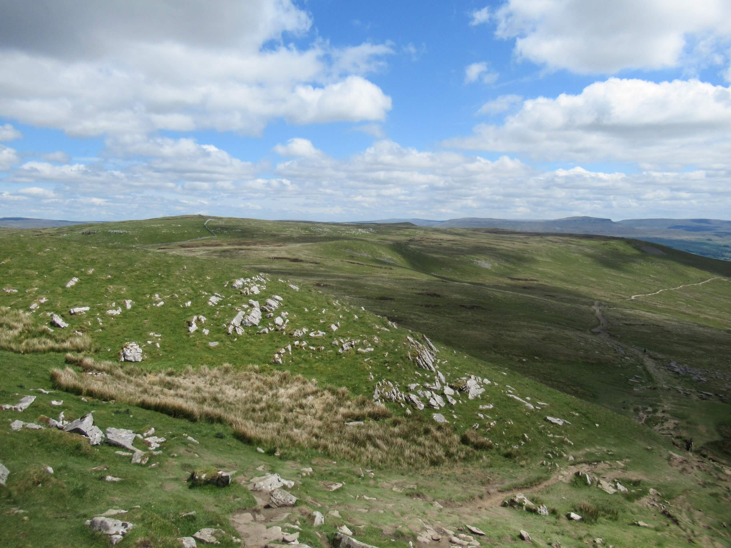
Whernside and Ingleborough Circular Walk
Difficulty Rating:
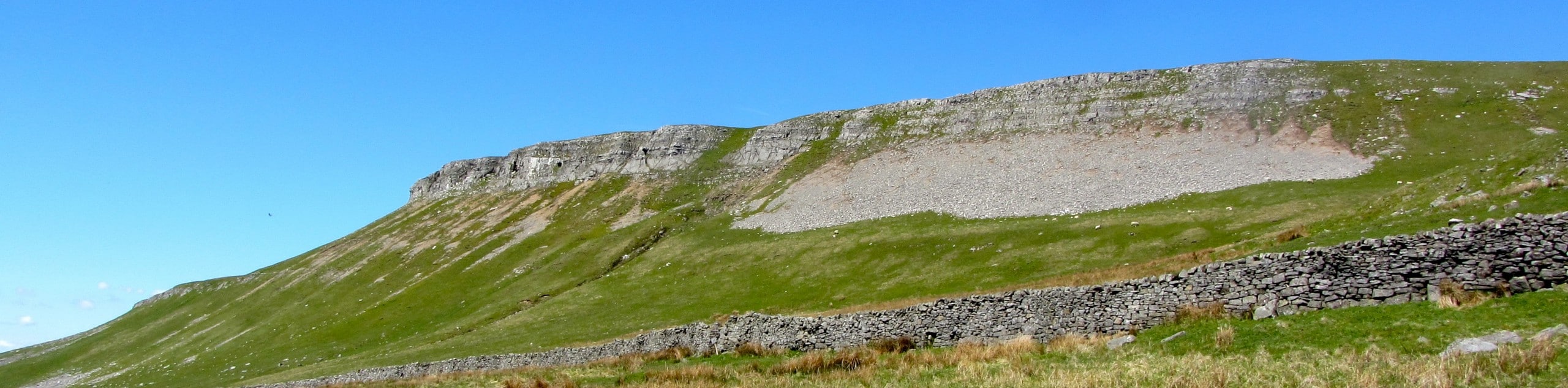
Walking the Whernside and Ingleborough Circular Trail is a challenging, yet beautifully scenic adventure that will take you uphill to the two highest peaks in the Yorkshire Dales. While out walking the trail, you will first climb up the rugged terrain of the moor to reach the summit of Whernside before heading down into the valley and back up the opposite side to climb to the summit of Ingleborough. It may be a difficult walk, but the stunning views are almost unmatched.
Getting there
To get to the car park for the Whernside and Ingleborough Circular Walk from Ingleton, make your way east for 5.9mi along High Street/B6255 and turn right.

About
| Backcountry Campground | No |
| When to do | March-October |
| Pets allowed | Yes - On Leash |
| Family friendly | No |
| Route Signage | Average |
| Crowd Levels | Low |
| Route Type | Lollipop |
Whernside and Ingleborough Circular Walk
Elevation Graph
Weather
Whernside and Ingleborough Circular Walk Description
If you are looking to really push yourself to obtain some of the best views in the Yorkshire Dales National PArk, then you will likely want to try your hand at the Whernside and Ingleborough Circular Walk. Make no mistake though, this is a challenging walk and you will need to be prepared for it. Wear sturdy walking boots with good support, bring extra layers to combat exposure, and pack plenty of water and snacks.
Setting out from the car park, you will head to the northwest across the open countryside to pass by the beautifully constructed Ribblehead Viaduct, following along with the rail line to reach the northeast slope of Whernside. From here, you will turn to the west and begin the steep climb uphill that will bring you to the summit of the highest peak in the Yorkshire Dales. Take some time to appreciate the stunning views overlooking the park before heading south to descend the mountainside.
After traversing the lush valley floor, you will continue to the south and once again begin to climb the steep hillside, this time on the way to Ingleborough – the second highest peak in the Yorkshire Dales. After arriving at the top of the mountain and appreciating the opposite view of the valley when compared to those from atop Whernside, you will head to the northeast to descend the mountain side while traversing the summit of Park Fell. From here, you will head downhill and traverse the open countryside, meeting up with the road and following it back to the trailhead where you began.
Similar hikes to the Whernside and Ingleborough Circular Walk hike
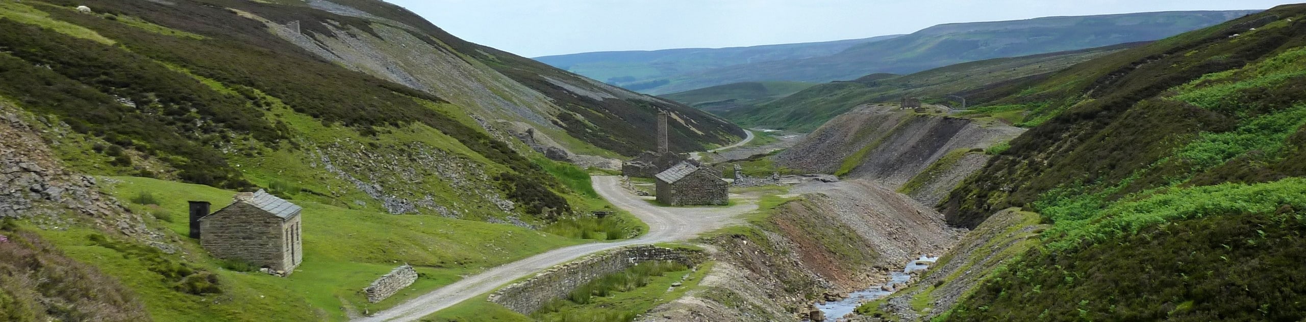
Old Gang Smelt Mill and Reeth High Moor Walk
The Old Gang Smelt Mill and Reeth High Moor Walk is a rough and rugged adventure that will take you…
Hawes and Sedbusk Walk
The Hawes and Sedbusk Walk is a great family-friendly adventure in Yorkshire Dales National Park that will take you through…
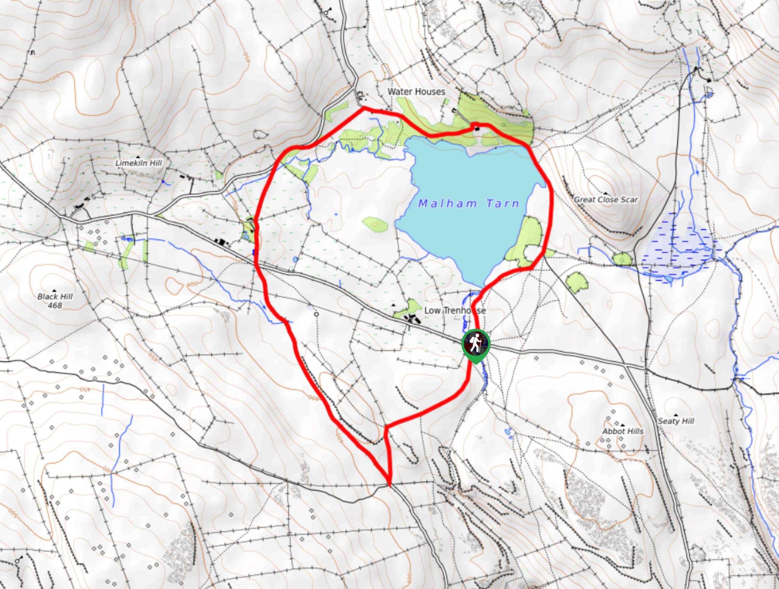
Malham Tarn Upland Farm Walk
The Malham Tarn Upland Farm Walk is a fantastic route in Yorkshire Dales National Park that will take you around…
Comments