Hawes and Sedbusk Walk
View Photos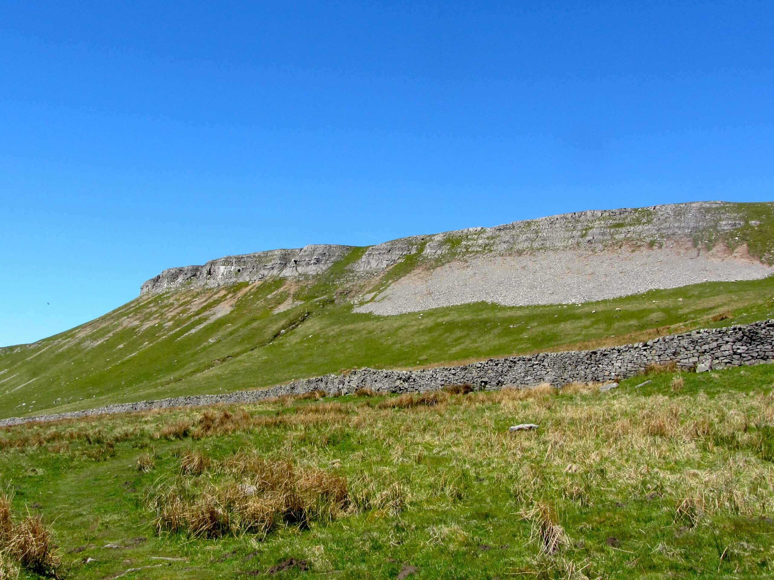
Hawes and Sedbusk Walk
Difficulty Rating:
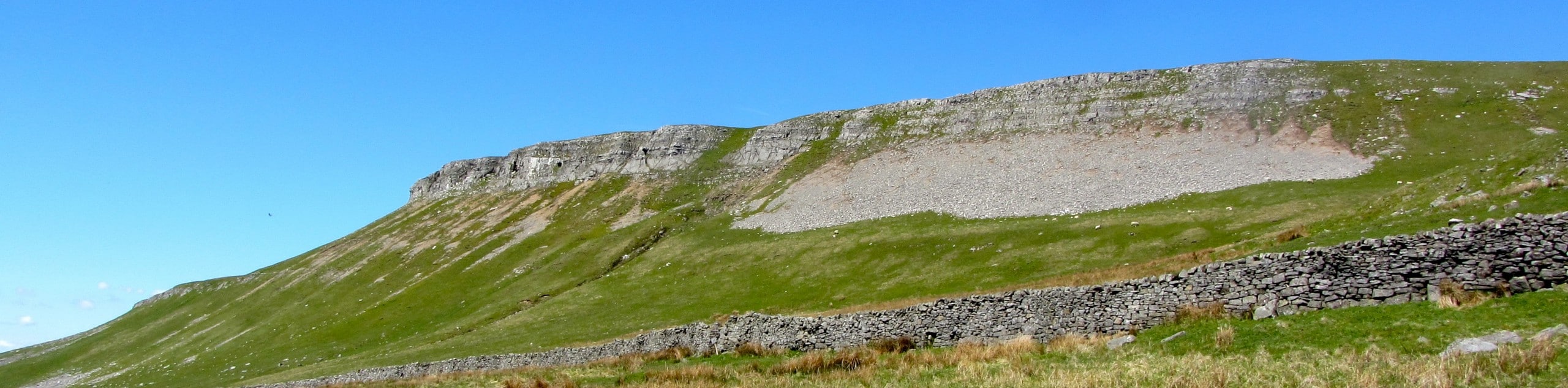
The Hawes and Sedbusk Walk is a great family-friendly adventure in Yorkshire Dales National Park that will take you through several villages in Wensleydale. While out walking the trail, you will cross over the River Ure and enjoy scenic views across the valley floor, as you work your way through the charming villages of Hardraw, Simonstone, and Sedbusk. The route is mostly flat with only one somewhat steep climb, making it suitable for a variety of ages and skill levels.
Getting there
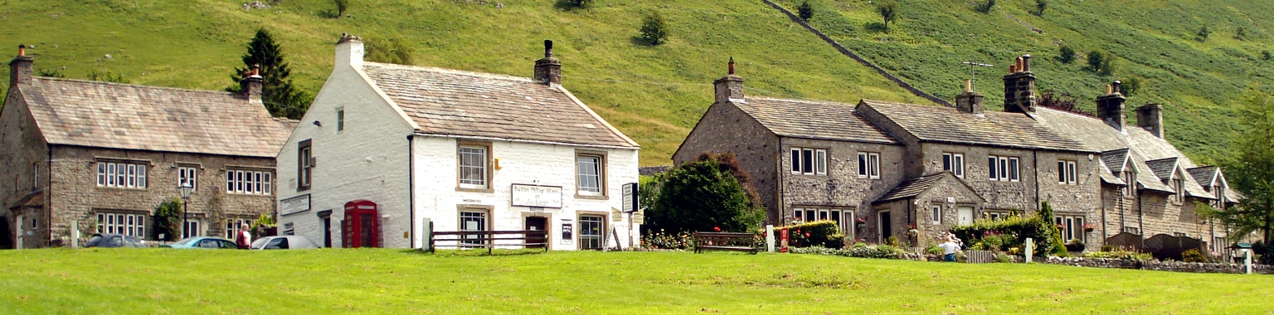
To get to the trailhead for the Hawes and Sedbusk Walk from Leyburn, drive to the southwest on Wensley Road for 16.5mi and turn left onto Gayle Lane. Follow this for 282ft and turn left to enter the car park.

About
| Backcountry Campground | No |
| When to do | Year-Round |
| Pets allowed | Yes - On Leash |
| Family friendly | Yes |
| Route Signage | Average |
| Crowd Levels | Moderate |
| Route Type | Lollipop |
Hawes and Sedbusk Walk
Elevation Graph
Weather
Hawes and Sedbusk Walk Description
If challenging full-day walks aren’t really your style, but you are still looking to experience a beautiful part of the Yorkshire Dales, then you should definitely check out the Hawes and Sedbusk Walk. This quick and easy adventure will lead you around several charming villages that are nestled within Wensleydale and provide lovely views of the surrounding valley landscape.
Setting out from the trailhead in the market town of Hawes, you will make your way east along Market Place to cross over Gayle Beck before turning to the north along Brunt Acres Road. From here, you will continue north across the flowing waters of the River Ure, bearing left onto a footpath to traverse the open countryside on the way to Hardraw.
After passing through this small village, you will turn to the northeast and make the steep climb up the hillside to Simonstone, before turning east along the level trail to reach the village of Sedbusk. Once you have completed this tour through the small villages, make your way to the southwest to head downhill towards the banks of the River Ure, crossing over it once more on the return leg of the walk back to the trailhead in Hawes.
Similar hikes to the Hawes and Sedbusk Walk hike
Old Gang Smelt Mill and Reeth High Moor Walk
The Old Gang Smelt Mill and Reeth High Moor Walk is a rough and rugged adventure that will take you…
Buckden Circular Walk
The Buckden Circular Walk is a lovely adventure in Yorkshire Dales National Park that will provide scenic views overlooking Wharfedale…
Malham Tarn Upland Farm Walk
The Malham Tarn Upland Farm Walk is a fantastic route in Yorkshire Dales National Park that will take you around…
Comments