Booth Falls Trail hike
View Photos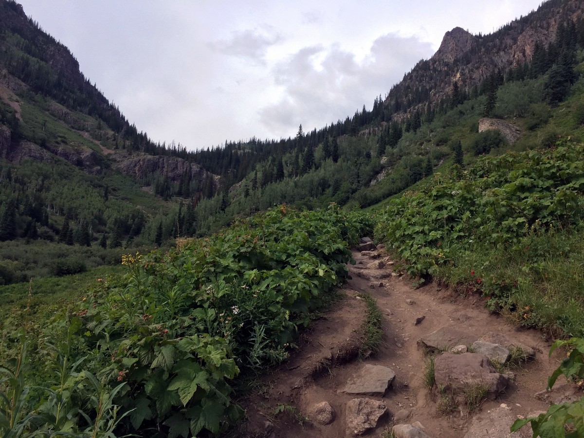
Booth Falls Trail hike
Difficulty Rating:
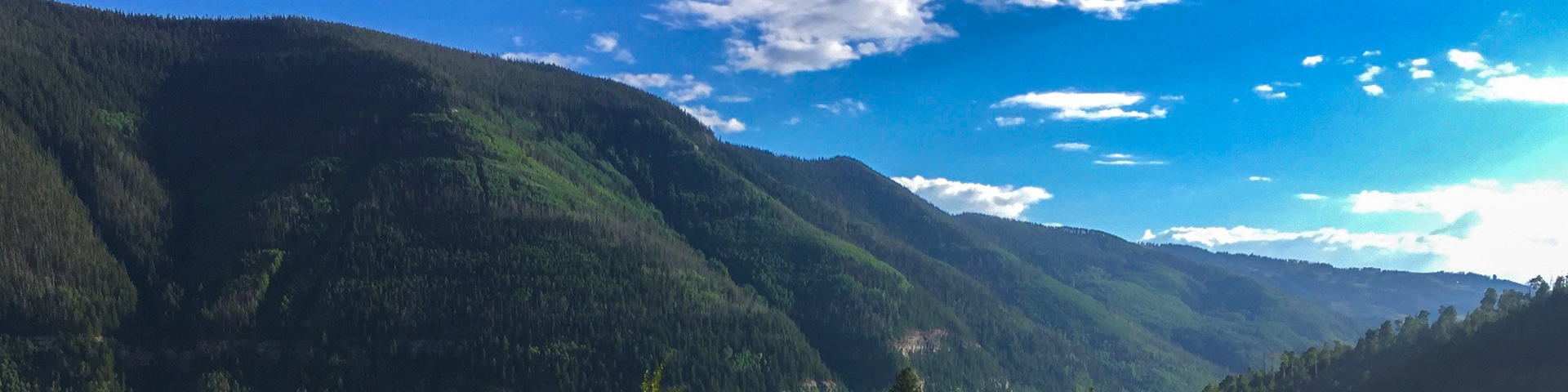
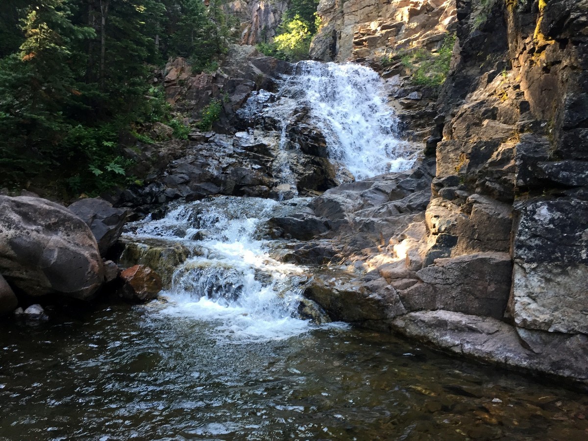
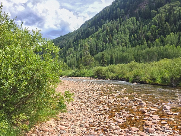
The Booth Creek Trail, that leads to Booth Falls, hikes through the Booth Creek drainage. It is lined with spectacular sandstone rock formations. You’ll hike past aspen groves and beautiful meadows to an 59ft waterfall.
Getting there
From Vail, take Vail Rd to traffic circle. Take 1st exit onto S Frontage Rd E in 3.0mi you’ll see Booth Falls Road. You have to go left and then immediately right to get on it. Drive to the end of the road to reach the trailhead. There’s limited parking.

About
| When to do | Spring/Summer/Fall |
| Backcountry Campsites | No |
| Toilets | No |
| Family friendly | No |
| Route Signage | Average |
| Crowd Levels | High |
| Route Type | Out and back |
Booth Falls Trail
Elevation Graph
Weather
Route Description for Booth Falls Trail
This isn’t too challenging of a hike to follow. The trail’s two forks are marked with trail signs directing you towards the falls, so keep that in mind.
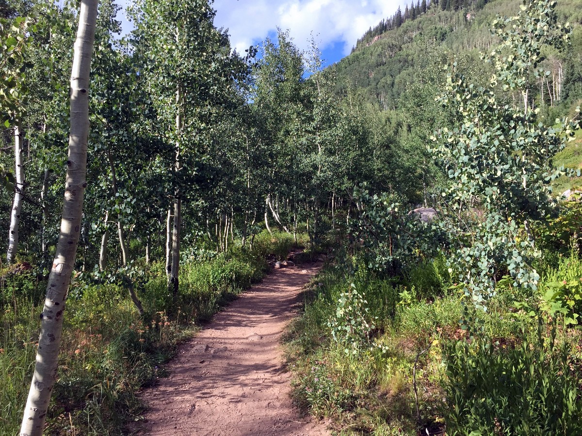
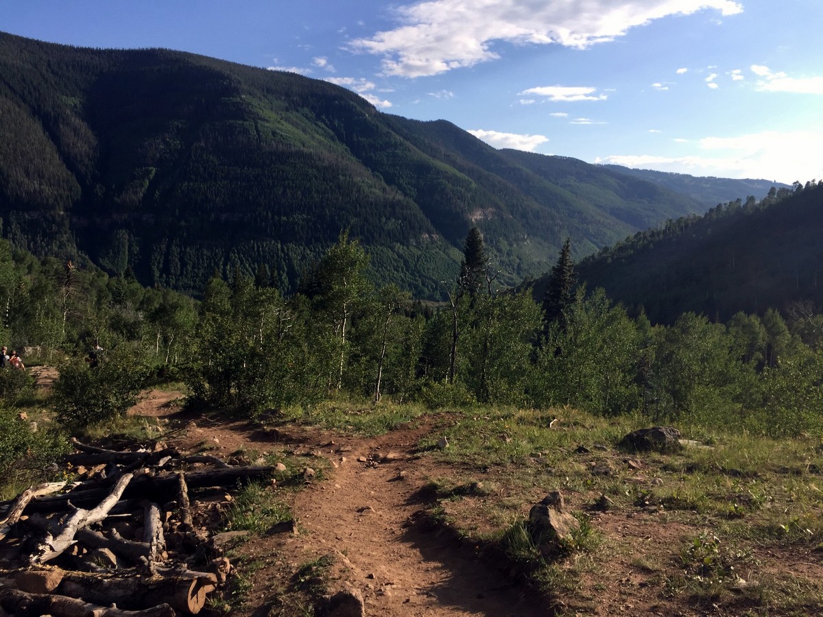
Now, the trail begins just past the trailhead information board. You’ll begin by facing a steep 0.6mi. After that, it mellows out to a more gradual incline, keeping a fairly constant elevation gain until the falls.
At the beginning of the hike, the valley’s upper walls are lined with stunning sandstone rock formations that range from a vibrant red to a yellowish tan.
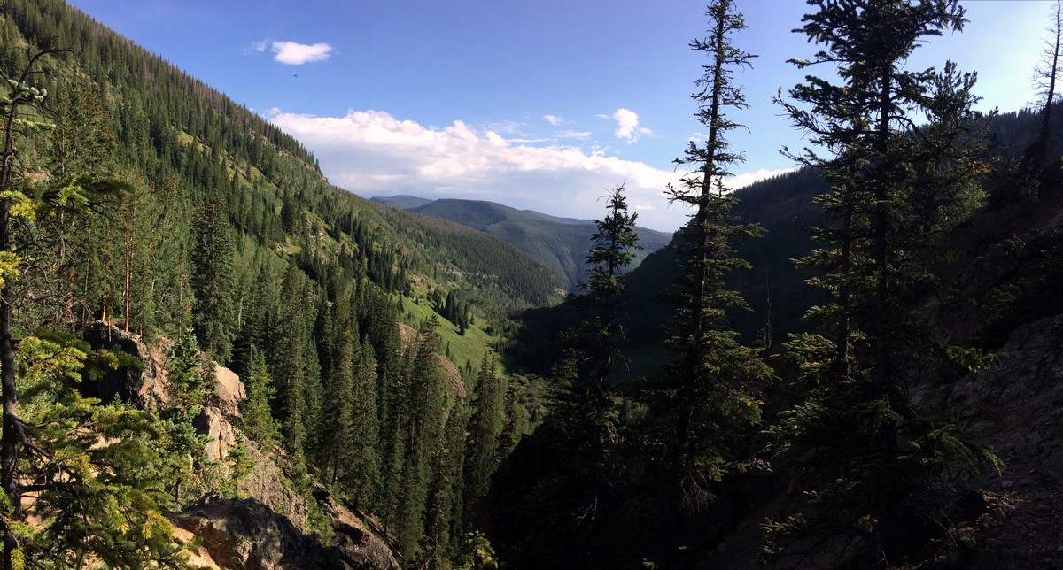
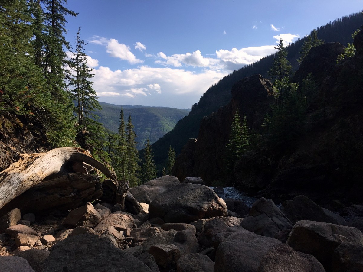
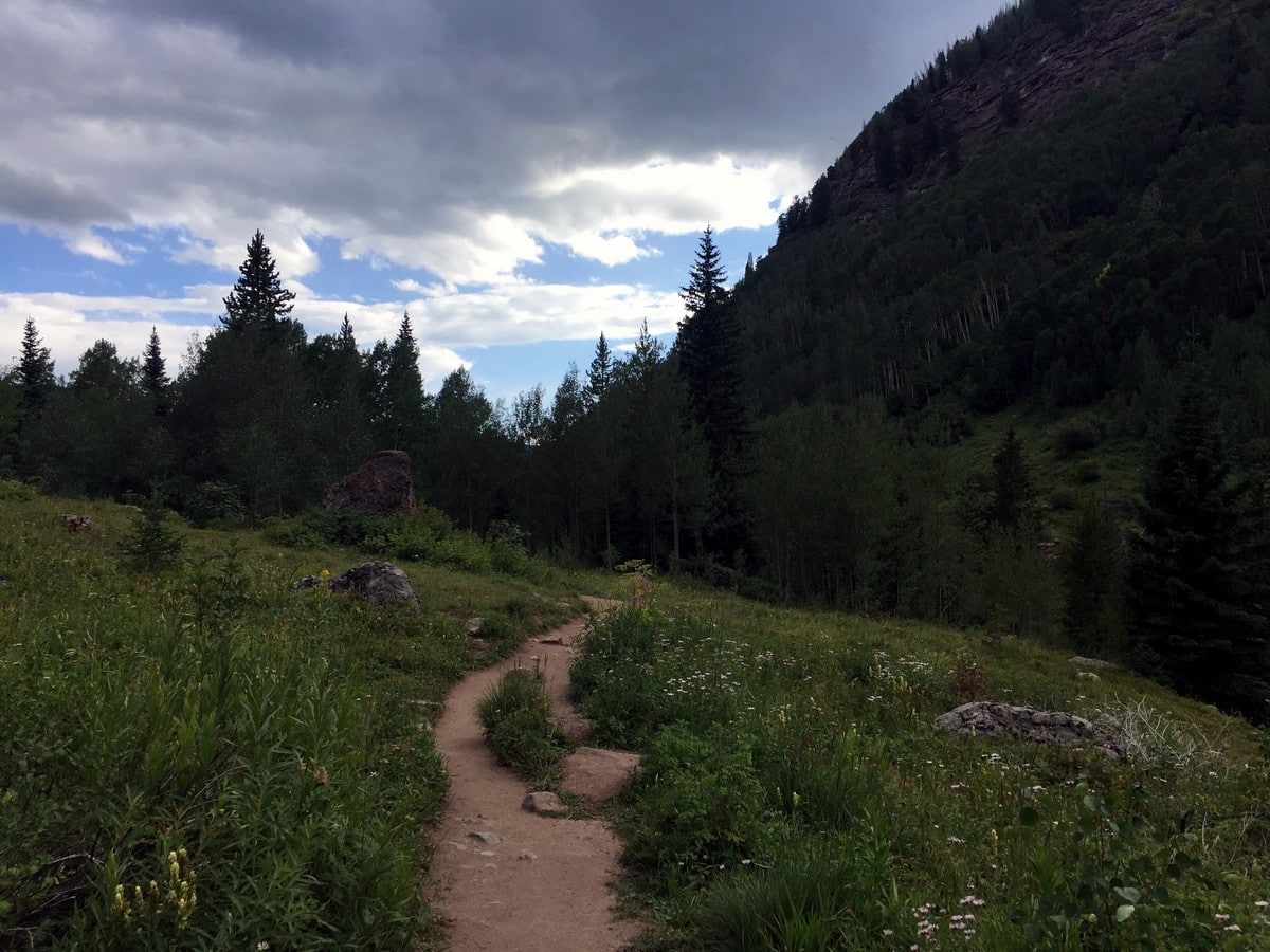
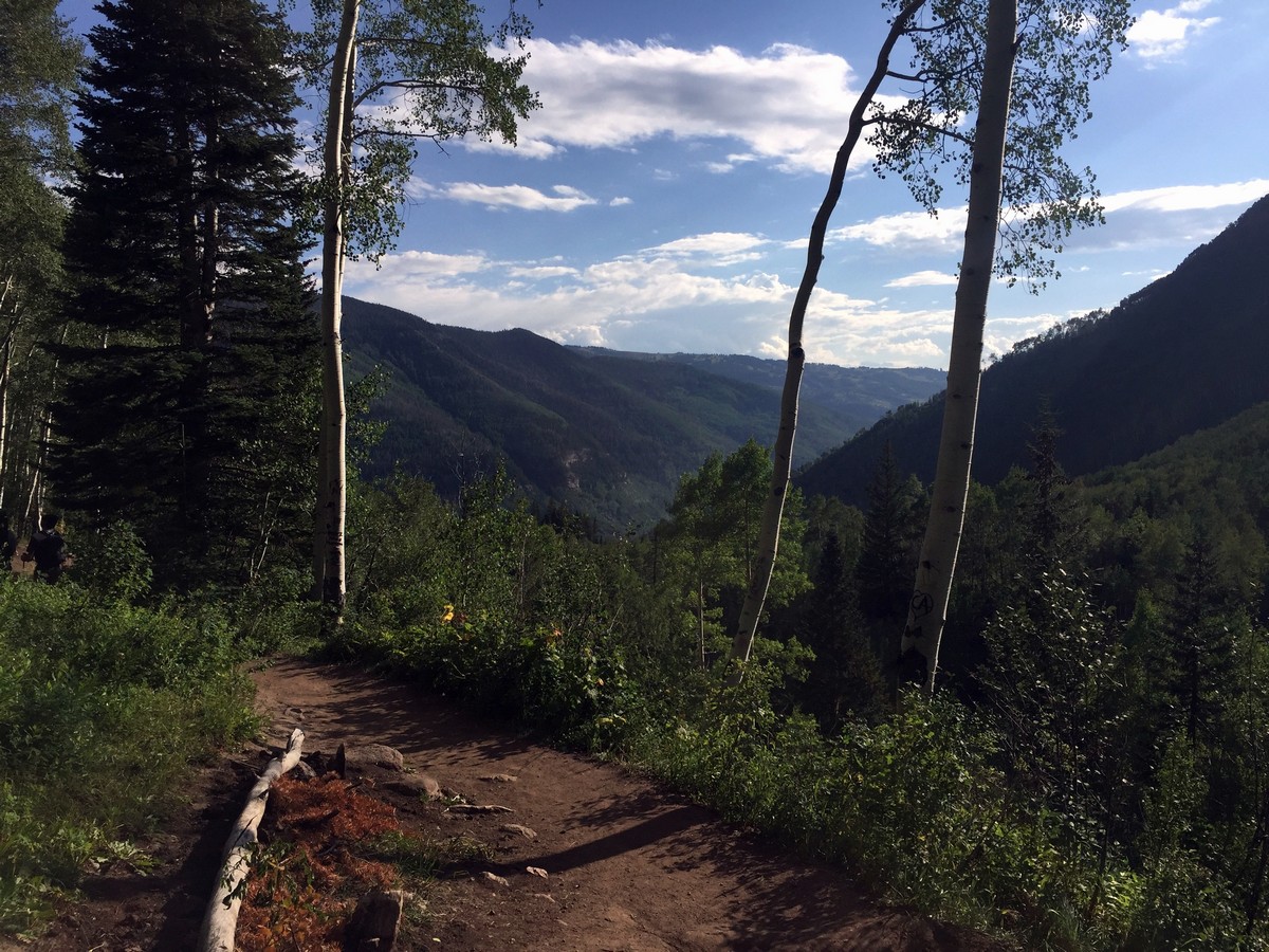
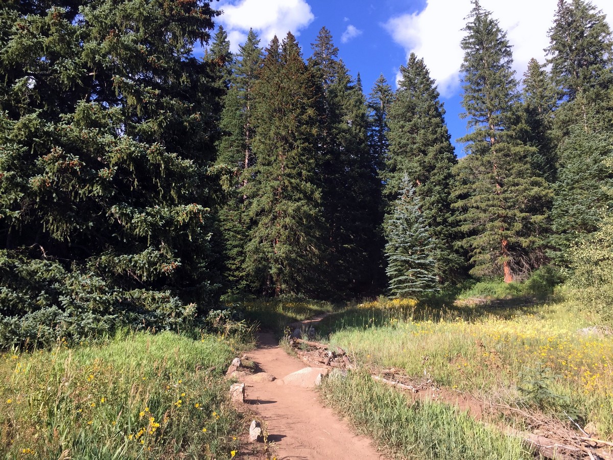
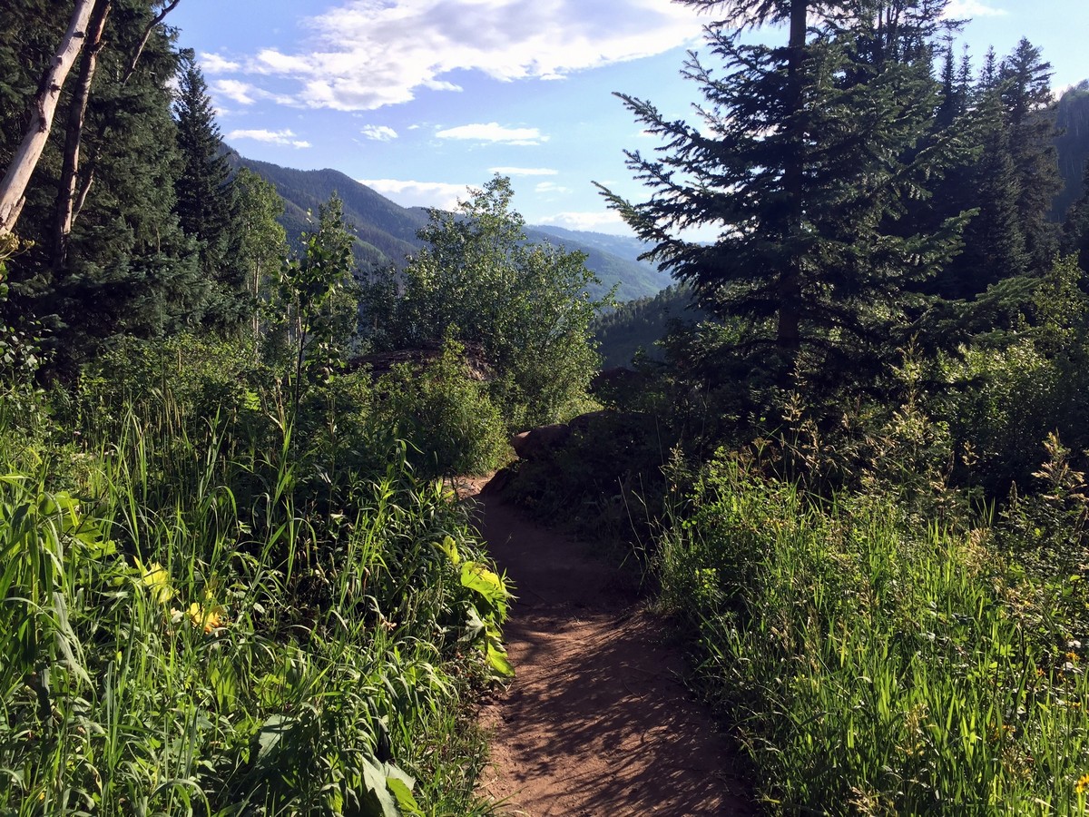
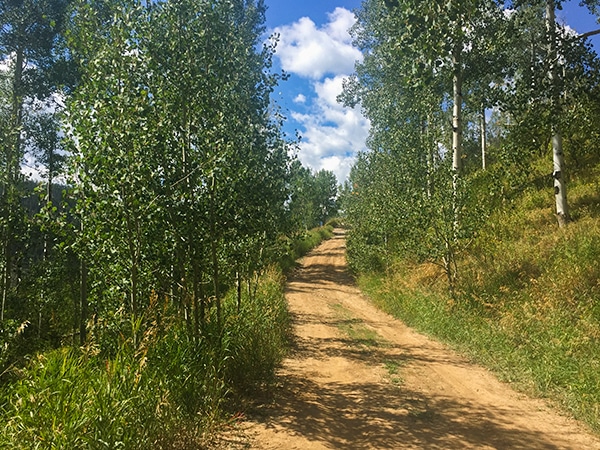
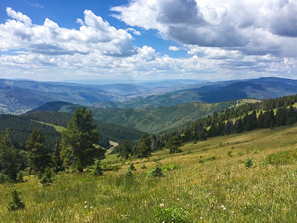
The next 0.6mi takes you up on the eastern slopes of the valley. You’ll have spectacular views of Vail Valley and the Gore Range. The trail rotates between dense shady aspen groves to open meadows for the remainder of the trail.
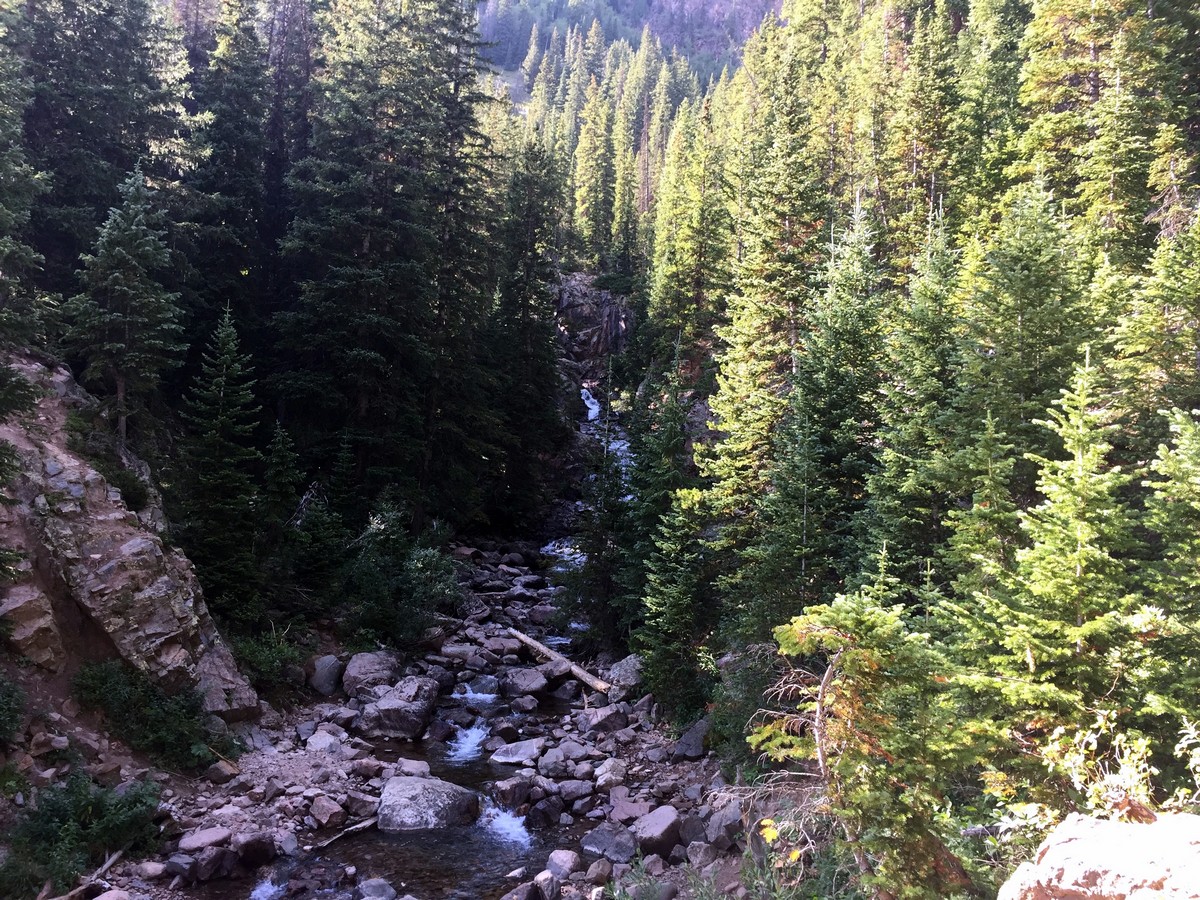
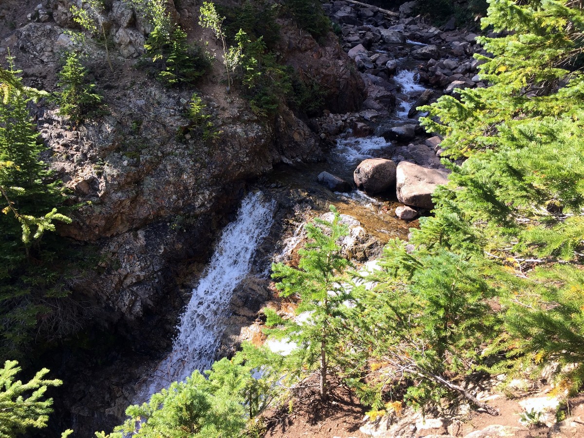
The last 0.6mi is characterized by short, fairly steep switchbacks up rocky terrain will take you to the top of the falls. The trail itself offers beautiful views of the falls from its right side and above. You’ll even be able to see the shorter, cascading waterfall above the main falls. Once you’re at the falls, be sure to hike up and look back down the valley.
Follow the same trail back through the beautiful valley to return to the trailhead!
Insider Hints
If you're looking for more of a challenge, continue past Booth Falls to Booth Lake, which sits below Booth Mountain at 12165ft, and Spider Mountain at 12694ft. Continuing to the lake will double (with some extra) the total distance and elevation of the hike, but we love it!

Similar hikes to the Booth Falls Trail hike
Davos Trail
The Davos Trail follows a dirt service road. It hikes through aspen groves and meadows of wildflowers. Looking across the…
Gore Valley Trail (East Vail)
The East Vail portion of the Gore Valley Trail takes a shared hike and bike path. You’ll pass below a…
Ridge Route
Ridge Route is a hike located on Vail Mountain, connecting Eagle’s Nest to Wildwood. The trail offers breath-taking views of…
rosevalley 4 years ago
We admire the vibrant colors of the rock formations!
London AP 4 years ago
Fantastic scenery. Love the groves and meadows.
BoulderBound 4 years ago
Awesome trail to the falls. Just the right combination of views, scenery and challenge.
jennyspencer 4 years ago
Easy hike with average trails and plesant sandstone rock formations to see.
will-perry 4 years ago
The aspen groves and open meadows along the way were really calming. The highlight of the trip was seeing Booth Falls!
mendel 4 years ago
It was a bit challenging but it was a fun experience!
Florence P. 5 years ago
This hike was amazing! The scenery in Booth Creek was absolutely fantastic.
Mary Lou 5 years ago
Amazing geology! Love the lovely wildflowers and trees along the way.
Reagan Jaz 5 years ago
The sandstone rock formations and lush forestry were noteworthy!
Ana Paige 5 years ago
I enjoyed the hiking brut is tooo farr the lake and I guess is more than 3.5 miles ....6.39 to the lake not waterfall ....beautiful up there ?