
Davos Trail hike
View Photos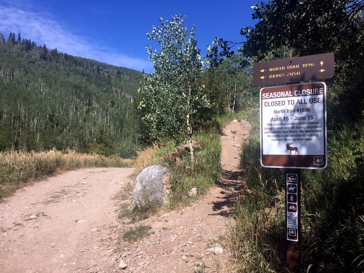
Davos Trail hike
Difficulty Rating:
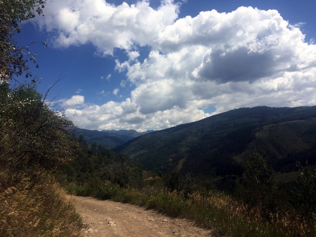
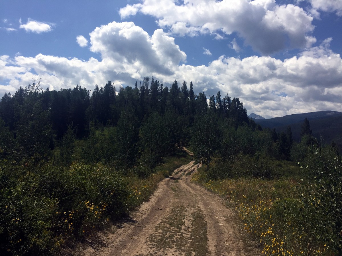
The Davos Trail follows a dirt service road. It hikes through aspen groves and meadows of wildflowers. Looking across the I-70, hikers are greeted by the peaks of the Holy Cross Wilderness.
Getting there
Take I-70 W from Vail Village to exit 173. Take 2nd exit on the roundabout for Chamonix Lane. Turn left at Chamonix Lane; that goes to Ellefson Park. Make a left onto Arosa Drive. Follow Arosa Drive to Cortina Lane. The trailhead is at the end of Cortina Lane.

About
| When to do | Spring/Summer/Fall |
| Backcountry Campsites | No |
| Toilets | No |
| Family friendly | Yes |
| Route Signage | Average |
| Crowd Levels | Moderate |
| Route Type | Out and back |
Davos Trail
Elevation Graph
Weather
Route Description for Davos Trail
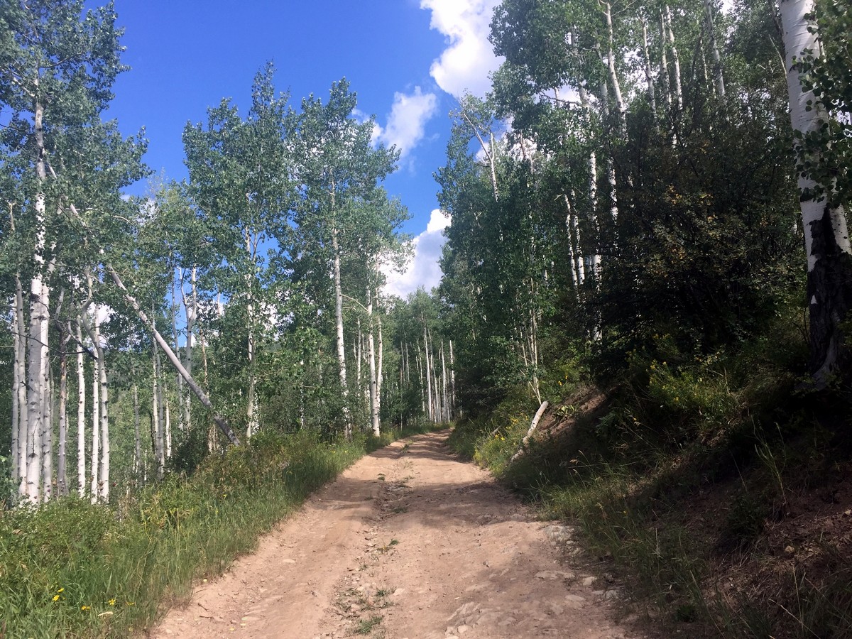
Davos Trail begins just above the parking lot on a well-marked dirt road. The first 328ft of the trail takes you uphill on a wide dirt road. At the top of the hill, you will see a sign for Davos Trail and North Trail. Continue left on the wide dirt road that heads downhill.
At the bottom of the downhill section, the trail curves to start heading uphill on the opposite side of the valley. Continue to stay on the large dirt path.
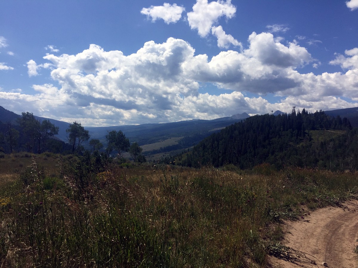
At 0.9mi in, looking over the I-70, you’ll see Meadow Mountain, which is an Elk calving area in the springtime.
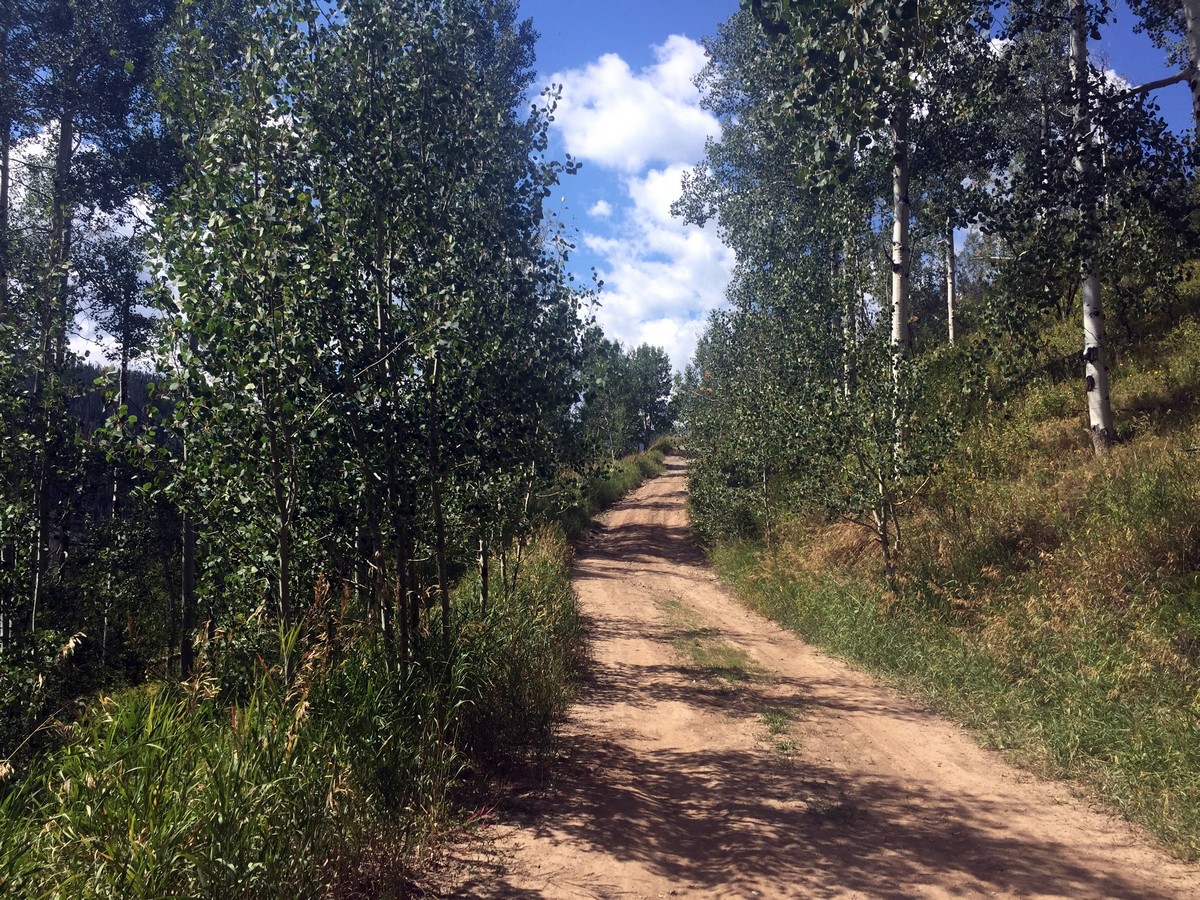
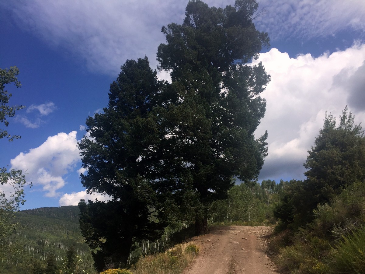
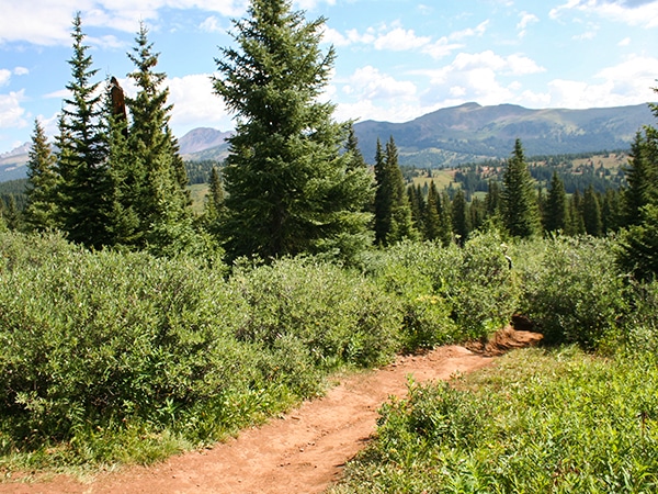
The trail turns back slightly as you head into the next valley. At 1.2mi in, Aspen stands will cover both sides of the route. As the route starts to level out, the Aspen stands will change to Pine, offering a pleasant shade.
The trail then takes you to the back of the valley where it turns again to climb the opposite side at a slight uphill.
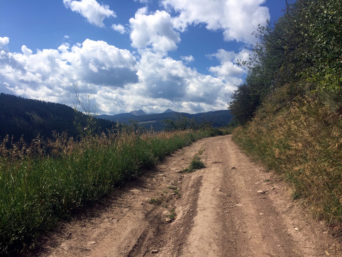
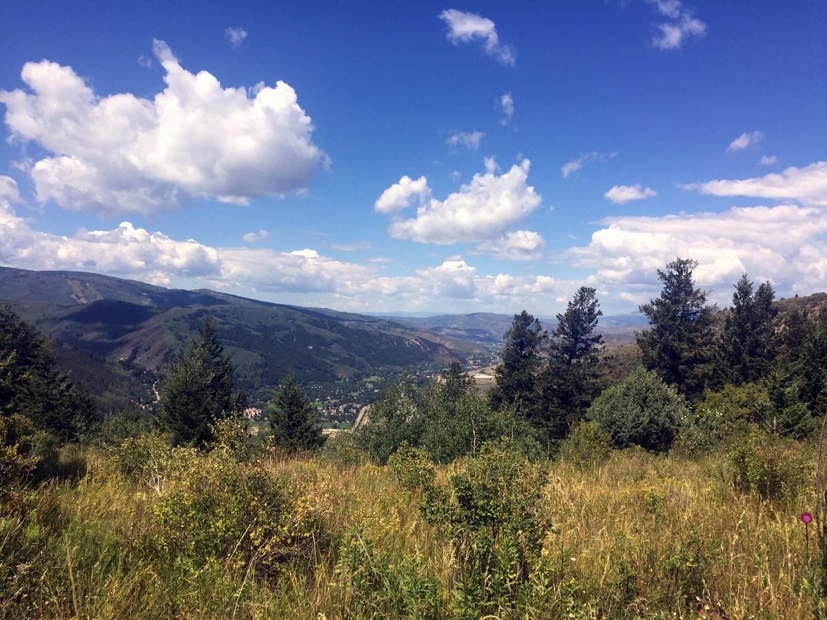
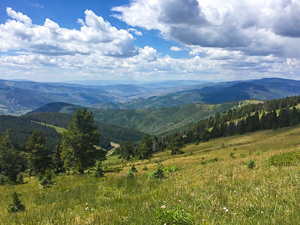
At 2.4mi in, the trail starts to head downhill with Vail Valley coming into view. The remainder of the hike offers phenomenal views of the Gore Mountain Range on your left, and then you have Eagles Nest Wilderness Area on your right. 2.5mi in is a great place to stop to enjoy this scenery. The trail does continue for another 984ft uphill to an electrical tower.
The route back is the same on you came in on.
Insider Hints
Meadow Mountain, the mountain located across the I-70 from the Davos Trail, is closed for elk calving during the springtime. Bring binoculars to try and catch a glimpse!
Yellow Belly Chicken, located in the West Vail Mall, serves up delicious chicken sandwiches with fresh, healthy sides using non-GMO, organic, and local ingredients and is a tasty place to refuel post-hike.

Similar hikes to the Davos Trail hike
Gore Valley Trail (East Vail)
The East Vail portion of the Gore Valley Trail takes a shared hike and bike path. You’ll pass below a…
Ridge Route
Ridge Route is a hike located on Vail Mountain, connecting Eagle’s Nest to Wildwood. The trail offers breath-taking views of…
Shrine Ridge Trail
Shrine Ridge Trail gradually hikes through lush pine meadows, passing two small ponds, to Shrine Ridge. The Shrine Ridge leads…
Adamcox 4 years ago
Great spot to get away to for a picnic and calming moment.
BoulderBound 4 years ago
Beautiful wildflowers. Great views. Good trail condition.
Reagan Jaz 4 years ago
There are pleasant views around every bend.
jennyspencer 4 years ago
It was a good hike. Met nice hikers along the way.
Mary Lou 5 years ago
Perfect for short walks and wildlife spottting. Saw a falcon flying gracefully. Such a lovely creature!
Eugene L 5 years ago
The journey was short but memorable. Nature is always a wonderful sight to see.
Rowlingballz 5 years ago
Sir Davos! haha. Cool hike, short but has a lot to offer.
Tim Charlton 5 years ago
Good hike. There was a lot of things to explore in only 3 hours. A really good place to take your kids.
ddiana 5 years ago
we saw some wild animals and birds on this trail and kids loved it
Ramiro G. 5 years ago
A bit wilder than some other trails and less busy but worth doing since it gives some nice views and elks are very common