
Ridge Route hike
View Photos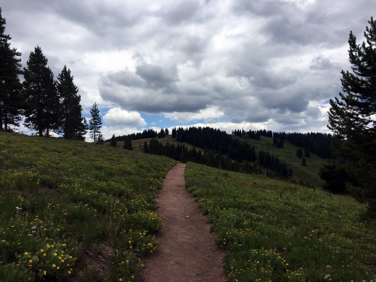
Ridge Route hike
Difficulty Rating:
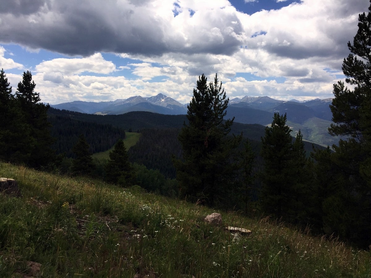
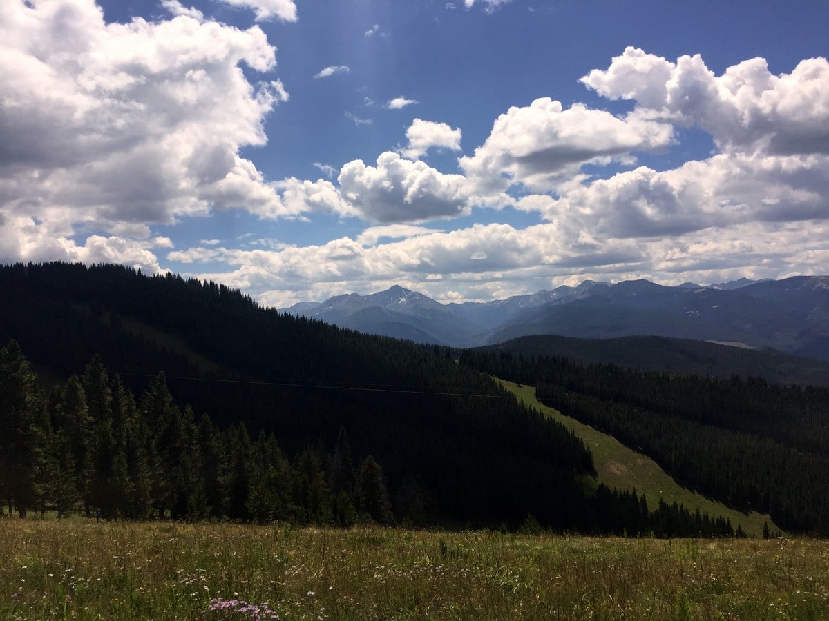
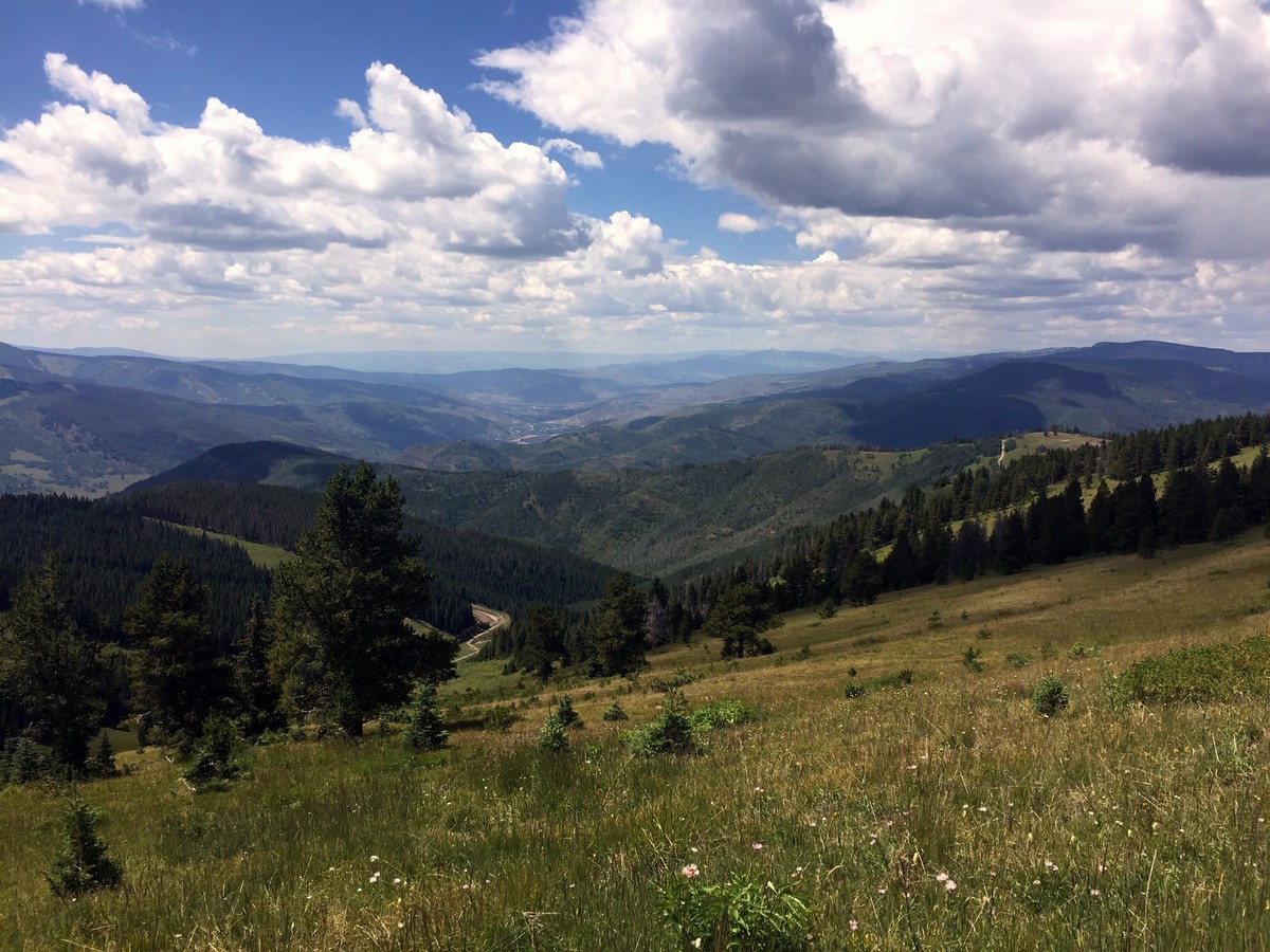
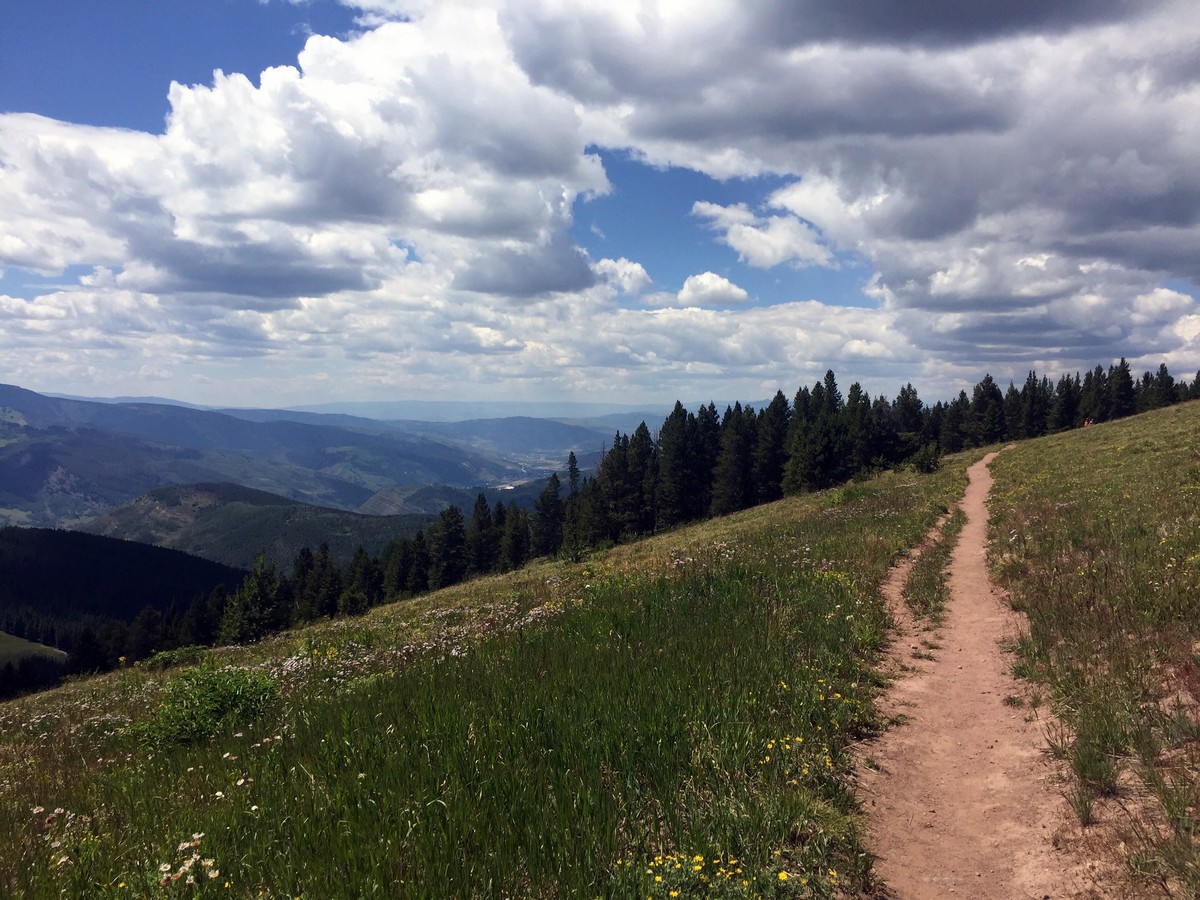
Ridge Route is a hike located on Vail Mountain, connecting Eagle’s Nest to Wildwood. The trail offers breath-taking views of the Holy Cross Wilderness south of Vail. The impressive Mount of the Holy Cross, at 14009ft tall, is visible from Ridge Route.
Getting there
Take the Eagle Bahn Gondola in Lionshead Village to Eagle’s Nest. The trail starts at Eagle’s Nest.

About
| When to do | Spring/Summer/Fall |
| Backcountry Campsites | No |
| Toilets | Yes, at Eagles Nest and Wildwood |
| Family friendly | Yes |
| Route Signage | Average |
| Crowd Levels | High |
| Route Type | Out and back |
Ridge Route
Elevation Graph
Weather
Route Description for Ridge Route
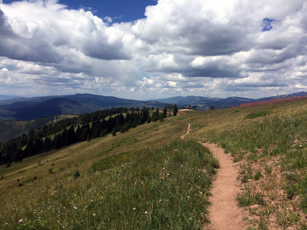
Ridge Route is a beautiful, well-marked, short hike that begins at Eagle’s Nest at 10350ft! The hike starts straight up the small dirt hill from the Eagle Bahn Gondola exit. Walk towards the hill, to the left of the Holy Cross Wilderness Viewing area platform, and you will see a sign marking the start of the Ridge Route trail.
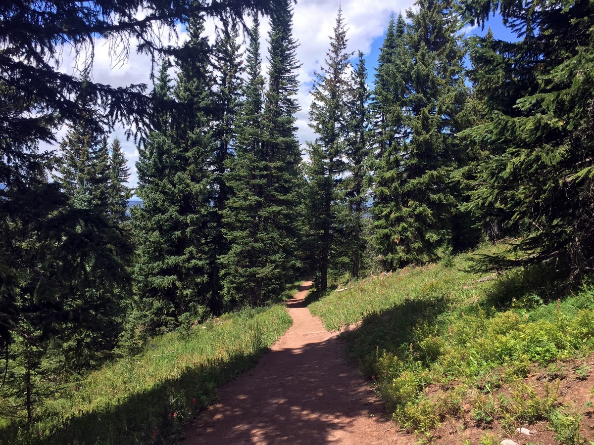
Go straight past the first sign, following the dirt road, until you get to another trail sign that leads you to the right onto a single-track trail. From here, the trail is very well marked, with signs signifying Ridge Route’s trail very frequently.
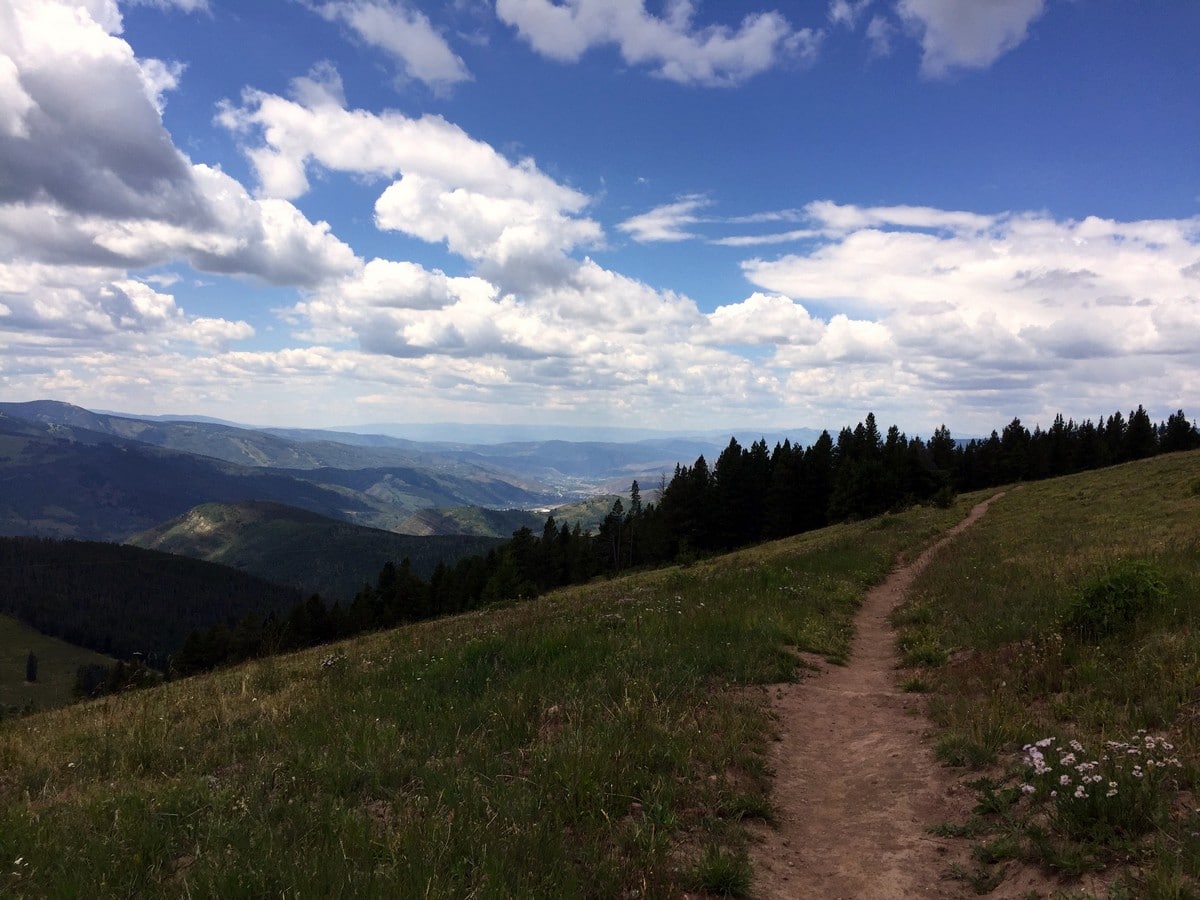
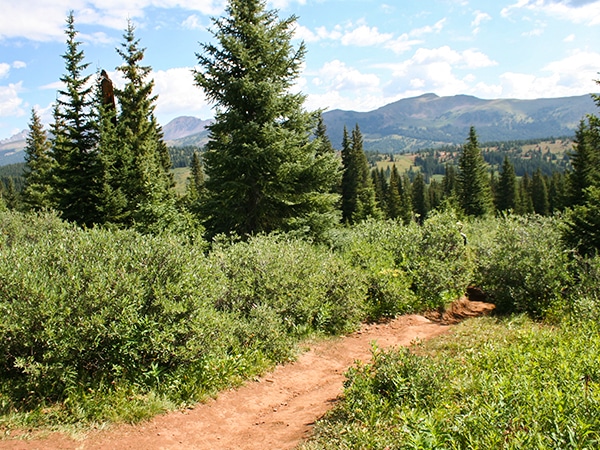
The trail heads slightly up-hill, taking you along the side of Vail mountain. You’ll get some truly spectacular views of Mount of the Holy Cross. You will walk through open meadows with spread out pine stands as some of the best views in Vail are sprawled out all around you.
Insider Hints
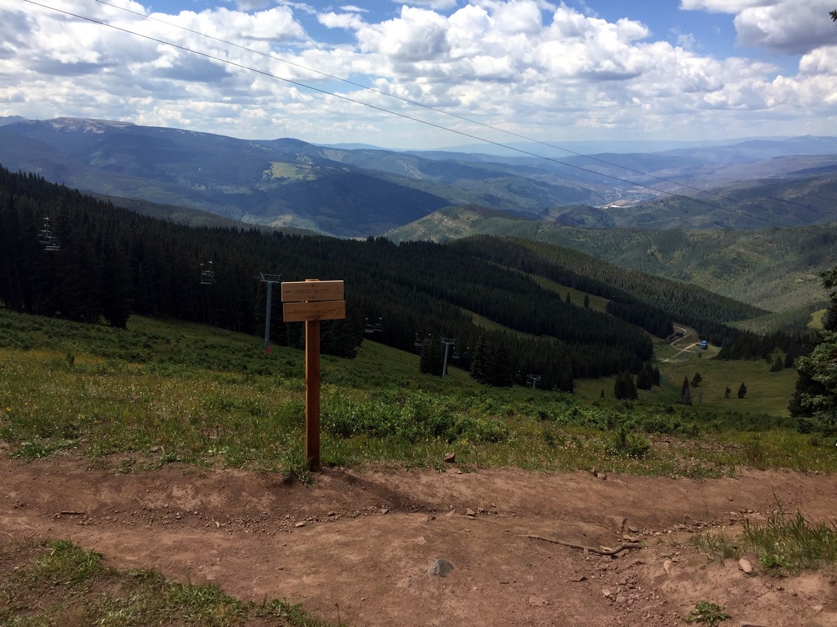
Ridge Route connects to the Ptarmigan Loop at the top of Vail Mountain and offers more time to take in the beautiful views of the Holy Cross Wilderness.
Check out Gondola times on the Vail Website.

Similar hikes to the Ridge Route hike
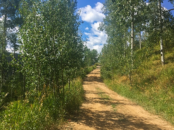
Davos Trail
The Davos Trail follows a dirt service road. It hikes through aspen groves and meadows of wildflowers. Looking across the…
Gore Valley Trail (East Vail)
The East Vail portion of the Gore Valley Trail takes a shared hike and bike path. You’ll pass below a…
Shrine Ridge Trail
Shrine Ridge Trail gradually hikes through lush pine meadows, passing two small ponds, to Shrine Ridge. The Shrine Ridge leads…
Lawrence Rossiter 4 years ago
So easy to follow. Being up here made me miss ski season!
marysmith 4 years ago
We enjoyed the views! It seems like a perfect destination shoot for couples!
rosevalley 4 years ago
It is our favorite hike in Vail. We went here many times, but it's the best during the spring.
Adamcox 4 years ago
Gorgeous views and great hiking trails.
CandyJ 4 years ago
We truly appreciate how well-marked the route was.
jennyspencer 4 years ago
Perfect little heaven!
Mary Lou 4 years ago
Ridge Route is breathtaking. There are plenty of picturesque views along the way.
mendel 4 years ago
No words can describe how beautiful and calming this place is despite the fact that there are lot of other hikers around.
Florence P. 4 years ago
Great views at the alpine forest! Wonderful improvements since the last time I visited.
Xyla O. 5 years ago
Superb views and easy trail. Perfect hiking place for someone who loves being surrounded by trees. This hike gives off a tranquilizing vibe.