
Shrine Ridge Trail hike
View Photos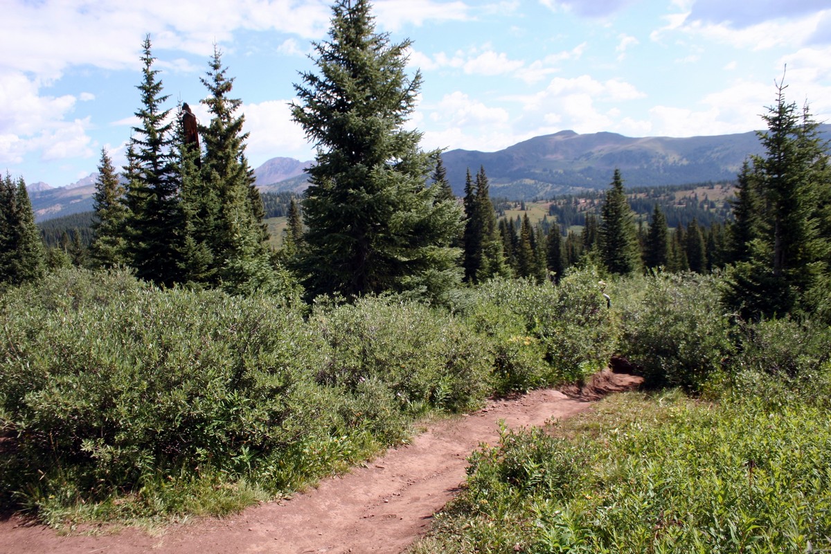
Shrine Ridge Trail hike
Difficulty Rating:
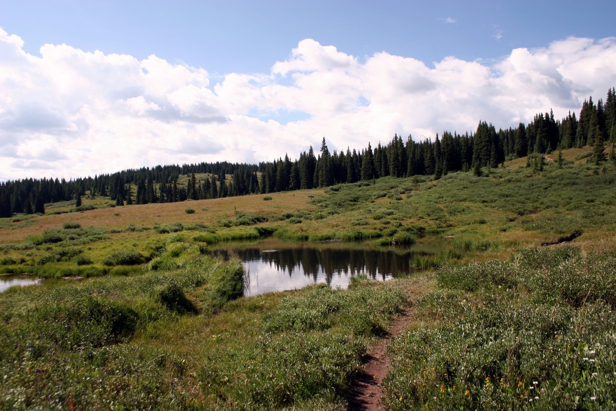
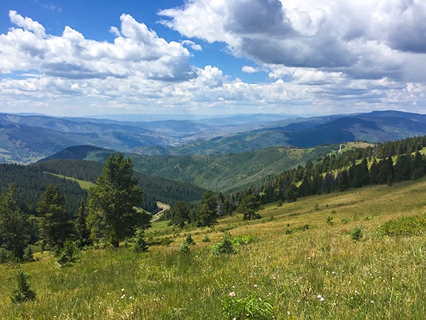
Shrine Ridge Trail gradually hikes through lush pine meadows, passing two small ponds, to Shrine Ridge. The Shrine Ridge leads to the top of Shrine Mountain (elevation 11745ft). You’ll get incredible views, considering it’s such a short hike.
Getting there
From Vail Village, take the I-70 E to Exit 190. Turn right and follow the signs directly ahead for Shrine Pass Road (Forest Service Road 709). Follow for 2.2mi to a parking lot on the left. The trailhead is left of the metal fence at the end of the gravel driveway.

About
| When to do | Summer/Fall |
| Backcountry Campsites | Yes, on Shrine Pass Rd going to trailhead |
| Toilets | Yes, at the trailhead |
| Family friendly | Yes |
| Route Signage | None |
| Crowd Levels | High |
| Route Type | Out and back |
Shrine Ridge Trail
Elevation Graph
Weather
Route Description for Shrine Ridge Trail
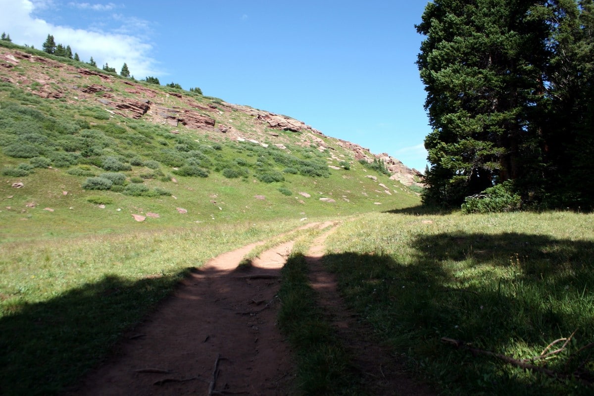
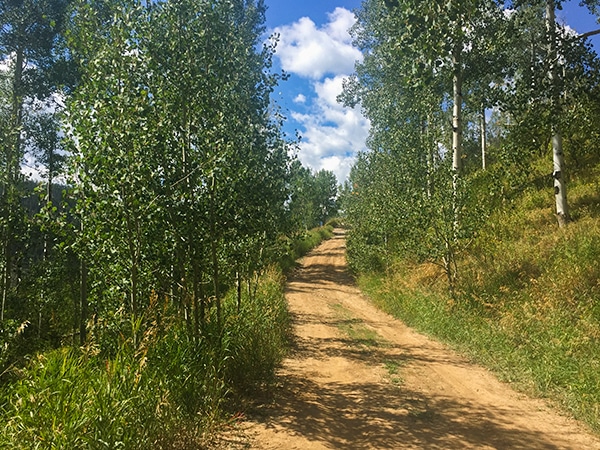
Follow the gravel driveway leading towards Shrine Mountain Inn and the pine forest surrounding it. The trail begins to the left—before you get deep into the woods. Immediately, sweeping views of the meadows/valley below spill out before you.
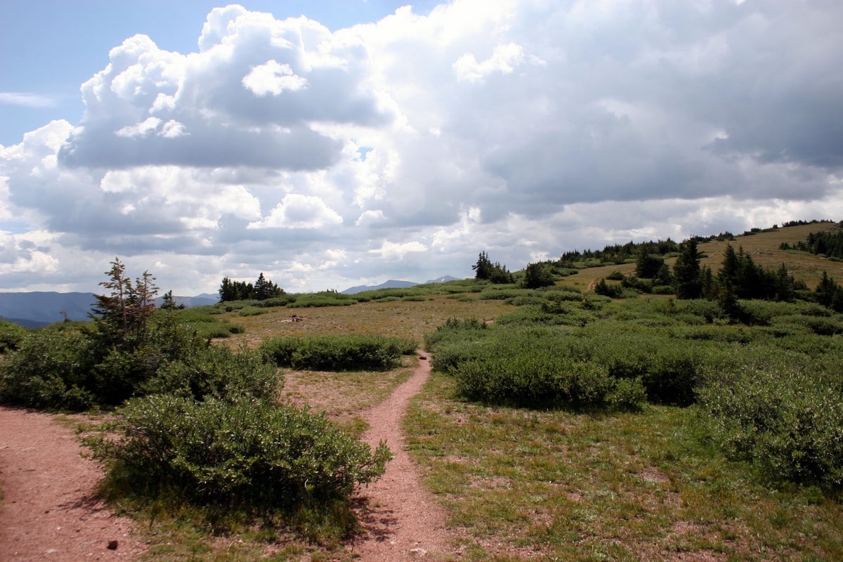
Follow the trail slightly downhill for 0.4mi until you reach the two ponds. From here, the trail slowly heads up to the right, towards the ridge, gaining elevation.
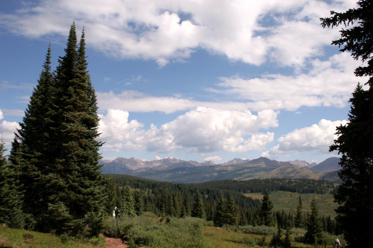
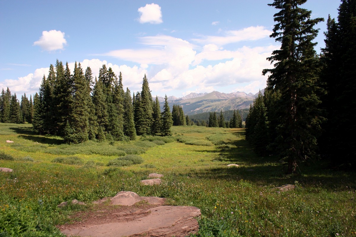
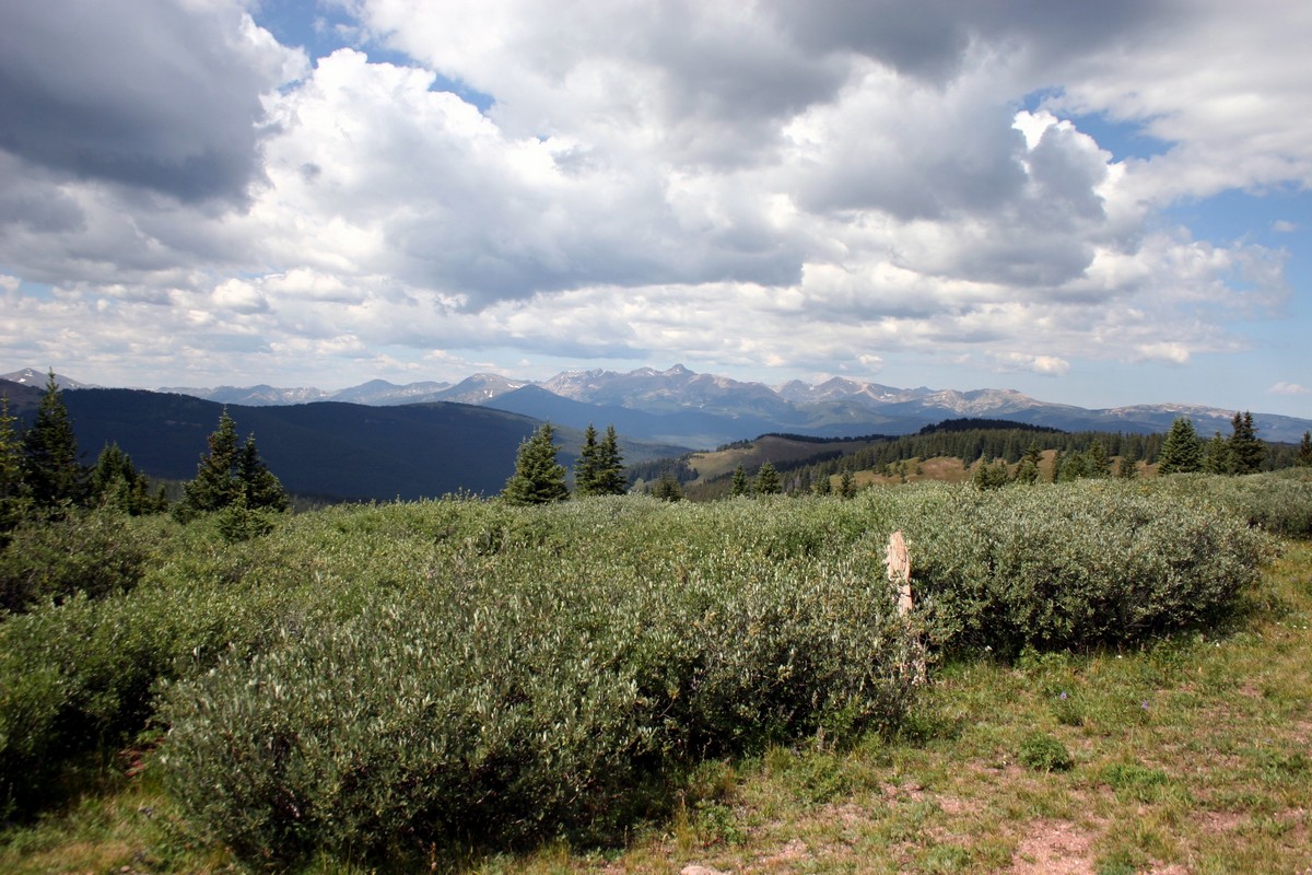
The trail winds through tranquil pine meadows and past small creeks. You’ll get incredible views of the surrounding backcountry. During wildflower season, the meadows along Shrine Ridge are a delightful sea of colors.
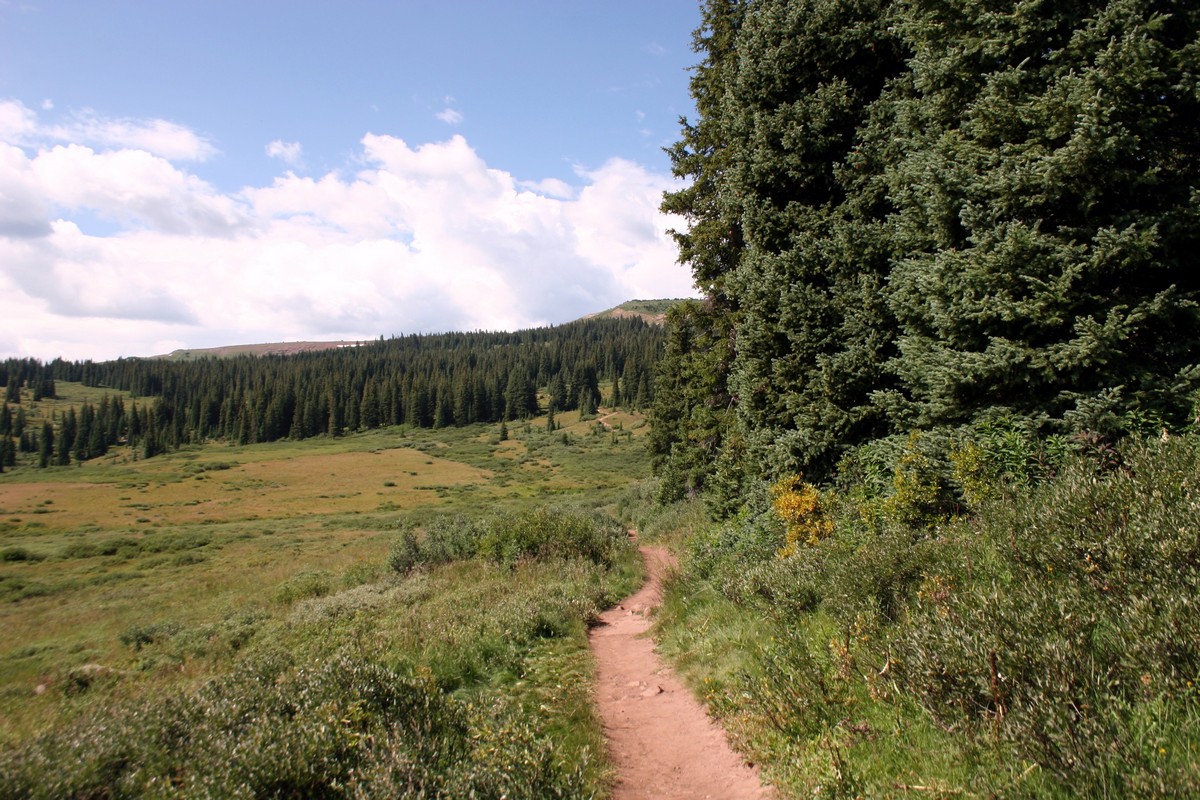
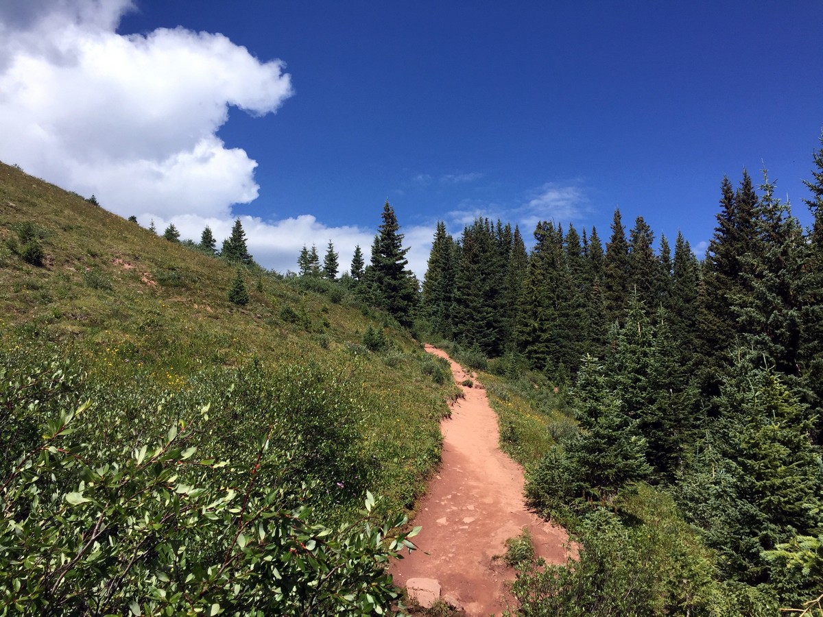
1.3mi in, the trail turns into an open field with the ridge standing tall on your left. Continue along the trail as you walk parallel to the ridge. Eventually, you’ll start along a gentle path that climbs to the top of Shrine Ridge.
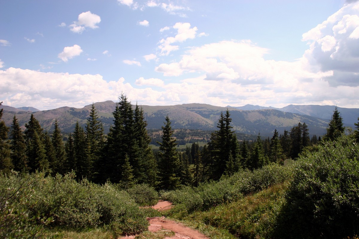
Shrine Mountain is the peak directly to your right (if facing south/the Sawatch Range). The trail traverses the ridge offering beautiful views of the surrounding ranges/peaks.
Once you’re done exploring the ridge, follow the trail back through the pine meadows you walked up through to finish your hike!
Insider Hints
Shrine Mountain was named for its stunning view of the Mt. of the Holy Cross.
Originally, the pass was used by Ute Indians, but later became a popular route for silver miners.
A highly recommended campsite is roughly 0.6mi from the trailhead on the right-hand side of the road. Go to sleep and wake up with stunning views of the Gore Range.

Similar hikes to the Shrine Ridge Trail hike
Davos Trail
The Davos Trail follows a dirt service road. It hikes through aspen groves and meadows of wildflowers. Looking across the…
Gore Valley Trail (East Vail)
The East Vail portion of the Gore Valley Trail takes a shared hike and bike path. You’ll pass below a…
Ridge Route
Ridge Route is a hike located on Vail Mountain, connecting Eagle’s Nest to Wildwood. The trail offers breath-taking views of…
Adamcox 4 years ago
Definitely a must see place to visit. Have fun and enjoy!
onoyuki 5 years ago
It was a nice hike. The air was fresh and lots of shades to rest too.
Eugene L 5 years ago
I was delighted to visit this place and see wonderful views.
Lola M. 5 years ago
Amazing and relatively easy hike. Astonishing views from the summit. There were some snow and mud on the trail but manageable with proper footwear.
lelandi 5 years ago
The view from the top was spectacular. It's impressive despite the elevation gain is minimal.
Jeff Axe 5 years ago
This hike is immaculate. The meadows, lush greeneries, and mountain views were nice too.
Xyla O. 5 years ago
It was a fantastic hike with amazing views. It is an especially good trail for hikers looking for a good adventure. I would definitely recommend it.
Maggie Q. 5 years ago
Great place to visit with family. Did this hike with my husband, and we both agreed that we will return here someday with our future child.
Sofia L. 5 years ago
Easy to follow trail. The views over the ridge looking towards the Gore Range is marvelous. A bit steep at the top, but worth it.
Dana Glob 5 years ago
Ponds, meadows, forests and an amazing walk. a really good hike in Vail