
Pitkin Lake Trail hike
View Photos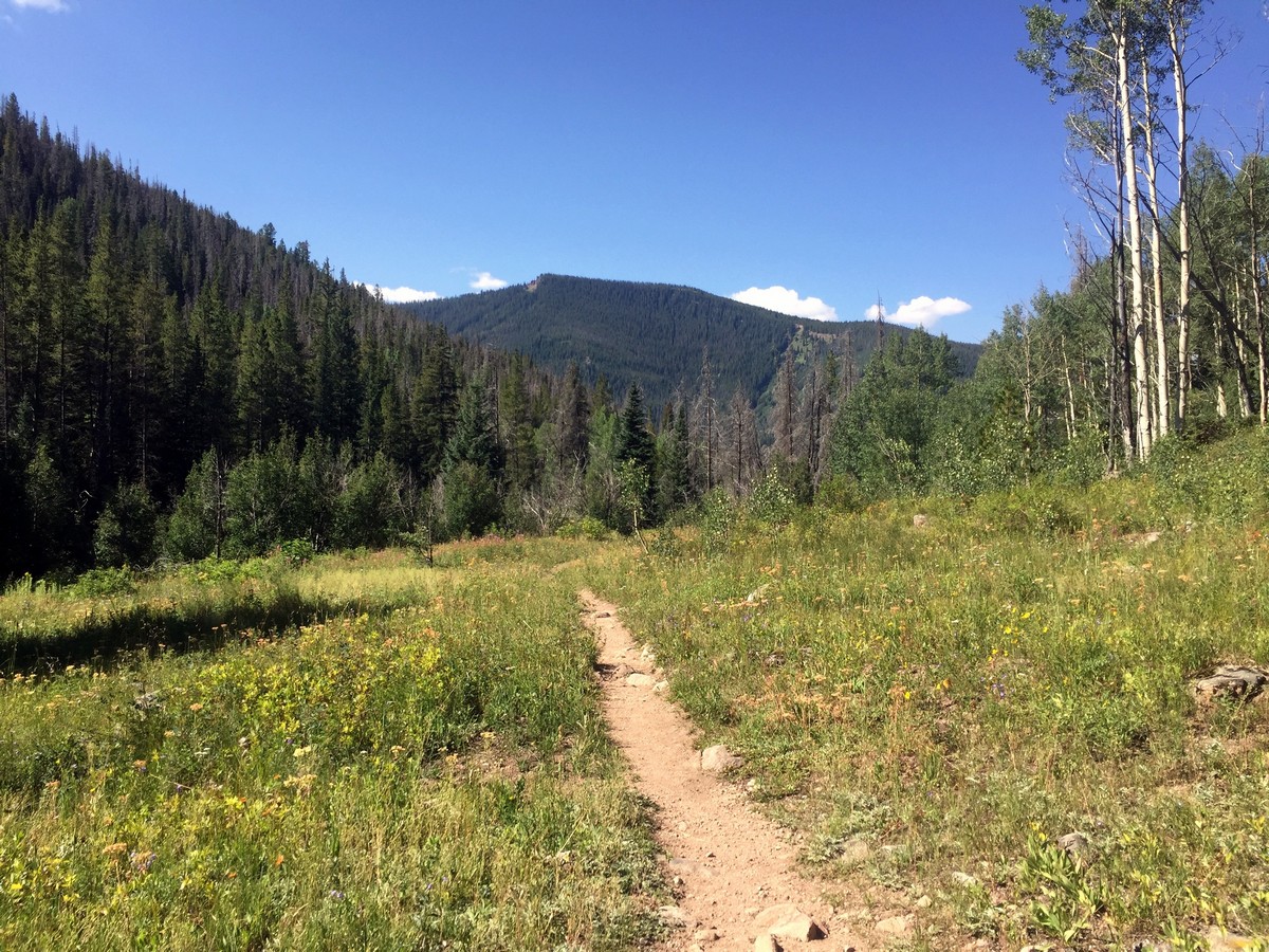
Pitkin Lake Trail hike
Difficulty Rating:
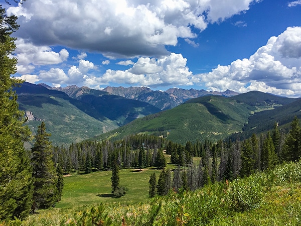
Pitkin Lake Trail makes for an adventure-filled day hike. The gorgeous trail starts off steep, but it quickly (after roughly 1.0mi) levels out. Gradually, the trail ascends the valley, past two waterfalls, to the stunning lake that sits below East and West Partner (two 12992ft peaks).
Getting there
Take the I-70 E from Vail. Use right two lanes to take exit 180. Turn left onto Big Horn Rd.

About
| When to do | Summer/Fall |
| Backcountry Campsites | Yes, in Eagle's Nest Wilderness |
| Toilets | No |
| Family friendly | No |
| Route Signage | Average |
| Crowd Levels | High |
| Route Type | Out and back |
Pitkin Lake Trail
Elevation Graph
Weather
Route Description for Pitkin Lake Trail
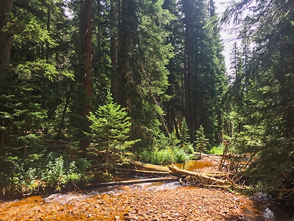
The trail begins adjacent to the trailhead message board. You’ll follow Pitkin Creek for a couple hundred meters through dense foliage. Quickly, you’ll cross a large bridge as Pitkin creeks rushes below.
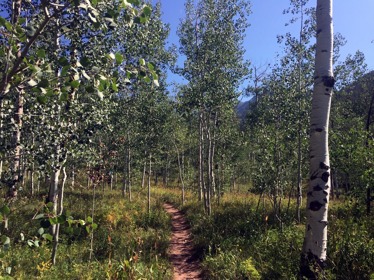
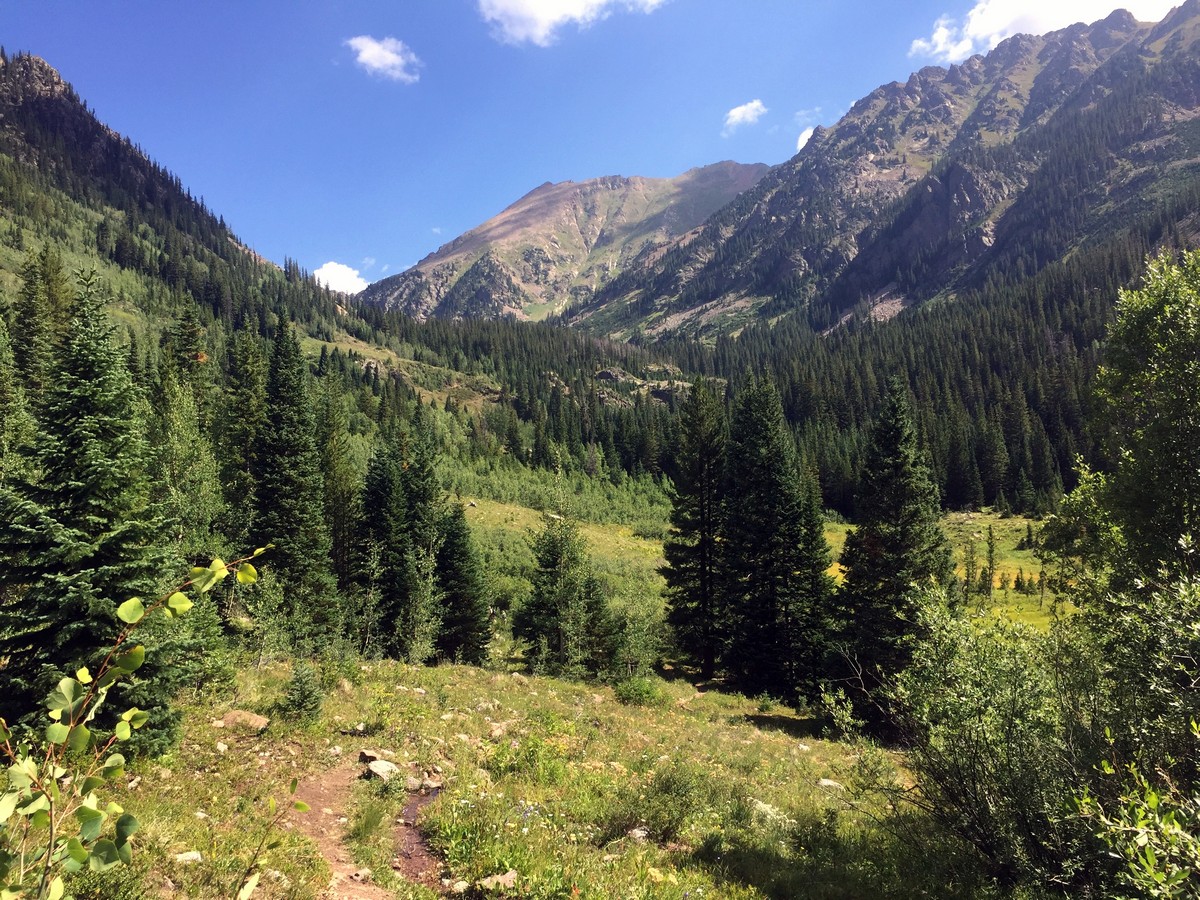
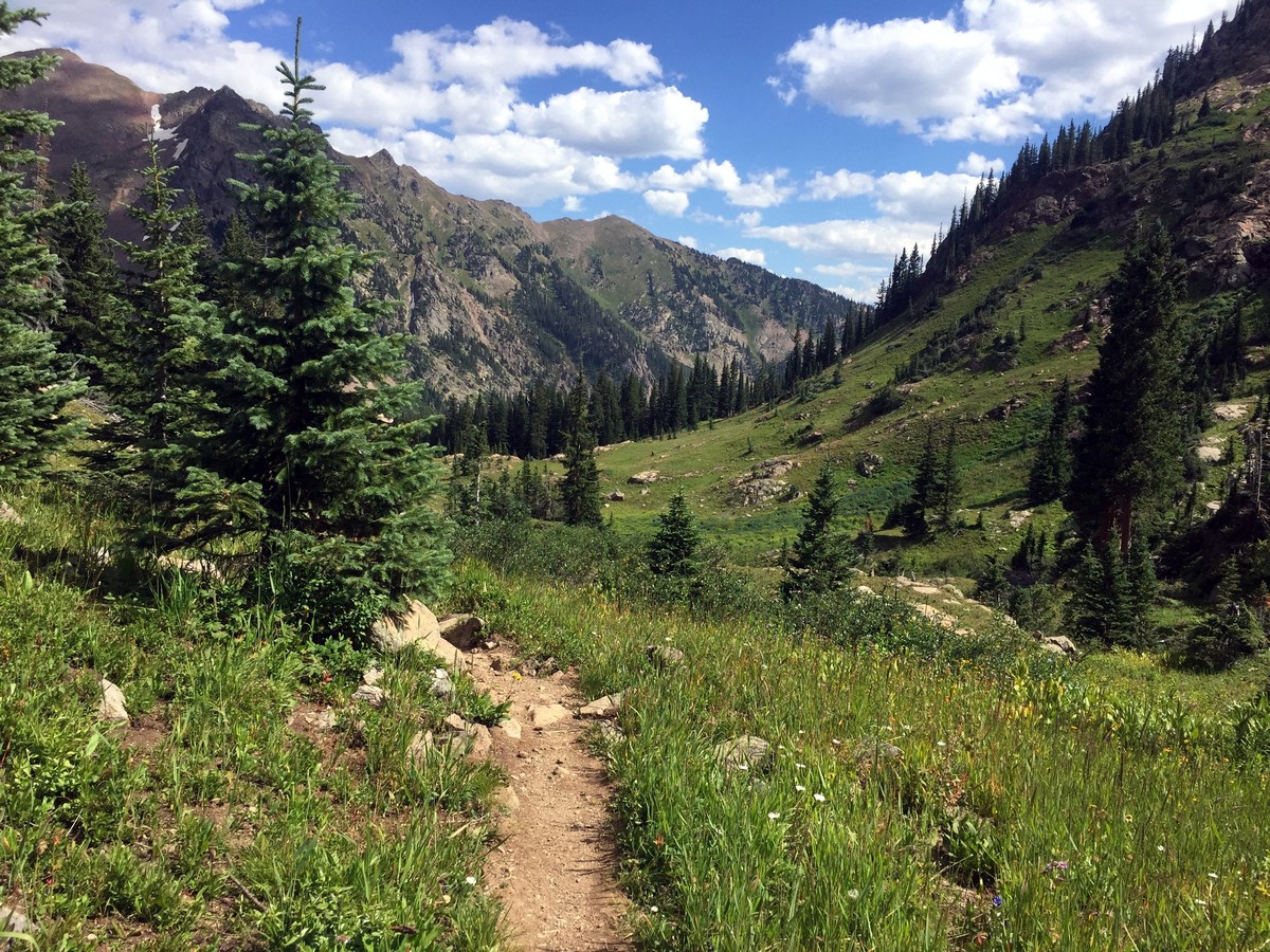
After crossing the bridge, the trail steeply ascends for 0.2mi gaining 184ft of elevation, taking you to the Eagles Nest Wilderness Area sign. After passing the sign, the trail continues to strenuously climb for another kilometer before leveling out. The trail plateaus to a disperse aspen forest, offering shade to cool you off after the steep ascent.
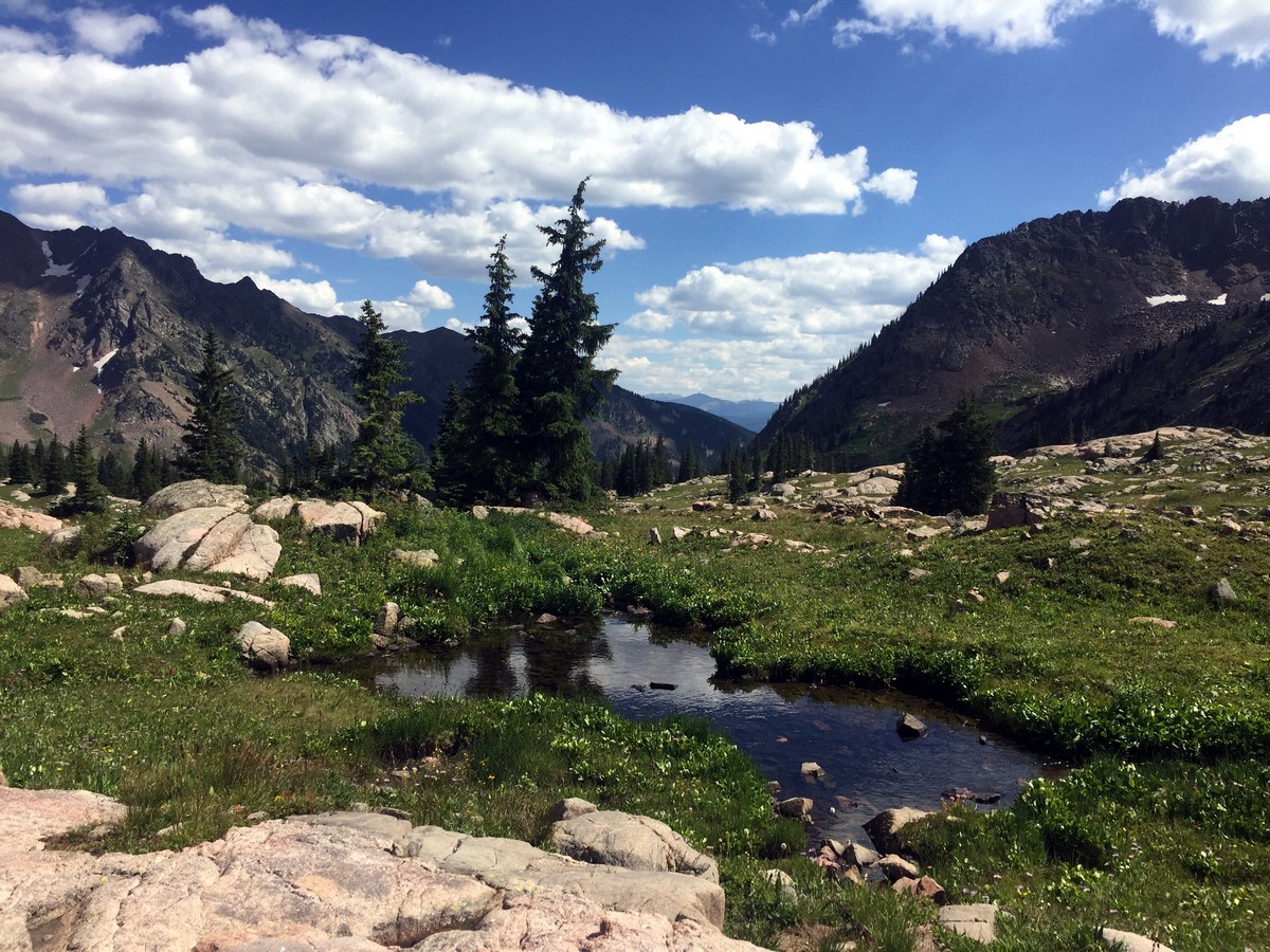
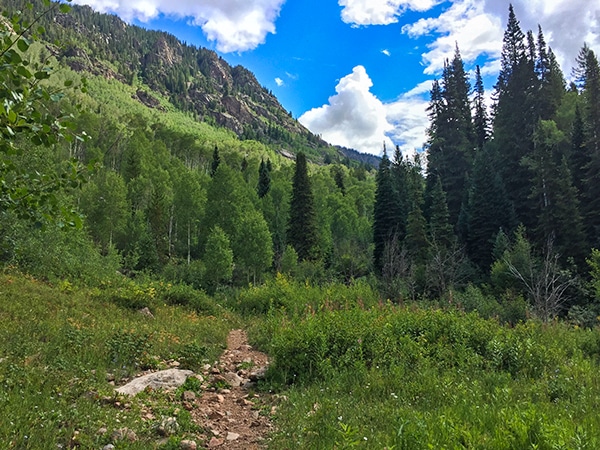
After the trail levels out, around 1.2mi in, the trail opens up to a steep hillside scattered with pines, aspens, spruces, and firs. The Gore Range comes into view, sitting picturesquely at the back of the valley. The trail also passes a series of moraines (rock/sediment piles left from glacial retreats), which are always fascinating. Continue for another 656ft and you will reach the creek, rushing on your right.
1.9mi in, the trail becomes heavily forested; however, it soon opens up to a beautiful meadow with even better views of the Gore Range.
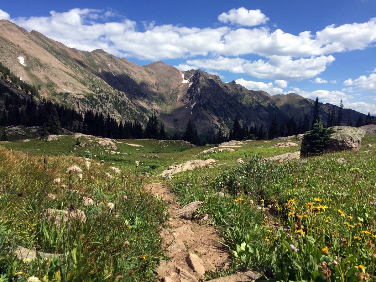
After a series of small switchbacks, at 2.5mi, look out towards the east to see the first of two waterfalls along Pitkin Creek.
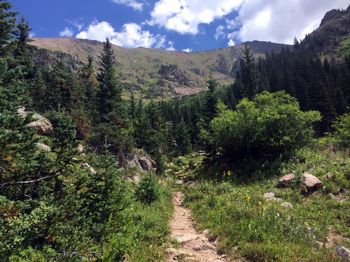
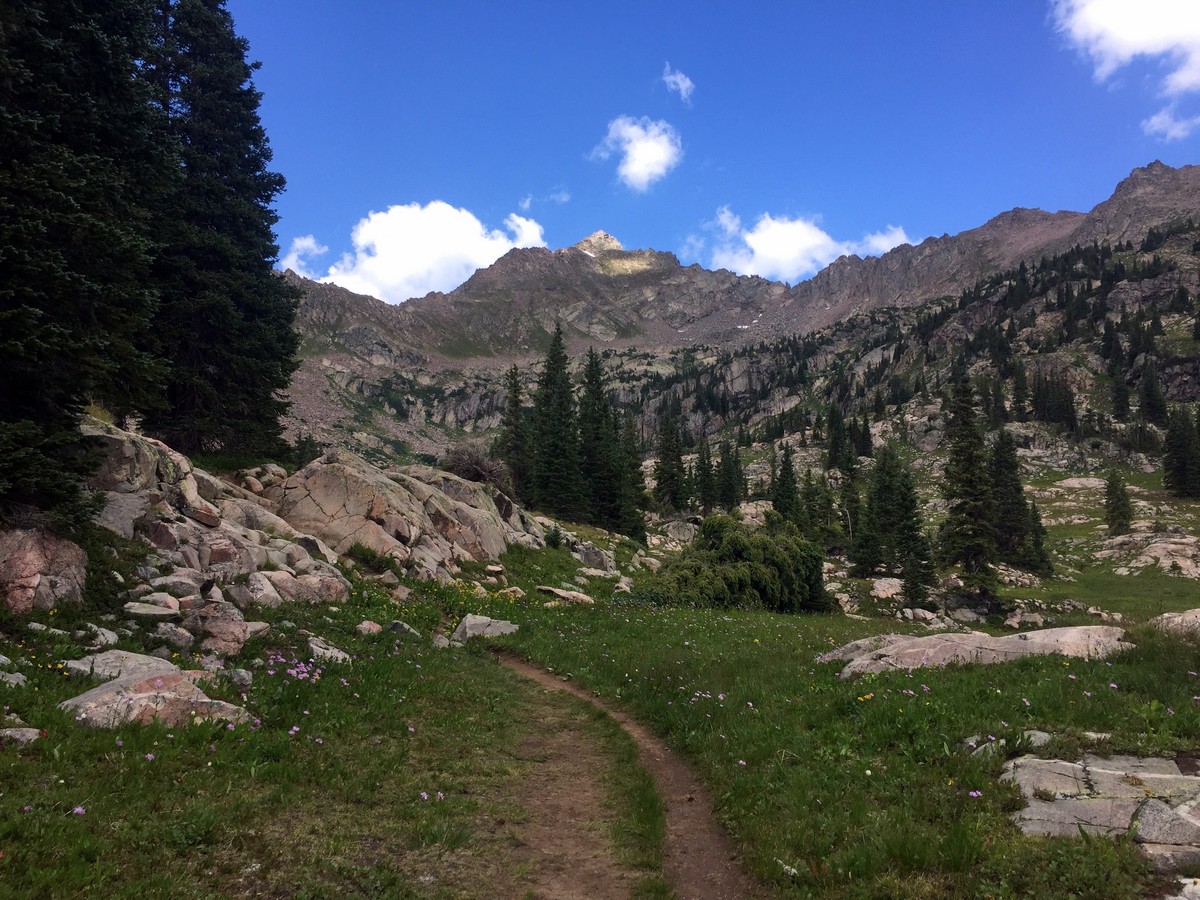
At 2.8mi, just past the small creek crossing, continue left on the trail towards the western side of the trail. Follow the well-distinguished trail as it meanders onto the western slopes of the valley. From here, the trail begins to steeply ascend towards the alpine tundra where Pitkin Lake resides.
At 3.5mi, while passing through a meadow flush with creeks, a cascading waterfall will be on your left.
After enjoying the waterfall, leave the valley of meadows and hike up another steep section of the trail. The trail takes you to another high alpine meadow filled with pine trees and numerous small creek crossings. For the remaining 1.2mi, the hike takes you through similar terrain slowly curving around to the final destination: Pitkin Lake.
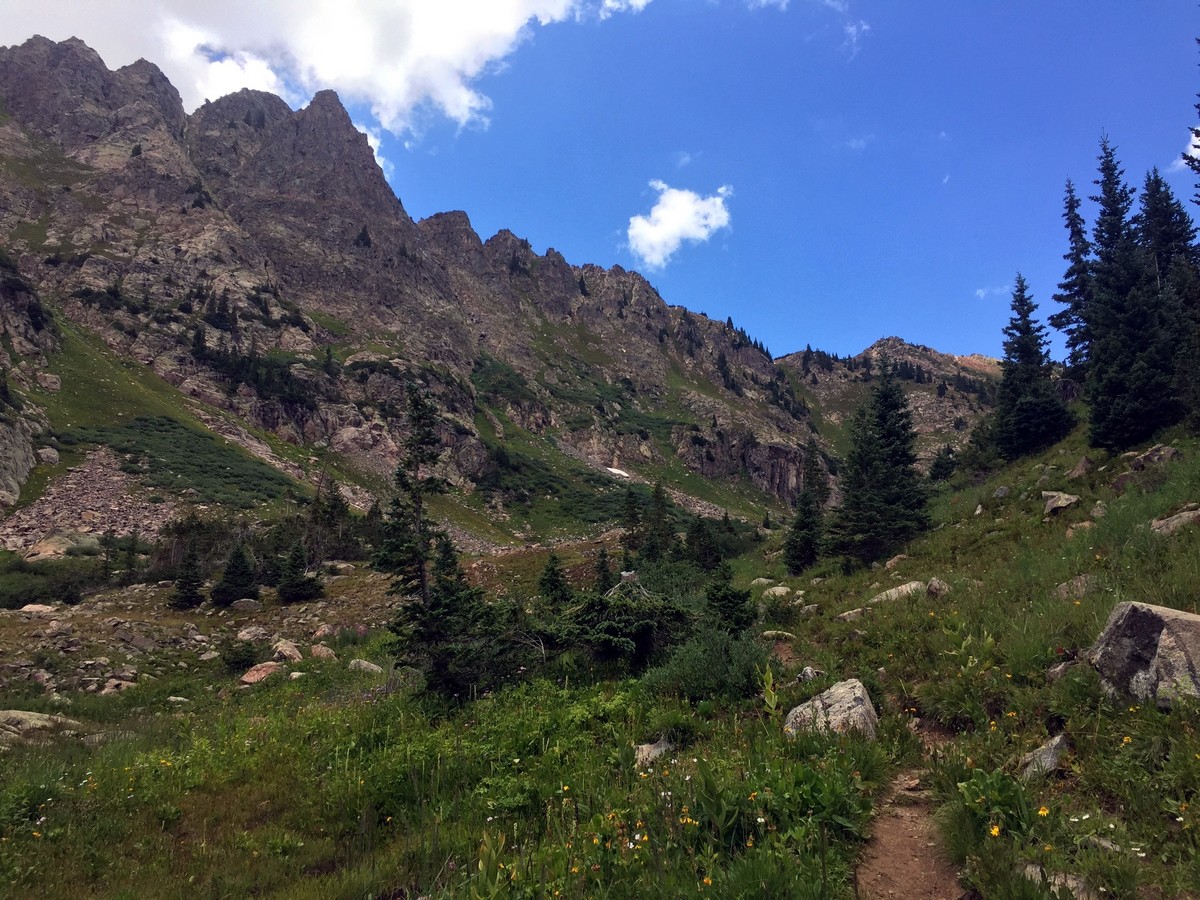
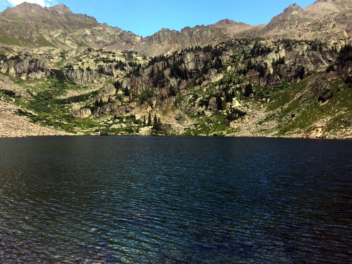
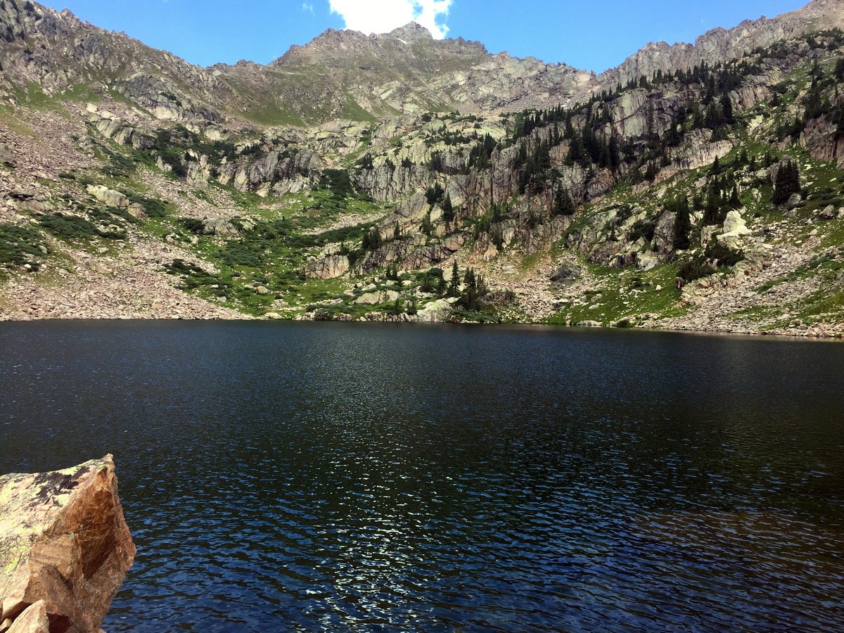
Pitkin Lake sits around 5.0mi in, dramatically surrounded by tall, gray granite walls and alpine tundra. East and West Partner, at 13048ft, reside above the lake.
After enjoying your well-earned time at the lake, follow the same trail back, through Pitkin Creek drainage, to finish your hike!
Insider Hints
There is a 3ft-tall man-made waterfall located on Pitkin Creek 82ft past the trailhead information board. It the perfect place for a quick dip to refresh you after the long hike.

Similar hikes to the Pitkin Lake Trail hike
Berrypicker Trail
Berrypicker Trail hikes up Vail Mountain to Eagle’s Nest from Lionshead Village. The trail steeply winds through meadows of wildflowers…
Bighorn Creek Trail
Bighorn Creek Trail is a diverse hike that takes you through a variety of trees, and meadows of wildflowers. There…
Gore Lake Trail
Gore Lake Trail is a full-day hike to the beautiful, alpine lake. The trail winds through aspen groves, meadows, and…
rosevalley 4 years ago
The climb sure was strenuous, but you'll be rewarded with beautiful scenery throughout the hike!
TopherSan 4 years ago
There are lots of pleasant views to see here. We took a refreshing dip after the long hike.
CandyJ 4 years ago
The cascading waterfalls were simply majestic!
London AP 4 years ago
Nice hike to explore. Enjoyed the variety of firs, pines and aspens. They look so delightful.
will-perry 4 years ago
It gives off a nice atmosphere with lots of positive vibes. Amazing place!
Reagan Jaz 5 years ago
There are different trees and wildflower species to see along the way. Some of the shrubs can get itchy. Make sure to wear arm sleeves.
onoyuki 5 years ago
It was quite steep so prepare by stretching your legs before starting the hike.
lilibethl 5 years ago
The trail was quite steep, so be always careful. Great hike to work out your legs. Aside from the strenuous hike, this place offers beautiful views of the surroundings.
Brexit Smith 5 years ago
Nature filled surroundings that all nature lovers will love. The waterfalls were fantastic. The hike was awesome because of the great views.
lelandi 5 years ago
This was definitely moderate. had more trouble descending than climbing up.