
Bighorn Creek Trail hike
View Photos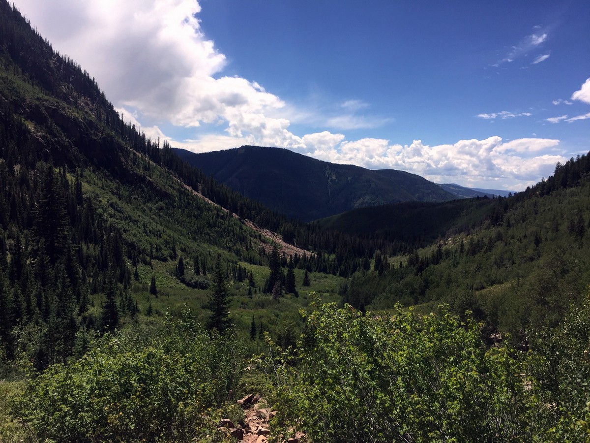
Bighorn Creek Trail hike
Difficulty Rating:
Bighorn Creek Trail is a diverse hike that takes you through a variety of trees, and meadows of wildflowers. There is even an old cabin located a mile past Bighorn Creek Falls. The trail offers views of Vail Mountain and city, and the Gore Range.
Getting there
From Vail Village take the I-70 east to East Vail, exit 180. Turn right on Bighorn Rd follow for 1.0mi. Go left on Columbine Dr. and follow the road as it passes under the I-70 and into a residential area. Parking is adjacent to the trailhead located 246ft past the tunnel.

About
| When to do | Spring/Summer/Fall |
| Backcountry Campsites | No |
| Toilets | Yes, at Eagles Nest and Wildwood |
| Family friendly | Yes |
| Route Signage | Average |
| Crowd Levels | High |
| Route Type | Out and back |
Bighorn Creek Trail
Elevation Graph
Weather
Route Description for Bighorn Creek Trail
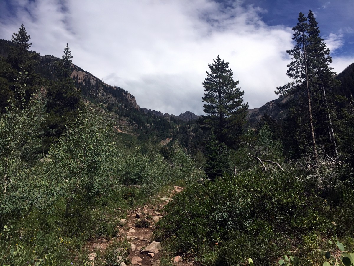
The trail starts adjacent to the National Forest message board and begins with a steep ascent for 0.6mi.
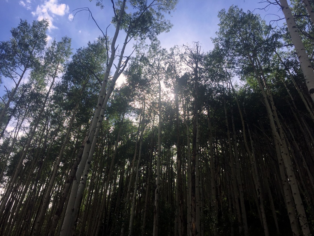
As the trail begins to plateau, you will see a faint fork in the trail. Follow the trail right, heading into the valley and past the sign marked “Eagles Nest Wilderness Area.” As the trail begins to wind into the valley you will enter the first stand of aspen trees and hear the creek flowing below you. Follow the dirt trail for another 0.6mi. You’ll go straight back into the valley through meadows and stands of aspen and pine trees.
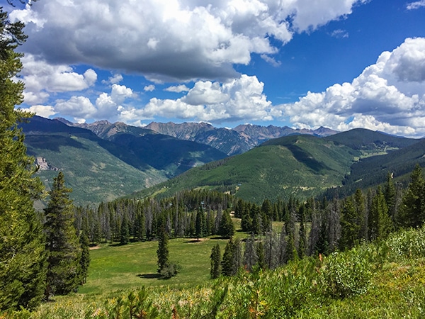
At 1.2mi the trail forks again. The Bighorn Creek trail continues on straight. The trail leading right offers an option to go to a beautiful overlook that will give you a complete view of the Bighorn Creek drainage and the peaks surrounding the valley.
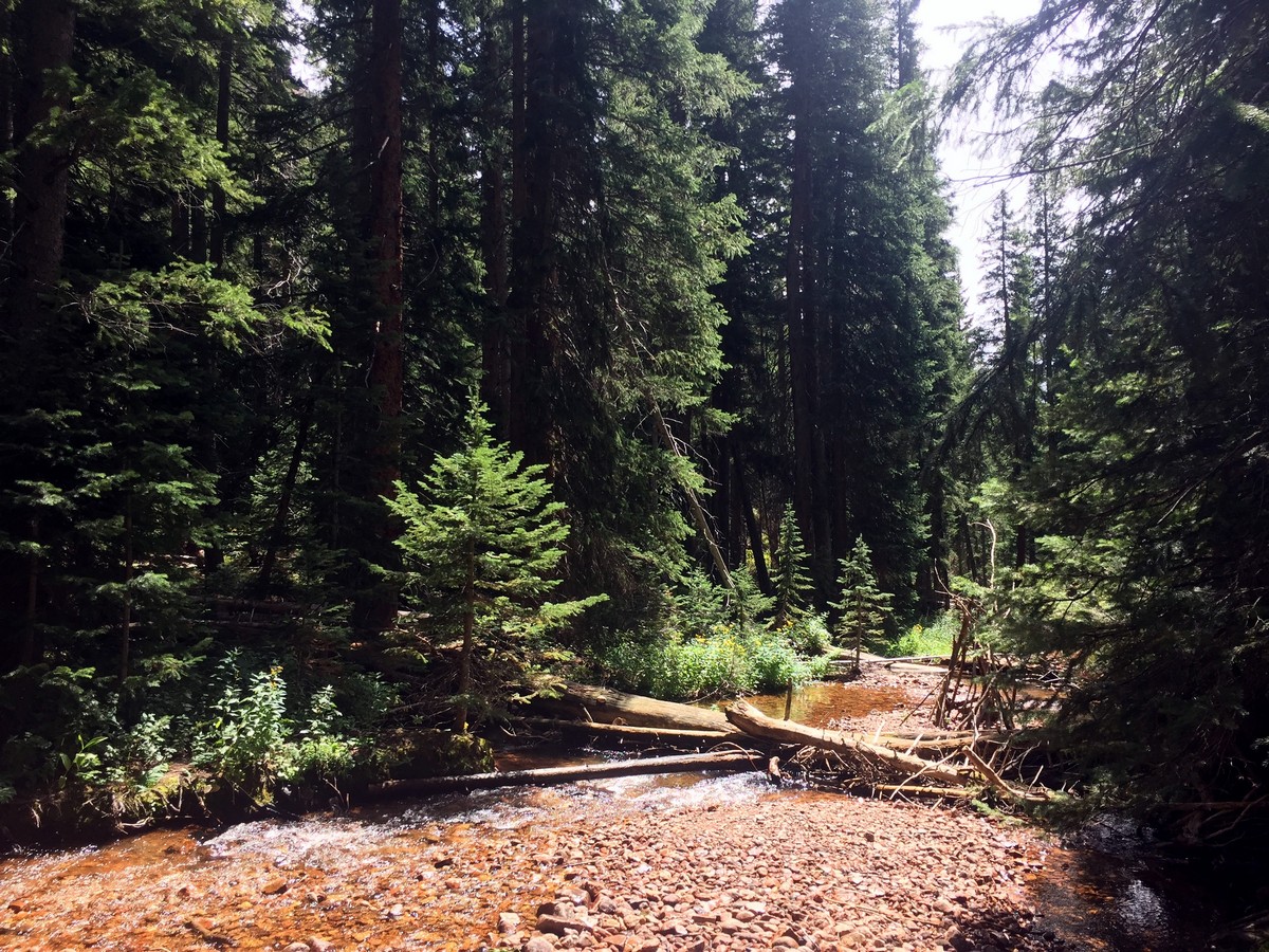
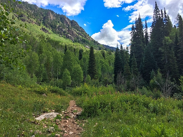
1.5mi in the aspen trees fade away and are replaced by massive pine trees. The trail becomes heavily forested, with ferns dominating the undergrowth. Here, the trail also comes in contact with the creek for the first time. Follow the trail left of the creek and continue up towards the Gore Range.
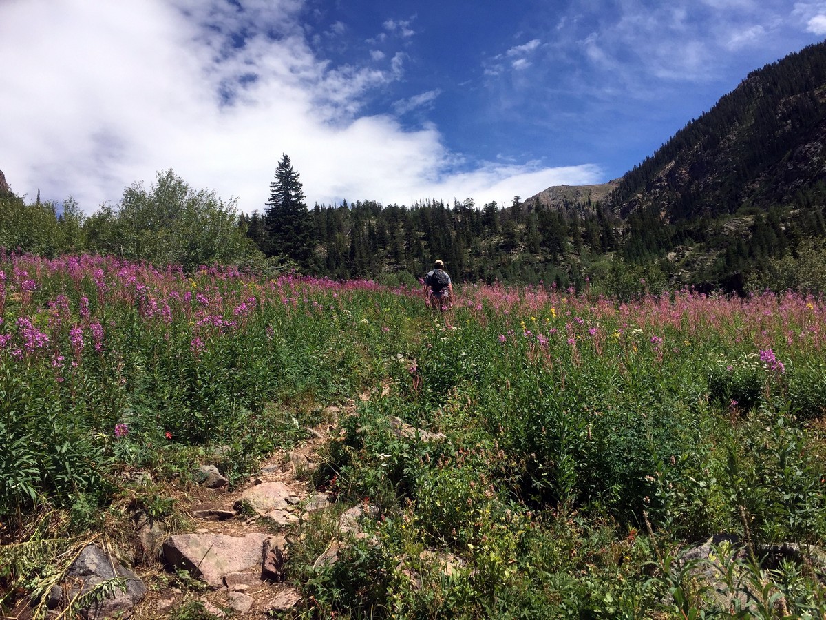
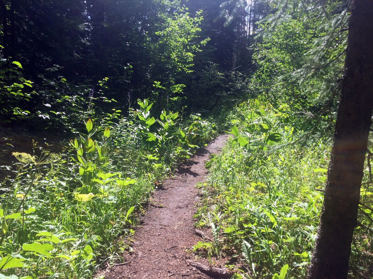
The trail leaves the forest and, as it does, opens up to a meadow sprinkled with wildflowers. The flowers bloom heavily from mid-June to early August.
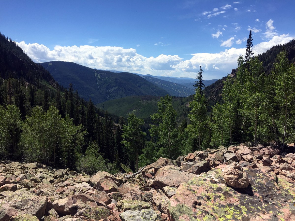
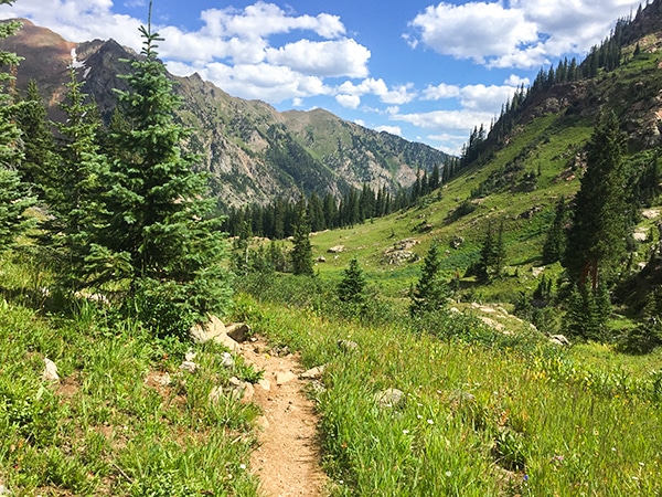
At 2.3mi, the trail enters another forested area and fades away into a small talus slope. The trail goes through the bottom right of the rock field for 98ft and is marked with cairns (rock stacks made by other hikers to mark trail). Directly after the talus slope, the trail transitions back to dirt and, once again, begins to climb through meadows.
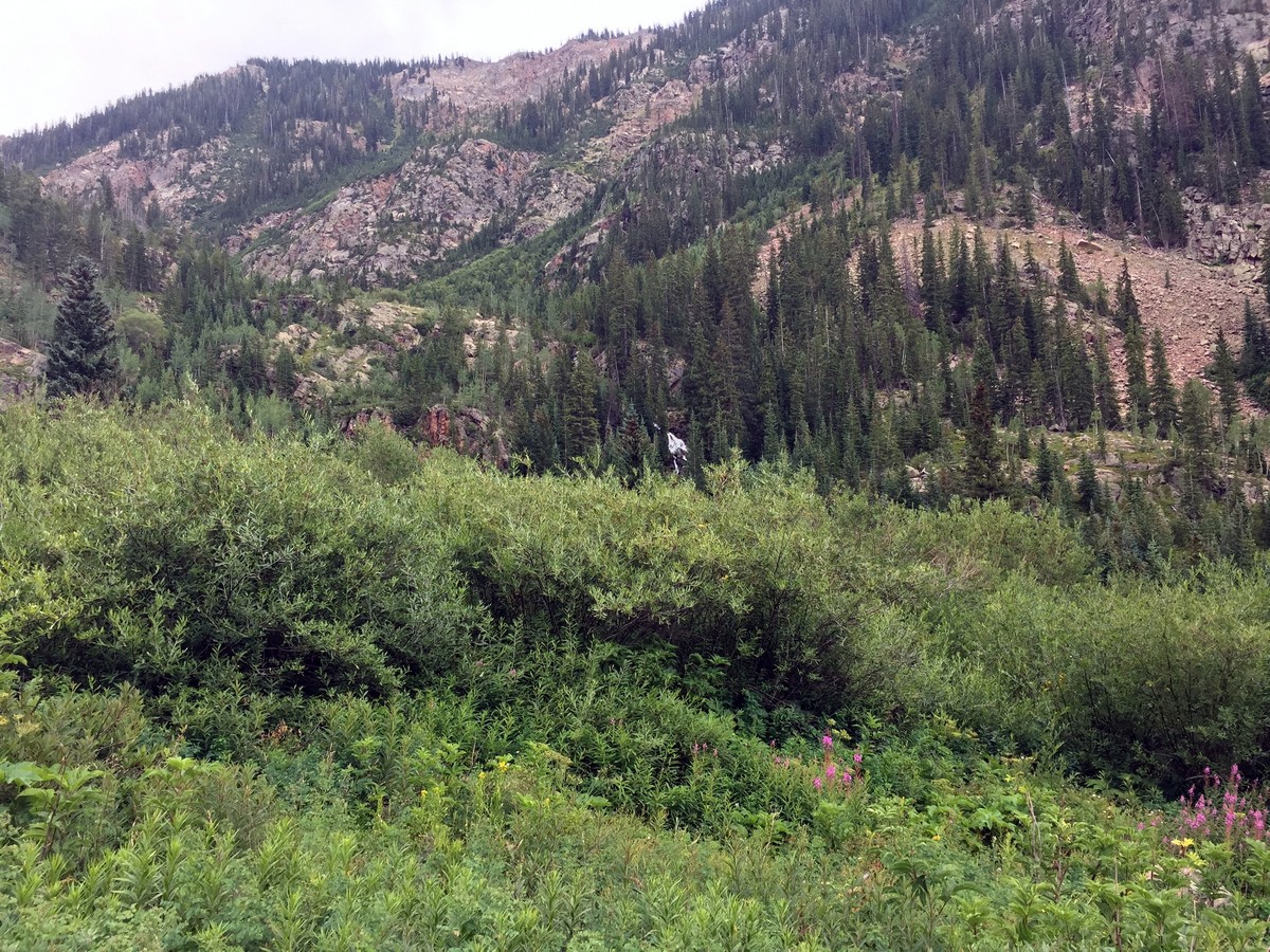
Halfway through the meadow, look to the right to see Bighorn Falls peaking through the foliage in the distance.
As you lose sight of the falls, the trail gains elevation. You’ll climb towards the top of the meadow and another short talus section. The trail goes straight through the talus slope and towards a lone pine tree growing 33ft from the opposing side of the field. While walking through the talus slope, look back down the valley to get a glimpse of Vail Village. Once you’re through the talus slope, You’ll walk past multiple rock outcroppings that offer beautiful views of the valley below. This spot is also the perfect spot for a picnic.
The trail steadily climbs for another 0.5mi. At the top of the steep section, 3.0mi into the hike, the trailheads back towards the Gore Range through meadows and pine stands. The Grand Traverse, a continuous ridge that connects all the peaks and valleys of the Gore Range, is clearly visible from here.
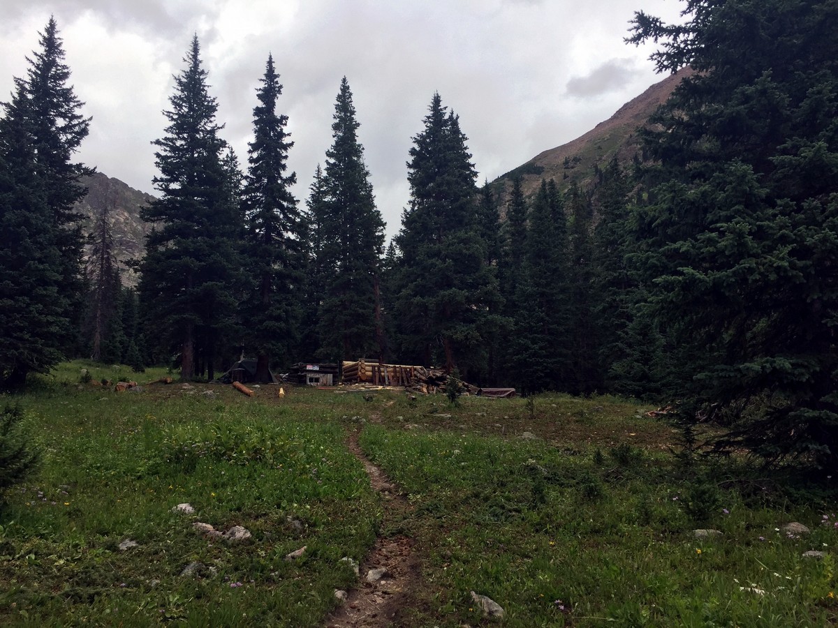
The trail ends at an old homestead cabin (being rebuilt as of summer 2017). The Gore Range towers over you after 3.7mi of hiking. The cabin is private property, but the door is left unlocked to offer shelter to hikers.
Follow the same trail down to finish your hike!
Insider Hints
Keep an eye out for beaver ponds just after the initial steep ascent and where the trail meets the creek after 1.5mi.
Though the trail ends at the old mining cabin, the rock outcroppings just before the 3.1mi mark offer the best views for lunch.
The best spots to camp are above the falls on the last mile of the trail before the cabin.
If the parking at the trailhead is full, overflow parking is on the right just before the tunnel. Parking in any unmarked spots in the neighbourhood is illegal and will result in a citation.

Similar hikes to the Bighorn Creek Trail hike
Berrypicker Trail
Berrypicker Trail hikes up Vail Mountain to Eagle’s Nest from Lionshead Village. The trail steeply winds through meadows of wildflowers…
Gore Lake Trail
Gore Lake Trail is a full-day hike to the beautiful, alpine lake. The trail winds through aspen groves, meadows, and…
Pitkin Lake Trail
Pitkin Lake Trail makes for an adventure-filled day hike. The gorgeous trail starts off steep, but it quickly (after roughly…
marysmith 4 years ago
Highly recommended! One of a kind beauty!
rosevalley 4 years ago
The scenery of the valleys below were stunning.
TopherSan 4 years ago
Excellent! We admire the flocks of blue columbine and fireweeds along the way, aside from the beautiful valleys.
BoulderBound 4 years ago
Steep trail but we were pleasantly surprised by the views. Worth the hike.
jennyspencer 4 years ago
Nice trails and views! The highlight of the trip was Bighorn Creek Falls.
Reagan Jaz 5 years ago
There were wet trails that I wasn't expecting. We managed to get through it, but I wish I've known earlier.
Lola M. 5 years ago
A moderate hike and well-maintained trail. Great views throughout. Fantastic hike especially with all the fall colors.
lilibethl 5 years ago
The trail was not crowded. The inclines mixed with the rocks were super challenging. Overall, all was well worth the hike.
Lloyd Frank 5 years ago
Amazing hike, lots of views. Much of the path was rocky, and there were a couple of steep sections along the way. Be careful of those.
Lux L. 5 years ago
Hike was good and Vail Village was such a fine village!