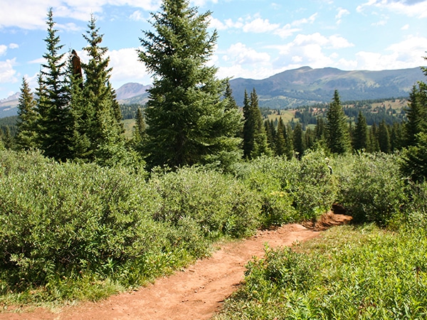
Gore Valley Trail (East Vail) hike
View Photos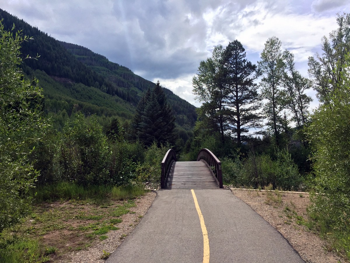
Gore Valley Trail (East Vail) hike
Difficulty Rating:
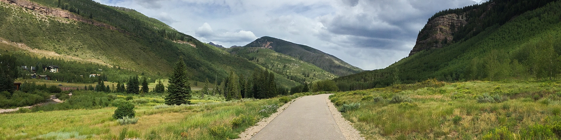
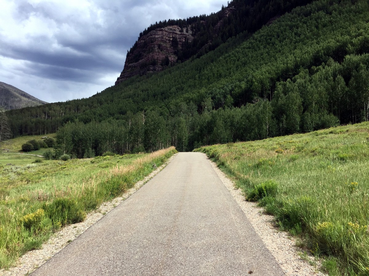
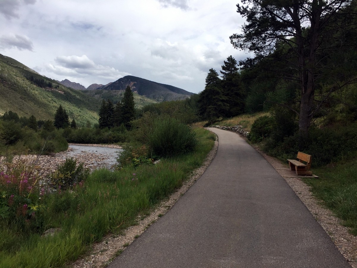
The East Vail portion of the Gore Valley Trail takes a shared hike and bike path. You’ll pass below a vibrant red sandstone cliff band while following Gore Creek. The easy walk leads to the meadows and aspen groves on the east end of the golf course. Pack a picnic for this one!
Getting there
From Vail Village, take I-70 east to East Vail, exit 180. Turn right and follow the road as it arcs left. The parking lot is on the left-hand side immediately after the road straightens out. The trailhead is located across Bighorn Road.

About
| When to do | Spring/Summer/Fall |
| Backcountry Campsites | No |
| Toilets | No |
| Family friendly | Yes |
| Route Signage | Average |
| Crowd Levels | High |
| Route Type | Out and back |
Gore Valley Trail (East Vail)
Elevation Graph
Weather
Route Description for Gore Valley Trail (East Vail)
The Gore Valley Trail is the most marked trail in all of Vail, offering the simplest navigation throughout the valley floor. To start the trail from the parking lot, carefully cross the street to the podium that signifies the Gore Valley trail. From here, you will see the paved road, and you will hear the soothing sound of the creek flowing on your left. Head west on the trail, towards Vail Village.
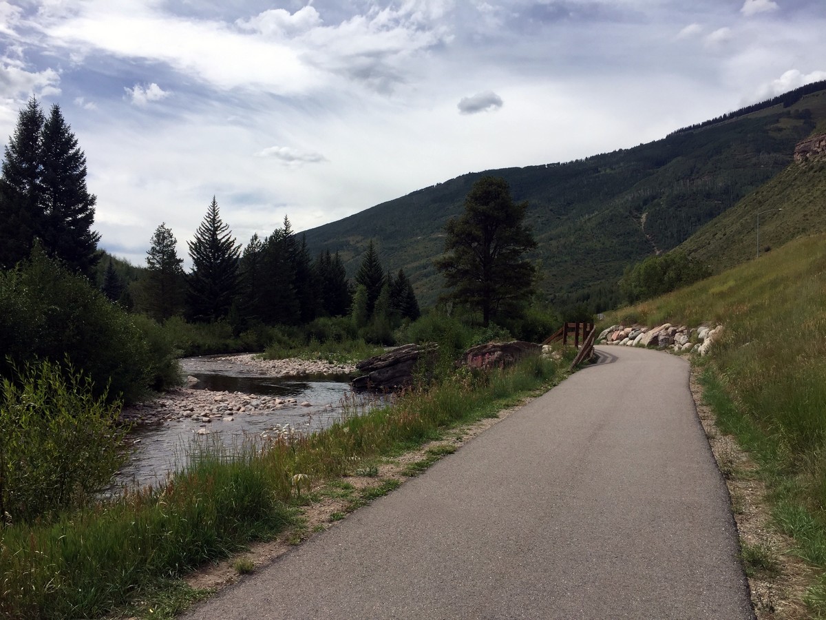
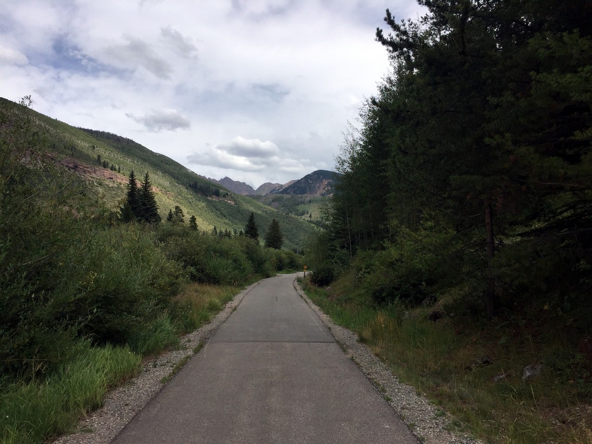
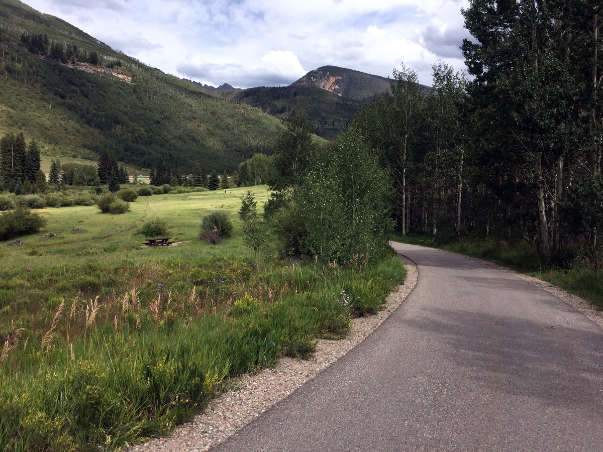
The trail will head slightly downhill taking you over a bridge. At 0.3mi in, you will pass the Vail Memorial Park. The trail then opens up to a large meadow, the creek now on your right. From here, walk through the open meadow as it gently curves around the creek.
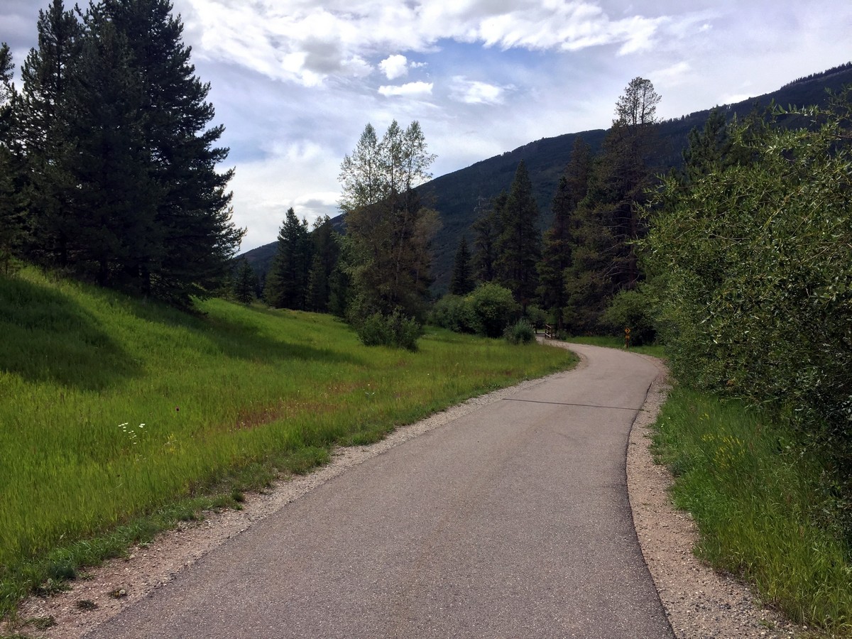
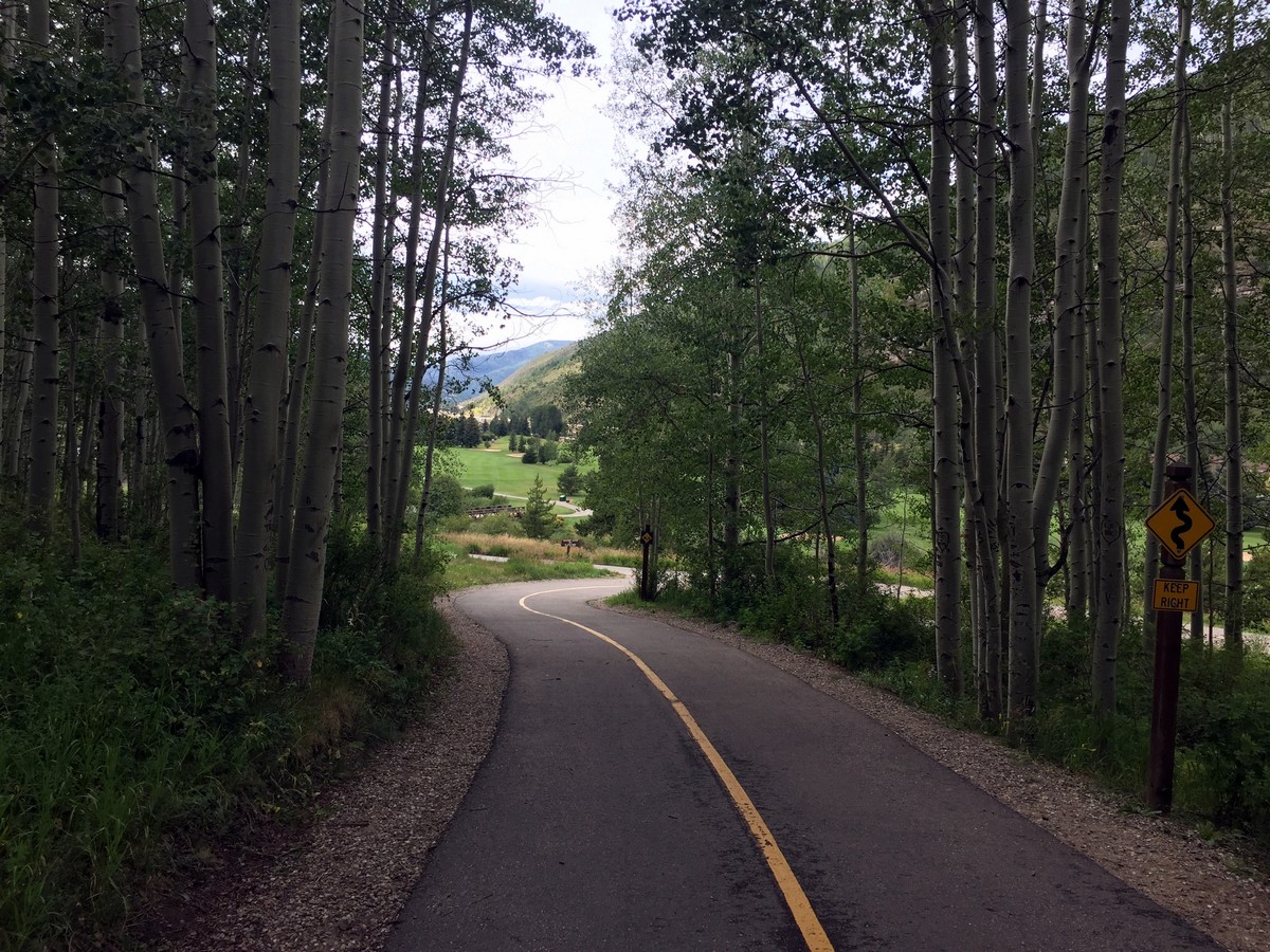
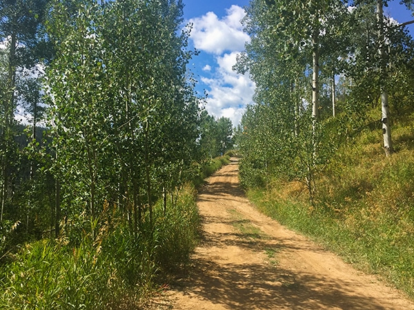
At the end of the trail, you will walk up a large hill surrounded by dense aspen trees. The top of the hill levels out before taking you downhill again to a sign signifying you are entering the golf course area. From here, the trail turns sharply right for 49ft and then loops back around to take you west again.
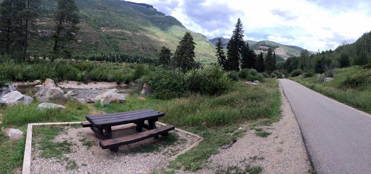
The wilderness portion of the trail ends at a perfect picnic table that sits right next to the creek at 1.9mi in. Enjoy a snack and the sound of the creek before turning around and heading back to the trailhead.
Insider Hints
Explore the beautiful eleven-acre Vail Memorial Park located after the bridge on the left side of the trail. The park is dedicated to those who hold a special connection to Vail and Gore Creek Valley.

Similar hikes to the Gore Valley Trail (East Vail) hike
Davos Trail
The Davos Trail follows a dirt service road. It hikes through aspen groves and meadows of wildflowers. Looking across the…
Ridge Route
Ridge Route is a hike located on Vail Mountain, connecting Eagle’s Nest to Wildwood. The trail offers breath-taking views of…
Shrine Ridge Trail
Shrine Ridge Trail gradually hikes through lush pine meadows, passing two small ponds, to Shrine Ridge. The Shrine Ridge leads…
TopherSan 4 years ago
We did this trail last autumn, and the color of leaves made everything seem surreal.
will-perry 4 years ago
The paths were incredibly well-maintained, making it easy for everyone to walk around.
mendel 4 years ago
It's still magnificent, even though the skies were gray!
Florence P. 4 years ago
A nice walk through the forest. Well worth the short trip up!
Mary Lou 4 years ago
Love the rugged feature of natural pathways, but I appreciate the paved walkway. It's very convenient.
onoyuki 5 years ago
It's like walking around town but with more trees and incredible mountain views.
Lola M. 5 years ago
Great trail for kids and an easy bike ride too. The view of the creek is beautiful, and the trail is easy to follow. Highly recommended.
Eugene L 5 years ago
You'll never run short of beautiful views to see while walking around the area.
Lloyd Frank 5 years ago
An easy hike and probably a good warm-up for beginners. Great scenic trail. Lots of picnic benches and amazing views of the surroundings and river.
Jeff Axe 5 years ago
We also explored Vail Memorial Park. It was a nice place too.