Upper Piney River Falls Trail hike
View Photos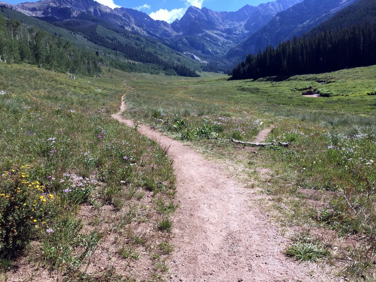

Upper Piney River Falls Trail hike
Difficulty Rating:
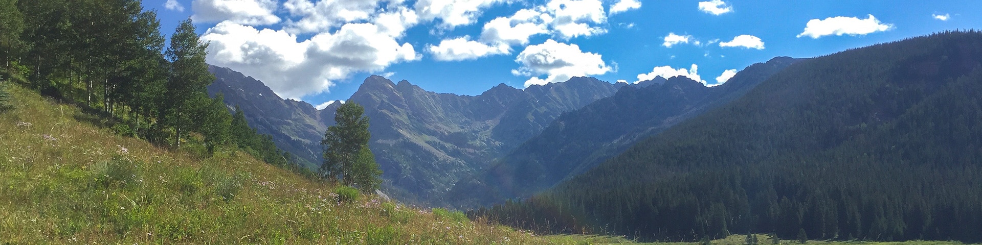
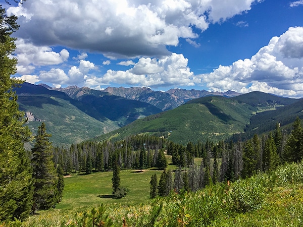
Upper Piney River Falls Trail is one of the most popular hikes in the Vail Region. The trail, which rewards hikers with stunning views of the Gore Range, slowly climbs up 699ft, spread over 2.9mi, to a cascading waterfall. This trail is commonly used as the approach to Mt. Powell - the highest summit in the Gore Range at 13586ft.
Getting there
From the I-70, take exit 176 for Vail Village. Take roundabout exit to North Frontage Road west. Drive 1.0mi to Red Sandstone Road: turn right. Drive 0.8mi to the dirt Forest Service Road #700. This is a bumpy road and a bit of ground clearance helps. Take this road to the parking lot.

About
| When to do | Summer/Fall |
| Backcountry Campsites | Yes, in Eagle's Nest Wilderness |
| Toilets | Yes, at Piney River Ranch |
| Family friendly | Yes |
| Route Signage | Average |
| Crowd Levels | High |
| Route Type | Out and back |
Upper Piney River Falls Trail
Elevation Graph
Weather
Route Description for Upper Piney River Falls Trail
The trail to Upper Piney River Falls starts at Piney River Ranch, a privately-owned ranch that shares land with the US Forest Service. Parking is located in a dirt parking lot right before the entrance to the Ranch. You will see the dirt trail on the left and slightly uphill of the ranch welcome sign.
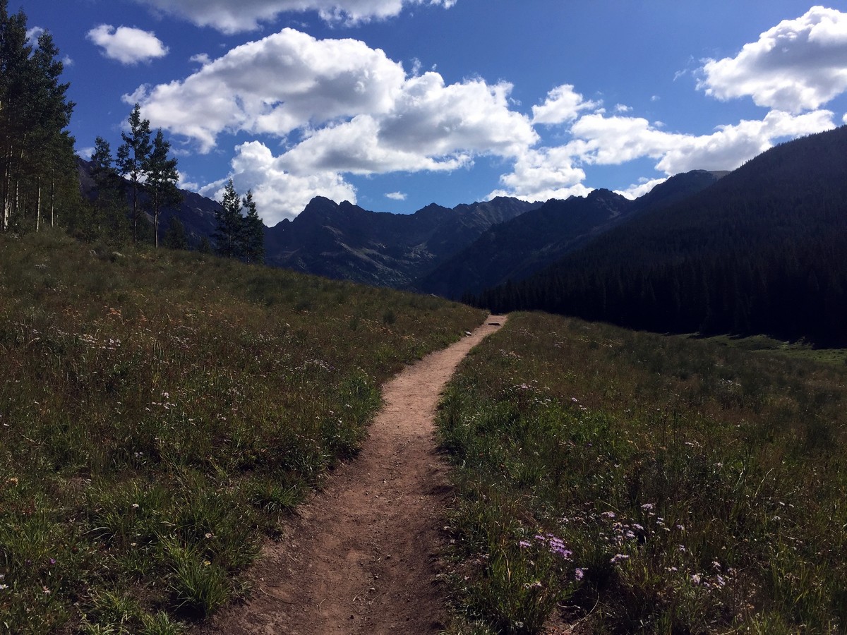
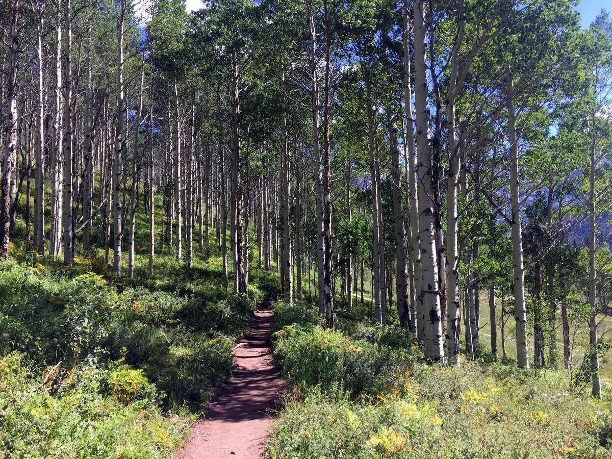
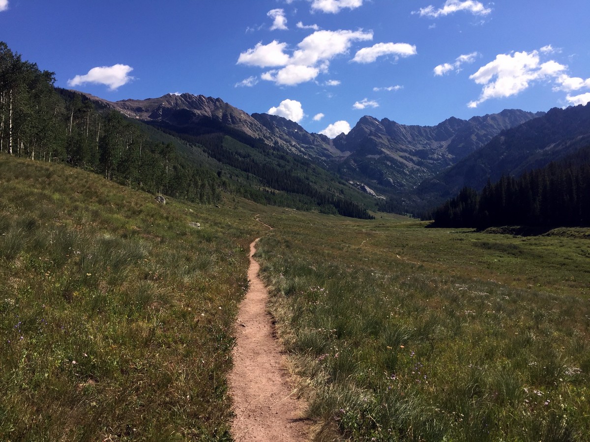
The trail briefly passes through an aspen stand before opening up to a stunning view of Piney Lake and the Piney River drainage with the highest peaks in the Gore Range proudly standing in the background. It is a breath-taking view and one of the best of the Gore Range.
0.5mi into the hike, you’ll come across another trail sign welcoming you to the Eagles Nest Wilderness. From here, continue to follow the trail along Piney River towards the mountains.
Roughly 1.2mi in, the trail forks. The left (upper) trail leads to Marugg Creek, while the right (lower) trail continues through the Piney River drainage to the cascading waterfall. You’ll want to take the left (upper) trail.
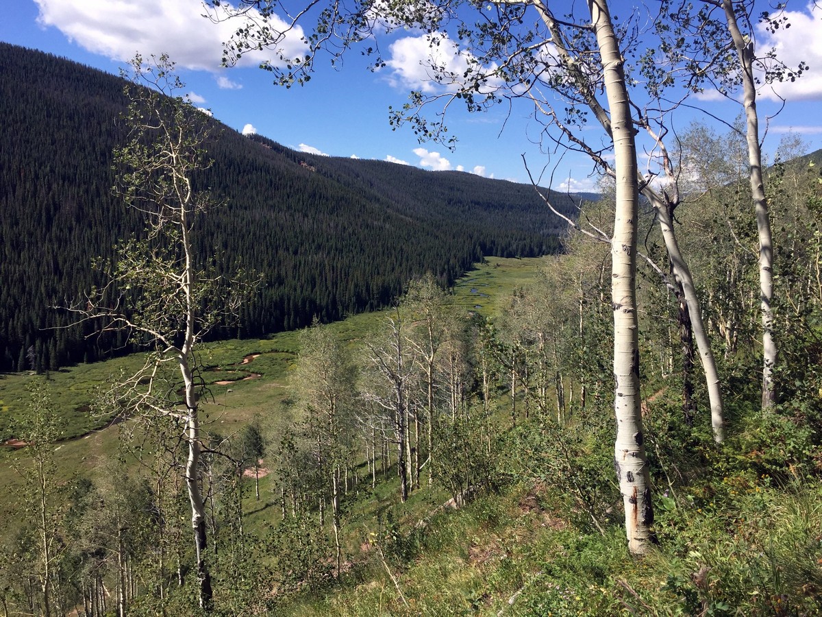
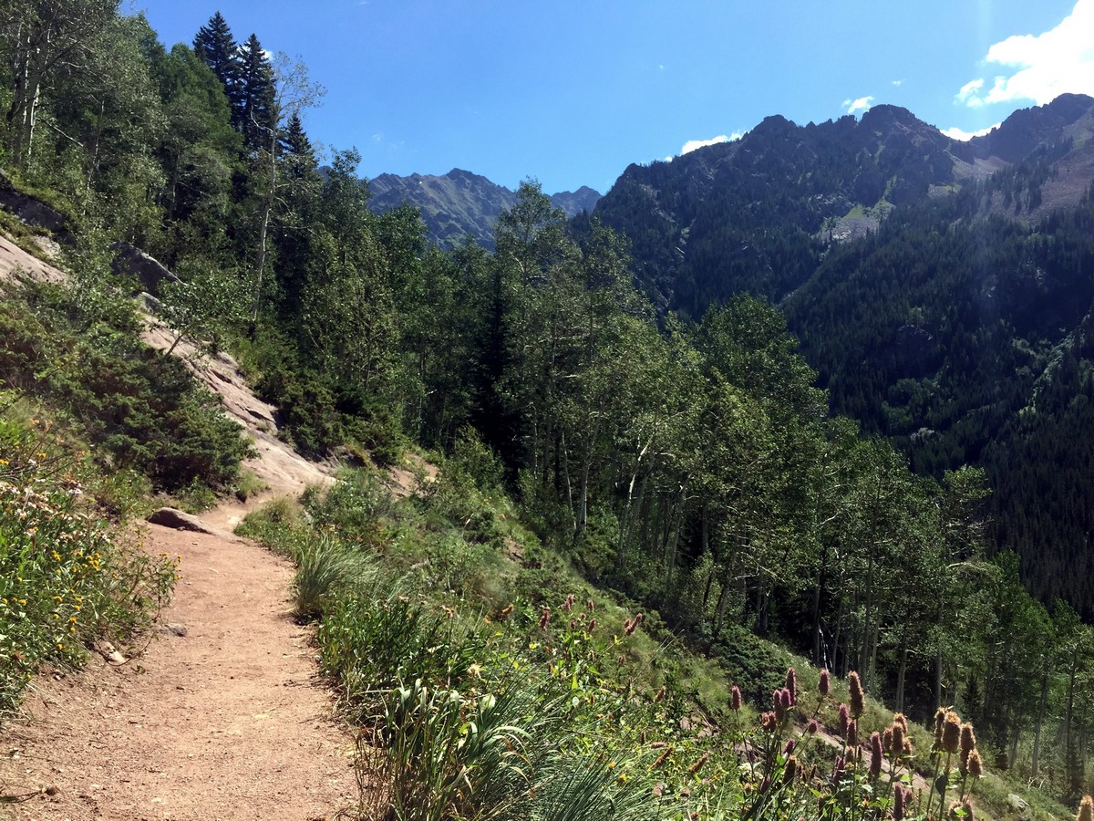
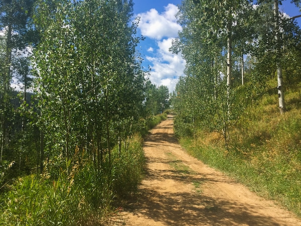
The trail continues for another 0.6mi on the hillside and then begins to gain elevation through the aspen and pine forest. Look down into the valley to see the mesmerizing, meandering Piney River as it feeds into Piney Lake. Pines slowly replace the aspen trees as you encounter two creek crossings, both with small trunk bridges to guide you across.
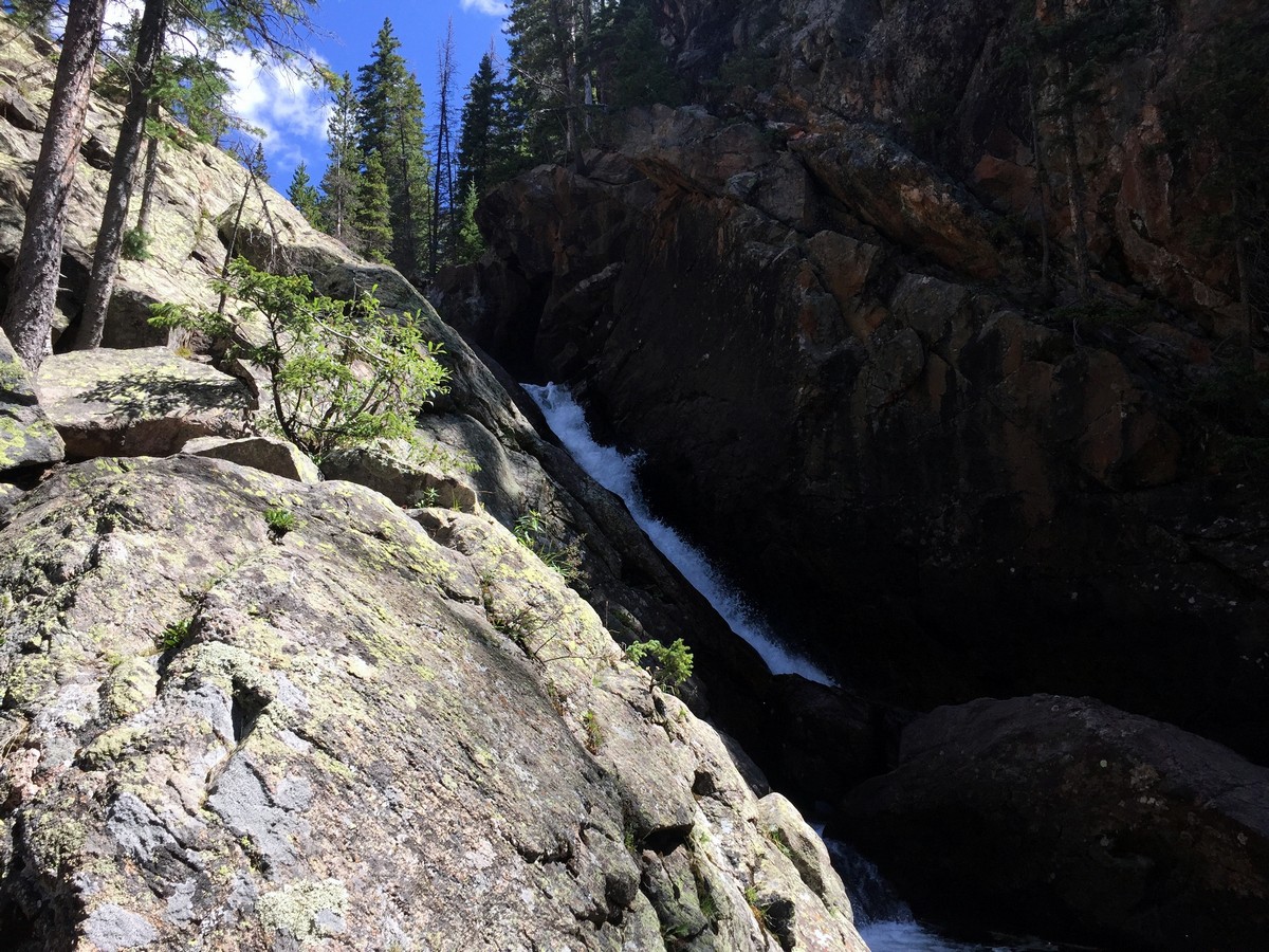
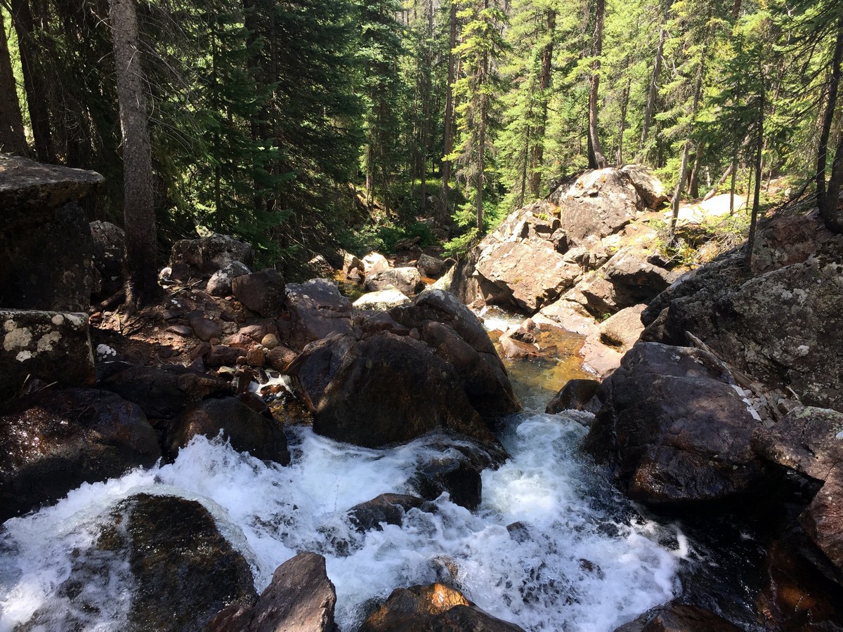
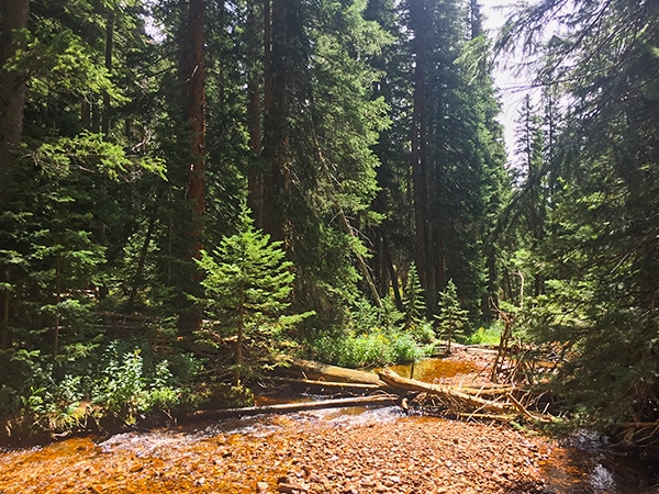
2.5mi in, you’ll start to gradually descend towards the river. The last 0.6mi will take you along a massive granite slab to a small, forested area where you will once again hear the rushing waters of Piney River. Once you get to the river, head right to a big granite slab that offers beautiful views of the cascading waterfall and the river below. There are multiple flats spots along the river that are ideal for a picnic.
Follow the trail back to Piney Lake to finish your hike!
Insider Hints
To get an early start, camp at the free National Forest sites (4) located 328ft from the trailhead.
Keep an eye out for groundhogs on the creek side of the parking lot and moose near the lake.
If you're looking to take a dip into the refreshing Piney River waters, venture upstream or downstream of the falls to find a secluded pool.
Piney Ranch Restaurant is open from 11a.m. - 6p.m. to help re-energize you post-hike (Summer 2018 hours).

Similar hikes to the Upper Piney River Falls Trail hike
Davos Trail
The Davos Trail follows a dirt service road. It hikes through aspen groves and meadows of wildflowers. Looking across the…
Berrypicker Trail
Berrypicker Trail hikes up Vail Mountain to Eagle’s Nest from Lionshead Village. The trail steeply winds through meadows of wildflowers…
Bighorn Creek Trail
Bighorn Creek Trail is a diverse hike that takes you through a variety of trees, and meadows of wildflowers. There…
marysmith 4 years ago
The views are unbelievable!
TopherSan 4 years ago
Upper Piney Lake is mesmerizing! It took us 3 hours to finish the trail, but it was pretty easy.
will-perry 4 years ago
The views are heart-warming to see. Not sure if it was a butterfly season, but there are plenty of butterflies flying around.
mendel 5 years ago
It was sunny, and the wind was blowing very gently to cool us during the entire hike. In short, it was perfect!
Florence P. 5 years ago
It is an easy trail with nice views of Gore Range. Don't forget to visit this place.
London AP 5 years ago
Easy hike to the falls, with great views of the surrounding area.
Eugene L 5 years ago
Pleasant cascading waterfalls and views. There are few great spots for picnic.
Lola M. 5 years ago
The lake is stunning, and the views along the way to the waterfall were truly astounding. Don't forget to bring water on this hike. We had a fantastic hiking experience.
Lloyd Frank 5 years ago
Superb view of the wildflower fields and amazing snow-capped mountains. Well-maintained and easy to follow path. The trail is just a little rocky but manageable.
Brexit Smith 5 years ago
The trail is narrow and moderately trafficked. It was filled with amazing views of the lake and mountains. Perfect hike for beginners.