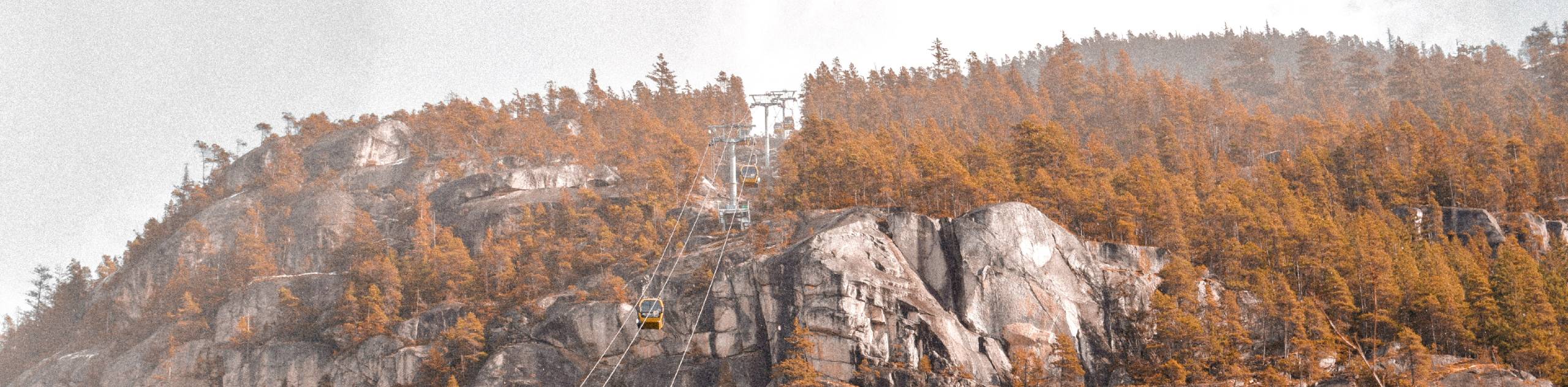
Elfin Lakes hike
View Photos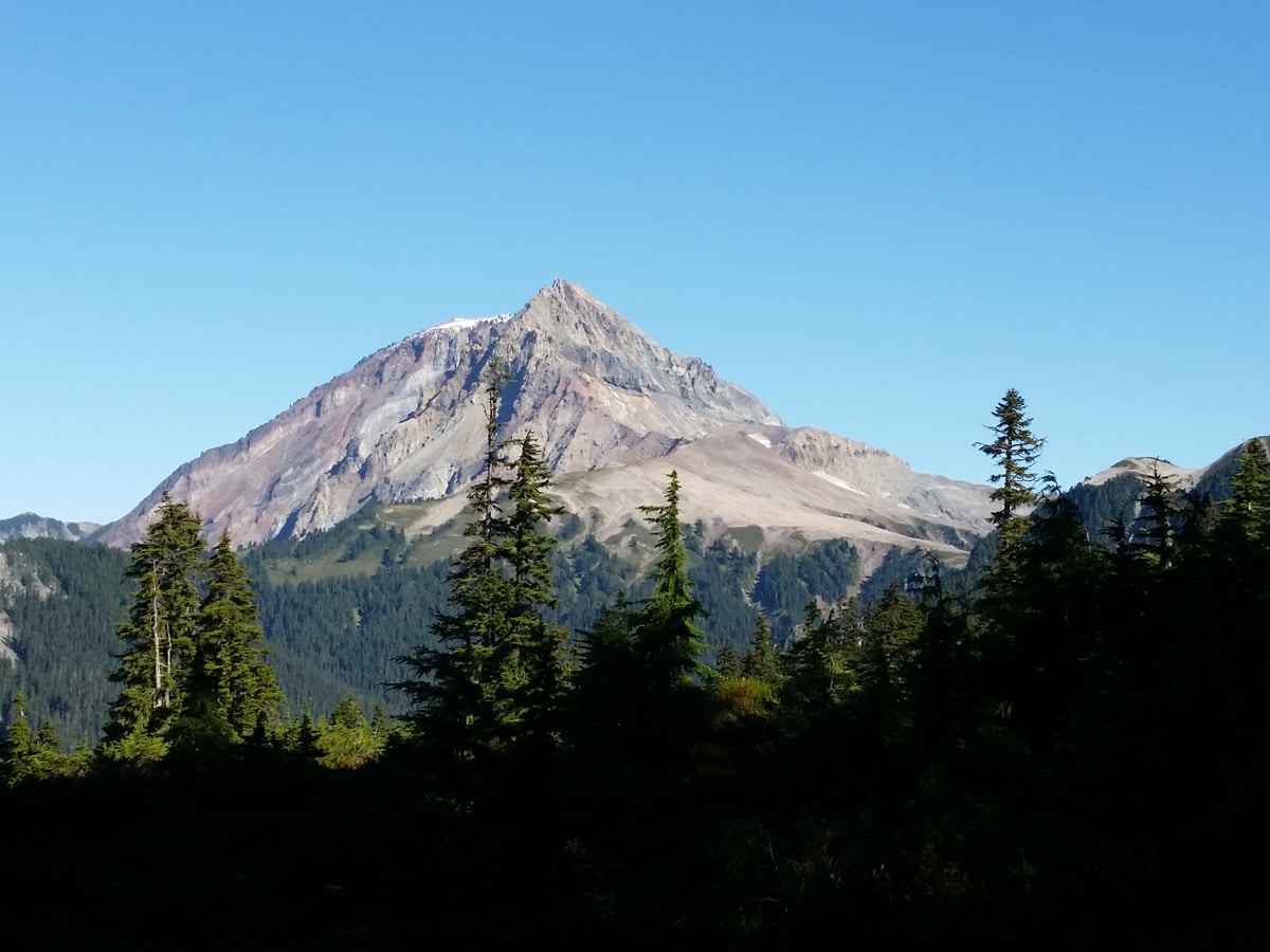
Elfin Lakes hike
Difficulty Rating:
The Elfin Lakes hike is located within Garibaldi Provincial Park, which is a great home base for accessing surrounding hiking destinations. Tackle the hike to two stunning lakes, one of which you can take a refreshing dip in, and enjoy the surrounding subalpine area.
Getting there
To get to the trail from Vancouver, take Highway 99 just north past Squamish. As you are driving through Squamish, exit right at the BC Parks sign for Garibaldi Park Diamond Head. This is Mamquam Road, right before the Canadian Tire. It is about 9.9mi to reach the trailhead from Highway 99, mostly on a narrow, gravel road. The road will steepen and you will pass Quest University. You will eventually see another sign pointing you left, for Garibaldi Park Diamond Head.

About
| When to do | July to October |
| Backcountry Campsites | Yes |
| Pets allowed | No |
| Family friendly | No |
| Route Signage | Average |
| Crowd Levels | Moderate |
| Route Type | Out and back |
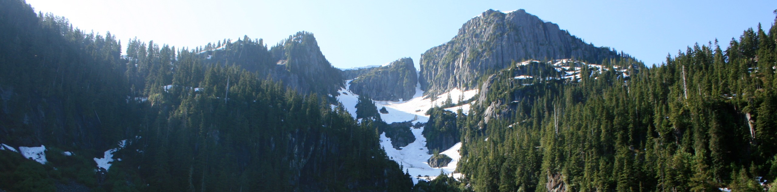
Elfin Lakes
Elevation Graph
Weather
Route Description for Elfin Lakes
Start the Elfin Lakes hike within the Diamond Heads parking lot, near the yellow gates.
Head out onto the old road and you’ll notice the trail immediately climbs uphill. The old road here was once the stretch of trail that would bring guests and supplies to the once famed Diamond Head Lodge.
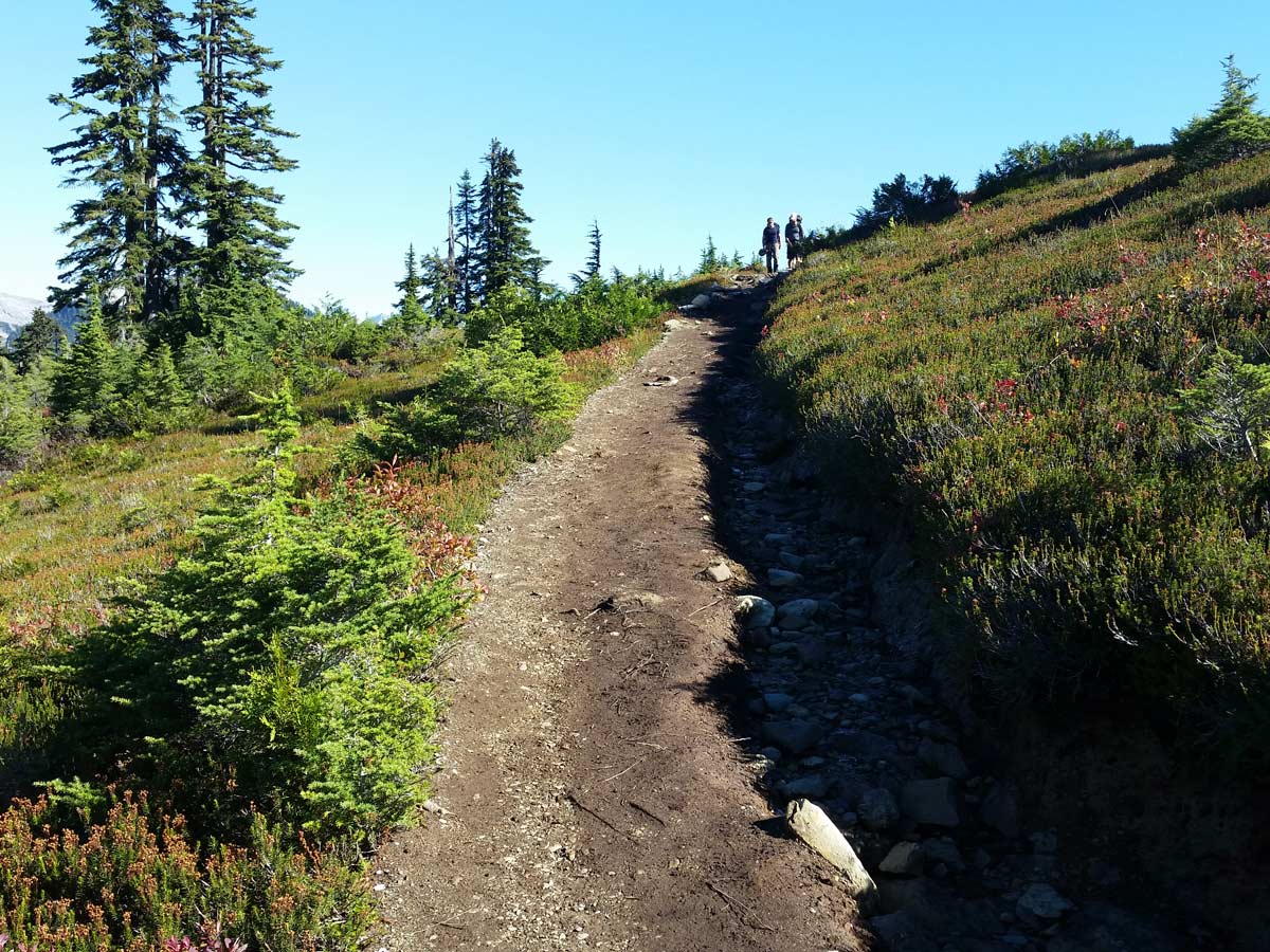
Continue as the trail makes a sharp left and begins increasing in difficulty moving from the forest floor up toward the subalpine. Follow the trail until the 5.0km mark, where you should reach Red Heather Meadows and shelter.
Once here, enjoy the beautiful meadow, ideally, you’re hear when the flowers are in full bloom, bursting with wildflowers. This is a good place to enjoy a snack and a rest in the shelter.
Follow the trail just past the shelter and the trail will split in two directions, and there will be a green sign directing hikers to the left, as the trail to the right is for mountain biking use.
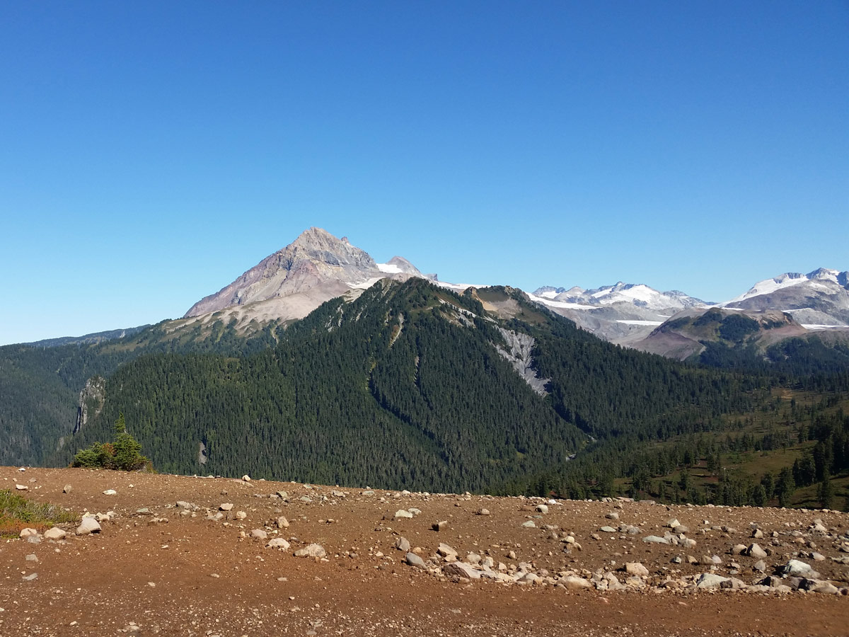
Continue to the left and you’ll arrive at a little lookout over Atwell Peak, which is not to be mistaken for Diamond Head.
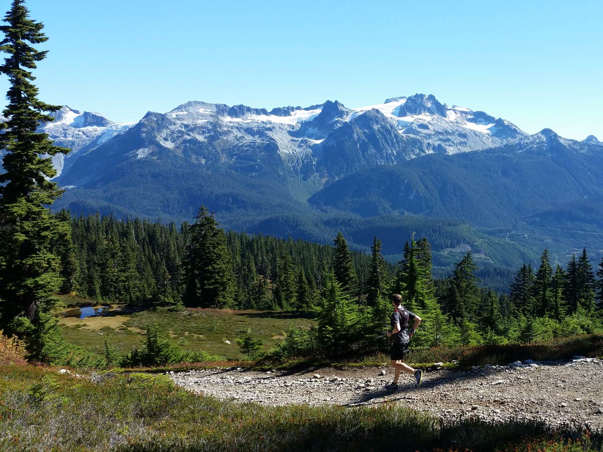
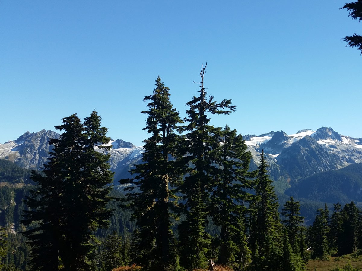
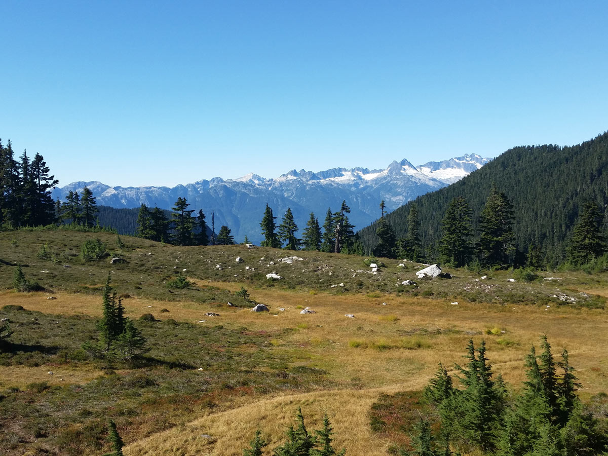
Once you pass where the trail merges with the mountain biking path, you’ll walk along a gravel path with beautiful views as you ascend along Paul Ridge, which is the highest point of the hike, before descending back down towards Elfin Lakes.
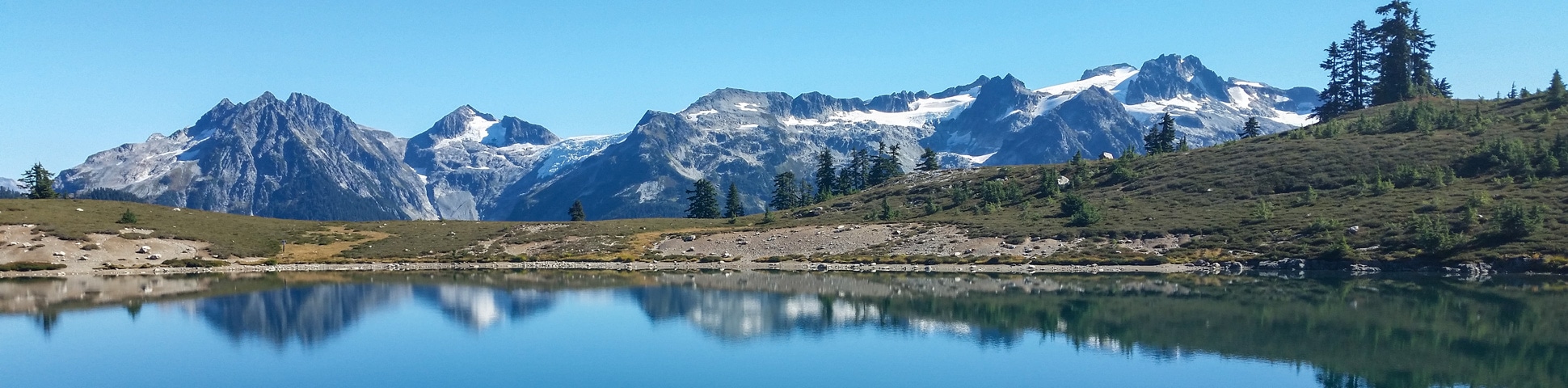
Descend down the path taking in the surrounding views of Mount Garibaldi to the left and Mamquam Mountain to the right.
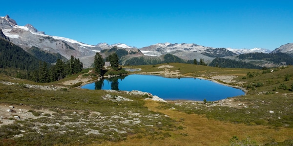
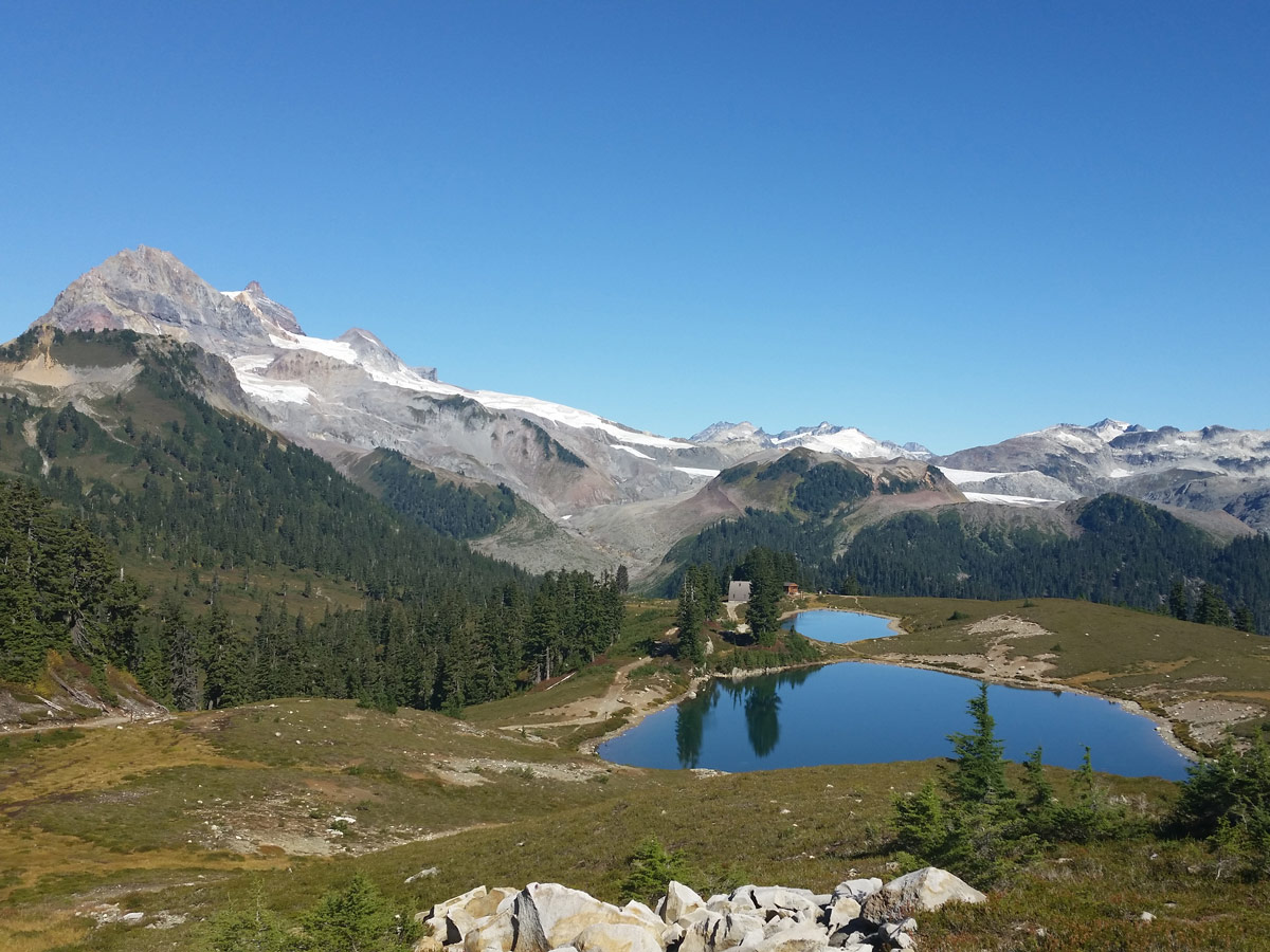
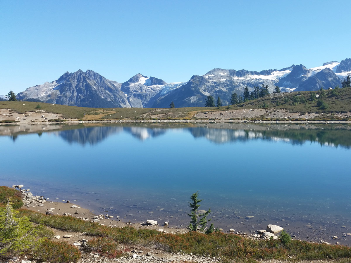
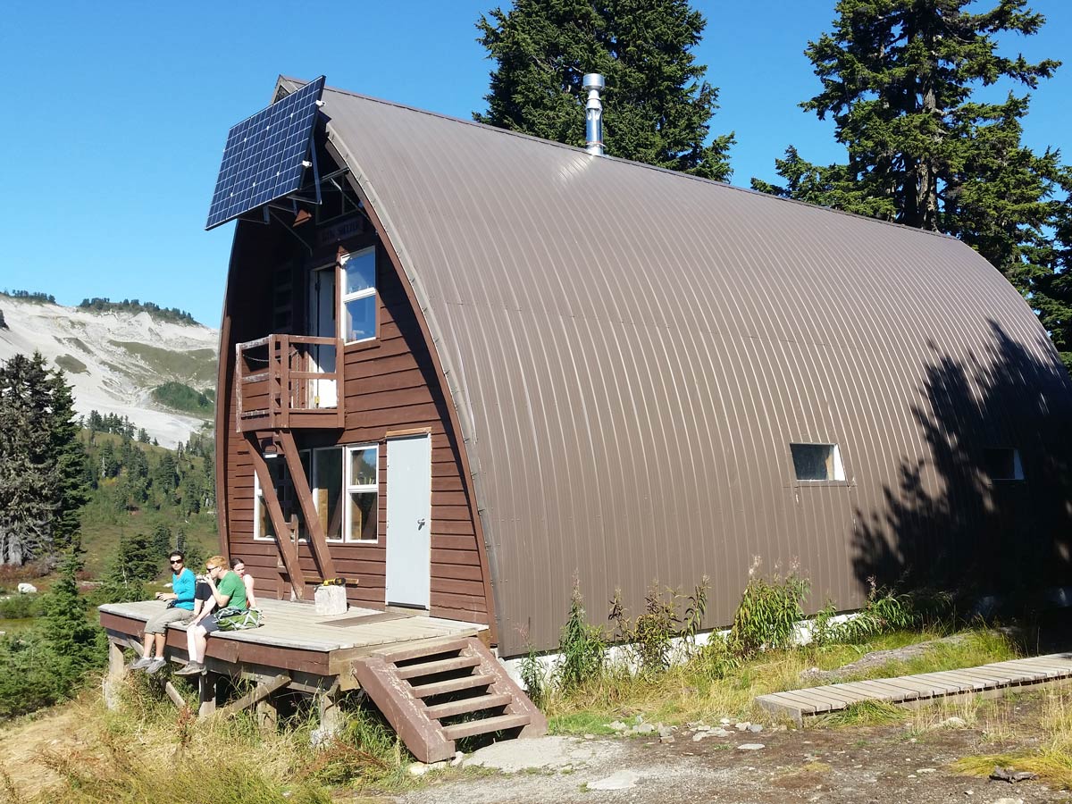
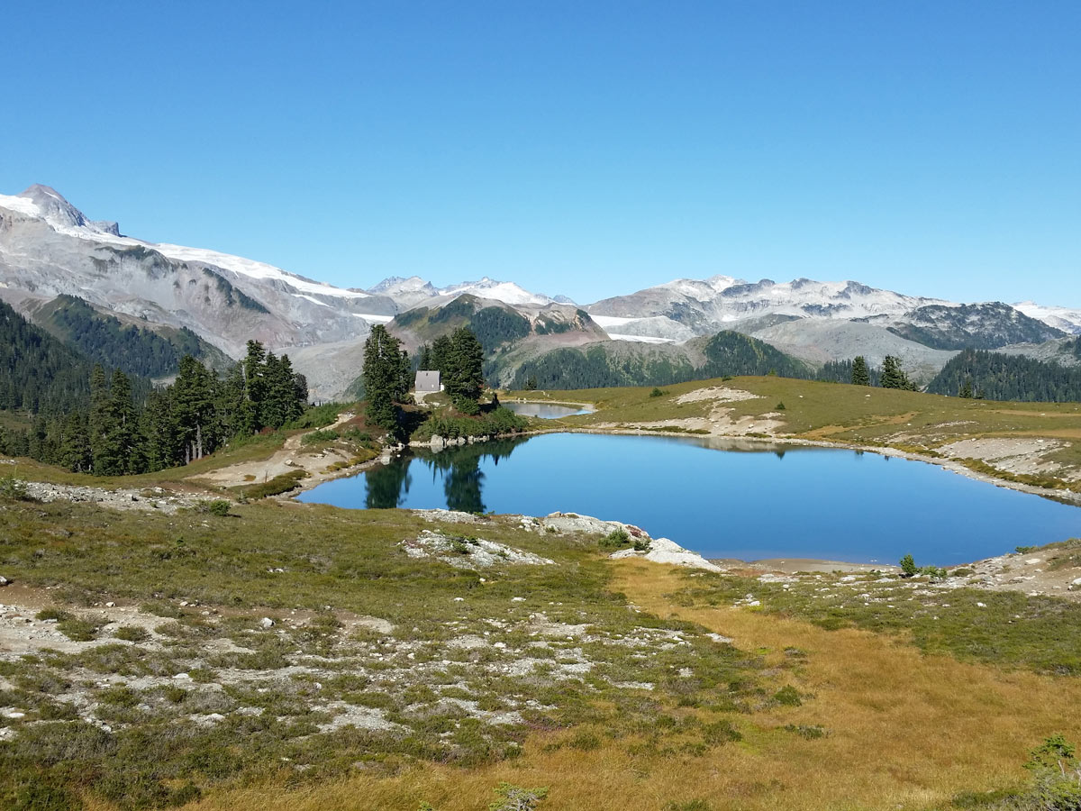
And then, finally, you’ll arrive at Elfin Lakes themselves. The top lake is crystal clear and stunningly beautiful, plus it makes for the perfect spot for a summers dip. However, the lower lake is reserved strictly for drinking water for the campsite.
You can either pitch a tent here for the night (which we highly recommend!) or you can retrace your steps back to the car.
Insider Hints
If you’re camping for the night, you can pay cash at the drop box in the parking lot if you didn’t pay in advance online.
The highest concentration of black bears within Garibaldi Park is found within this area around Red Heather Meadows – so be aware while traveling through here – especially in September and October.

Similar hikes to the Elfin Lakes hike
Skyline Ridge Trail
The Skyline Ridge Trail is a challenging 12.5mi uphill hiking route near Squamish that sets out from Stawamus…
Beth Lake
The 10.7mi trek to Beth Lake will take hikers along an easy to navigate service road through the…
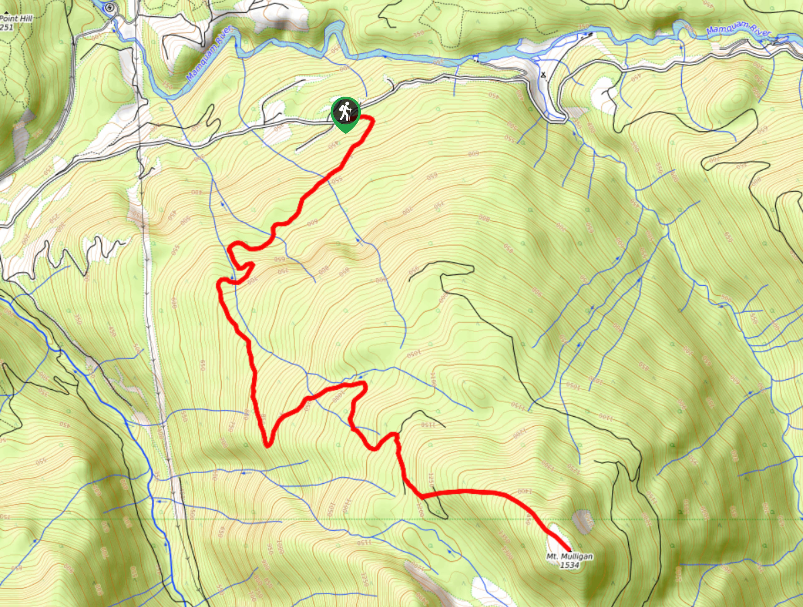
Mount Mulligan Trail
Hiking along the Mount Mulligan Trail is a difficult affair due to the steep incline of the route, but this…
jonathanskinnider 4 years ago
Stella Winster 4 years ago
We were there last month, and the paths were slippery and really challenging. Good hiking experience.
Fur Dates 4 years ago
Love this place no matter which season or weather conditions. Also, the hike is pretty easy. Highly recommended.
Molly Pineda 5 years ago
A wonderful little hike in the coastal mountains. Nice in summer for a family afternoon hike and enjoyable also on the ski in winter.
loneranger 5 years ago
Moderate hike, with some steep parts. It's good and I had decent amount of fun.
Amethyst S. 5 years ago
First ascend was already a rush. I sweat a lot, it wasn't something I was expecting. If you can, then you should definitely push through. It will get easier from there.
Wade Atkinson 5 years ago
There are several destinations you can do from here. It's a great place, with lots of beautiful views from the valley.
Niamh Gorget 5 years ago
Beautiful scenic hike, the hike in about 21km with an elevation gain of about 700m. The views at the top were well worth the effort. Very rewarding indeed!
metamorphiks 5 years ago
The trail is easy to follow and well-maintained. Amazing views when you reach the lakes and campsite. The Elfin shelter is great and well-maintained too.
verdanaf. 5 years ago
Bring bear spray and hiking poles if you've got tired knees on the way down. The lakes are small and the terrain is extremely rough. There are some amazing views of the mountains on the way up, but the path is rocky with lots of loose ground.