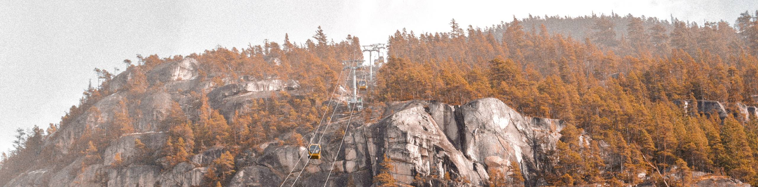
Beth Lake
View Photos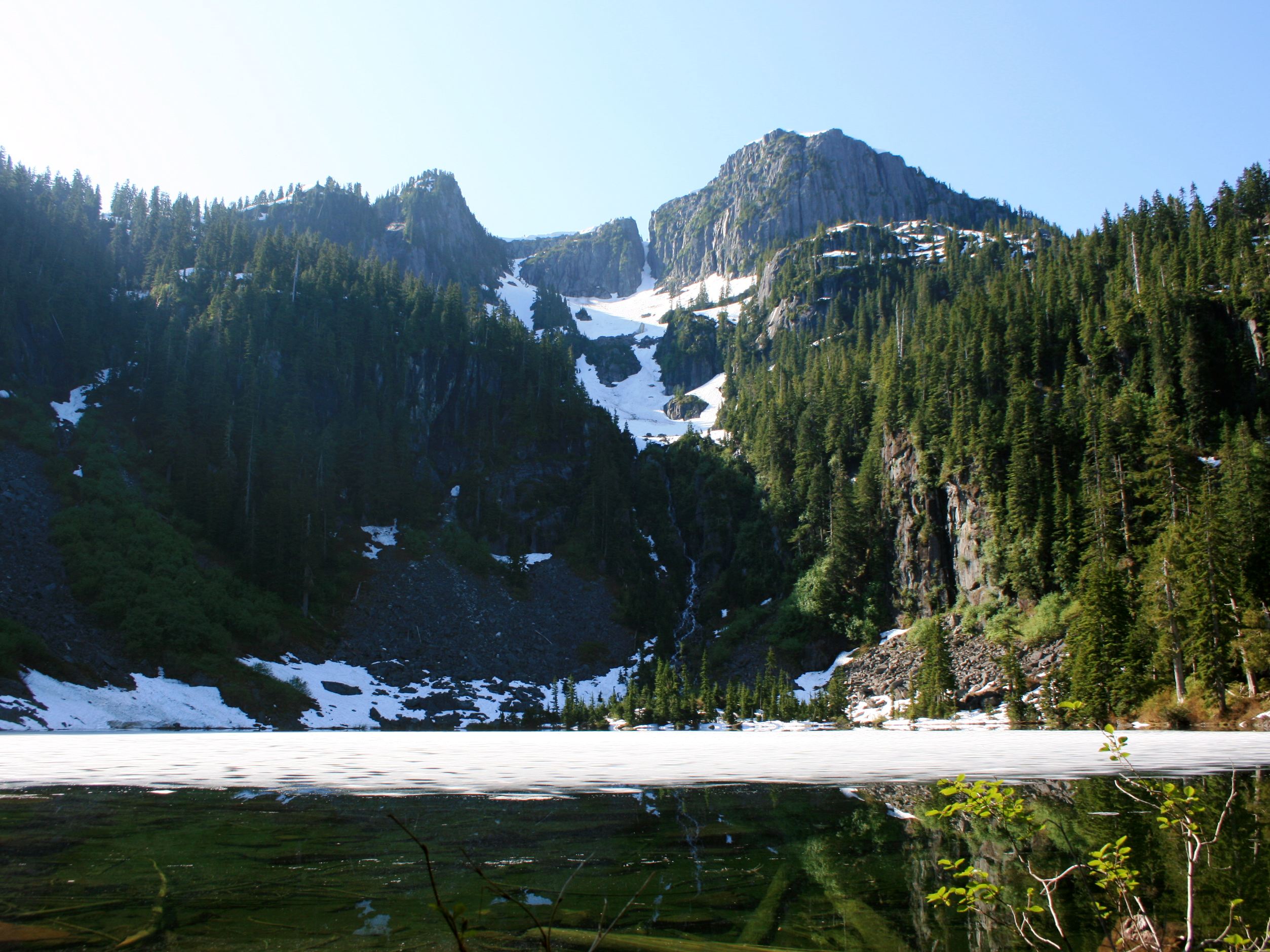
Beth Lake
Difficulty Rating:
The 10.7mi trek to Beth Lake will take hikers along an easy to navigate service road through the forest before splitting off onto the Beth Lake Trail on the approach to the picturesque waters of the lake. Once there, you can enjoy the natural beauty of the woodland landscape and take in scenic views of the rugged mountains that stand high above. This is a tough uphill climb that can be enjoyed by experienced hikers and those looking to build up to more difficult routes.
Getting there
To reach the Beth Lake trailhead from Britannia Beach, drive south along BC-99 for 2.6mi and take the exit for Furry Creek Drive. Continue Straight onto Howe Sound Drive and after 1969ft, turn left onto Sea View Drive. You will find the trailhead on the left in 755ft.

About
| When to do | May-November |
| Backcountry Campsites | No |
| Pets allowed | Yes - On Leash |
| Family friendly | No |
| Route Signage | Average |
| Crowd Levels | Moderate |
| Route Type | Out and back |
Beth Lake
Elevation Graph
Weather
Beth Lake Trail Description
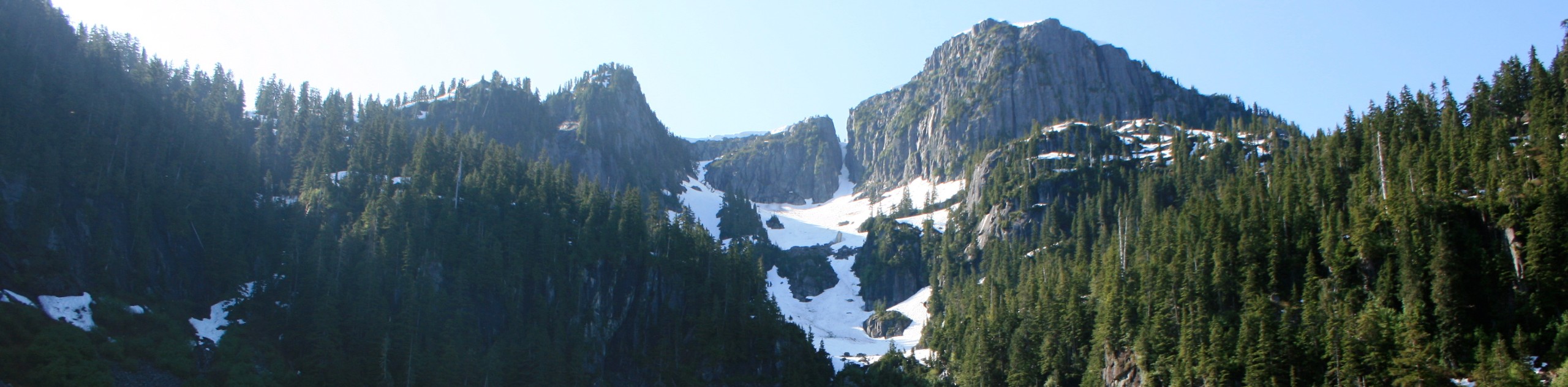
The hike up to Beth Lake is a 10.7mi out-and-back route that climbs uphill into the mountains south of Squamish along a forest service road before breaking off onto a narrow trail for the approach to the beautiful waters of Beth Lake. Parking at the trailhead is limited, so hikers should arrive early in order to secure a spot and have some solitude out on the trail.
The route climbs up to the lake with some nice variations in terrain, including a well-maintained stretch of service road, several creek crossings, and some overgrown paths on the final stretch to the lake. Although spotting trail markers might be tough in this last section, overall the trail is well-maintained and easy to navigate. After crossing the log bridge, hikers will arrive at the scenic shores of Beth Lake, a sight that is perfectly framed by a beautiful line of trees that stand in contrast to the rugged peaks above. While there may be more breathtaking hikes in the Squamish area, this trail certainly offers great views and has the added bonus of the tranquil lakeside atmosphere.
Similar hikes to the Beth Lake hike
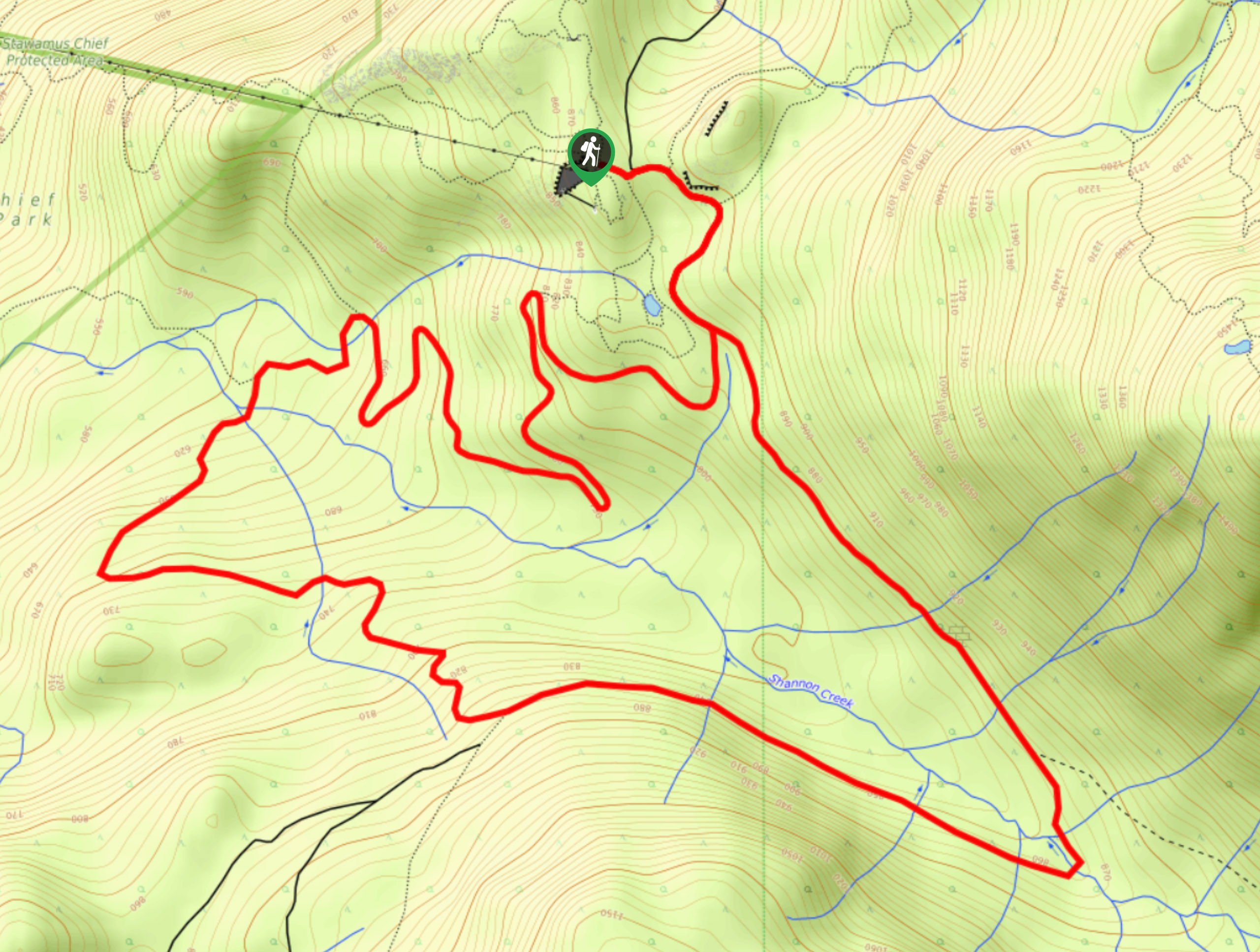
Shannon Basin Loop
The Shannon Basin Loop is a 5.9mi lollipop trail near Squamish, BC, that sets out from the top…
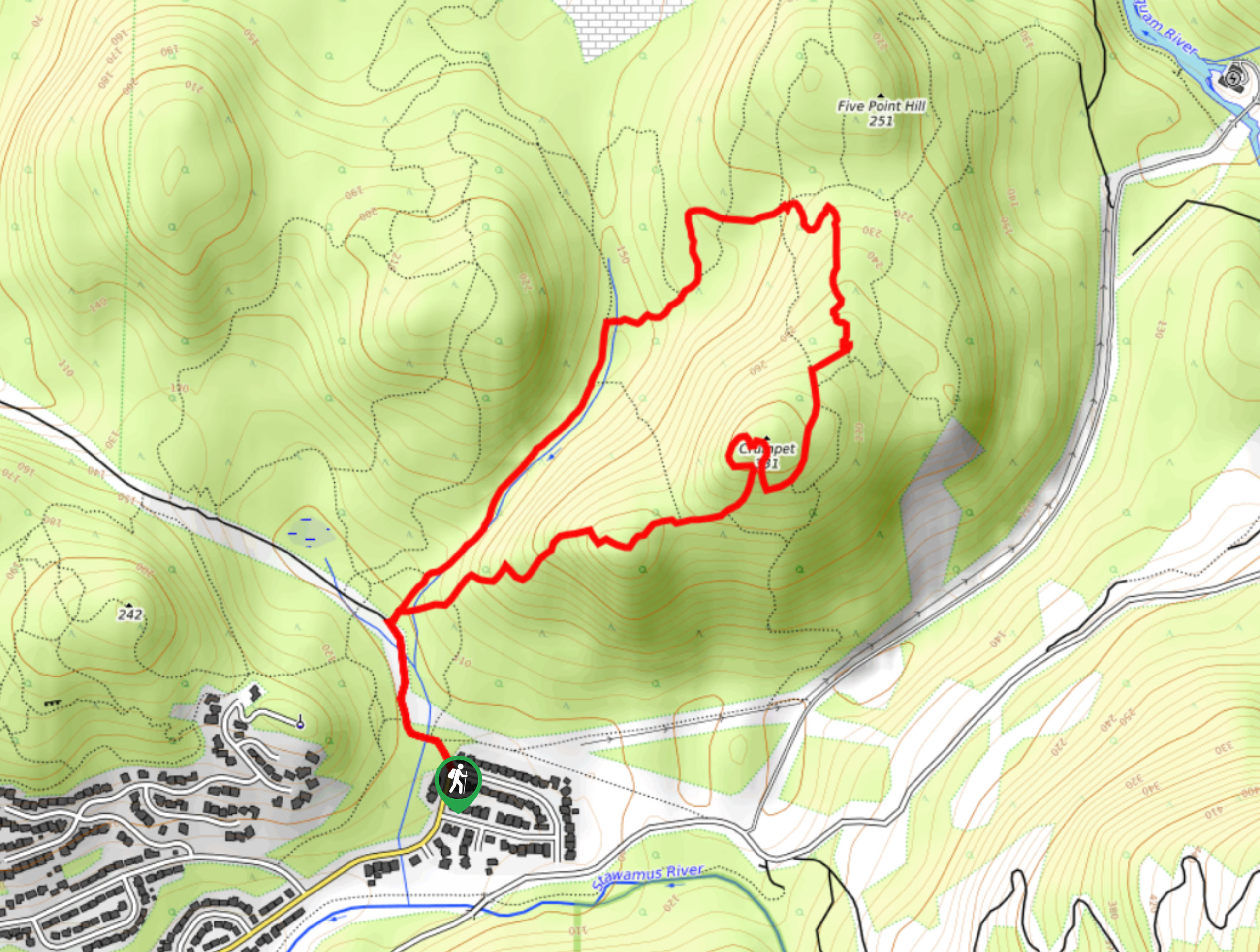
Mount Crumpit Trail
If you are into short hikes that will get your heart pumping and also have amazing mountain views, then the…
Skyline Ridge Trail
The Skyline Ridge Trail is a challenging 12.5mi uphill hiking route near Squamish that sets out from Stawamus…
Comments