
Demon Ridge Trail
View Photos
Demon Ridge Trail
Difficulty Rating:
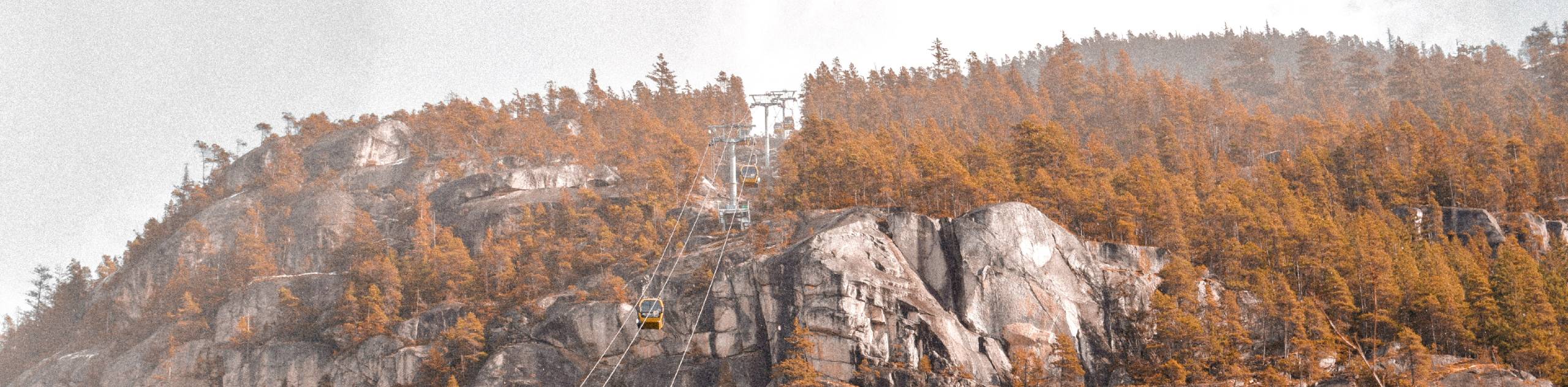
Hiking the Demon Ridge Trail is a difficult but rewarding experience that will take hikers up to some of the most scenic views in the Squamish Area. Along the trail you will traverse a variety of terrain, including dense forests, rocky trails, and sections of swamp, before reaching the top of Demon Ridge. From there, you will have awesome views overlooking nearby mountains and lakes.
Getting there
To reach the Demon Ridge trailhead from the Sea to Sky Gondola, drive north on BC-99 for 1.0mi and turn right onto Mamquam River FSR. After 4.3mi, turn left and continue on for 8.2mi You will find the trailhead on your right.

About
| When to do | July-September |
| Backcountry Campsites | No |
| Pets allowed | No |
| Family friendly | No |
| Route Signage | Average |
| Crowd Levels | Low |
| Route Type | Out and back |
Demon Ridge Trail
Elevation Graph
Weather
Demon Ridge Trail Description
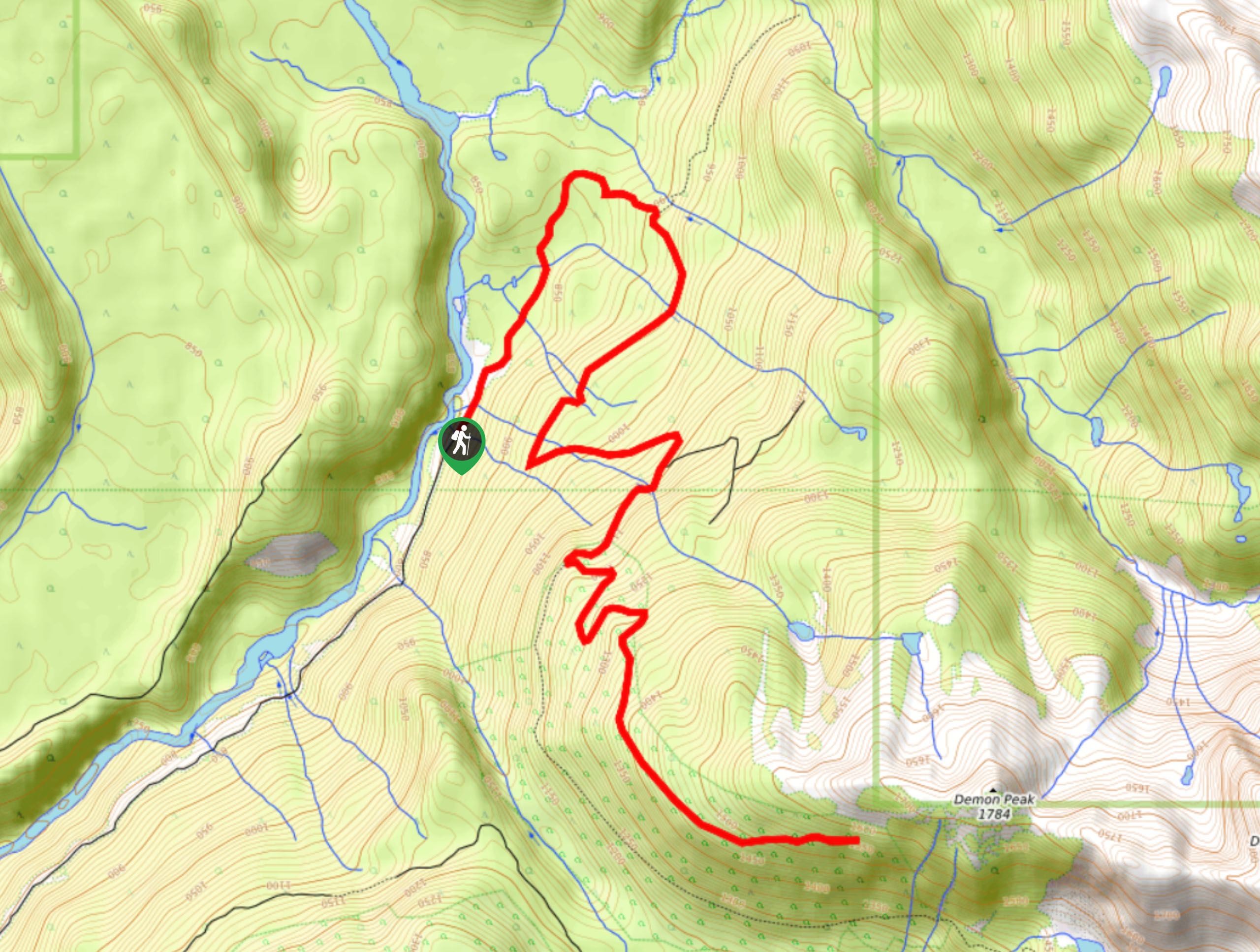
The Demon Ridge Trail is a fantastic hiking route in the Squamish area that climbs uphill to Demon Ridge, where hikers will have one of the most spectacular views of the surrounding area. The lower portion of the route utilizes the Watersprite Lake Trail before branching off for the push up the ridge. This 9.9mi out-and-back route is fairly steep and rocky, packing an elevation gain of 3199ft along the length of the trail. Hikers should make sure to wear proper hiking footwear and bring additional gear such as microspikes or crampons, as upper sections of the trail can be covered in snow and ice well into the summer.
Initially, the route climbs uphill through the dense tree cover along a forest service road, before crossing a boardwalk that spans a section of swamp. After climbing further uphill, the trail becomes more rocky and technical before once again transitioning onto an old logging road. Reaching the top of the ridge, you will be greeted by amazing views overlooking the surrounding area. From the various vantage points, you will be able to make out nearby mountains such as Dreadnaught and Martin Peaks to the east and south respectively, as well as the charming Watersprite Lake below. This hike is a steep climb that will challenge your fitness and reward you with some truly spectacular views.
Similar hikes to the Demon Ridge Trail hike
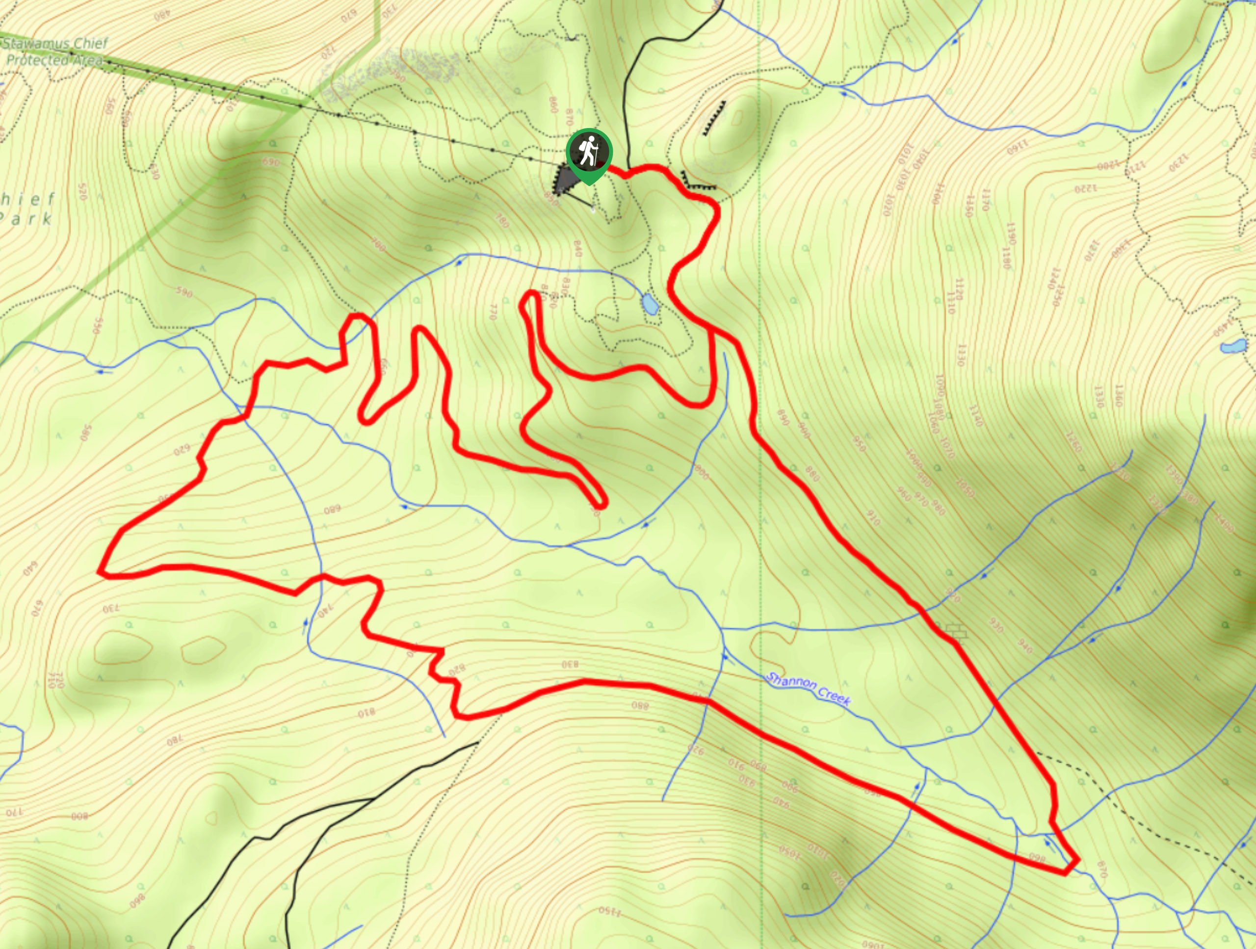
Shannon Basin Loop
The Shannon Basin Loop is a 5.9mi lollipop trail near Squamish, BC, that sets out from the top…
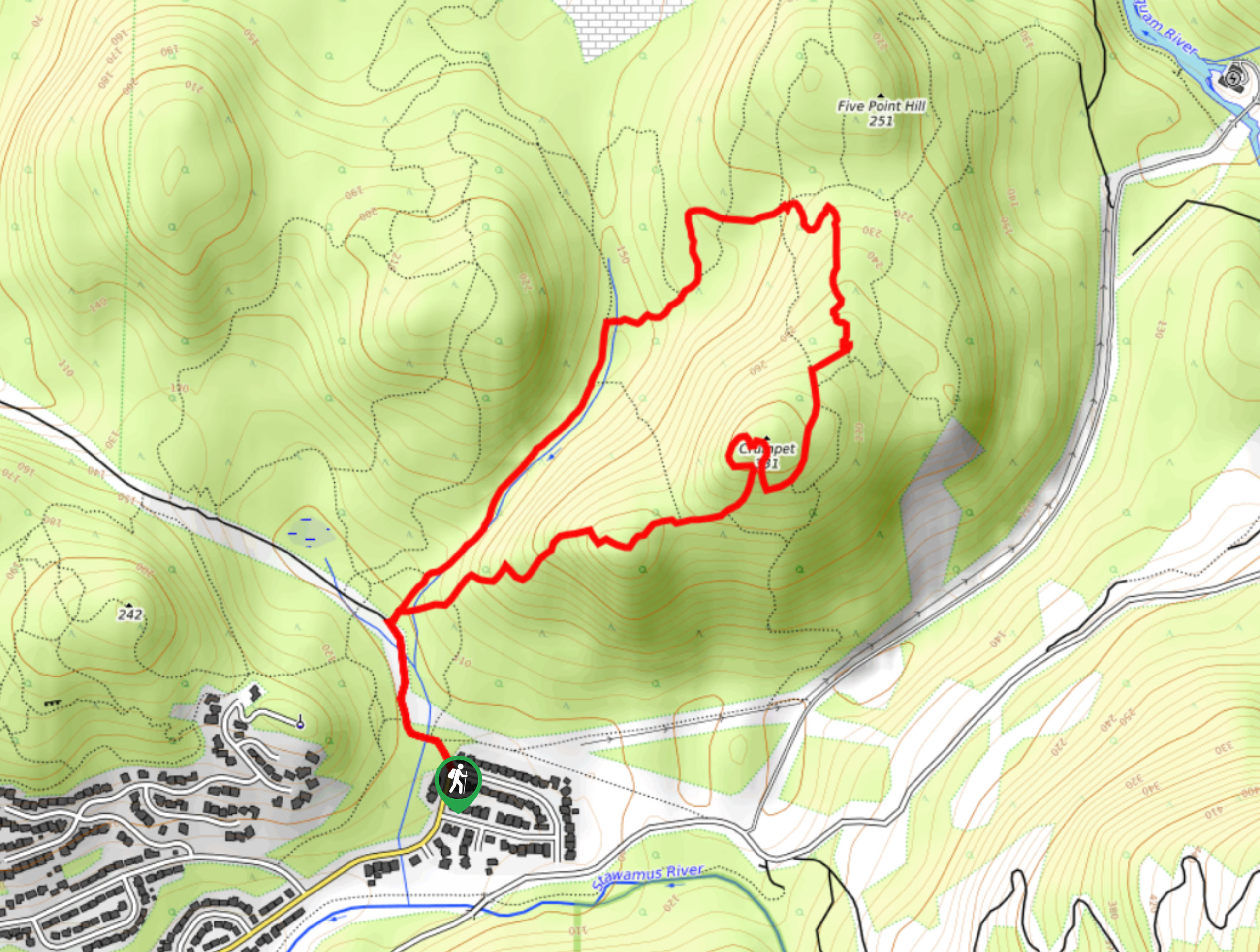
Mount Crumpit Trail
If you are into short hikes that will get your heart pumping and also have amazing mountain views, then the…
Skyline Ridge Trail
The Skyline Ridge Trail is a challenging 12.5mi uphill hiking route near Squamish that sets out from Stawamus…
Comments