Skyline Ridge Trail
View Photos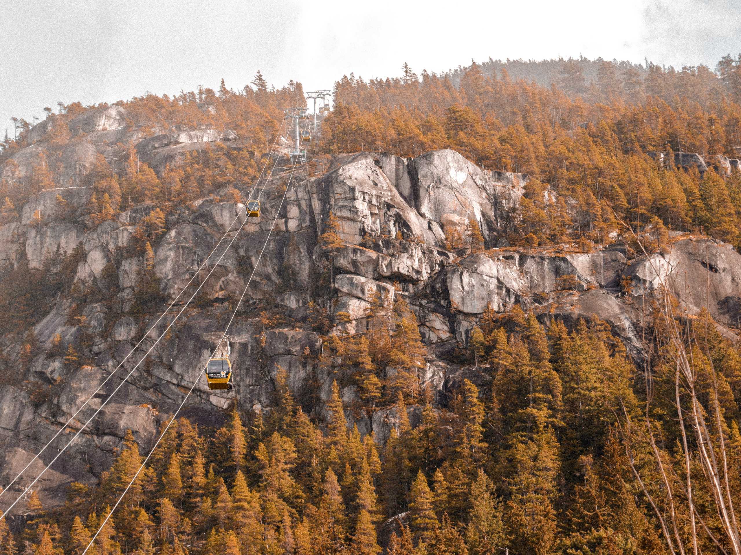
Skyline Ridge Trail
Difficulty Rating:
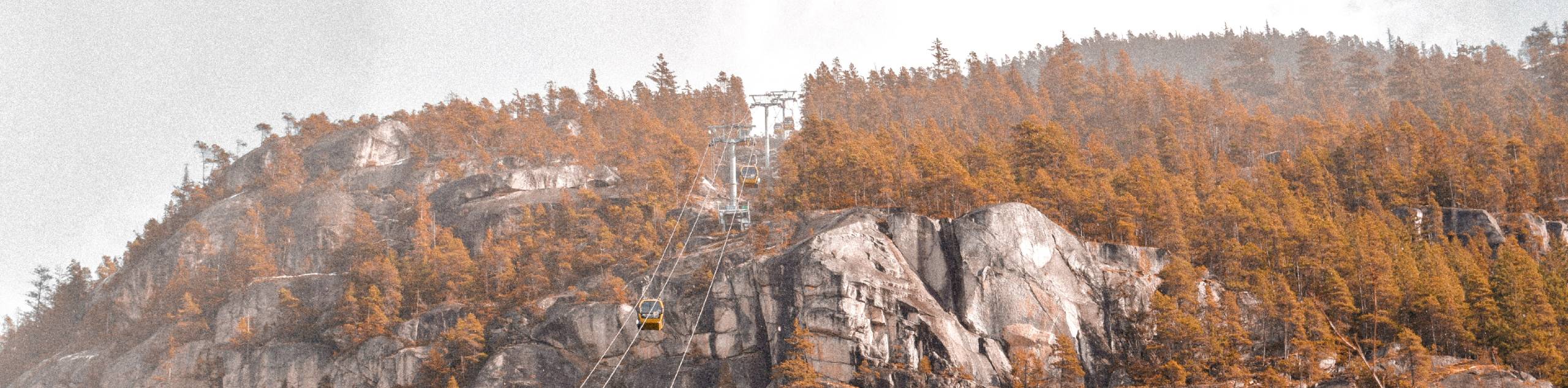
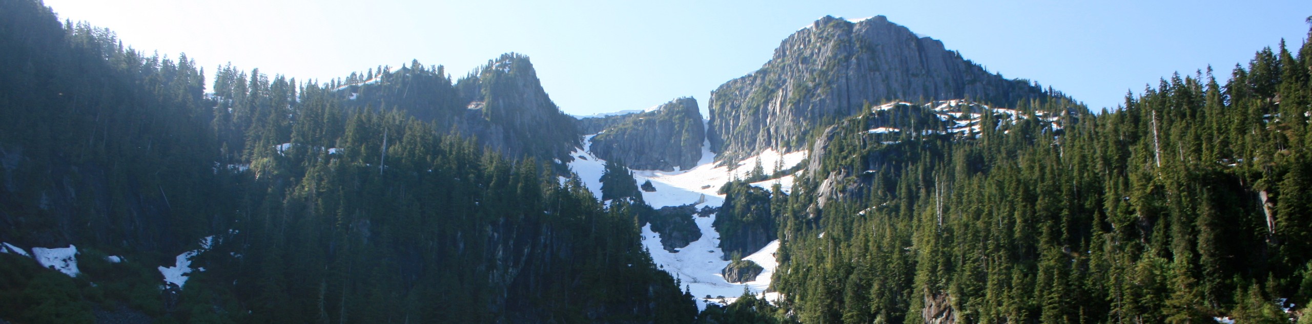
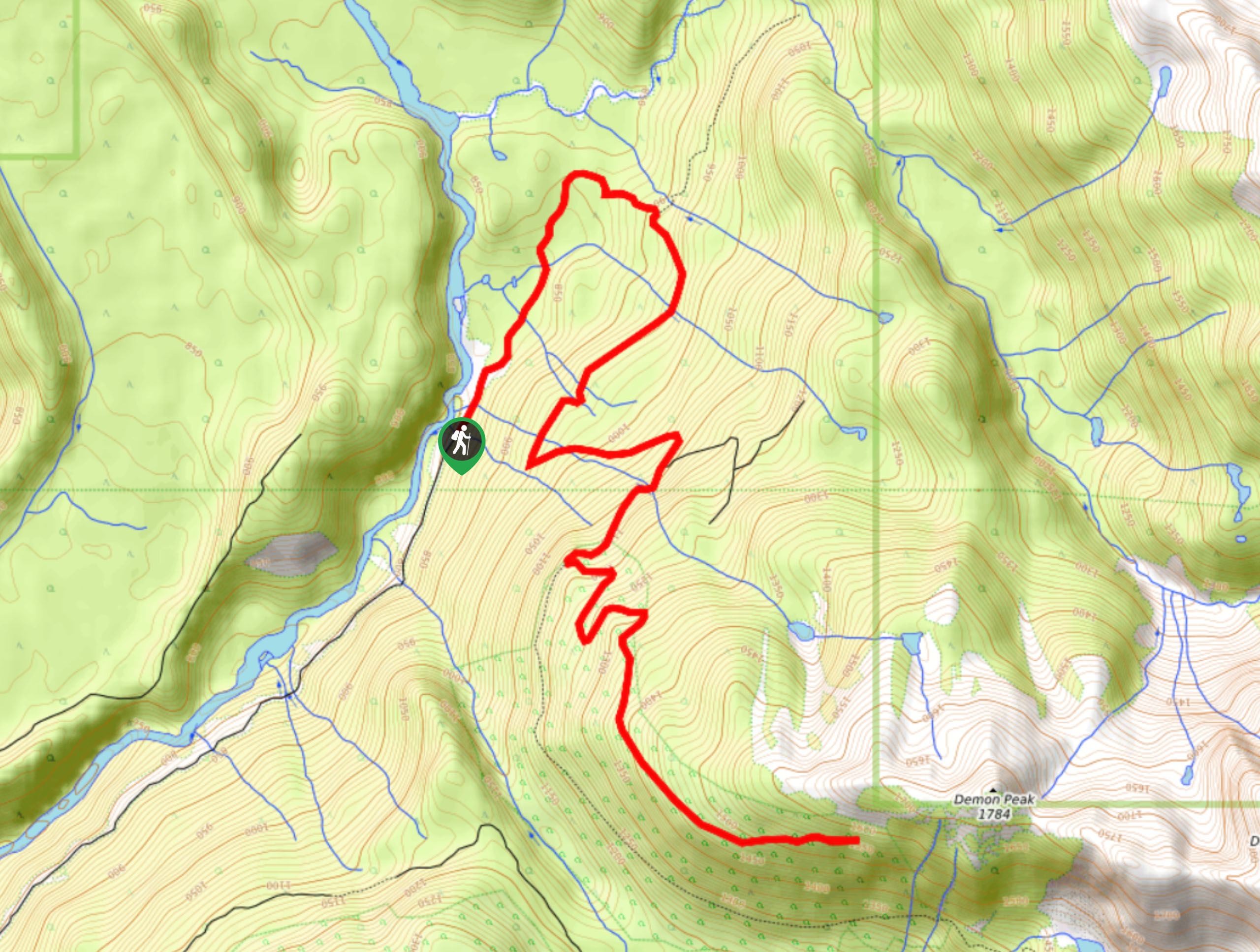
The Skyline Ridge Trail is a challenging 12.5mi uphill hiking route near Squamish that sets out from Stawamus Chief Provincial Park and climbs along an undulating ridge to provide amazing views over the expanse of Howe Sound, as well as the nearby granite monolith known as “The Chief”. This trail has a good variation in its terrain and an elevation gain of 5138ft, making it a difficult but rewarding climb. This hiking route is perfect for those who like to push themselves while out on the trail.
Getting there
To get to the parking area for the Skyline Ridge Trail from Squamish, drive south on BC-99 S and make a left turn off the highway just before the Sea to Sky Gondola. Continue for 1640ft and take the first exit on the roundabout to reach the parking lot.

About
| When to do | June-October |
| Backcountry Campsites | Stawamus Chief Campground |
| Pets allowed | No |
| Family friendly | No |
| Route Signage | Average |
| Crowd Levels | Moderate |
| Route Type | Out and back |
Skyline Ridge Trail
Elevation Graph
Weather
Skyline Ridge Trail Description
The Skyline Ridge Trail sets out from Stawamus Chief Provincial Park near Squamish and initially climbs up an old logging road before transitioning to a steep uphill trek along the ridge. A gorgeous hiking route with some amazing views of Howe Sound, the Skyline Ridge Trail is an all-day hike due to the length and intensity of the climb. The trail itself is a mix of overgrown logging roads, well-maintained dirt trails, steep uphill climbs, and rocky/root-covered paths that will leave you needing to soak your feet after its completion. If you are looking for a challenging but rewarding full-day hike from Squamish, then the Skyline Ridge Trail should definitely be on your radar.
Similar hikes to the Skyline Ridge Trail hike
Beth Lake
The 10.7mi trek to Beth Lake will take hikers along an easy to navigate service road through the…
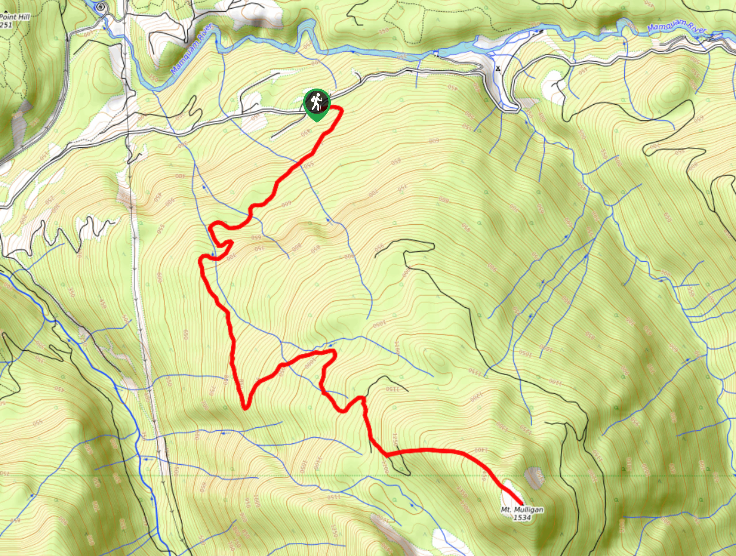
Mount Mulligan Trail
Hiking along the Mount Mulligan Trail is a difficult affair due to the steep incline of the route, but this…
Demon Ridge Trail
Hiking the Demon Ridge Trail is a difficult but rewarding experience that will take hikers up to some of the…
Comments