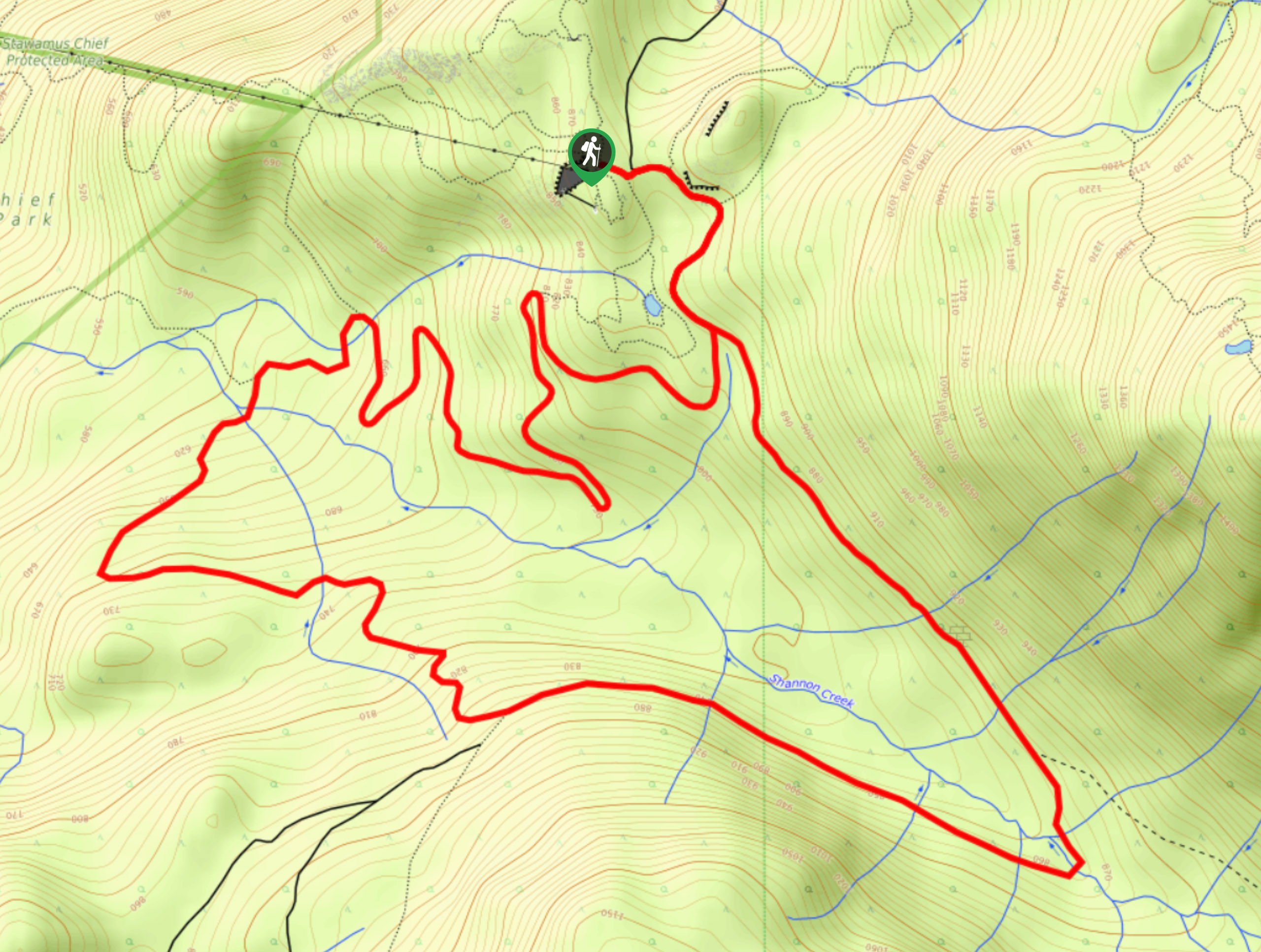
Slhanay Peak Trail
View Photos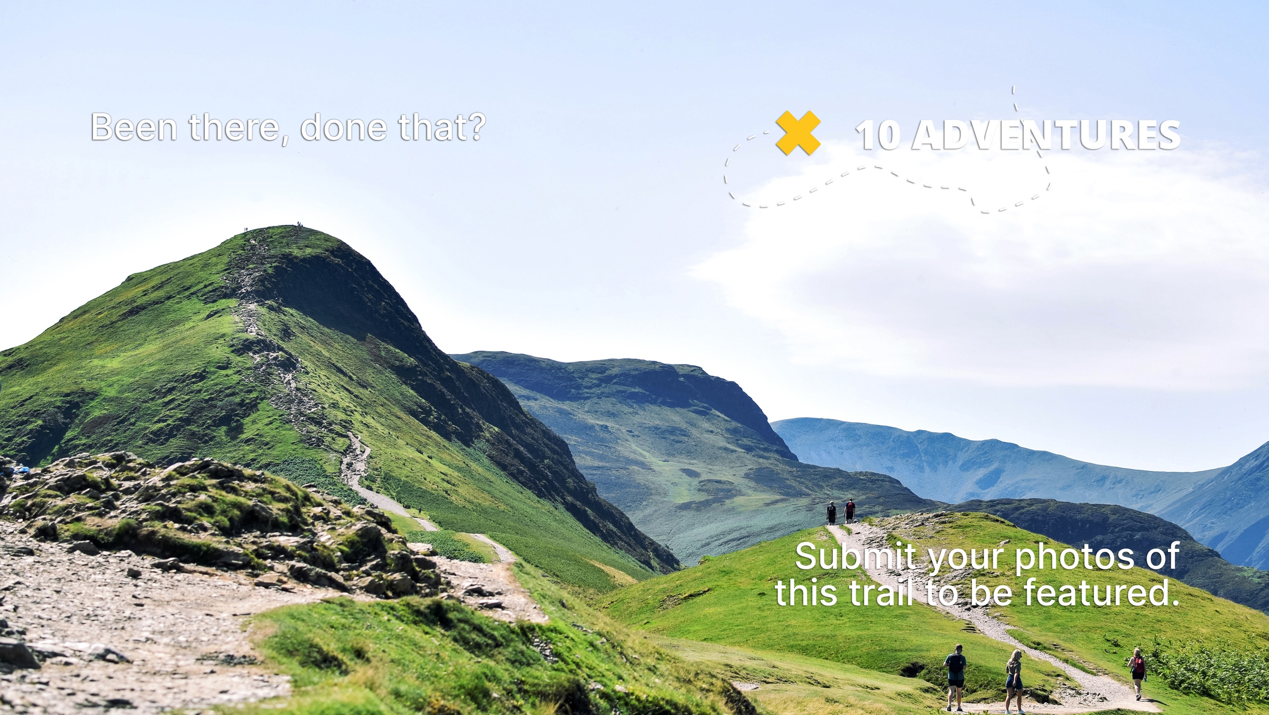
Slhanay Peak Trail
Difficulty Rating:
The Slhanay Peak Trail is a steep uphill climb near Squamish that will take hikers up a rugged peak for spectacular views over the surrounding area. Hikers will climb through the forest and visit Tony’s Lookout before continuing along the trail to reach the summit. Whether you are attempting this hike for the amazing views or to get a good workout in, this trail makes for a great half-day hiking option if you are in the Squamish area.
Getting there
To reach the Slhanay Peak Trail from the Sea to Sky Gondola, drive north on BC-99 for 1.0mi and turn right onto Mamquam River FSR. COntinue on for 0.9mi, where you will find the trailhead on the right.

About
| When to do | May-November |
| Backcountry Campsites | No |
| Pets allowed | Yes - On Leash |
| Family friendly | No |
| Route Signage | Poor |
| Crowd Levels | Low |
| Route Type | Lollipop |
Slhanay Peak Trail
Elevation Graph
Weather
Slhanay Peak Trail Description
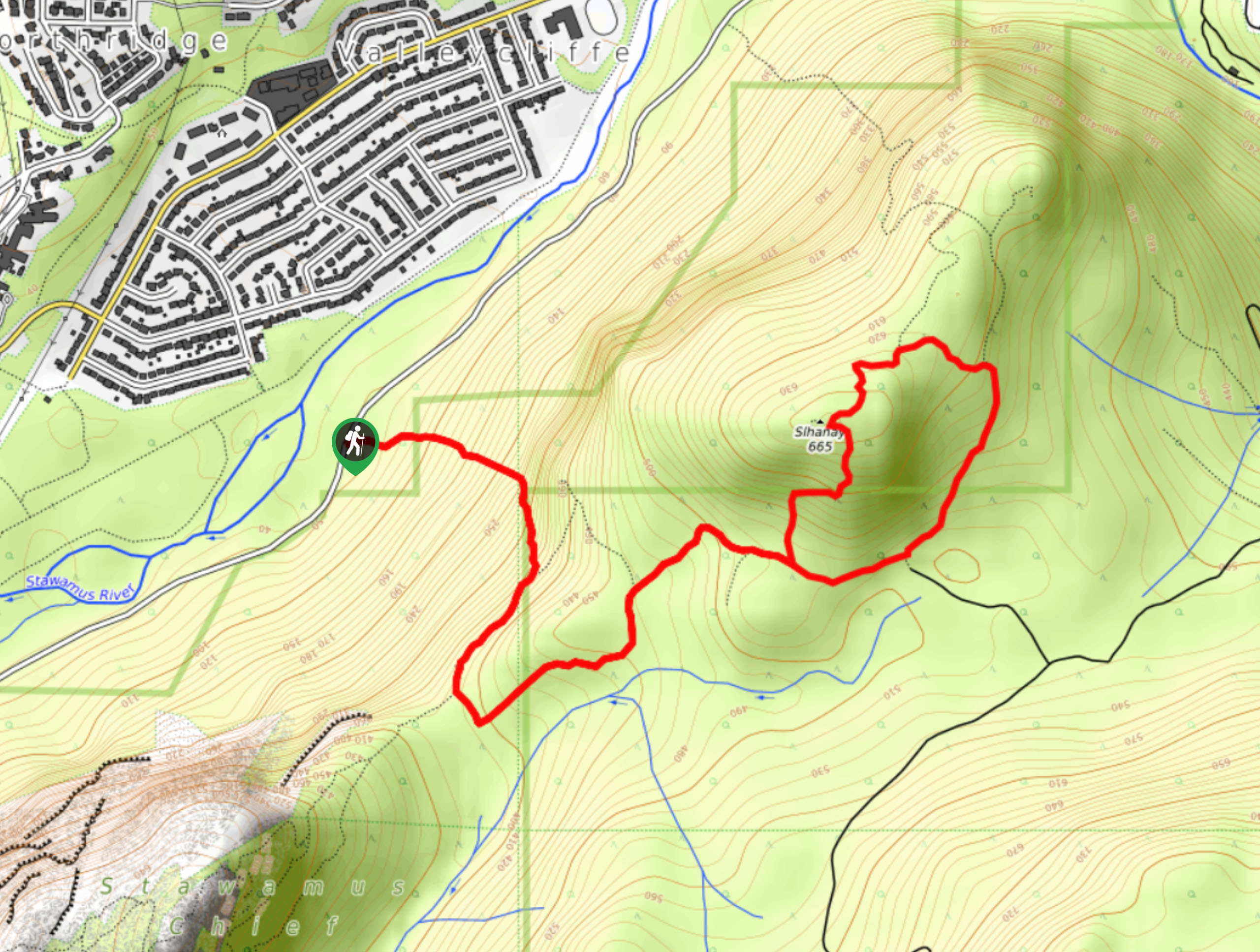
The Slhanay Peak Trail is a 5.8 kilometre lollipop trail in Stawamus Chief Provincial Park that travels up a steep slope to several scenic lookouts along the trail. Hikers should make sure to bring a trail map or a GPS along for this hike, as there are several trails that branch off from the main route and it is not always clear as to which path is the correct one. Additionally, make sure to wear sturdy hiking footwear and pack lots of water, as the trail is very steep and physically demanding.
The route sets off from Mamquam River FSR and climbs uphill through the dense tree cover at a steep grade. Roughly ⅓ of the way into the hike you will come to Tony’s lookout, which offers the most scenic views along the route and encompasses a sightline across the Squamish Valley and the iconic Stawamus Chief. Hikers will then continue along a rugged loop through the intermittent tree cover and eventually make their return along the same route. The steep incline along this short hiking route makes it ideal for building fitness, and it doesn’t hurt that the views are also spectacular.
Similar hikes to the Slhanay Peak Trail hike
Four Lakes Trail
The Four Lakes Trail is a 4.5mi hiking route that travels through Alice Lake Provincial Park on a…
Shannon Basin Loop
The Shannon Basin Loop is a 5.9mi lollipop trail near Squamish, BC, that sets out from the top…
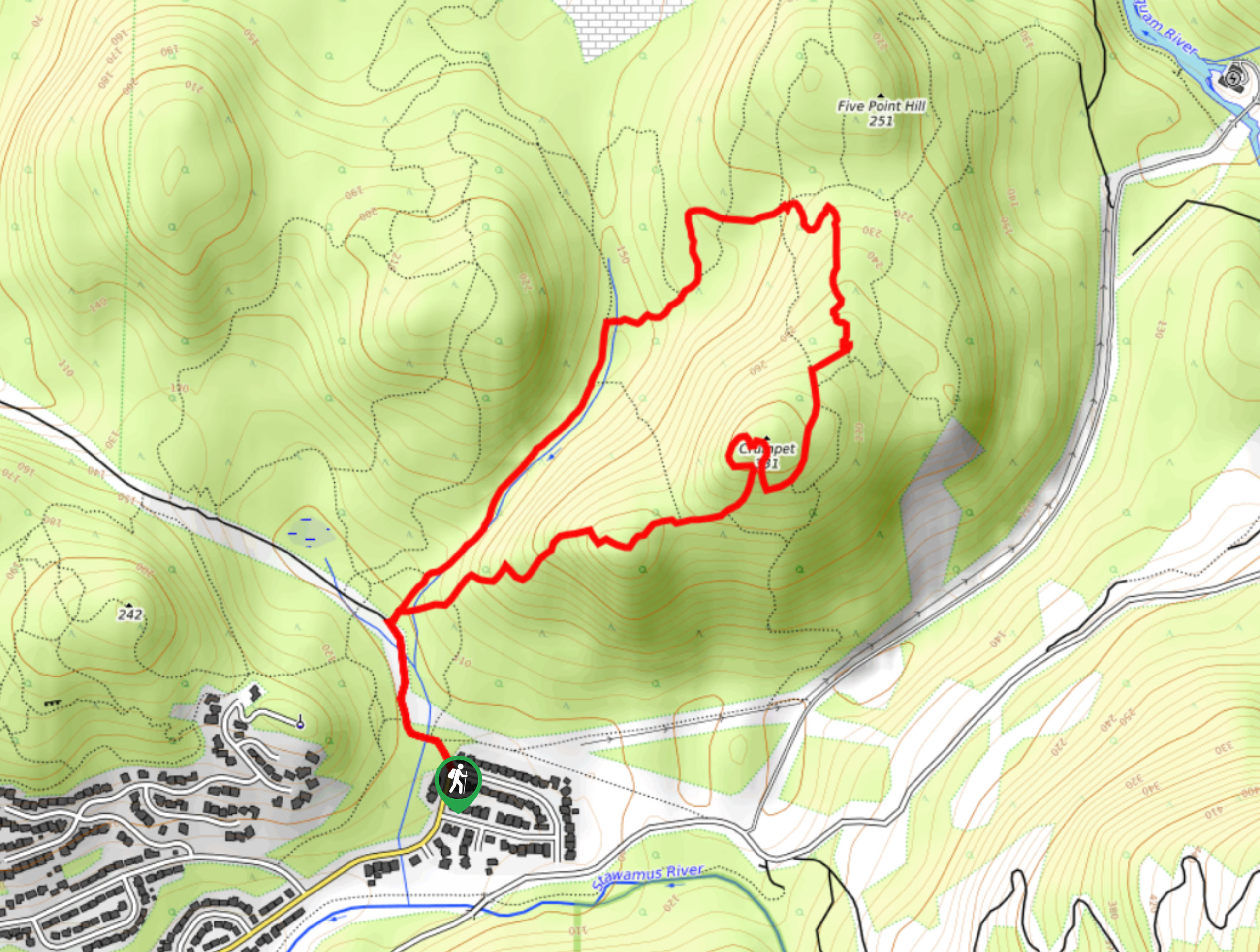
Mount Crumpit Trail
If you are into short hikes that will get your heart pumping and also have amazing mountain views, then the…
Comments