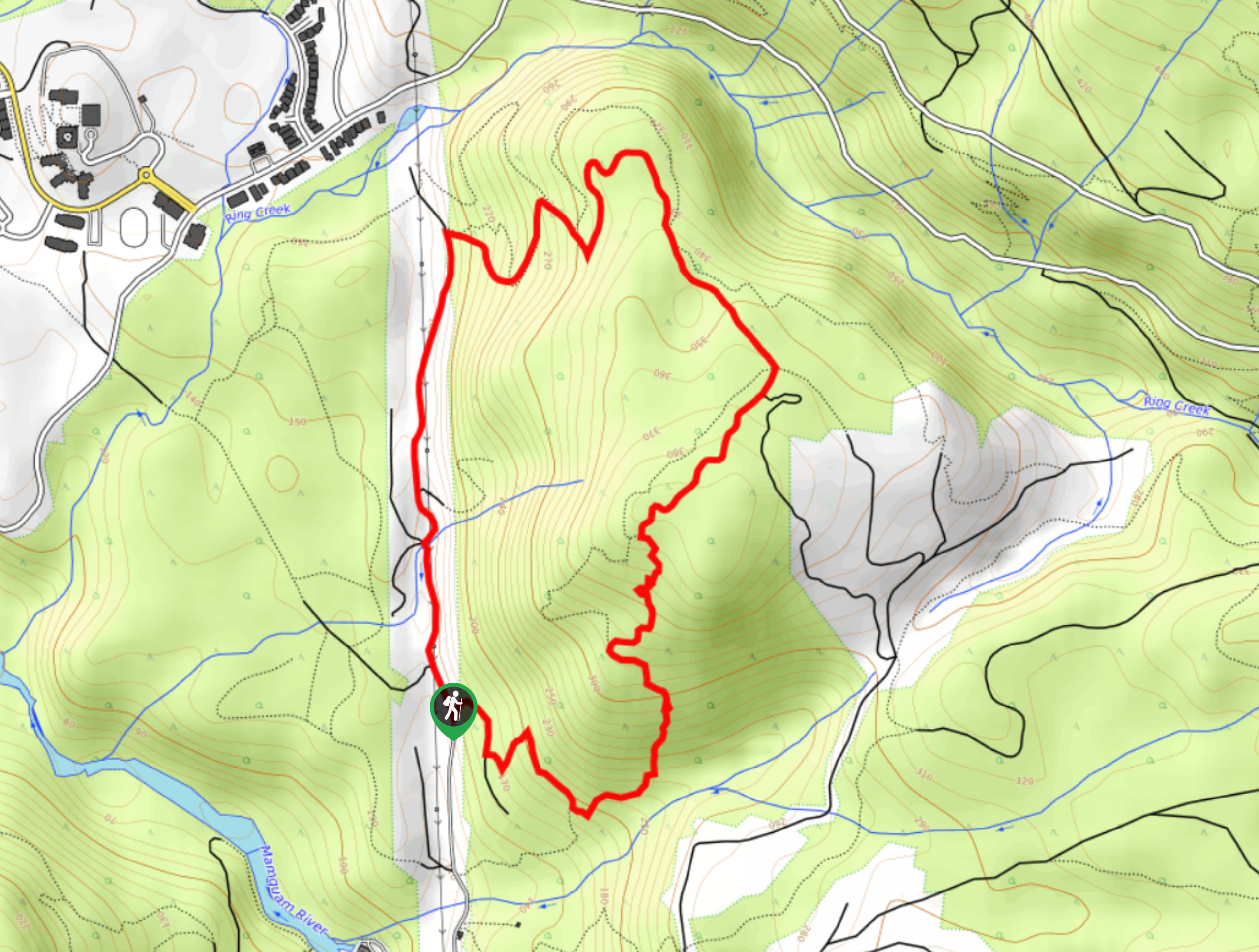
Mamquam Trail
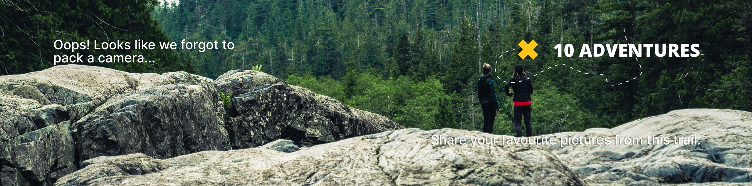
View Photos
Mamquam Trail
Difficulty Rating:
The Mamquam Trail is a 3.0mi hiking loop that can be found just east of Squamish. Mainly used as a mountain biking route, the trail offers some nice views of the Squamish Valley and its surrounding mountains. As it is a multi-use trail, remember to share the path and allow bikers or other hikers to safely pass.
Getting there
To reach the trailhead for the Mamquam Trail from the Sea to Sky Gondola in Squamish, drive north on BC-99 N and turn right after 1.0mi onto Mamquam River FSR. After 2.3mi, turn left and continue on for 1.3mi. Just before Mamquam Falls you will find a parking area on your left. From here, continue across the falls on foot and down the road to the right, following it north along the powerline road until you reach the trailhead.

About
| When to do | May-November |
| Backcountry Campsites | No |
| Pets allowed | Yes |
| Family friendly | No |
| Route Signage | Average |
| Crowd Levels | Moderate |
| Route Type | Circuit |
Mamquam Trail
Elevation Graph
Weather
Mamquam Trail Description
The Mamquam Trail is a short hike just east of Squamish that sets out on a forested trail with some small changes in elevation and a good variation in terrain. Primarily used as a mountain biking track, this trail does have some nice views looking out over the Squamish Valley and its nearby mountain peaks. Hikers using the trail should be aware of passing bikers and step aside to allow them to pass safely. If you find yourself with a few hours of free time, the Mamquam Trail is a good way to explore the woodlands around Squamish.
Similar hikes to the Mamquam Trail hike
Four Lakes Trail
The Four Lakes Trail is a 4.5mi hiking route that travels through Alice Lake Provincial Park on a…
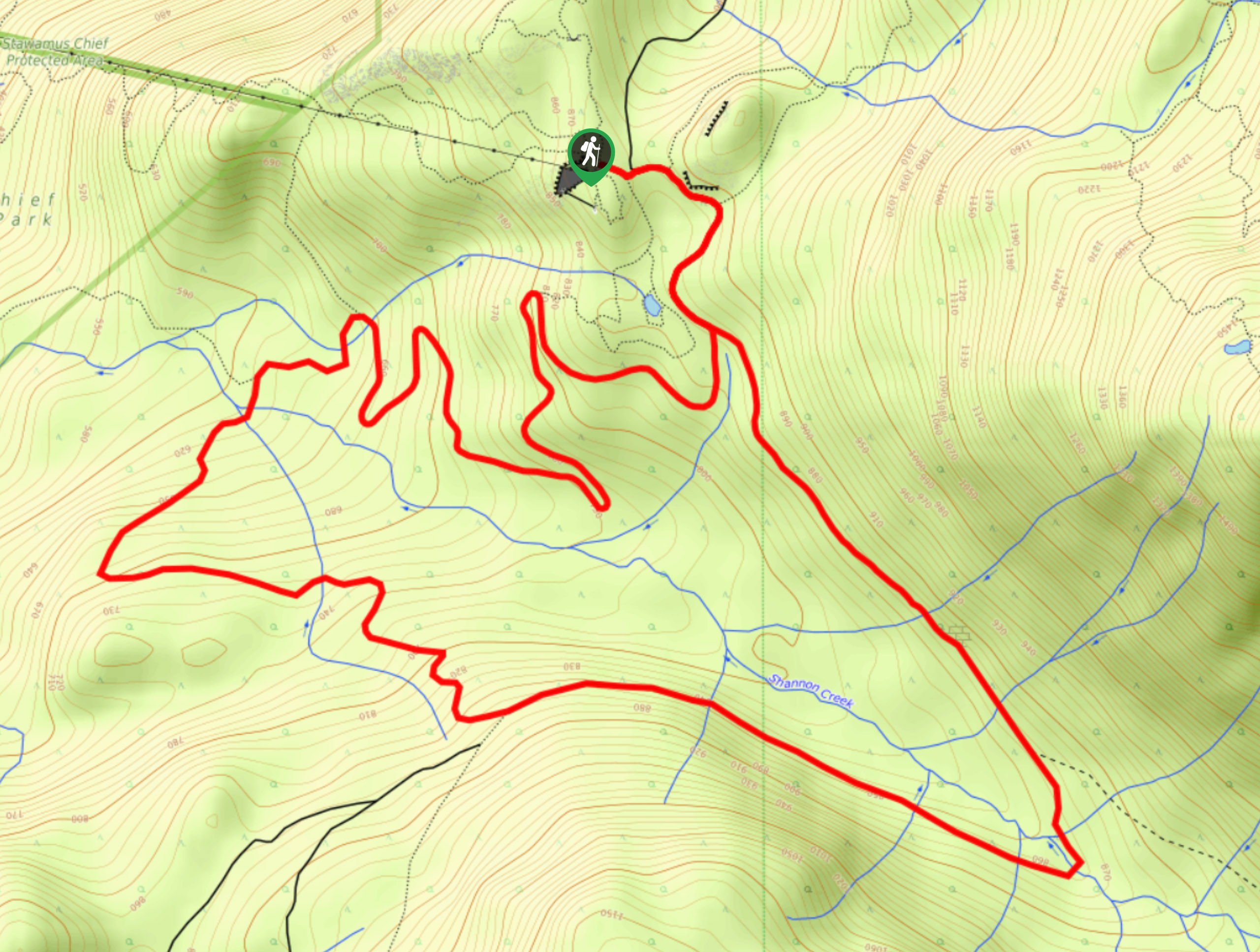
Shannon Basin Loop
The Shannon Basin Loop is a 5.9mi lollipop trail near Squamish, BC, that sets out from the top…
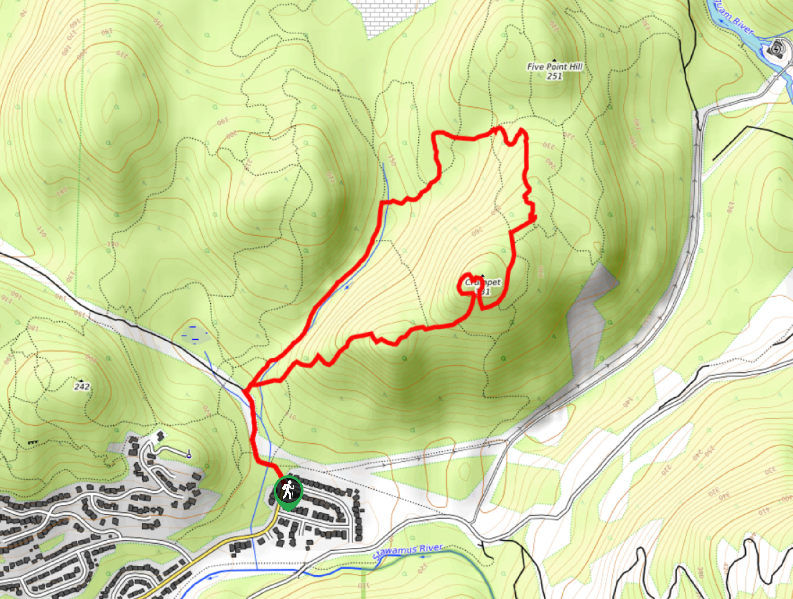
Mount Crumpit Trail
If you are into short hikes that will get your heart pumping and also have amazing mountain views, then the…
Comments