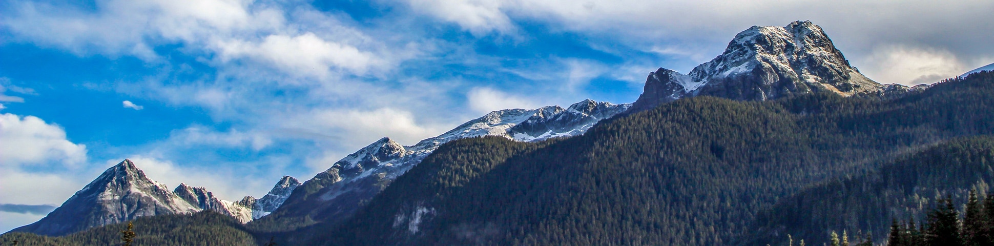
Watersprite Lake hike
View PhotosWatersprite Lake hike
Difficulty Rating:
Discover what was once considered the hidden gem of the Squamish area on the Watersprite Lake hike. Here, you’ll find a draw-dropping lake with pristine, turquoise waters, surrounded by picturesque peaks.
Getting there
A 4×4 vehicle is needed to reach the trailhead. Drive with caution. From Vancouver, take the Sea to Sky Highway (#99) north towards Squamish. Just beyond the parking lot for the Stawamus Chief, take your next right onto the Mamquam River Forest Service Road, go left over the next bridge. There is a pullout on your left. Keep driving and go right over another bridge. After the second bridge, there is a junction. Go left. At the 9.9mi point, you will come to a junction. You will see a candy cane-shaped vent here. Go left. Going right would take you to the old trailhead.

About
| When to do | June – September |
| Backcountry Campsites | No |
| Pets allowed | No |
| Family friendly | No |
| Route Signage | Average |
| Crowd Levels | Moderate |
| Route Type | Out and back |
Watersprite Lake
Elevation Graph
Weather
Route Description for Watersprite Lake
Start the Watersprite Lake hike from the yellow gate in the parking lot, then head onto the gravel road heading right. Keep an eye out once on the hill for a marker pointing you towards Watersprite Lake.
Watching the rocks for flags, head uphill until you reach the top of the peak. To your lower left, you’ll spot the Skookum Dam. Follow the trail as it bends right and flattens out, already rewarding you with beautiful mountain views directly in front of you.
Trail over a small debris field and follow the markings towards a dirt road, heading eastwards. You’ll cross over a wooden bridge. This is Skullhead Creek. Following the bridge, depending on the season, the trail can become very muddy.
Continue, passing over multiple creeks, until the path eventually drops down into the forest.
This part of the trail can be tricky with hidden roots and tricky sections. Soon, the trail moves uphill again, but the orange markers make it easy to follow.
At the next junction just past the treeline, you’ll head right towards Watersprite, Enjoy a quick, uphill climb through a bush trail, as the path opens up again.
At the next wooden bridge, cross over Skullhead Creek and let your legs take a break as the trail flattens out.
Cross over multiple creeks, continuing to follow the orange markers and the path will veer right, providing you the first glimpses of Atwell Peak off in the distance.
The trail will suddenly take a hairpin turn to the left and begin climbing uphill. There is another view of a prominent peak directly ahead of you as you climb up the hill.
From here, embark on a switchback to the right, enjoying the expansive views to your right. From here, the landscape gets interesting as you cross a creek and come to a small waterfall. Find a cliff face to your left and follow it, eventually reaching a small rockslide area.
From here, at the Prow Lookout, take in the breathtaking mountain views, where the Mamquam River, the Skookum Dam, and all the way to the City of Squamish can be seen. You can also see many mountains – Atwell Peak, Columnar Peak, Spire Peaks, Pyramid Peak, and even Sky Pilot Mountain to the south. Push forward along the trail as it turns east, down into a valley where you can spot the mountains surrounding Watersprite Lake before you.
Next, you’ll be faced with a tricky boulder field that you’ll have to pick your way across. Take your time and follow the markers.
The trail then opens back up again, but can be slippery, muddy and filled with obstacles. Again, take your time. But know you are in the home stretch!
Cross over one final debris chute and you’ll spot the original Watersprite Trail, but continue up the chute to the top and to your left, you’ll find a path leading to the Watersprite Lake Cabin. If you aren’t staying the night, continue straight to the lake.
Finally, you’ve made it to Watersprite Lake! Find mesmerizing, crystal-clear water surrounded by Dreadnought Peak (6542ft) to the left, Watersprite Tower (5938ft) straight across, and Martin Peak (6158ft) to the right.
Spend time resting at Watersprite Lake, snapping photos and just soaking in the view. When you’re ready to make the hike back, retrace your steps back to your car.
Insider Hints
The path on the Watersprite Lake hike can be muddy. Wear either rain boots or waterproof hiking boots depending on your preference. Note that the trail can be challenging, so the more supportive footwear, the better.
There is also a 10-person cabin at the lake available for reservation by British Columbia Mountaineering Club members. Make sure you book far in advance if you want a spot!
You will require a 4×4 or AWD vehicle with good clearance to reach the trailhead.

Similar hikes to the Watersprite Lake hike
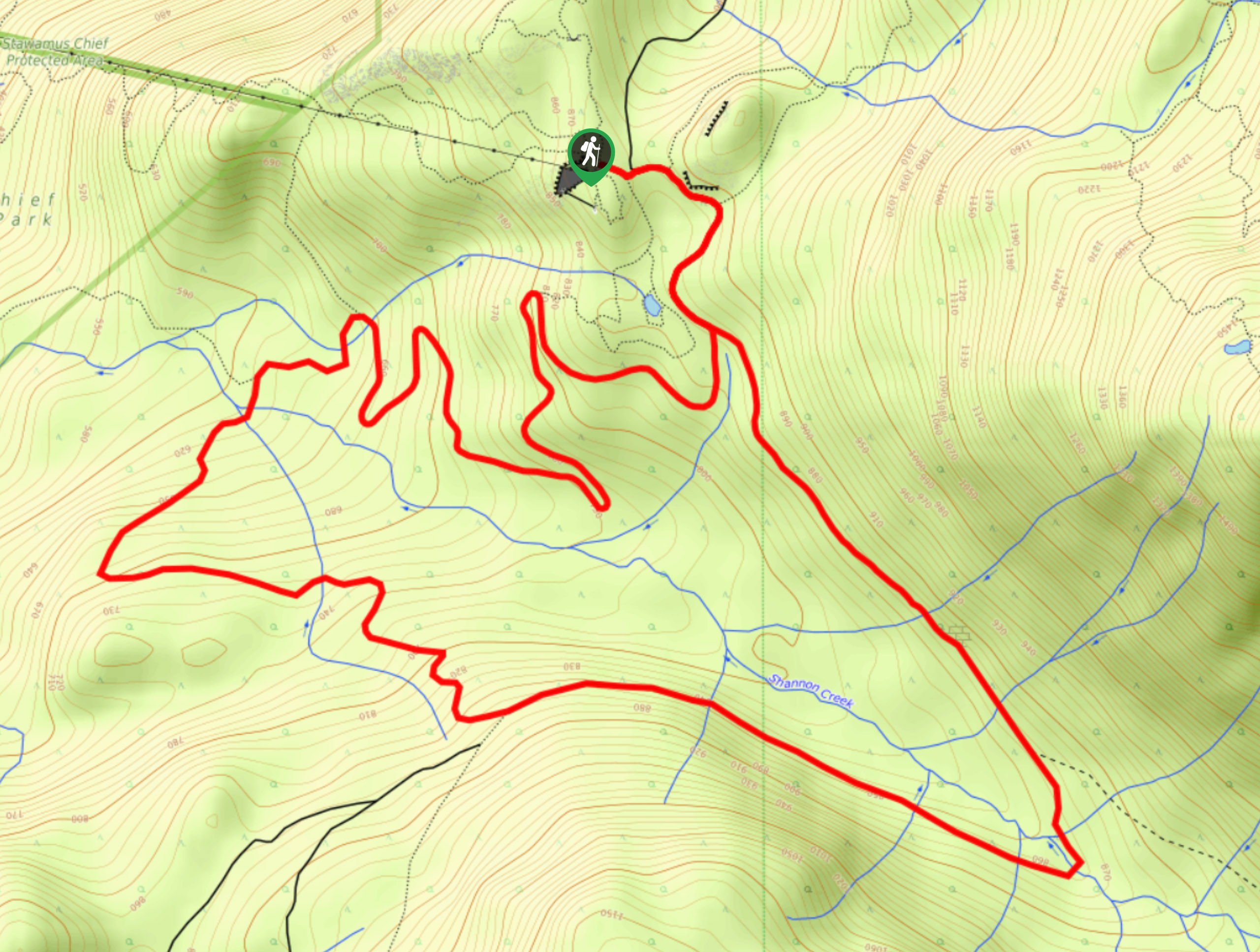
Shannon Basin Loop
The Shannon Basin Loop is a 5.9mi lollipop trail near Squamish, BC, that sets out from the top…
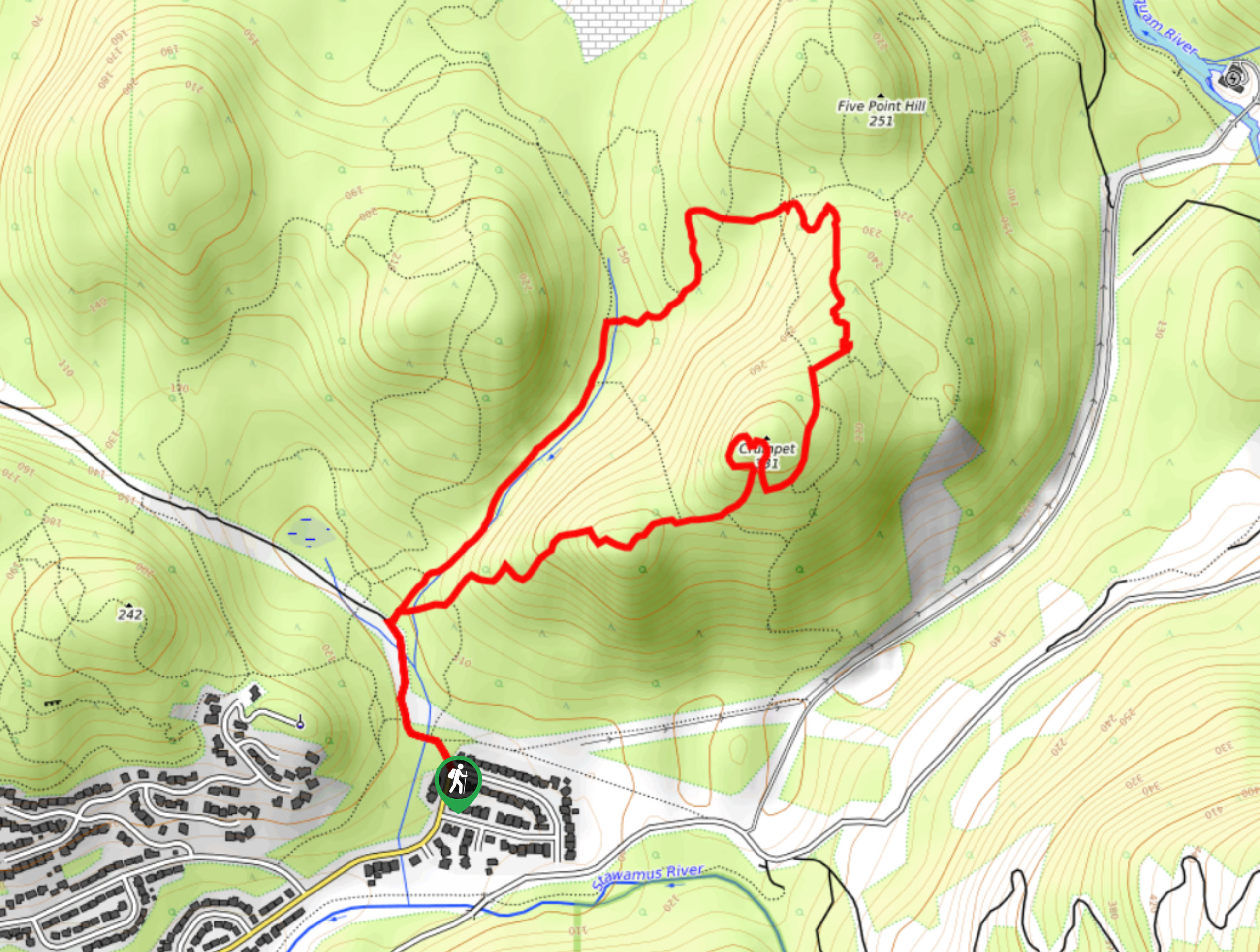
Mount Crumpit Trail
If you are into short hikes that will get your heart pumping and also have amazing mountain views, then the…
Skyline Ridge Trail
The Skyline Ridge Trail is a challenging 12.5mi uphill hiking route near Squamish that sets out from Stawamus…
Fur Dates 4 years ago
The lake is spectacular. Plenty of spots to sit and enjoy the beauty. Worthwhile trip that requires lots of time and effort.
Florian L. 5 years ago
Better do it during summer or spring! Water is very cold but great for a dip. Be sure to bring lots of drinking water and food to make the most of your day there.
loneranger 5 years ago
Beautiful place. Nice and splendid scenery. Always a good memory.
Amethyst S. 5 years ago
This hike is pretty long, with lots of interesting views, but there was some boring sections. The lake was worth the trip.
Wade Atkinson 5 years ago
Nice to breathe some fresh air once in a while. Wonderfully maintained trails. A bit slippery in some spots but doable.
Niamh Gorget 5 years ago
Awe-inspiring mountain peaks and serene forest. Very calming atmosphere in the morning. Hard not to love it!
EthelB. 5 years ago
Moderate hike with nice views of the lake and surrounding mountains.
hoshiuemura 5 years ago
Moderate hike not because of its elevation gain but because of the rocks, roots, and boulders along the path. It wasn't an easy hike, but it wasn't extremely difficult either. Overall, the view of the Lake is jaw-dropping and worth seeing.
verdanaf. 5 years ago
Throughout the hike, there are some gradual incline and some steep sections. It rewards you with terrific views of Castle Towers Mountain and surrounding valleys. Trekking poles would really be helpful, but not required.
Sonya Strut 5 years ago
Microspikes and Trekking Poles are recommended because of the ice on the trail. The view of the frozen lake is absolutely stunning. 10/10 would recommend.