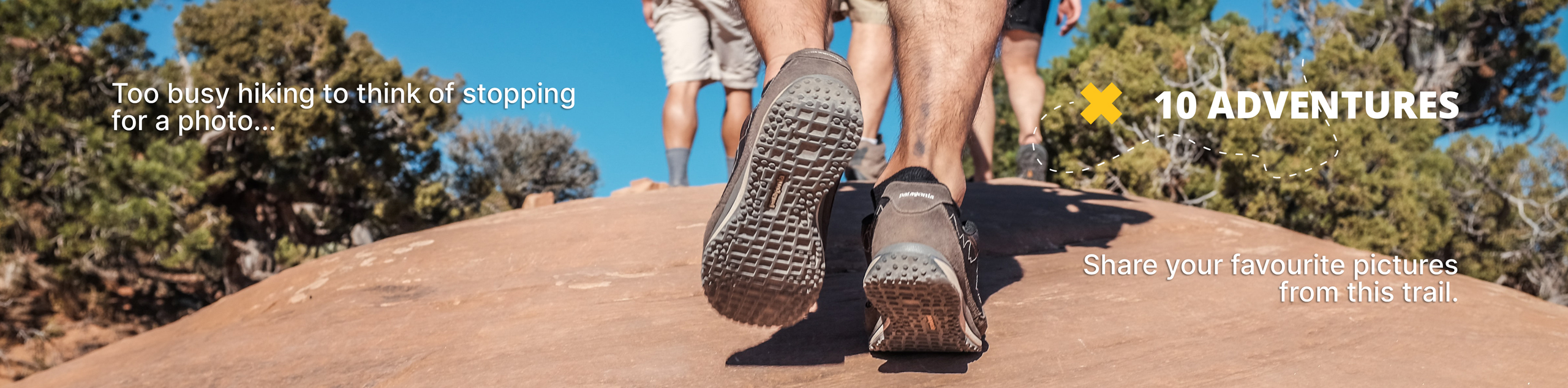
Way of the Mono Trail
View Photos
Way of the Mono Trail
Difficulty Rating:
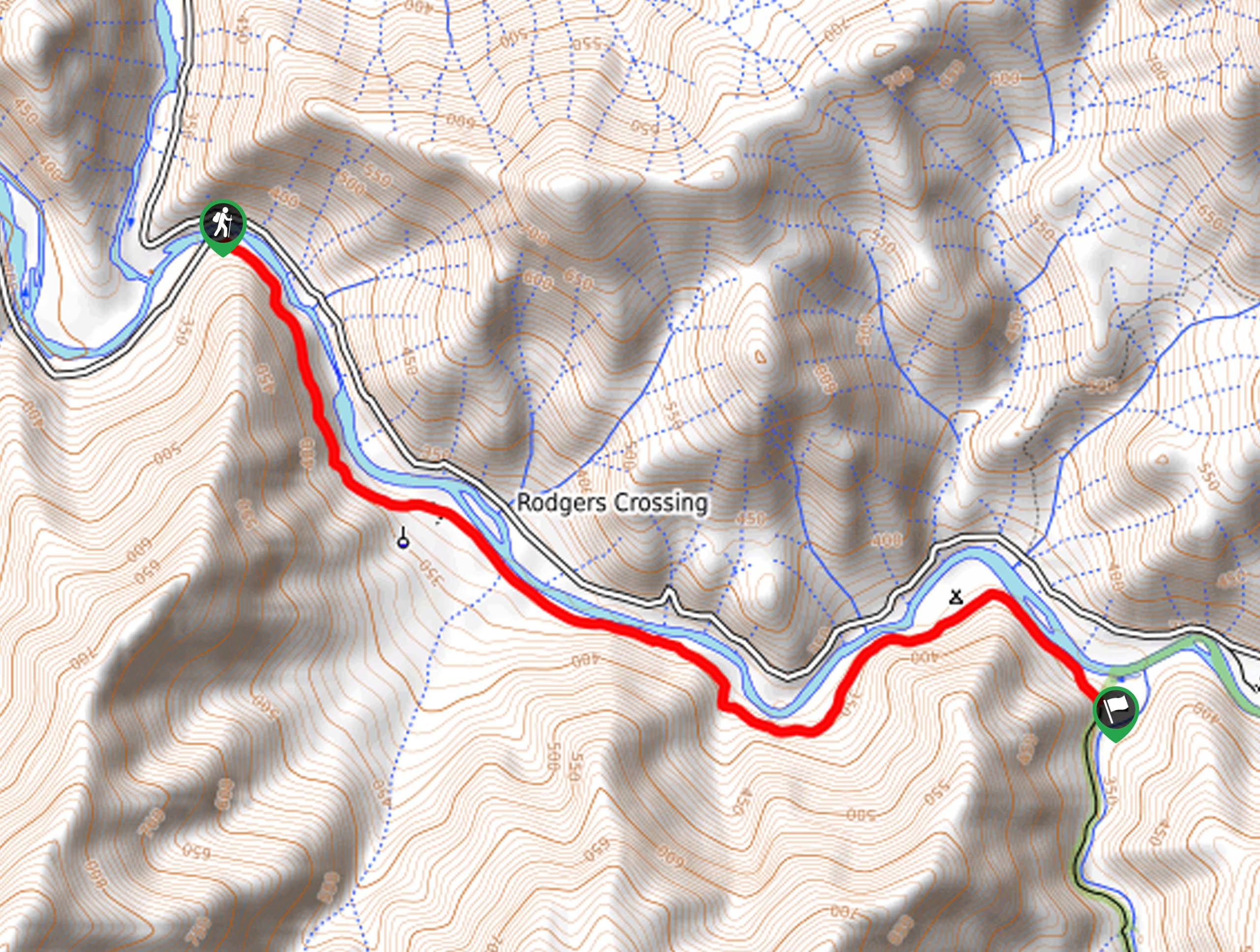
The Way of the Mono Trail is an awesome adventure above Bass Lake in the Sierra National Forest. Wander through mixed conifers and atop granite slabs to an epic overlook of the alpine lake and High Sierra.
Getting there
The trailhead is located off Road 222.

About
| Backcountry Campground | No |
| When to do | Year-round |
| Pets allowed | Yes - On Leash |
| Family friendly | Yes |
| Route Signage | Average |
| Crowd Levels | Moderate |
| Route Type | Out and back |
Way of the Mono Trail
Elevation Graph
Weather
Way of the Mono Trail Description
Open year-round and accessible; this route is an excellent hiking option for those seeking a relaxing, scenic adventure for the whole family. Make sure your camera is charged as this trek exhibits epic views and countless opportunities. Note that granite is extremely slippery after rainfall, so exercise caution! Additionally, a pair of microspikes or snowshoes are necessary when hiking after snowfall!
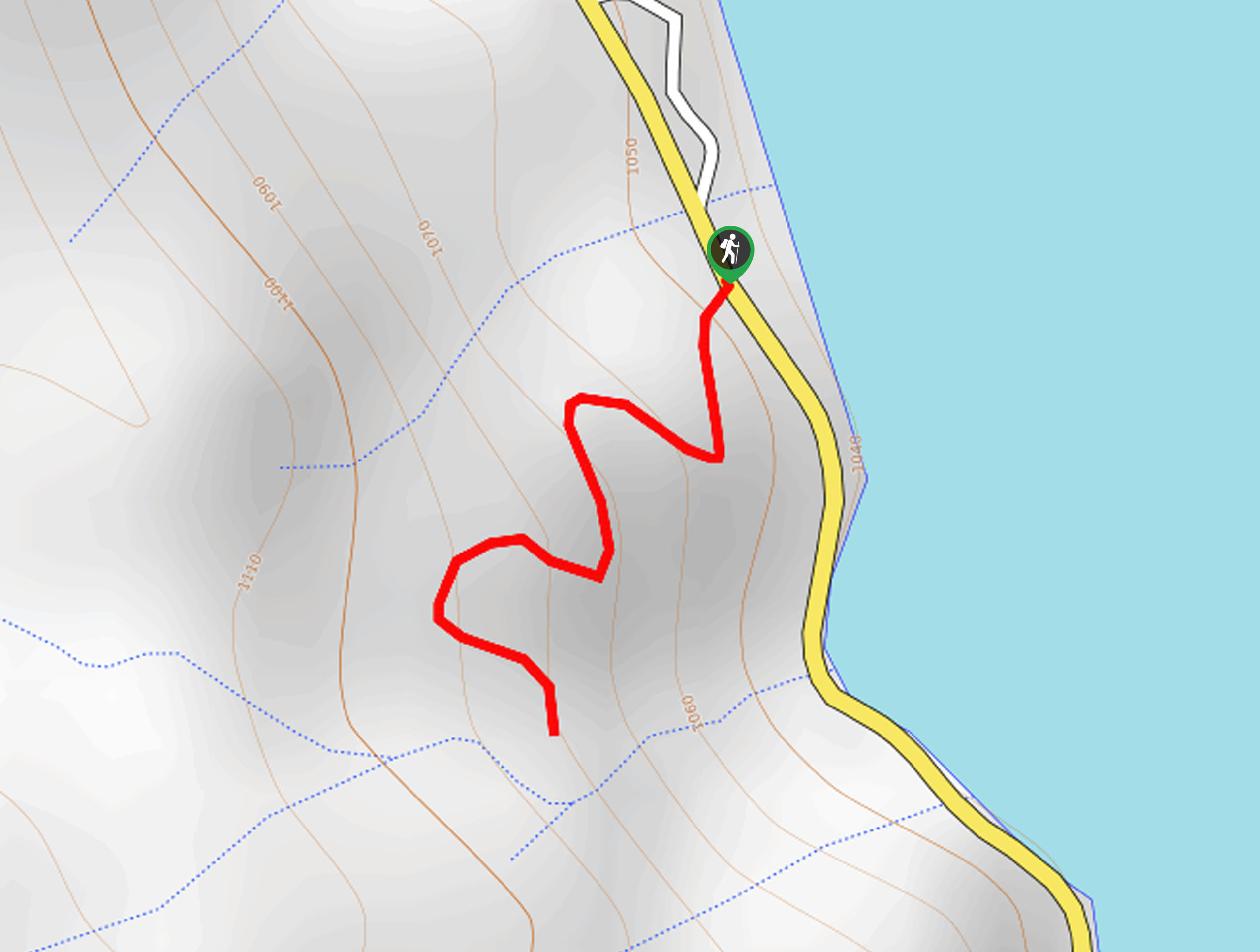
Setting out from the trailhead, follow the Way of the Mono Trail southwest. Immediately after departing the trailhead, the path will gradually climb along the sparsely shaded trail. Demanding the navigation of several switchbacks, you will be granted awesome views of the lake below. Continue trekking, and you will eventually reach the trail’s end.
At the path’s end, you will be granted impressive views of Bass Lake, the forested foothills, and distant views of the snow-capped Sierra summits. When you are through admiring the views, retrace your footing back along the path to the trailhead.
Similar hikes to the Way of the Mono Trail hike
Chiquito Pass Trail
The Chiquito Pass Trail is arguably one of the most scenic adventures in the Sierra National Forest. Wander up through…
Davis Flat Trail
Experience the grandeur of the Sierra Nevada Mountains as you hike through the Kings River Valley, bounded by rolling hills.…
Right and Left Meadows Loop
The Right and Left Meadows Loop, central to its name, also travels through woodlands. Wander through lush meadowlands abundant with…
Comments