Davis Flat Trail
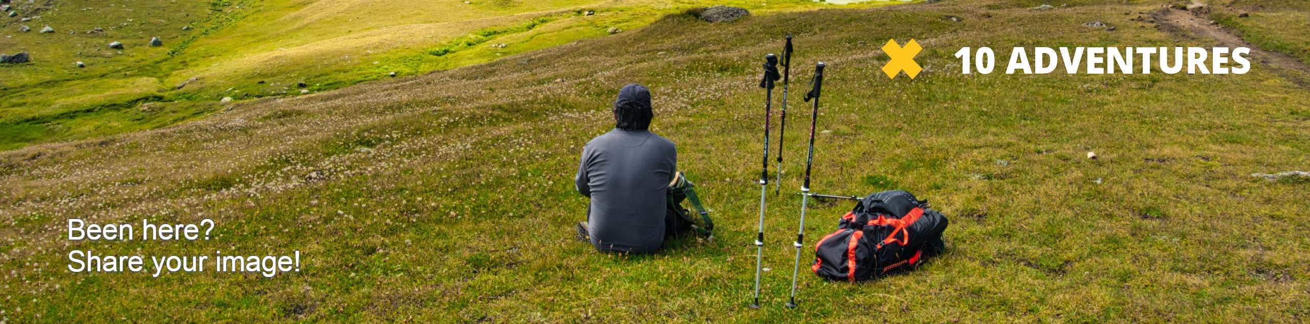
View Photos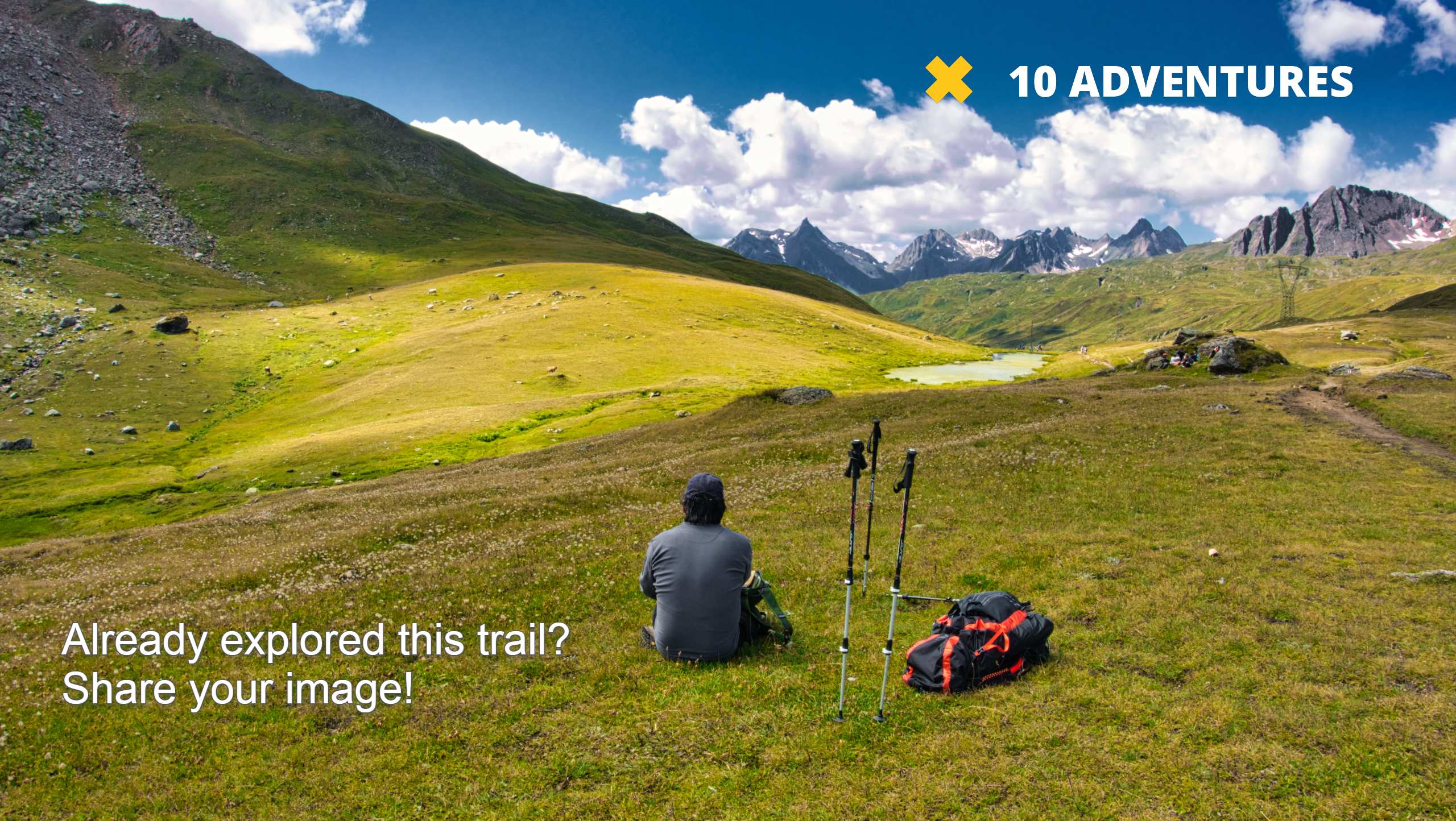
Davis Flat Trail
Difficulty Rating:
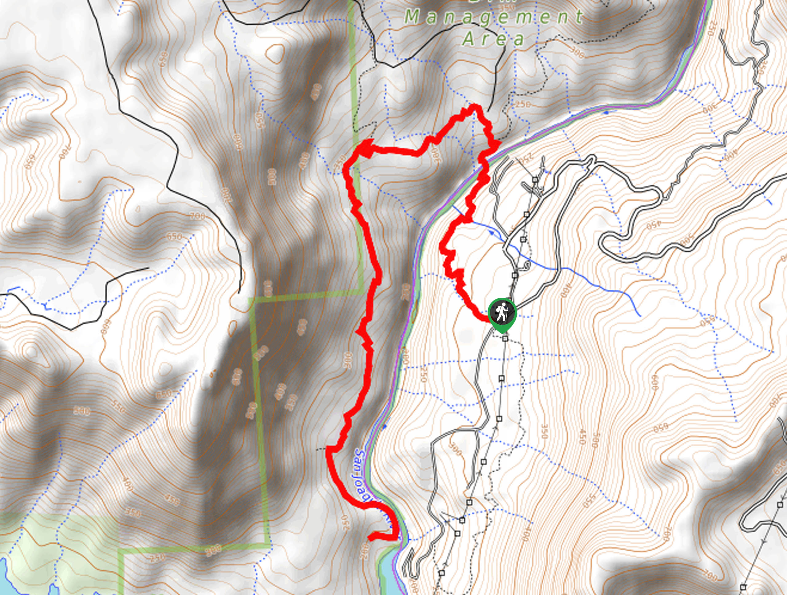
Experience the grandeur of the Sierra Nevada Mountains as you hike through the Kings River Valley, bounded by rolling hills. The Davis Flat Hike is an immersive one-way adventure that boasts incredible scenes.
Getting there
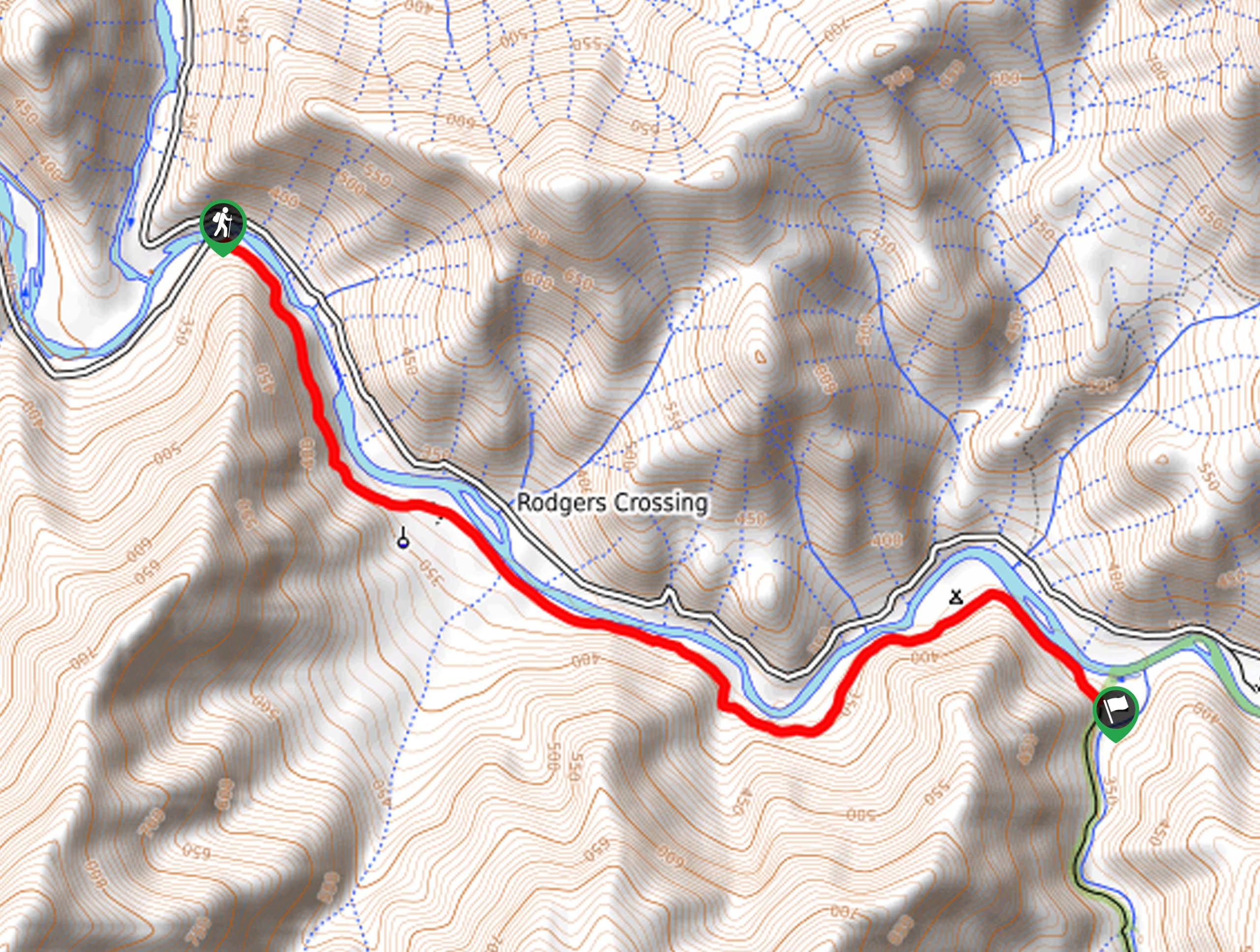
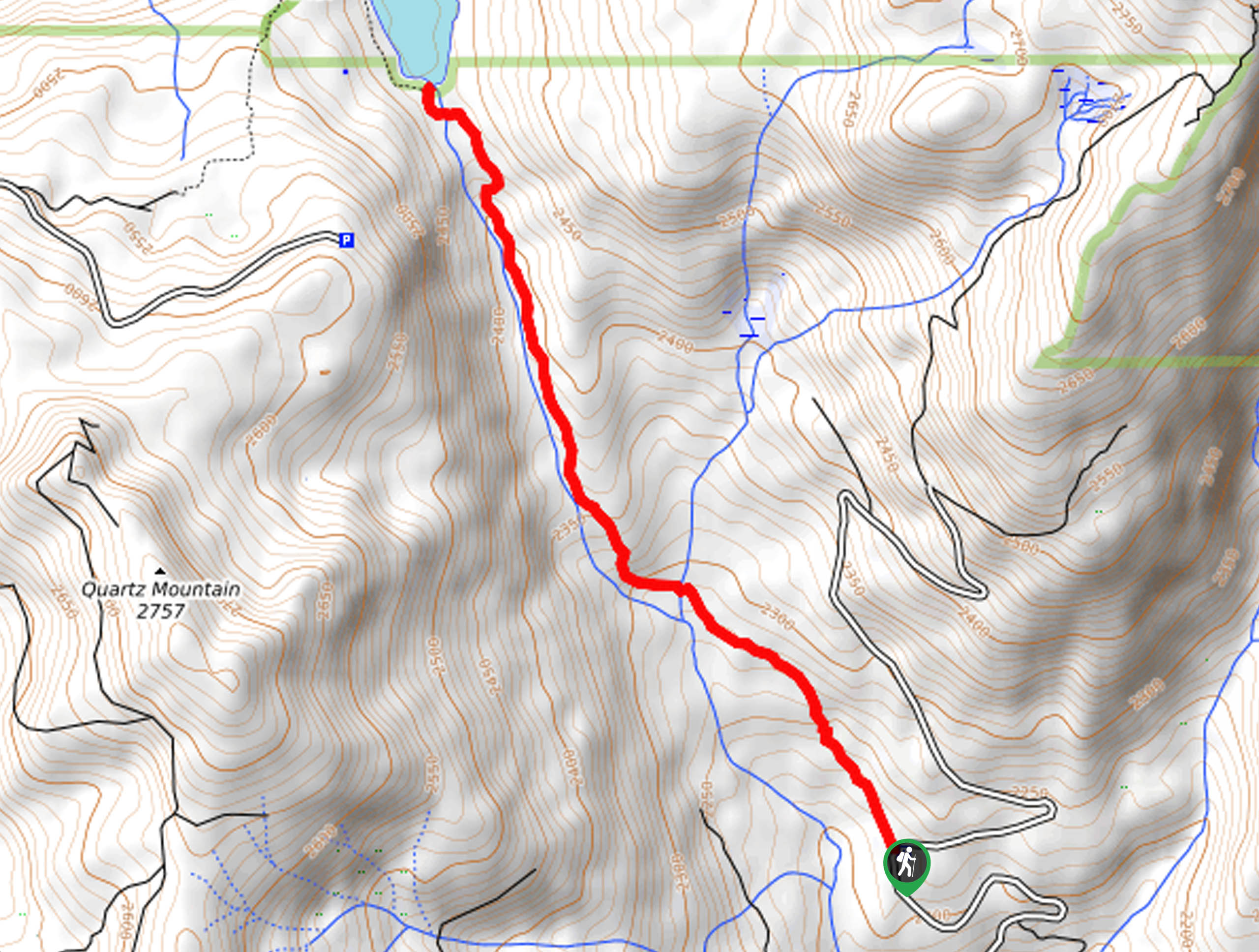
This hike departs from the Timmer Springs Road bridge.

About
| Backcountry Campground | Green Cabin Flat Campground |
| When to do | Year-round |
| Pets allowed | Yes - On Leash |
| Family friendly | Yes |
| Route Signage | Average |
| Crowd Levels | Moderate |
| Route Type | One Way |
Davis Flat Trail
Elevation Graph
Weather
Davis Flat Trail Description
There is nothing better than a one-way hike, as the views are diverse and fresh every step of the way. As you hike the Davis Flat Trail you will be granted immediate views of the running river and the bounding mountains, but at the end of the corridor, you will notice distant views of the snow-capped Sierra Nevada Peaks.
As this path is shared with off-roaders, it is important to be mindful of passers-by, especially when hiking with pups and children. We suggest transforming this trek into an out-and-back experience if you are hiking. If not, don’t forget to arrange for pick-up or drop off a car at the trail’s end.
Setting out from the trailhead at the Timmer Springs Road bridge, the Davis Flat Trail tracks east along the Timmer Springs Road, gently descending to the riverbanks. Not long after your departure from the trailhead will the path intensely climb a ridge, revealing impressive views of the Kings River below and encompassing mountains. Continuing to trek east, the path will mildly undulate, eventually guiding you past Green Cabin Flat Campground.
Following the dirt route, you will eventually meet the end of your adventure at the Mill Flat Campground. If you did not organize a pick-up or leave a car, simply retrace your footing back along the trail to your vehicle.
Similar hikes to the Davis Flat Trail hike
Chiquito Pass Trail
The Chiquito Pass Trail is arguably one of the most scenic adventures in the Sierra National Forest. Wander up through…
Wuh-Ki'o Trail
The Wuh-Ki'o Trail is an unassumingly picturesque adventure in the Sierra National Forest. Traveling through meadowlands, brush, over bridges, and…
Right and Left Meadows Loop
The Right and Left Meadows Loop, central to its name, also travels through woodlands. Wander through lush meadowlands abundant with…
Comments