
Swift Creek Trail
View Photos
Swift Creek Trail
Difficulty Rating:
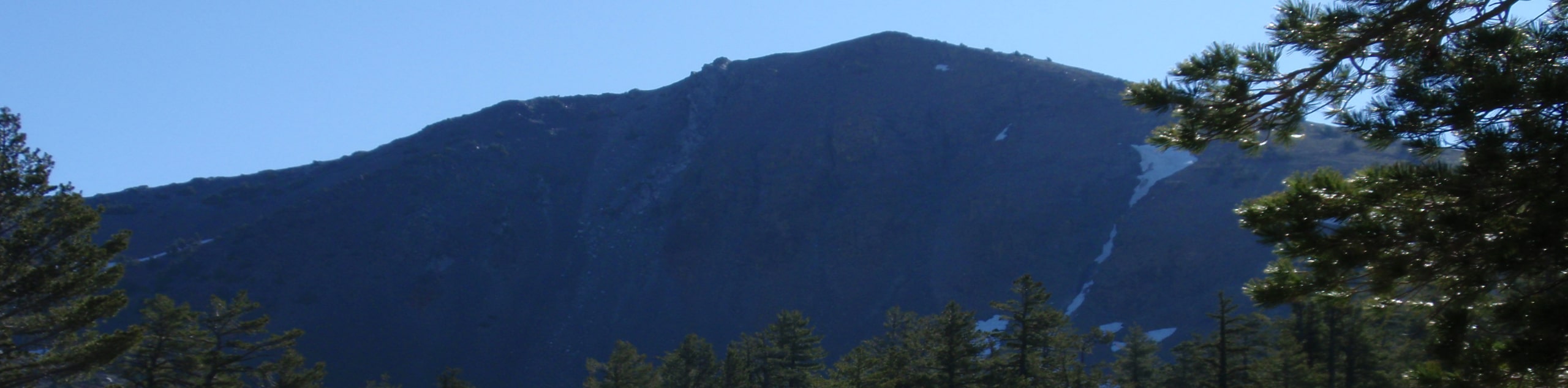
The Swift Creek Hike is a wonderful adventure that beckons intrepid spirits and experienced hikers seeking a challenge. Explore the Trinity Alps Wilderness as you wander amongst towering snow-capped peaks to mountain basins adorned with alpine lakes. Though demanding, this trek is well worth the sweat.
Getting there
Find the trailhead for this adventure off Swift Creek Road.

About
| Backcountry Campground | Backcountry Camping, permits required from either the Weaverville or Shasta Lake Ranger Stations. |
| When to do | Year-round |
| Pets allowed | Yes - On Leash |
| Family friendly | Yes |
| Route Signage | Average |
| Crowd Levels | Moderate |
| Route Type | Out and back |
Swift Creek Trail
Elevation Graph
Weather
Swift Creek Trail Description
The alpine terrain is awaiting your exploration. This adventure can be completed as a strenuous day hike or epic overnight expedition, assuming you have the wilderness permits. Whichever way you choose to complete this adventure, we can guarantee you will be impressed by the diversity of scenery. Note this path can be difficult if you follow it after a snowfall, so if you head out in the winter months, be sure to download the trail GPS. Additionally, much of this hike travels over uneven, rocky terrain, so make sure you wear comfortable footwear.
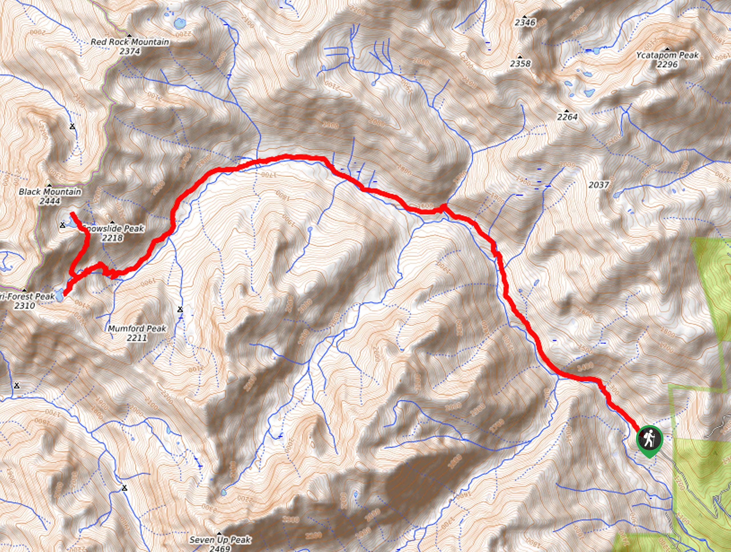
Setting out from the trailhead, the Swift Creek Trail travels northwestwardly through the forested valley. Wandering along Swift Creek, you will be lulled into a state of relaxation. Enjoy the sounds of the gurgling water and the sights of the mixed conifer forests and wildflowers as you climb. The further you ascend into the high country, the sparser will the tree canopy become. Eventually, you will reach an intersection, and continue straight along the Swift Creek Trail, which will guide you into a meadow to Foster’s Cabin. Here you will likely notice backpackers setting up their tents.
Persist along the route all the way up to Horseshoes Lake, a charming alpine lake. If you still have gas left in the tank, climb the Ward Lake Trail up to Ward Lake. You will be granted inspiring views of the mountainous landscape that lines the horizon from here. When you are ready, head back along the path the way you came, all the way to the trailhead.
Similar hikes to the Swift Creek Trail hike
Sisson Callahan Trail
The Sisson Callahan Trail is an awesome one-way expedition through the Trinity Alps Wilderness that boasts incredible views of the…
Wagon Creek Falls via Deer Creek Hike
The Wagon Creek Falls via Deer Creek Hike beckons intrepid explorers who won’t shy away from a challenge. Put your…
Bear Basin Loop
Seeking a day hike in the Trinity Alps Wilderness that checks all the boxes—long, scenic, diverse, and well maintained? Well,…
Comments