
Granite Lake via Swift Creek Trail
View Photos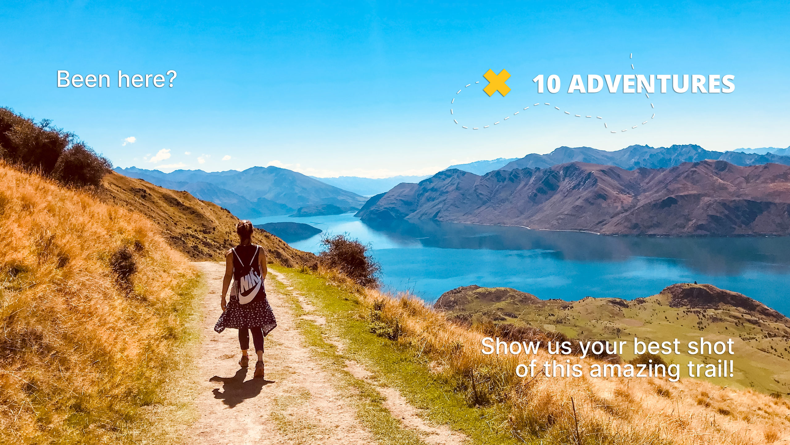
Granite Lake via Swift Creek Trail
Difficulty Rating:
The Granite Lake via Swift Creek Trail is an ideal adventure for intermediate hikers and families with older children. The high country is awaiting your exploration, and this hike is a great way to do just that! Hike through forested valleys and alpine meadows up to the crystalline lake.
Getting there
The Granite Lake via Swift Creek Trail departs from the trailhead off Swift Creek Road.

About
| Backcountry Campground | Backcountry Camping, permits required from either the Weaverville or Shasta Lake Ranger Stations. |
| When to do | Year-round |
| Pets allowed | Yes - On Leash |
| Family friendly | Older Children only |
| Route Signage | Average |
| Crowd Levels | High |
| Route Type | Out and back |
Granite Lake via Swift Creek Trail
Elevation Graph
Weather
Granite Lake via Swift Creek Trail Description
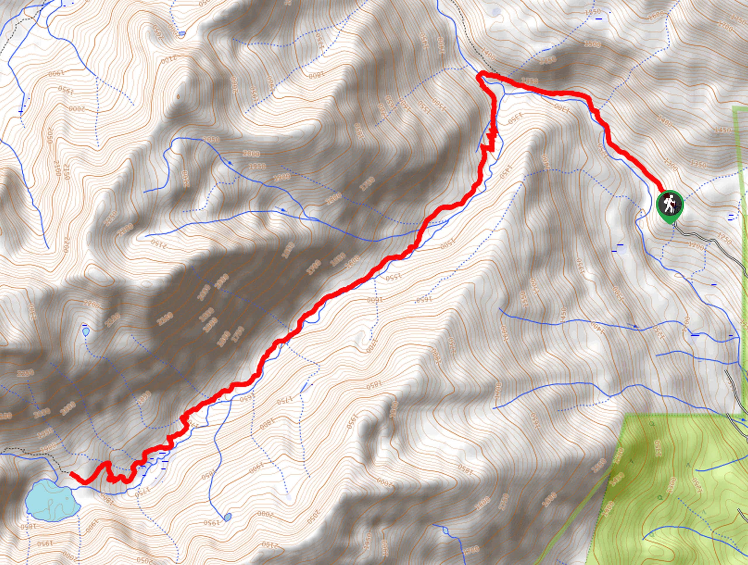
Immerse yourself in the Trinity Alps Wilderness along the Granite Lake via Swift Creek Trail. This scenic adventure travels along the pictures gurgling creek, through diverse terrains up to the shimmering lake. In the summer months, this lake boasts the perfect opportunity to cool off after a tiring trek. The initial segment of the trail is well signposted, but the rearmost section demands navigational skills or a trail GPS! Though this route is open and accessible year-round, we encourage you to head out in the summer when the wildflowers are vibrant and the vegetation is lush.
Embark on your adventure along the Granite Lake via Swift Creek Trail from the trailhead. Setting out from here, you will follow the Swift Creek Trail northwest along Swift Creek. Enjoy the sounds of the gurgling waters as you wander parallel to the creek. Eventually, you will reach an intersection, veer left here, and you will be diverted onto the Granite Lake Trail over a footbridge and along Granite Creek.
Follow this path higher into the alpine terrain, and you will ultimately arrive at Granite Lake. Admire the scene of the emerald-hued waters bounded by impressive granite cliffs of Gibson Peak. Marvel in the scenery, dip your tired feet in the chilly alpine waters, then retrace your footing along the path back to the trailhead.
Similar hikes to the Granite Lake via Swift Creek Trail hike

East Weaver Lake Trail
The East Weaver Lake Trail is a wonderful adventure on the boundary of the Trinity Alps Wilderness that features amazing…

Bluff Lake via PCT
The Bluff Lake via PCT is a secluded adventure in the Shasta-Trinity National Forest that offers wonderful scenery and makes…
Lover’s Leap Hike
The Lover’s Leap Hike is an awesome adventure up to the summit of a granite bluff overlooking the Cascade Range…
Comments