Mount Shasta City Park Loop
View Photos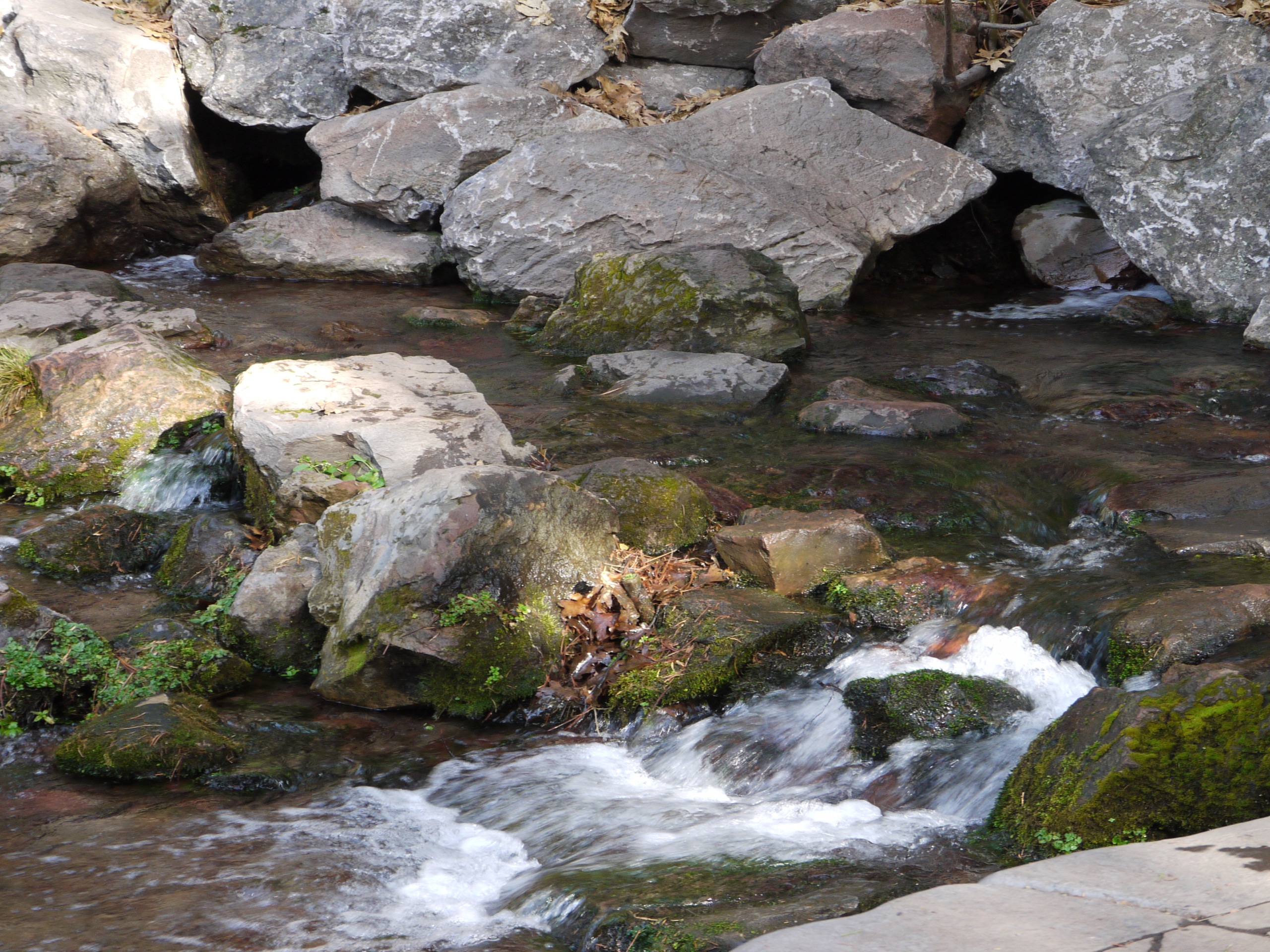
Mount Shasta City Park Loop
Difficulty Rating:
Reconnect with nature and stretch your legs along the Mount Shasta City Park Loop. This awesome adventure boasts the perfect opportunity to escape the hustle and bustle of the city. Family-friendly and incredibly scenic, this adventure is a must-add to your hiking itinerary.
Getting there
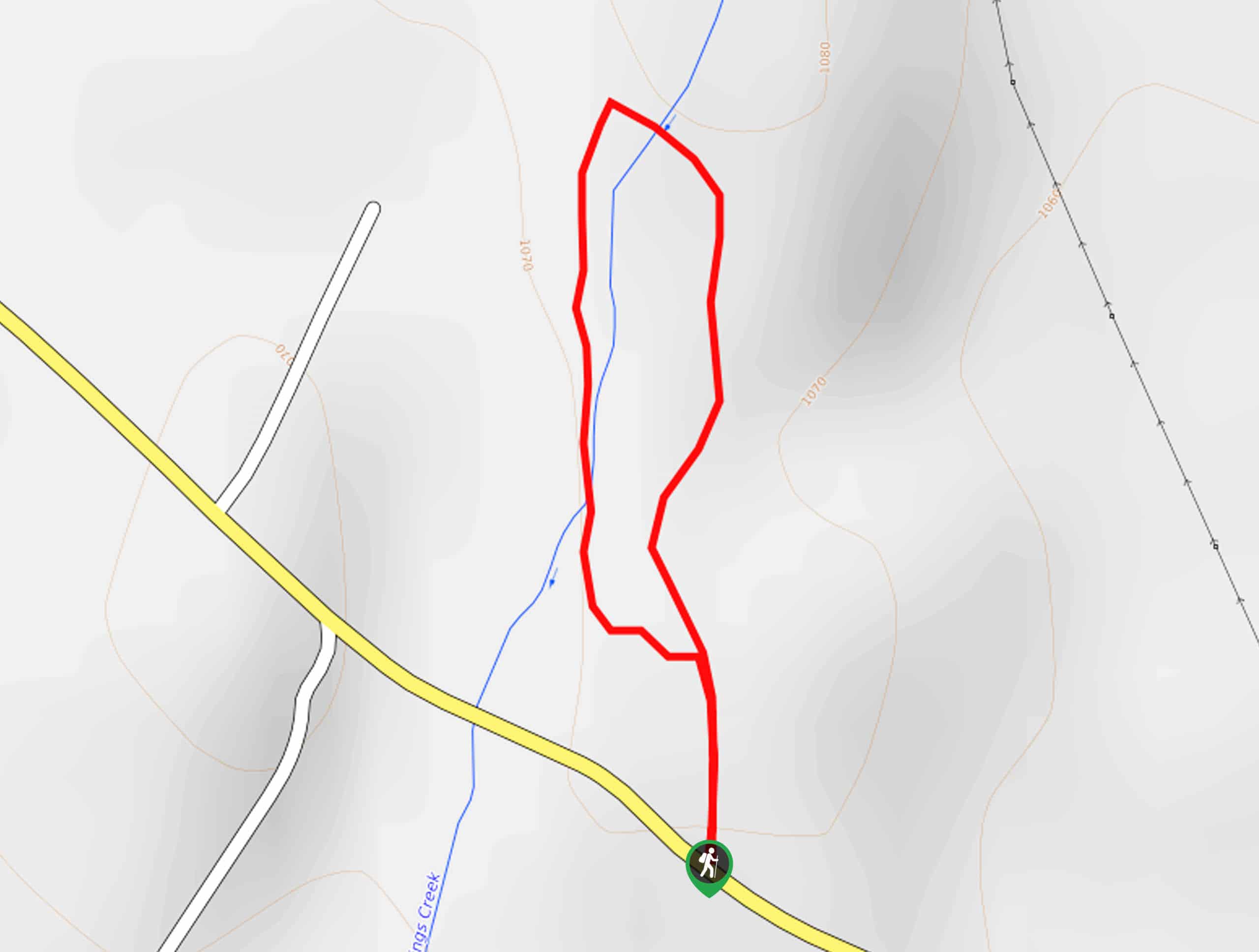
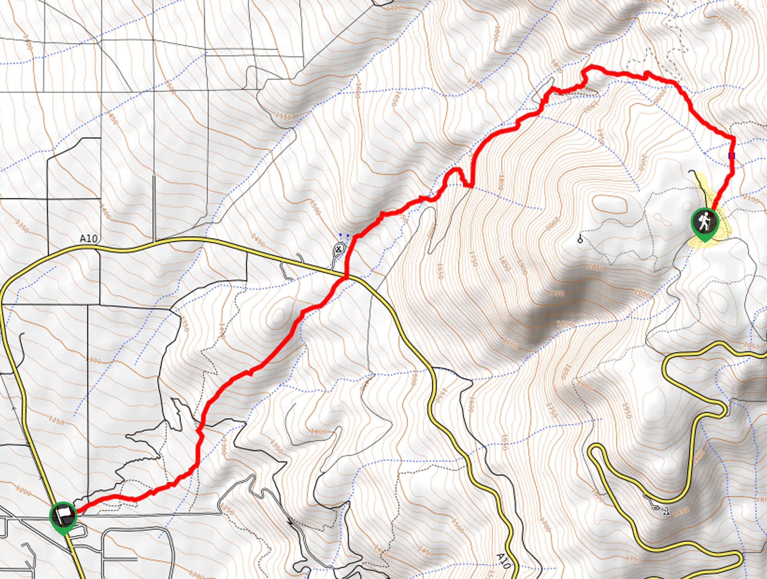
The trailhead and parking lot for this adventure are located off Nixon Road.

About
| Backcountry Campground | No |
| When to do | Year-round |
| Pets allowed | Yes - On Leash |
| Family friendly | Yes |
| Route Signage | Average |
| Crowd Levels | Moderate |
| Route Type | Lollipop |
Mount Shasta City Park Loop
Elevation Graph
Weather
Mount Shasta City Park Loop Description
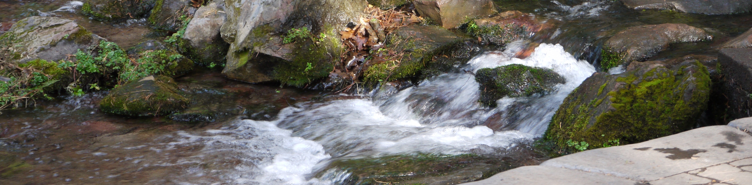
Indulge in the commanding views of Mount Shasta from the Mount Shasta City Park Loop. This short but scenic trail yields amazing scenery, including mountain views, vibrant flora, lush forestlands, and beautiful creeks. Note: there are many paths in this park, so we encourage the use of the trail GPS to easily navigate the network of routes. Open year-round; this path is muddy in the spring and slippery in the winter, so wear the proper footwear.
Setting out from the trailhead, the Mount Shasta City Park Loop follows the rightmost trail around the park’s perimeter. Hiking into the woodlands, you will cross a footbridge over Big Springs Creek, heading eastwardly. Soon the path will redirect you south, running parallel to the Freeway, so you will likely hear the sounds of vehicle traffic. Enjoy the shade of the tree canopy, and you will curve northeastward, back over the creek.
At this point, the trail will guide you into the meadowlands, which expose views of Mount Shasta before delivering you back to the trailhead, marking the end of your adventure.
Similar hikes to the Mount Shasta City Park Loop hike
Elsa Rupp Nature Trail
The Elsa Rupp Nature Trail is a wonderful escape from the hustle and bustle of the city. Reconnect with nature…
Lower Hat Creek Trail
Hikers of all skill levels, ages, and ability levels can enjoy the Lower Hat Creek Trail. This wonderful nature path…
Sisson Southern Trail
The Sisson Southern Trail is a wonderful one-way expedition along the outskirts of Mount Shasta that connects the Sand Flats…
Comments