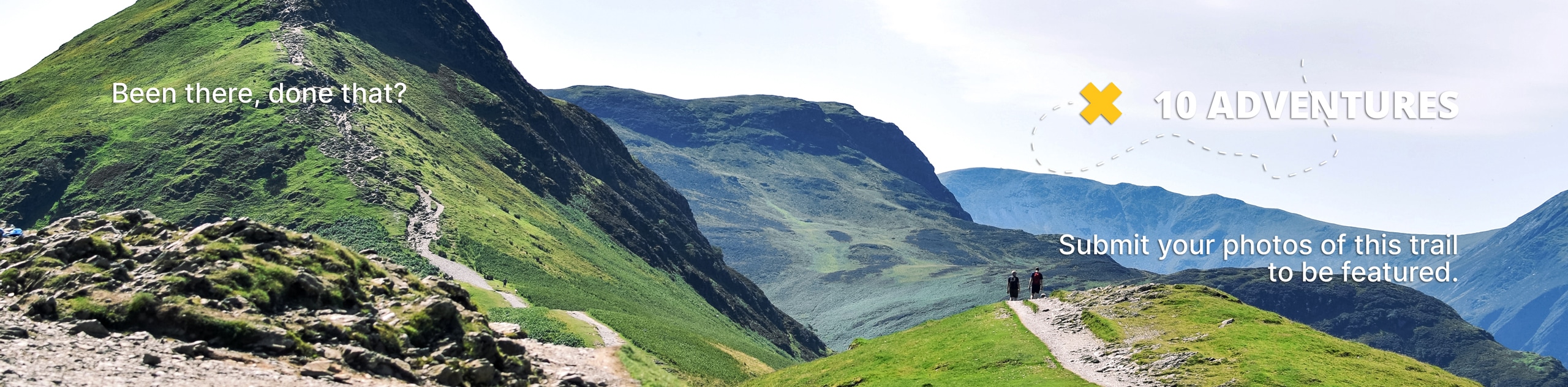
Caribou Lakes Trail
View Photos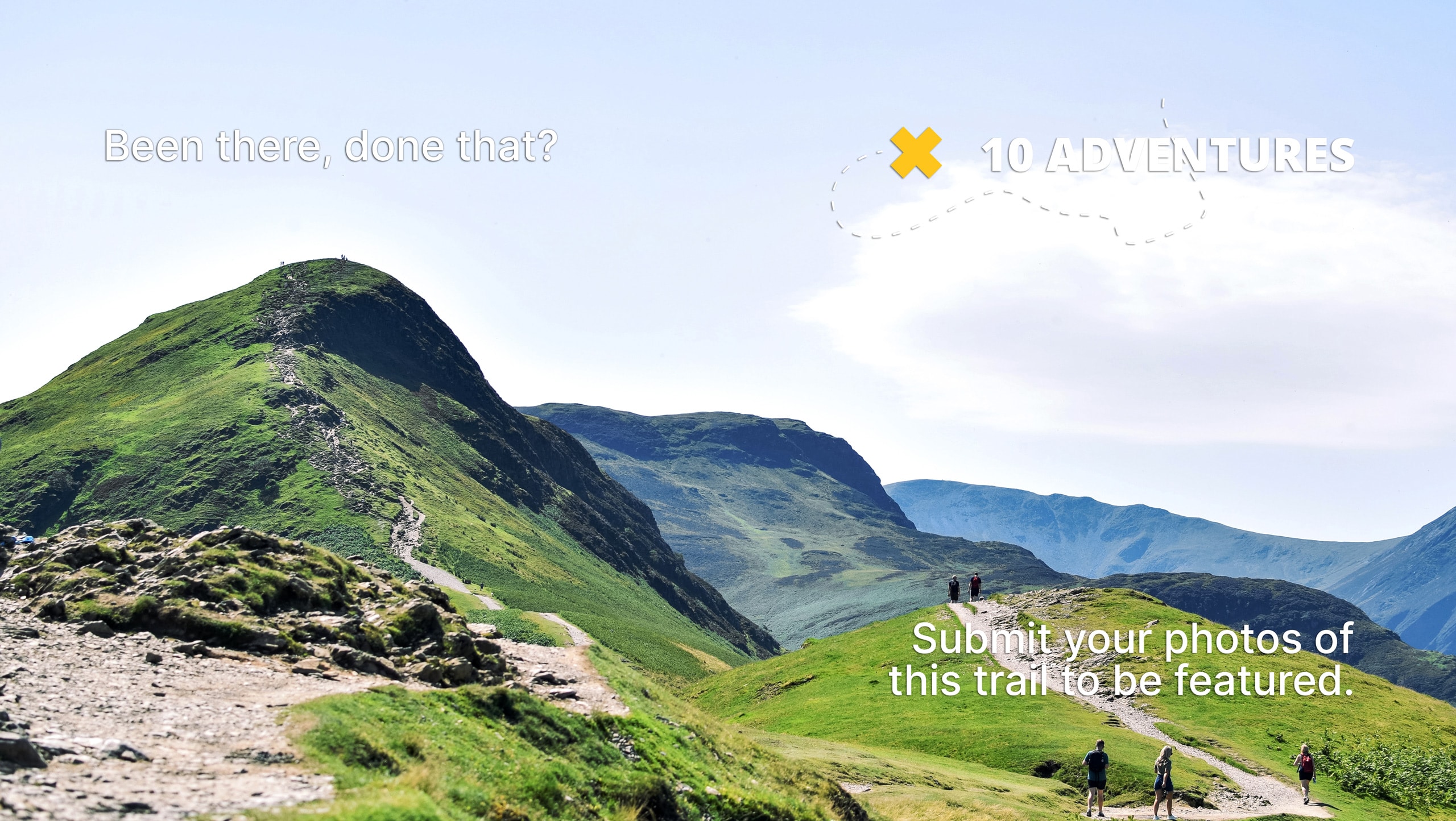
Caribou Lakes Trail
Difficulty Rating:
The Caribou Lakes Trail is a demanding feat in the Trinity Alps Wilderness that requires an intrepid spirit. This popular backpacking route can be completed as a strenuous day hike for eager explorers. Immerse yourself in the backcountry and marvel at the topographic diversity of Northern California.
Getting there
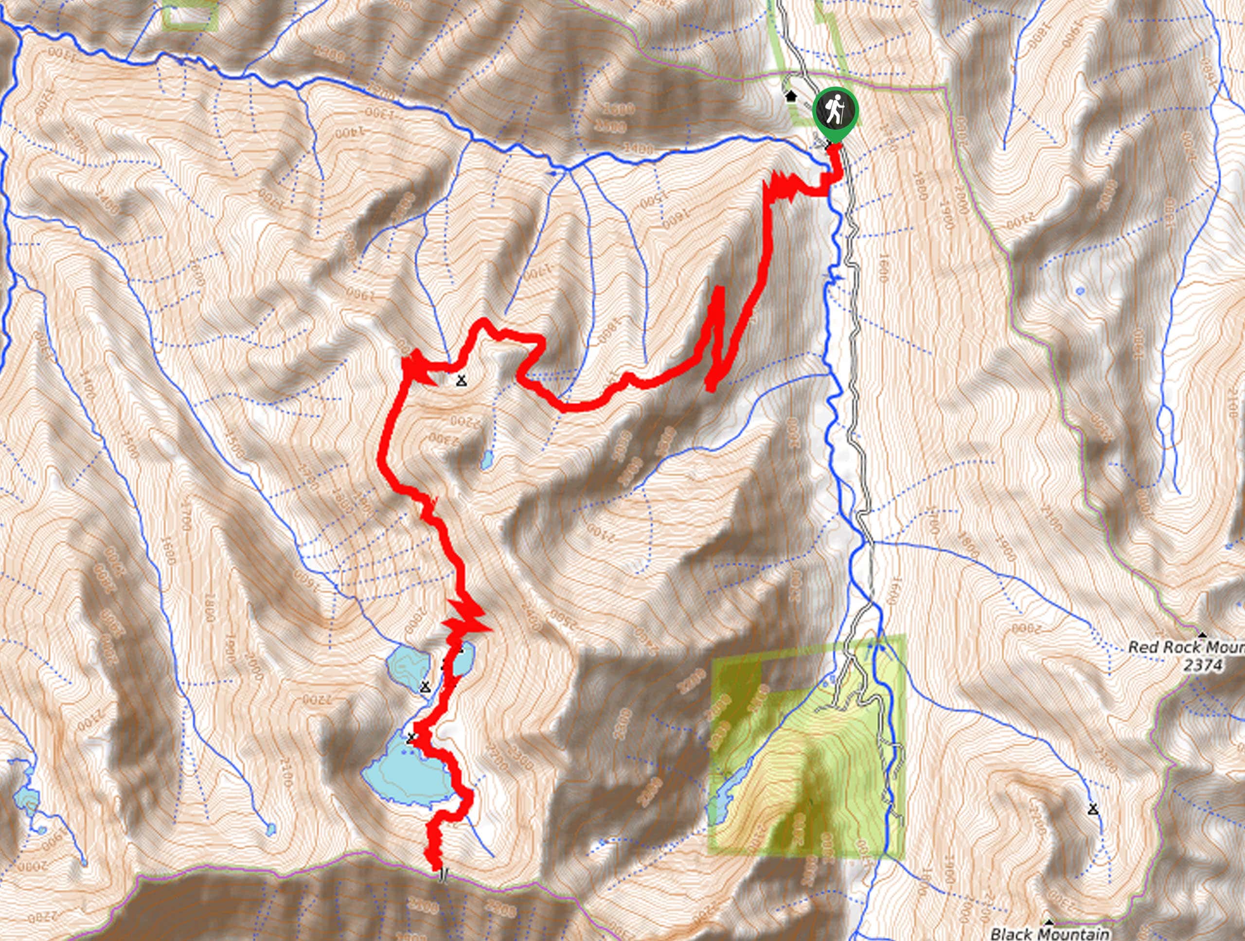
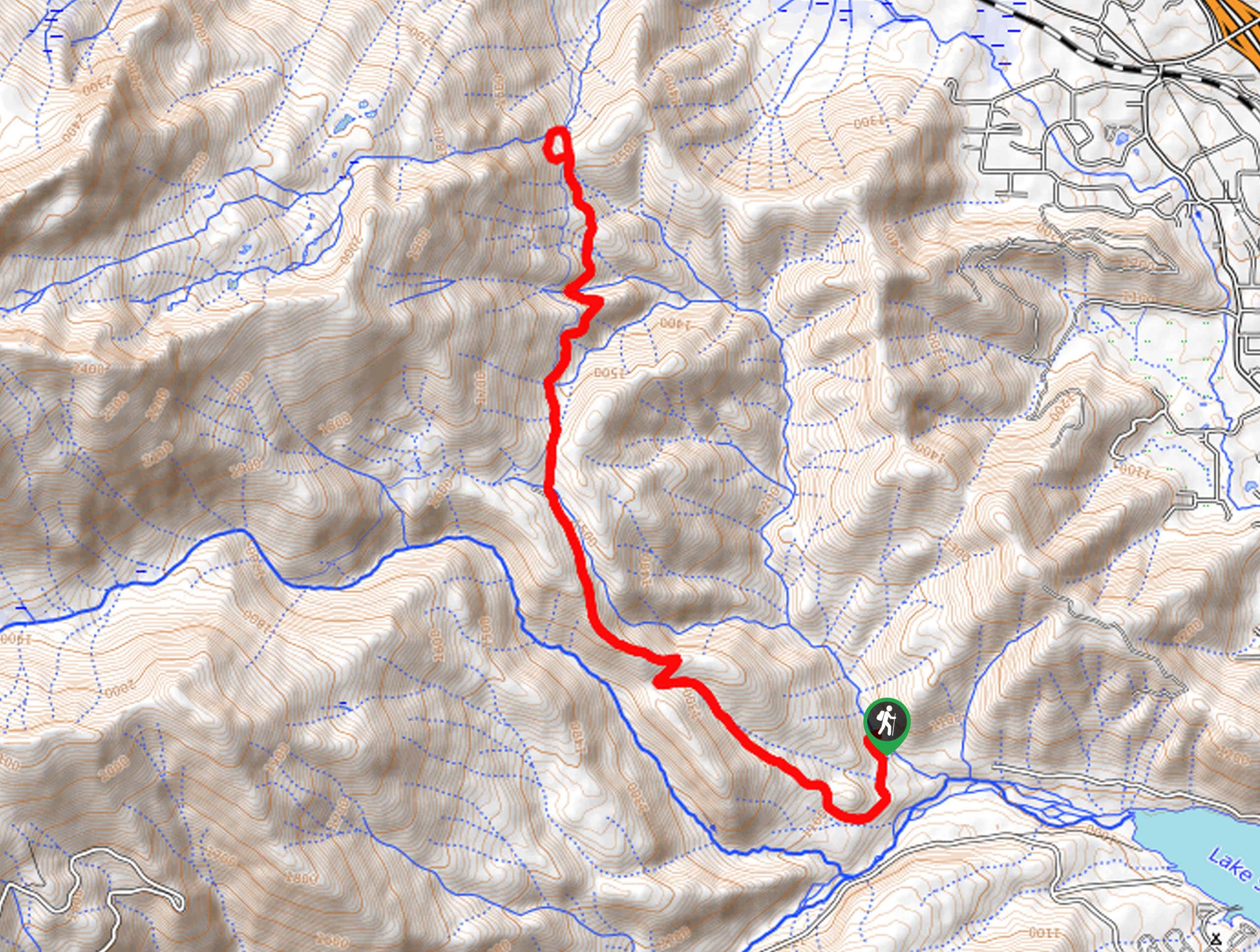
The Caribou Lakes Trail departs from the trailhead and parking lot off Coffee Creek Road.

About
| Backcountry Campground | Backcountry Camping, wilderness permit required from either the Weaverville or Shasta Lake Ranger Stations. |
| When to do | Year-round |
| Pets allowed | Yes - On Leash |
| Family friendly | No |
| Route Signage | Average |
| Crowd Levels | Low |
| Route Type | Out and back |
Caribou Lakes Trail
Elevation Graph
Weather
Caribou Lakes Trail Description
The Caribou Lake Trail is not for the faint of heart. This strenuous adventure through the high-country demands endurance, preparation, and a dedicated mindset. If you plan to complete this as a day hike, make sure you head out before dawn with the help of a headlamp to arrive back at the trailhead before nightfall. Additionally, be sure to pack plenty of water as there are limited sources to restock along the way. If you are tackling this route as an overnight expedition, make sure to pick up a permit from the ranger’s office before heading out.
Your journey along the Caribou Lakes Trail begins from the trailhead off Coffee Creek Road. Shortly after departing from the trailhead, you will be led up a set of tightly wound switchbacks before the Caribou Lakes Trail redirects you south. Wandering through mixed consider forest and alpine tundra, you will be awarded a diversity of scenery to keep you stimulated. Climbing further into the high country, you will ultimately pass the Browns Meadows Campsites, a great place to stop for the night if you are backpacking. If not, persist along the path to Snowslide Lake, Lower Caribou Lake, then onto Upper Caribou Lake.
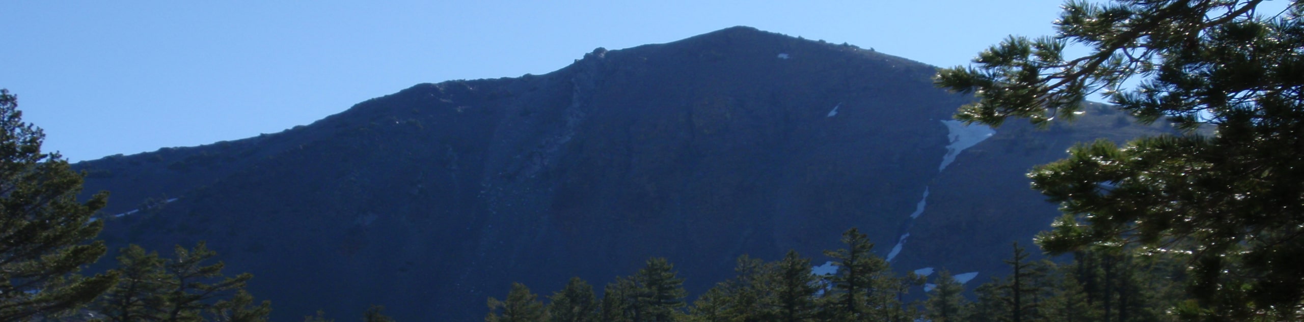
Marvel in the beauty of the crystalline waters boarded by the towering granite buffs of Caribou Mountain. Rejuvenate your tired feet in the chilly alpine waters, and when you are ready, retrace your footing along the path back to the trailhead.
Similar hikes to the Caribou Lakes Trail hike
Sisson Callahan Trail
The Sisson Callahan Trail is an awesome one-way expedition through the Trinity Alps Wilderness that boasts incredible views of the…
Wagon Creek Falls via Deer Creek Hike
The Wagon Creek Falls via Deer Creek Hike beckons intrepid explorers who won’t shy away from a challenge. Put your…
Bear Basin Loop
Seeking a day hike in the Trinity Alps Wilderness that checks all the boxes—long, scenic, diverse, and well maintained? Well,…
Comments