
Puget Park Trail
View Photos
Puget Park Trail
Difficulty Rating:
Take a hike through a forested canyon on the Puget Park Trail. This 1.2mi easy trail is well-maintained and popular. The steps down to the canyon floor are in good condition and the trail is very easy to follow. Soak up the beauty of the trees and the sounds of the river as you do this hike.
Getting there
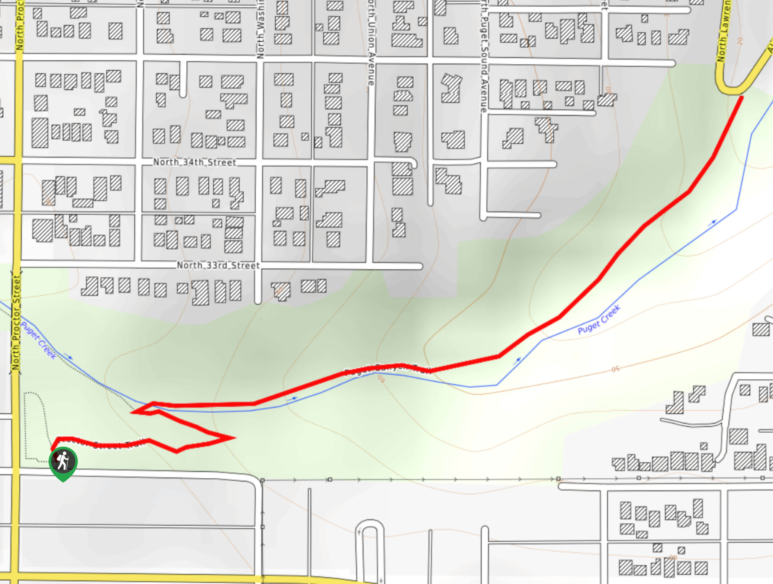
The trailhead for the Puget Park Trail is near the intersection of N 31st St and N Proctor St.

About
| Backcountry Campground | No |
| When to do | March-October |
| Pets allowed | Yes - On Leash |
| Family friendly | Yes |
| Route Signage | Average |
| Crowd Levels | Moderate |
| Route Type | Out and back |
Puget Park Trail
Elevation Graph
Weather
Puget Park Trail Description
Puget Park Trail is a scenic short hike in an urban area. Use it to get away from the concrete for a while! There are zig-zagging stairs near the beginning of the hike, so we don’t recommend bringing strollers. The stairs and trail are both well-maintained.
Begin at the trailhead and take the stairs down into the canyon. Follow the creek as you walk through the park on the easy to follow trail. The trees are lush and vibrant green and dogs and kids are often enjoying the creek along the path. You’ll reach the end of the canyon neat Alder Way, where you’ll turn around and retrace your steps back to the trailhead.
Similar hikes to the Puget Park Trail hike

Sky Country to Harvey Manning Loop
The Sky Country to Harvey Manning Loop is a 4.2mi loop trail in the northern part of Cougar…

Iverson Spit Preserve Loop
The Iverson Spit Preserve Loop is a 1.2mi loop hike right on the beach, coursing through a beaver…

Lowell Riverfront Trail
The Lowell Riverfront Trail is a 3.0mi route alongside the Snohomish River in Everett. This trail is heavily…
Comments