Bothell Landing Trail
View Photos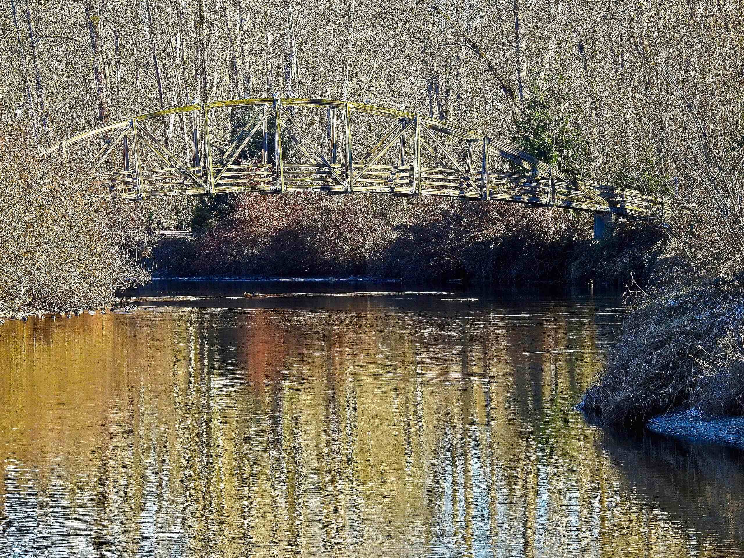
Bothell Landing Trail
Difficulty Rating:
The Bothell Landing Trail is a well-maintained 4.0mi multi-use pathway perfect for walking, running, or biking. You can do this section as a standalone adventure or continue on the longer Burke Gilman Trail. This path is great for dogs on leash, just remember to be aware of passing bike traffic.
Getting there
The trailhead for the Bothell Landing Trail is in the park off NE 180th Street.

About
| Backcountry Campground | No |
| When to do | Year-round |
| Pets allowed | Yes - On Leash |
| Family friendly | Yes |
| Route Signage | Average |
| Crowd Levels | Moderate |
| Route Type | Out and back |
Bothell Landing Trail
Elevation Graph
Weather
Bothell Landing Trail Description
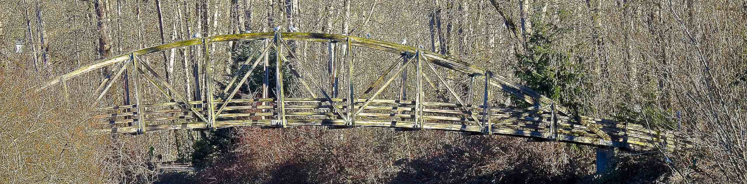
The Bothell Landing Trail is a great route for walkers, runners, and bikers. It’s well-maintained and because of its connection to the Burke Gilman Trail, your adventure can last much longer if you’d like it to. This trail meanders along the Sammamish River, offering a nice bit of natural beauty in the city. Be aware of passing bike traffic.
Begin from the trailhead. You’ll cross the river and go right, walking alongside the water. You’ll cross back over the river soon to hug the road for a bit before the river nears again. The path connects to the Burke Gilman Trail, where you’ll continue on to where it crosses the creek. From here, turn around and retrace your steps or keep going further if you’d like to.
Similar hikes to the Bothell Landing Trail hike

Sky Country to Harvey Manning Loop
The Sky Country to Harvey Manning Loop is a 4.2mi loop trail in the northern part of Cougar…

Iverson Spit Preserve Loop
The Iverson Spit Preserve Loop is a 1.2mi loop hike right on the beach, coursing through a beaver…

Lowell Riverfront Trail
The Lowell Riverfront Trail is a 3.0mi route alongside the Snohomish River in Everett. This trail is heavily…
Comments