
Owen Beach Trail
View Photos
Owen Beach Trail
Difficulty Rating:
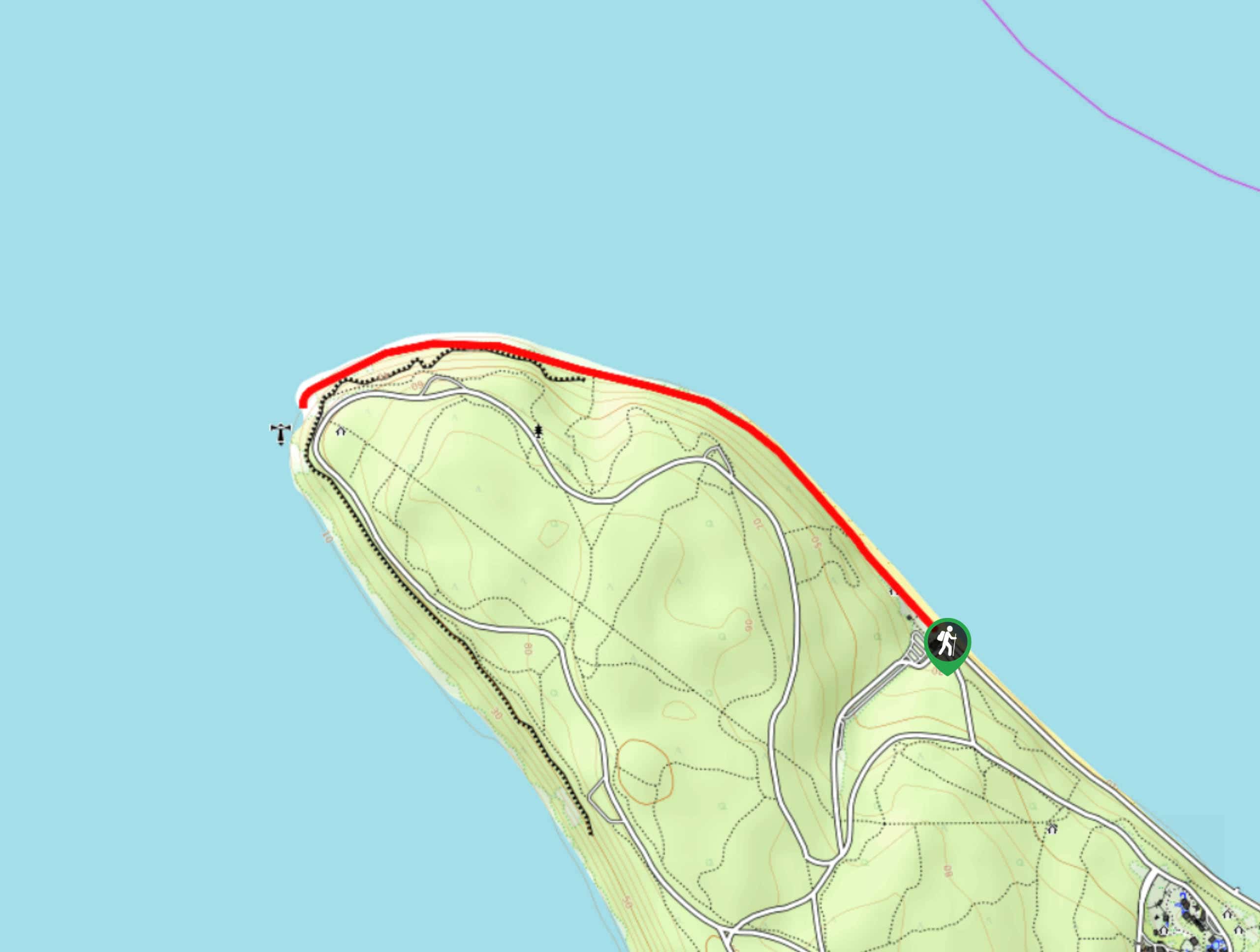
Owen Beach Trail is a 2.1mi heavily trafficked trail that leads you along the tip of Point Defiance Park. It’s an easy walk along the water with great views and a calm atmosphere. The hike is heavily trafficked, so try to visit outside of peak hours if you’d like more of the beach to yourself. Try to come during low tide so you can explore as much of the beach as you prefer.
Getting there
The trailhead for the Owen Beach Trail is near the Owen Beach Snackhouse off N Owen Beach Road.

About
| Backcountry Campground | No |
| When to do | March-October |
| Pets allowed | Yes - On Leash |
| Family friendly | Yes |
| Route Signage | Average |
| Crowd Levels | High |
| Route Type | Out and back |
Owen Beach Trail
Elevation Graph
Weather
Owen Beach Trail Description
The hike along Owen Beach is a lovely trip, one that can be nicely bookended by a stop at the snackhouse near the trailhead. It’s a fairly quick trip and mostly flat. Perfect for beachcombers and kids, it’ll fill a sunny afternoon or morning perfectly. The trail follows the beach, so we recommend visiting at low tide.
Begin near the snackhouse, taking the trail that heads along the beach towards the point. Pass the picnic area and stay right at the first junction. The route follows the beach and is incredibly straightforward, so you won’t need to be navigating much. The trail ends near the Gig Harbor viewpoint. Stop here to look out over the water before turning around and retracing your steps.
Similar hikes to the Owen Beach Trail hike

Sky Country to Harvey Manning Loop
The Sky Country to Harvey Manning Loop is a 4.2mi loop trail in the northern part of Cougar…

Iverson Spit Preserve Loop
The Iverson Spit Preserve Loop is a 1.2mi loop hike right on the beach, coursing through a beaver…

Lowell Riverfront Trail
The Lowell Riverfront Trail is a 3.0mi route alongside the Snohomish River in Everett. This trail is heavily…
Comments