Juanita Bay Park Trail
View Photos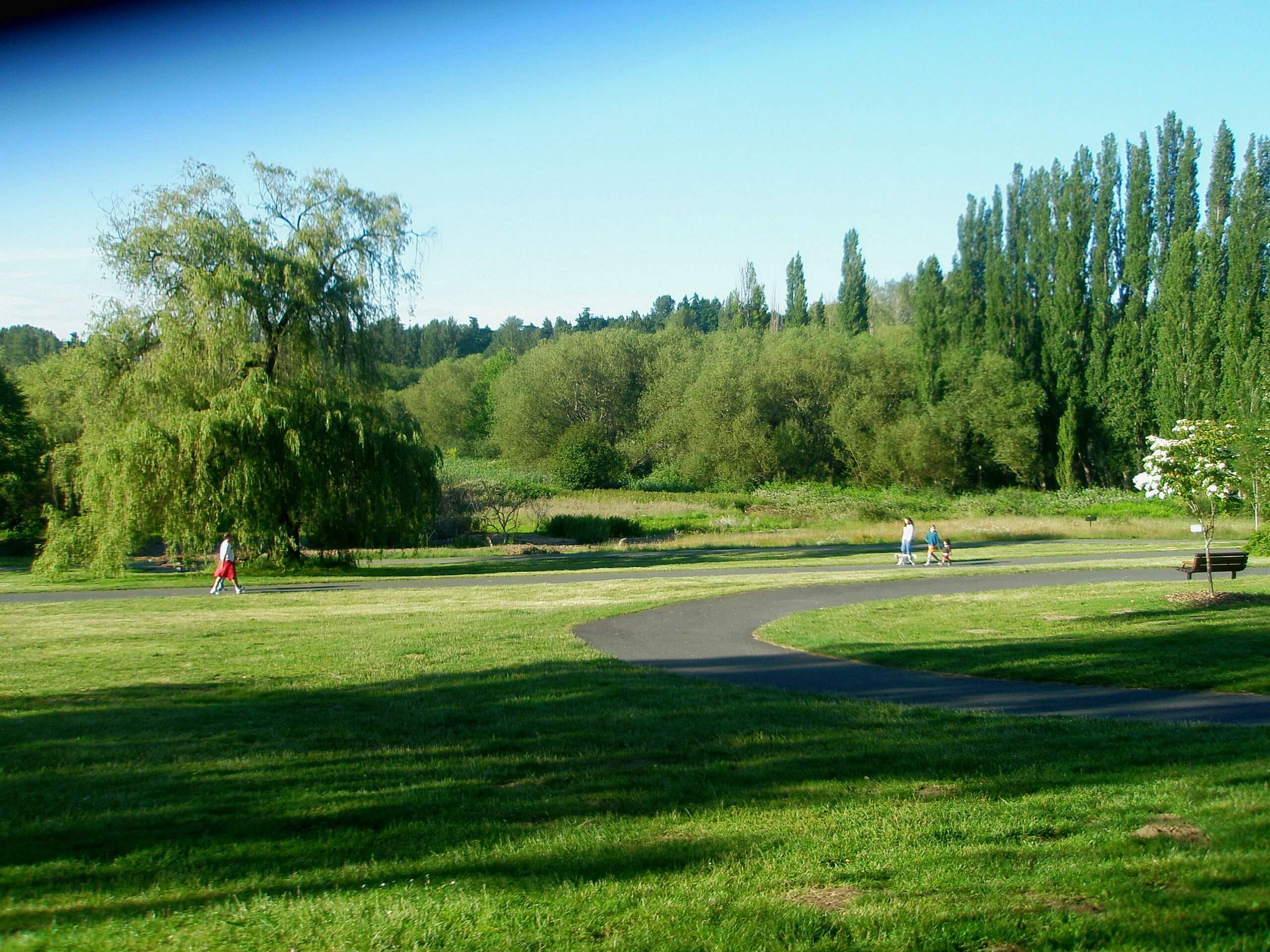
Juanita Bay Park Trail
Difficulty Rating:
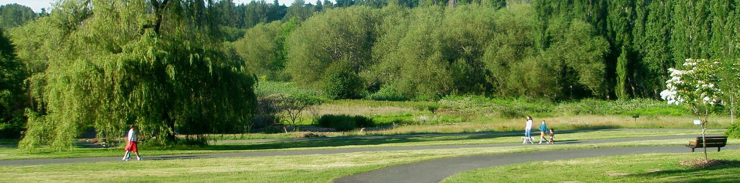
A popular spot for birdwatchers, walkers, and joggers, Juanita Bay Park Trail is a picturesque waterside walk. At less than a mile long, you can go slow and savor the viewpoints. This is also a fun trail for kids, who can try to spot local wildlife. The walk is mostly flat and is suitable for all skill levels. It also tends to be quiet and lightly trafficked.
Getting there
The trailhead for the Juanita Bay Park Trail is off the parking loop on 9th St SW.

About
| Backcountry Campground | No |
| When to do | Year-round |
| Pets allowed | Yes - On Leash |
| Family friendly | Yes |
| Route Signage | Average |
| Crowd Levels | Low |
| Route Type | Out and back |
Juanita Bay Park Trail
Elevation Graph
Weather
Juanita Bay Park Trail Description
Juanita Bay Park is a gorgeous spot coveted by locals for nature walks by the water. This easy out and back trail through the park allows you to see wildlife and enjoy the scenery without much difficulty. It is kid-friendly, but it’s also perfect for a romantic evening walk.
Begin from the parking area. There are two trails that leave from the access road, so make sure you take the one on your left. Walk past the restrooms and then go left at the split. At the next junction, stay right. You’ll walk up onto the point ahead, where great views over the water can be enjoyed. Backtrack to the junction and stay left. At the trail split, take the right-hand route this time. This takes you to another overlook. From here, retrace your steps back to the parking area to complete your walk.
Similar hikes to the Juanita Bay Park Trail hike

Sky Country to Harvey Manning Loop
The Sky Country to Harvey Manning Loop is a 4.2mi loop trail in the northern part of Cougar…

Iverson Spit Preserve Loop
The Iverson Spit Preserve Loop is a 1.2mi loop hike right on the beach, coursing through a beaver…

Lowell Riverfront Trail
The Lowell Riverfront Trail is a 3.0mi route alongside the Snohomish River in Everett. This trail is heavily…
Comments