
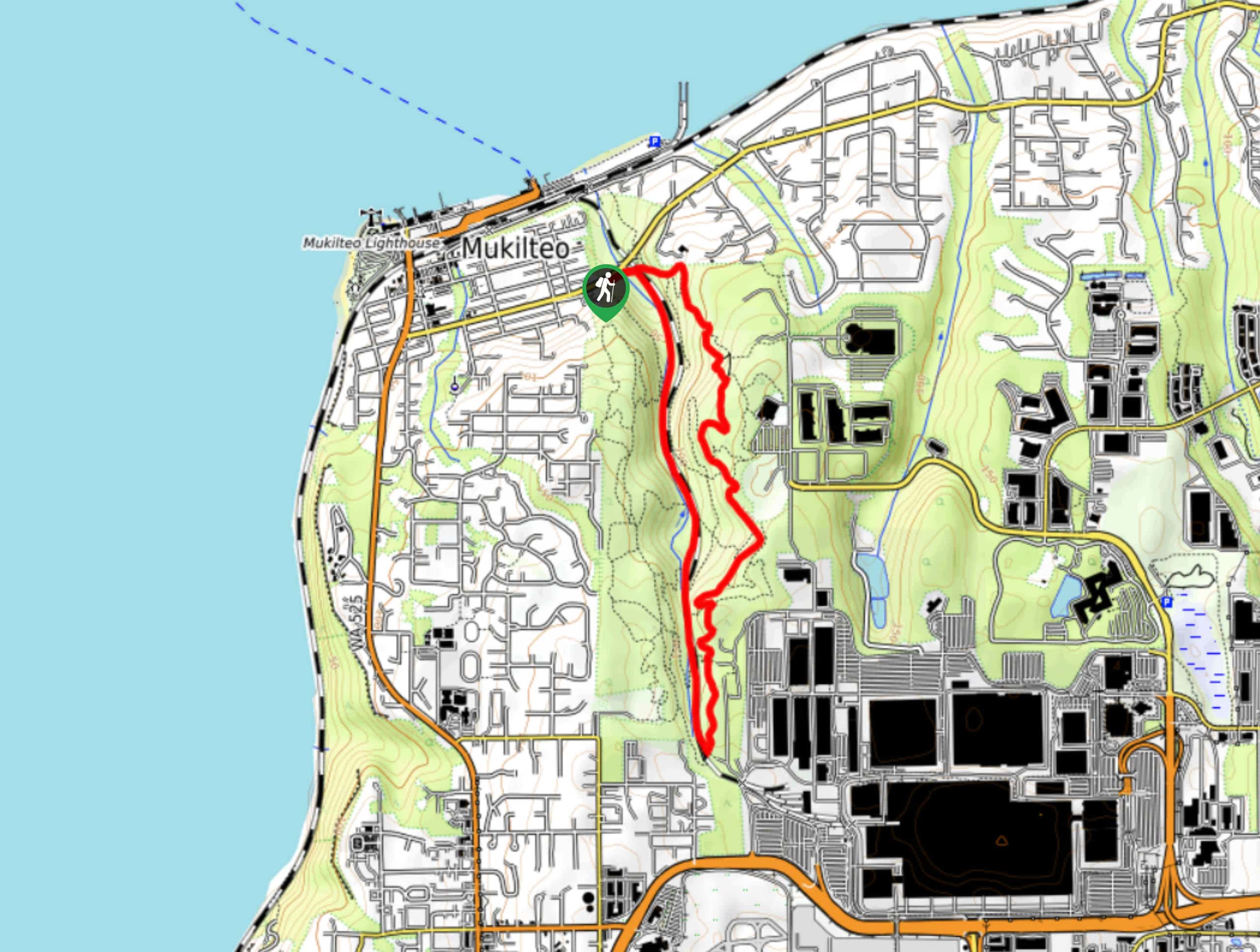
Japanese Gulch Loop
View Photos
Japanese Gulch Loop
Difficulty Rating:
Japanese Gulch Loop is a unique hike. This loop is 4.1mi long and moderately difficult. It’s not recommended for small kids because of a section of trail that runs alongside a sheer cliff near the train tracks. It heads out along the tracks and then returns through the forest. This is a popular trail with bikers, so keep your ears open.
Getting there
The trailhead for the Japanese Gulch Loop is off 5th Street where there is a parking area.

About
| Backcountry Campground | No |
| When to do | Year-round |
| Pets allowed | Yes - On Leash |
| Family friendly | Older Children only |
| Route Signage | Average |
| Crowd Levels | High |
| Route Type | Loop |
Japanese Gulch Loop
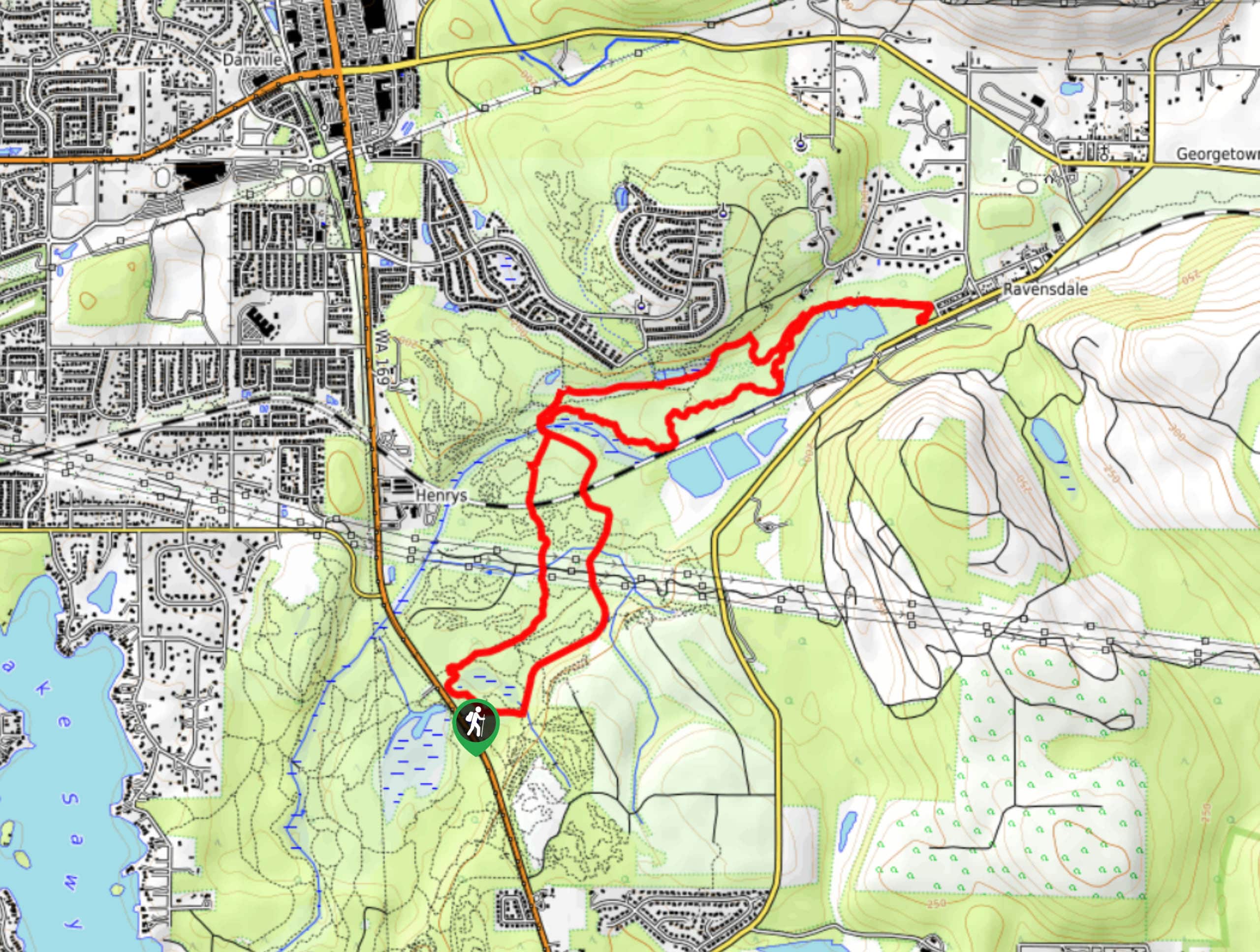
Elevation Graph
Weather
Japanese Gulch Loop Trail Description
The Japaense Gulch Loop is a unique trail that follows a train line before returning back through a green forest. It’s not he best pick for small children due to the narrow nature of the train section of the path, but you could just use the forested side if you wanted.
Begin from the parking area, heading down along the trail that runs near the train line. This is a bit of a narrow spot. The loop follows this, running alongside a forest, for the first half. On the trip back, you’ll hike through the forest, which is dense and very pretty. Enjoy this section as you return to the trailhead. There are lots of connecting trails if you want to keep exploring further.
Similar hikes to the Japanese Gulch Loop hike

Explorer Falls Hike
The Explorer Falls hike is a 5.3mi moderate hike near Sultan, Washington. This trail takes you to a…

Sky Country to Harvey Manning Loop
The Sky Country to Harvey Manning Loop is a 4.2mi loop trail in the northern part of Cougar…
Black Diamond Coal Mine Trail
The Black Diamond Coal Mine Trail is a 6.7mi moderate trail that is mostly used by mountain bikers.…
Comments