Cherry Creek Falls Trail
View Photos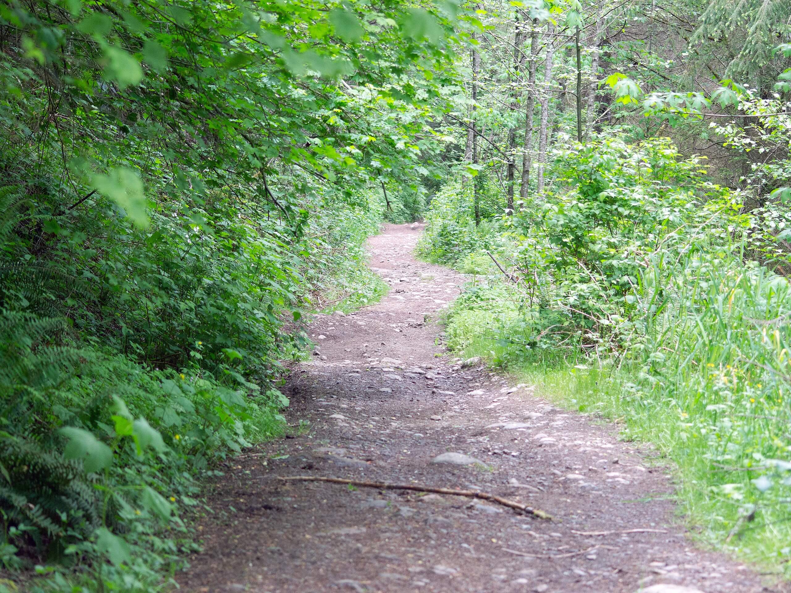
Cherry Creek Falls Trail
Difficulty Rating:
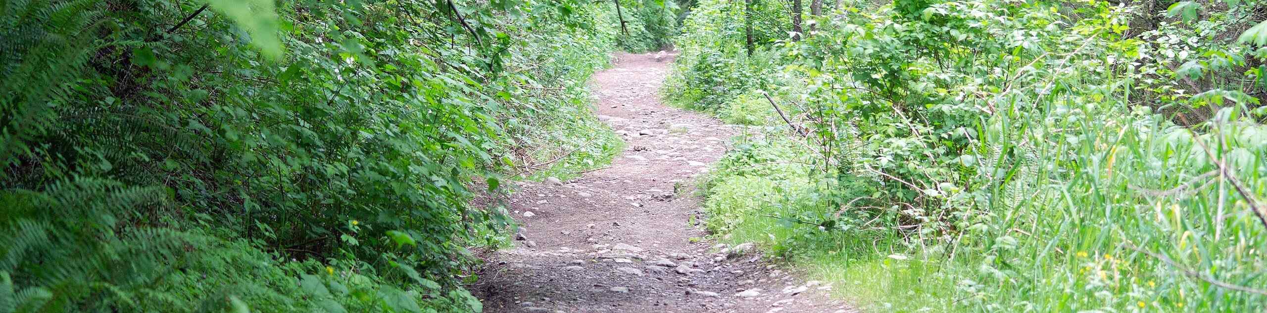
Cherry Creek Falls Trail is a 5.0mi easy hike in the Marckworth Forest. This trail is suitable for all skill levels and dogs are allowed on leash. The trail winds through the forest to two waterfalls tucked into the mossy trees. This trail is also used by birdwatchers and runners.
Note that the beginning of this hike passes through private property. It’s very important to stay on the trail, keep dogs leashed, and pack out your trash to ensure access remains granted for hikers after you. It’s also very important to park off the county road and off private property or you may be towed.
Getting there
The trailhead for the Cherry Creek Falls Trail is near the intersection of Mountain View Road NE and NE Cherry Valley Road.

About
| Backcountry Campground | No |
| When to do | May-November |
| Pets allowed | Yes - On Leash |
| Family friendly | Yes |
| Route Signage | Poor |
| Crowd Levels | High |
| Route Type | Out and back |
Cherry Creek Falls Trail
Elevation Graph
Weather
Cherry Creek Falls Trail Description
Cherry Creek Falls is a pretty set of falls nestled into the Marckworth Forest. The hike is easy enough for families and all skill levels. That being said, there are lots of intersecting trails and the junctions are poorly signed, so downloading a GPS track is recommended.
Make sure you park away from Mountain View Road. If you do park on the road, you could be towed to maintain emergency vehicle access.
The first half mile or so of this hike is on private property with access graciously given to hikers headed to the falls. Please remember to stay on the path, keep dogs leashed, and keep your trash with you to ensure access to the trail remains in place for hikers in the future.
Most of the hike is along an old logging road, which provides a wide, mostly even walking surface.
From the parking lot, look for a concrete block on the corner of Cherry Valley Road and Mountain View Road. Start here, heading through the gate and hiking to the forest road.
At three-quarters of a mile, cross Margaret Creek on a bridge. At the next junction, stay left, and then stay right at the next one.
Climb a short hill. Stay right at the next junction and then begin to descend. You’ll make a sharp turn to the right at the mile and a half mark. You’ll now be hiking on a sometimes muddy trail in the trees.
Stay left, rejoin the road, and continue for a mile. You’ll cross a few small creeks before coming up to Hannan Creek, a larger washout. Find your way across the water here. This crossing can sometimes be deep, so wading shoes are recommended. Look for walking sticks left by other hikers if you need an extra hand.
Stay right towards the falls after the creek (this junction might be hard to see because of a large dirt pile). You’ll pass a firepit just before reaching the falls. There’s a trail that takes you to the base of the falls if you’d like a closer look. You’re welcome to take a splash in the pool, but of course, be careful when swimming near waterfalls.
When you’re ready, retrace your steps back to the trailhead.
Trail Highlights
Cherry Creek Falls
Cherry Creek Falls are two 25ft waterfalls in the Marckworth Forest. The falls empty into a wide pool suitable for swimming. The hike is a favorite on hot summer days but is enjoyable in shoulder season as well. Part of the trail passes through private property, but agreements between private landowners and local officials have provided access for the general public.
Frequently Asked Questions
Do I need a permit to go to Cherry Creek Falls?
There is no pass or permit required for this hike.
Is Cherry Creek Falls a hard hike?
No, it’s considered to be easy by most users.
Can you swim at Cherry Creek Falls?
Yes. The pool might still be chilly in the summertime, so bring a warm towel for afterwards. Use caution when swimming and don’t get too close to the falls.
Insider Hints
Try to visit before autumn, which is when the left side of the falls tends to dry out
Visit during the week or early in the morning to enjoy a quieter hike.
Similar hikes to the Cherry Creek Falls Trail hike

Explorer Falls Hike
The Explorer Falls hike is a 5.3mi moderate hike near Sultan, Washington. This trail takes you to a…

Sky Country to Harvey Manning Loop
The Sky Country to Harvey Manning Loop is a 4.2mi loop trail in the northern part of Cougar…

Iverson Spit Preserve Loop
The Iverson Spit Preserve Loop is a 1.2mi loop hike right on the beach, coursing through a beaver…
Comments