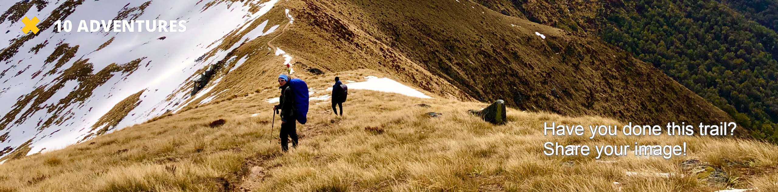
Cranberry Lake Hike
View Photos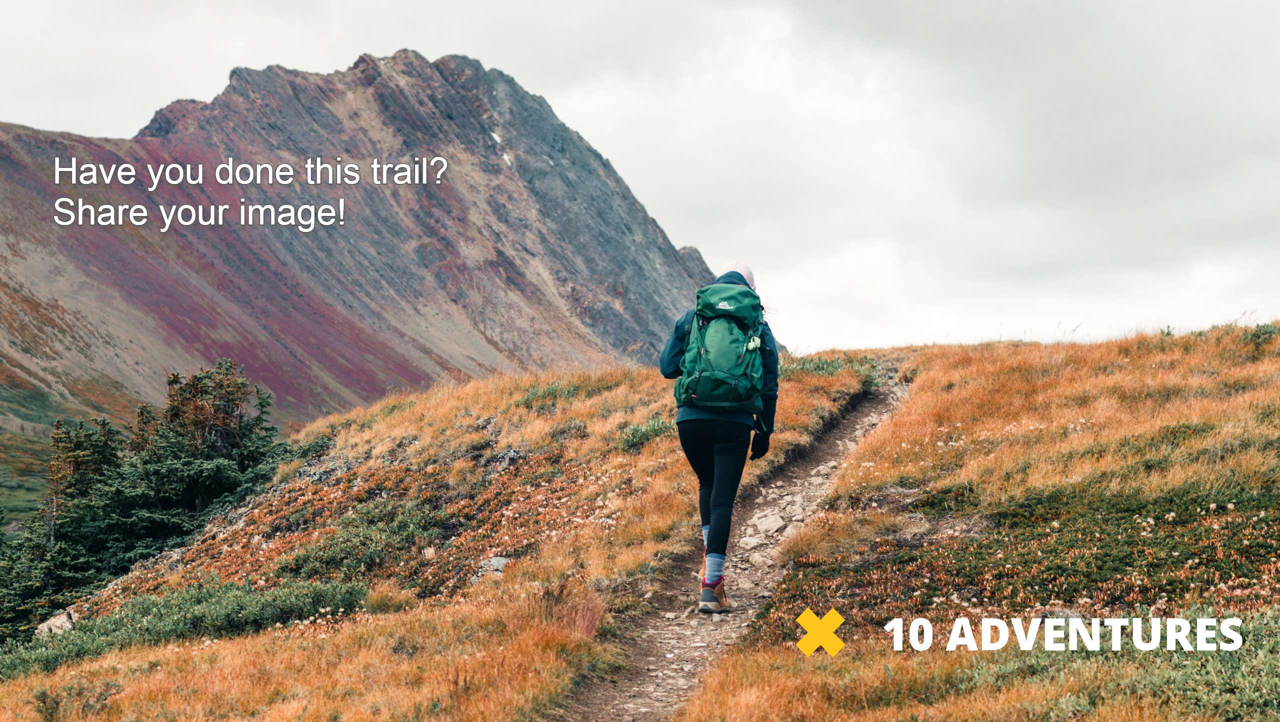
Cranberry Lake Hike
Difficulty Rating:
The Cranberry Lake hike is a 2.1mi easy trail that sees light traffic. This hike is in Cama Beach State Park and begins near the shoreline, moving east towards the small Cranberry Lake. With only 56m of elevation gain to complete, it’s a hike suitable for all skill levels. In the springtime, the trail is lined with beautiful wildflowers. This route is also a favorite for local birdwatchers.
Dogs are able to enjoy this trail but must be kept on a leash.
Getting there
The trailhead for the Cranberry Lake hike is on the loop road just east of the Cama Beach Cafe.

About
| Backcountry Campground | No |
| When to do | June-November |
| Pets allowed | Yes - On Leash |
| Family friendly | Yes |
| Route Signage | Average |
| Crowd Levels | Low |
| Route Type | Out and back |
Cranberry Lake Hike
Elevation Graph
Weather
Cranberry Lake Hike Description
Cranberry Lake is a small, marshy lake in Cama Beach State Park. It’s accessed from a trailhead near the shore of Skagit Bay in an area with a cafe, a beach store, restrooms, and an interesting wooden boat center. The walk makes for a nice addition to a day of adventure in Cama Beach State Park. The hike itself is short and simple, with minimal elevation gain and a wide, easy to follow trail making it a good choice for all skill levels.
The restrooms at Cama Beach are usually clean and in good condition if you need a pit stop before hiking.
Dogs are welcome on this trail but must be kept on a leash.
Begin from the Cama Beach area, heading east on a dirt road that crosses SW Camano Drive. There is a junction just after the crossing with Ivy Lane Trail and a short spur trail. Stay right through both.
The Cranberry Lake Trail is less than 1.2mi to the lake, so it’s a brief, simple trip with very gentle elevation gain. It’s well-maintained and wide with low traffic on most days. Look for birds as you go. Make sure to read the index cards that give info along the trail about the surrounding nature.
The trail narrows a good bit at the lake, so take care if you have small children. Some parts may be a bit slick. At the lake, watch for frogs hopping from lilypad to lilypad. Note that there isn’t a great place to sit and relax here, so if you brought lunch, you’ll likely want to enjoy it back at the beach rather than at the lakeshore.
Other users have spotted kingfishers, great blue herons, and cedar waxwings, and woodpeckers among other birds on the trail and near the lake. See what you can spot.
When you’re ready, hike back to the beach park the same way you came. Spend some time at the beach, stop into the cafe, or continue on your way.
Trail Highlights
Cama Beach State Park
Cama Beach State Park is set on Camano Island, about an hour from Seattle. This resort was a popular family getaway from the 1930s to the 1950s. While some of the park has changed, much of the original stands, including cabins, a campfire circle, and the park store. Visitors to the park can hike, boat, fish, swim, and enjoy boat-building classes at the Center for Wooden Boats, among other activities.
Frequently Asked Questions
What is the fee to enter Cama State Park?
You’ll need a Discover Pass for entry to the park. The park has pay stations if you need to purchase a pass day-of.
Can I bring my dog to Cranberry Lake?
Yes! Just make sure you keep your dog leashed at all times.
Can I stay at Cranberry Lake?
While there’s no camping by the lake, you can book a cabin at Cama Beach to extend your fun.
Insider Hints
The pond is best viewed in the springtime when the water levels are higher.
Stop into the Cama Beach Cafe after your walk for a refreshment.
Similar hikes to the Cranberry Lake Hike hike

Sky Country to Harvey Manning Loop
The Sky Country to Harvey Manning Loop is a 4.2mi loop trail in the northern part of Cougar…

Iverson Spit Preserve Loop
The Iverson Spit Preserve Loop is a 1.2mi loop hike right on the beach, coursing through a beaver…

Lowell Riverfront Trail
The Lowell Riverfront Trail is a 3.0mi route alongside the Snohomish River in Everett. This trail is heavily…
Comments