Burke-Gilman Trail
View Photos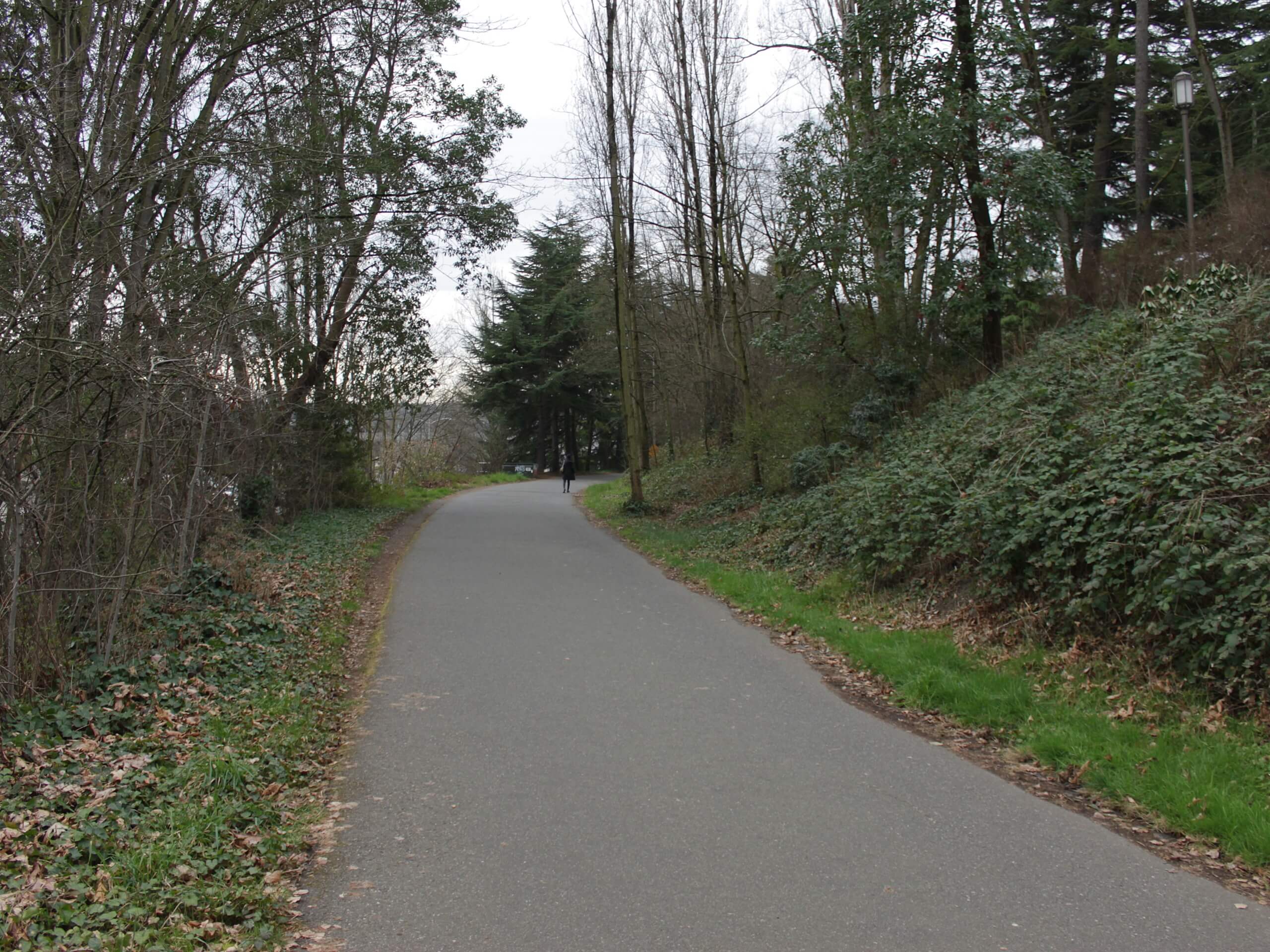
Burke-Gilman Trail
Difficulty Rating:
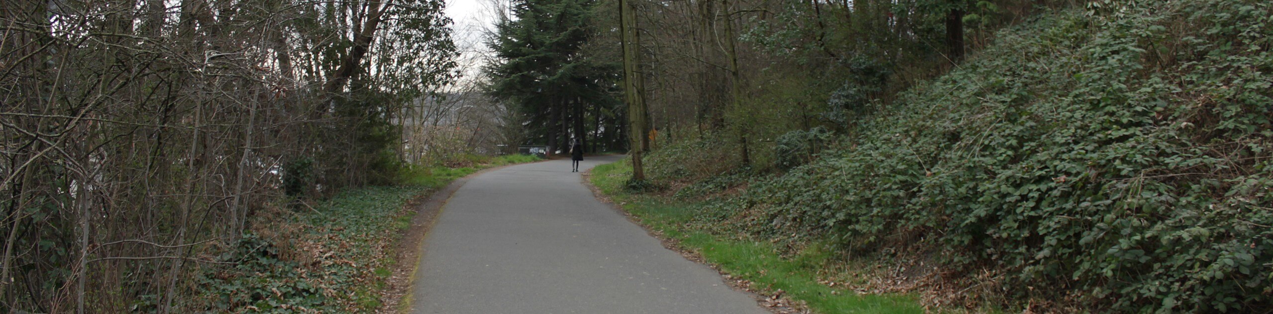
Burke-Gilman Trail is a well-known multi-use pathway in Seattle popular with walkers, runners, and bikers. Most adventurers make use of a shorter section of this trail, so don’t let the distance intimidate you. The whole 20.0mi are paved and the vast majority of the trail, save for one short section, is away from car traffic. While this obviously isn’t a hiking route in the traditional sense, it’s a wonderful way to get some exercise and enjoy the outdoors in Seattle.
There are lots of parks accessible from the path, which gives you the opportunity to break up your walk and enjoy other activities on the way.
Getting there
There are many access points to this trail. The far west end is in Golden Gardens Park in Ballard and the far east end is in Blyth Park.

About
| Backcountry Campground | No |
| When to do | Year-round |
| Pets allowed | Yes - On Leash |
| Family friendly | Yes |
| Route Signage | Average |
| Crowd Levels | High |
| Route Type | One Way |
Burke-Gilman Trail
Elevation Graph
Weather
Burke-Gilman Trail Description
The Burke-Gilman Trail is a well-used and well-loved walking, running, and biking trail in Seattle. This pathway is urban in nature, but it still provides great access to greenspaces and the chance to stretch your legs and get some fresh air.
There are access points all along the trail, making choosing and using a section of the entire path easy to do. As this is a multi-use path, watch for bikers and runners. The trail tends to be kept nice and clean despite the amount of traffic it receives. Keep this up by holding onto your trash until you find a bin.
The path is mostly flat with a very gentle slope in some places. The entirety is paved, making it suitable for strollers and wheelchairs. The path also avoids road traffic the majority of the way, making it a favorite for families.
You can use this pathway to enjoy many parks, including Log Boom, Magnuson, and Gas Works. It can also be connected with the Elliot Bay Trail and the Cheshiahud Loop.
We will describe the path running from west to east, but know that you can pick it up wherever is most convenient for you and only go as far as you like.
The far western trailhead is in Ballard’s Golden Gardens Park. It heads east along the shipping canal, then hugs the western side of Lake Washington. The trail passes through Lake Forest Park before turning to the east around the lake. This is a lovely stretch, with the wide lakeshore right next to you for a long distance.
The path then runs through Kenmore before it terminates in Blyth Park in Bothell.
While the official trail ends in Blyth Park, an unofficial extension continues. This section is called the Sammamish River Trail.
Note: If you are biking, we recommend avoiding passing under the Ballard Bridge on the bike path. There have been multiple accidents and falls here as the bike path goes through the train tracks. It’s very easy to detour around this section or to dismount and walk.
Trail Highlights
Lake Washington
Lake Washington is the largest lake in King County and the second-largest natural lake in Washington State. Lake Washington got its present name in 1854 after George Washington. The original name was Xacuabš, a Duwamish word meaning “great amount of water.” The lake stretches almost 34 square miles across the eastern side of Seattle and offers chances to swim, boat, fish, and more.
Warren G. Magnuson Park
Warren G. Magnuson Park (commonly shortened to Magnuson Park) is a 350-acre recreational park in the Sand Point neighbourhood of Seattle that was established in 1977. It’s actually the second-largest park in the city behind Discovery Park. Built over the site of a former naval station, it offers sports fields, picnic areas, a swimming beach, a community garden, public art, an amphitheater, and more. Children will love the park’s playground, which is Seattle’s largest.
Frequently Asked Questions
Where does the Burke-Gilman Trail start and end?
The trail starts in Ballard and ends in Bothell, but you can use any section in between.
Is the Burke-Gilman Trail flat?
Yes, the trail is mostly flat.
When was the Burke-Gilman Trail built?
The first 12.1mi of the trail were dedicated in August 1978.
Insider Hints
Take the Sammamish River Trail extension for a quieter walk.
Visit the trail in different seasons to enjoy the changing weather and landscape.
Similar hikes to the Burke-Gilman Trail hike

Sky Country to Harvey Manning Loop
The Sky Country to Harvey Manning Loop is a 4.2mi loop trail in the northern part of Cougar…

Iverson Spit Preserve Loop
The Iverson Spit Preserve Loop is a 1.2mi loop hike right on the beach, coursing through a beaver…

Lowell Riverfront Trail
The Lowell Riverfront Trail is a 3.0mi route alongside the Snohomish River in Everett. This trail is heavily…
Comments