
Corral Creek Trail
View Photos
Corral Creek Trail
Difficulty Rating:
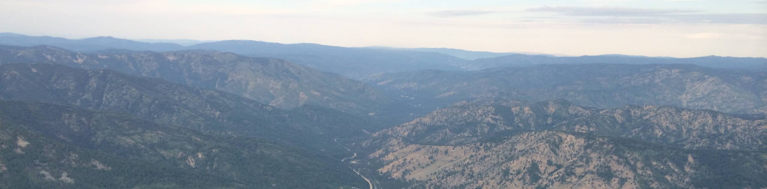
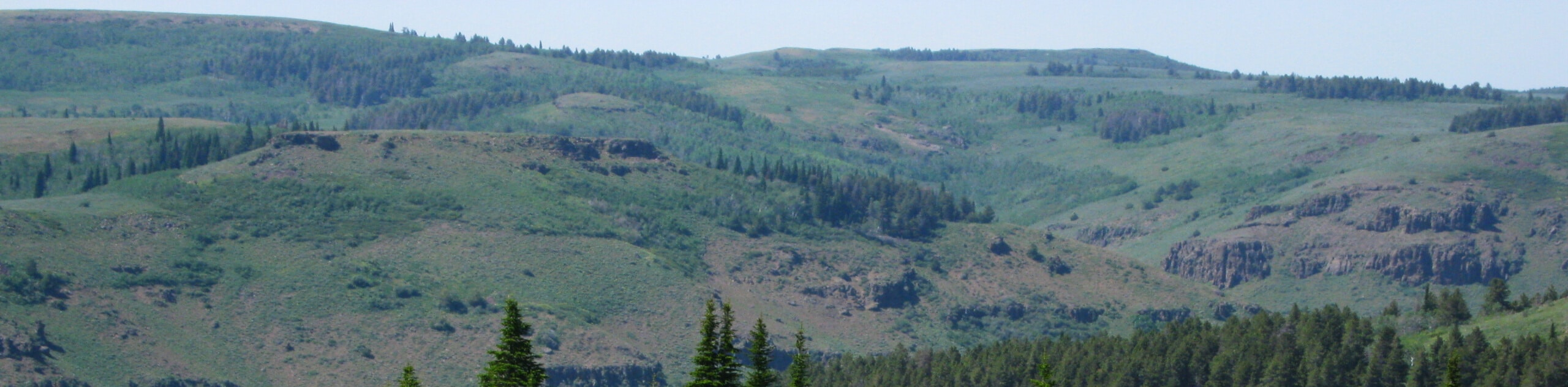
The Corral Creek Trail is a lovely route in the Sawtooth National Forest near Sun Valley that can be enjoyed by hikers and bikers alike. Explore lush pine woodlands interspersed with aspen groves and meadows occupied with sagebrush and wildflowers while enjoying views of the surrounding Smoky Mountains.
Getting there
The Corral Creek Hike is accessed from the trailhead off National Forest Development Road 51.

About
| Backcountry Campground | No |
| When to do | Year-round |
| Pets allowed | Yes - On Leash |
| Family friendly | Yes |
| Route Signage | Average |
| Crowd Levels | Moderate |
| Route Type | Out and back |
Corral Creek Trail
Elevation Graph
Weather
Corral Creek Hike Description
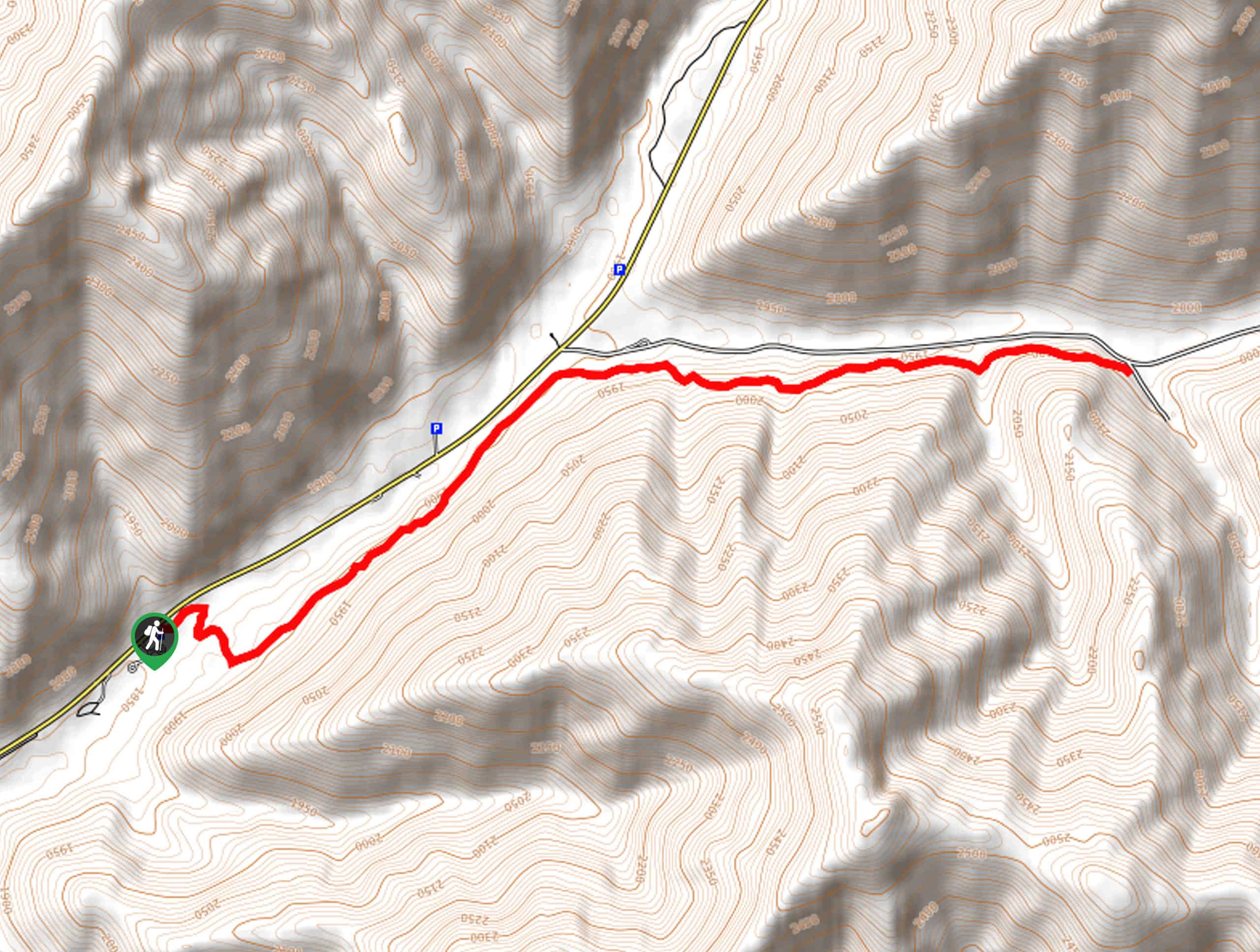
The Corral Creek Trail is a family-friendly adventure conveniently located near Sun Valley. This lovely adventure can be enjoyed year-round, just with a pair of snowshoes in the winter months! Shared with bikers, it is important to be mindful of ruts, roots, and rocks obstructing the path when exploring. While trekking in the spring, the terrain will likely be unstable with mud, so footwear with good traction is needed! However, if you are seeking a scenic, easy-going adventure, then you have come to the right place.
Embark on your pleasant stroll along the Corral Creek Trail from the parking lot and trailhead off National Forest Development Road 51. Setting out from here, the route travels eastwardly up a small ridge with the help of switchbacks. Soon after your departure, the path will reroute you northeast, through the open meadow that offers wonderful mountain views, then beneath the tree canopy. Enjoy the shade and the break from the sun, then the route will escape into another meadow.
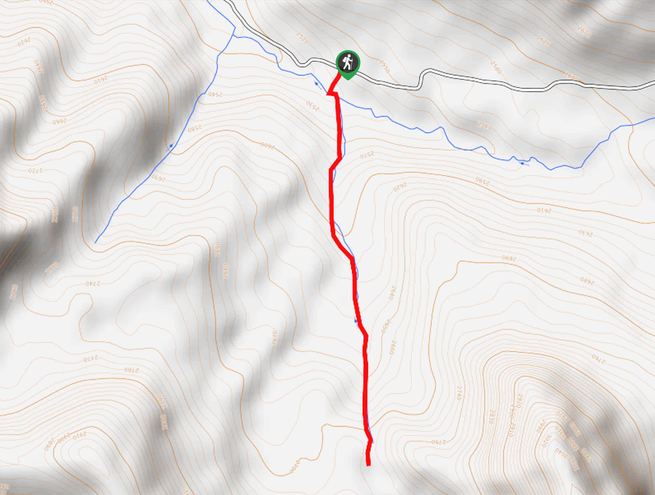
At this point, the route will curve eastwardly, intersecting with seasonal creeks before ultimately reaching the trail’s end. To get back to the trailhead, simply turn around and retrace your steps back to the trailhead.
Similar hikes to the Corral Creek Trail hike
Heart Lake Trail
The Heart Lake Hike explores an area of tree burn that is abundant with lush regrowth in the Sawtooth National…
Warm Springs Loop Hike
Remarkable mountain views await you on the Warm Springs Loop Hike in the Sawtooth National Forest. What is a popular…
Third Fork Rock Creek Trail
The Third Fork Rock Creek Trail would make a wonderful addition to your hiking itinerary. Located in the south of…
Comments