
Warm Springs Loop Hike
View Photos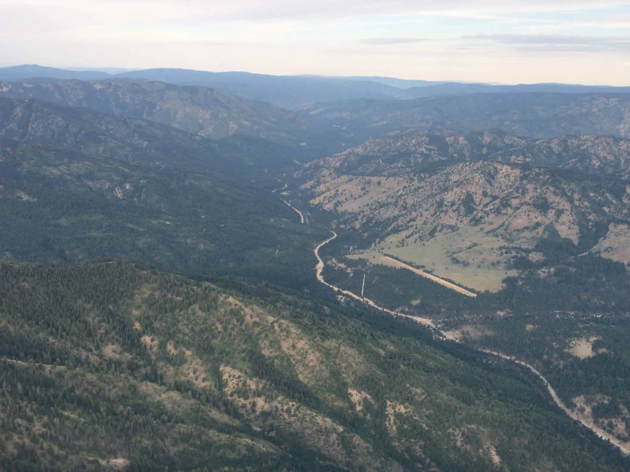
Warm Springs Loop Hike
Difficulty Rating:
Remarkable mountain views await you on the Warm Springs Loop Hike in the Sawtooth National Forest. What is a popular mountain biking route has become popular amongst the hiking community, and we cannot wait for you to explore this scenic route!
Getting there
The Warm Springs Loop Hike is accessed from Puchner Lane.

About
| Backcountry Campground | No |
| When to do | April-October |
| Pets allowed | Yes - On Leash |
| Family friendly | Older Children only |
| Route Signage | Average |
| Crowd Levels | Moderate |
| Route Type | Lollipop |
Warm Springs Loop Hike
Elevation Graph
Weather
Warm Springs Loop Hike Description
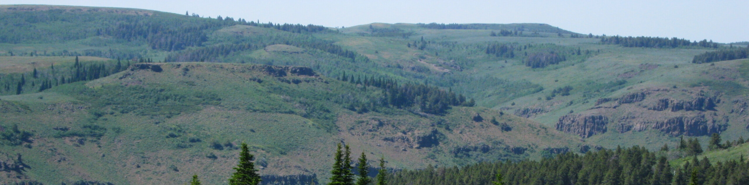
The Warm Springs Loop Hike in Sawtooth National Forest boasts a relentless climb up the slopes of Bald Mountain, but the wonderful scenery is well worth the sweat. Explore several runs that are populated with skiers and snowboarders in the winter months but are barren and decorated with wildlife in the summer months. Note that much of this route is exposed, so it is wise to wear sun protection and bring along plenty of water. As shared with mountain bikers, it is important to be mindful of passers-by as you climb. Lastly, while the area is well maintained, the abundance of intersecting routes can make navigation complicated, so we encourage the use of trail GPS. Note this area is subject to wildlife closure to protect calving elk in the summer months.
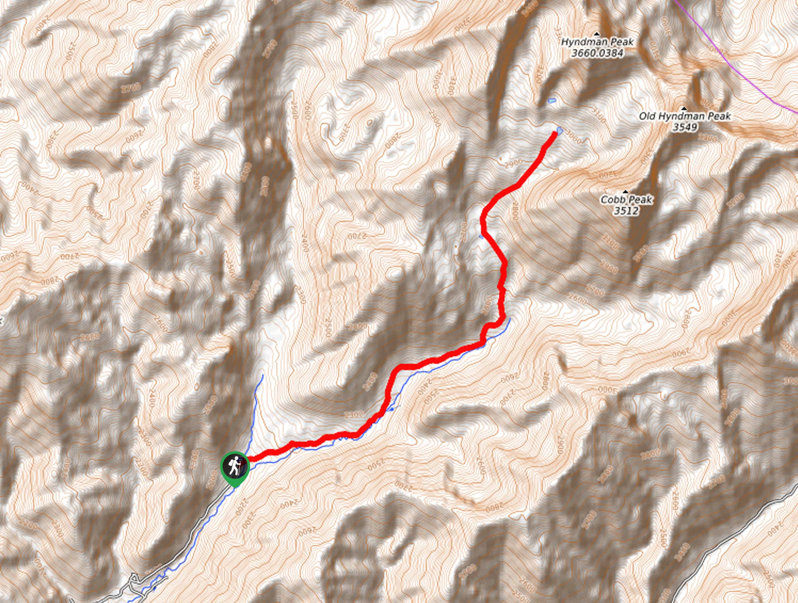
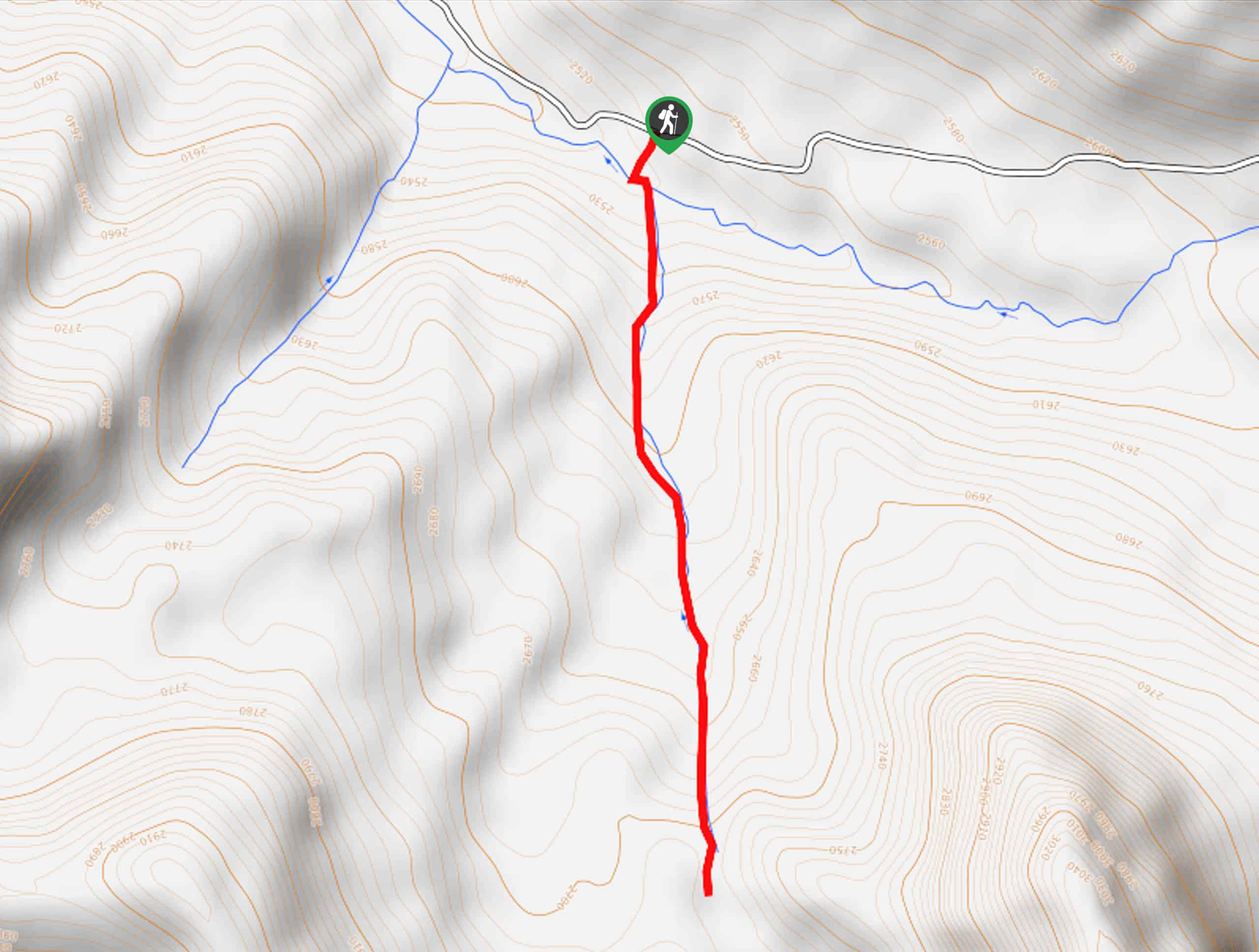
Embark on your adventure along the Warm Spring Loop Trail from the trailhead off Puchner Lane. Setting out from here, you can choose to hike in either direction, but we trekked counterclockwise, using the countless switchbacks to our advantage. Keeping left, the Warm Springs Trail will guide you into the wilderness and through the winding terrain that zigzags beneath the trailhead. After navigating the tireless climb up the switchbacks, you will confront an intersection with Maiden Lane.
Turn left onto Maiden Lane before quickly diverging off the marked route. Using the trail GPS, you will begin your descent down a service road that is more precipitous, so take your time and mind your knees. Eventually, you will reconnect with the Warm Springs Trail at the base of the mountain, turn right and retrace your steps back to your vehicle.
Similar hikes to the Warm Springs Loop Hike hike
Hyndman Creek Trail
The Hyndman Creek Trail is an enchanting adventure up the slopes of the highest peak in the Hyndman Mountains. Explore…
Heart Lake Trail
The Heart Lake Hike explores an area of tree burn that is abundant with lush regrowth in the Sawtooth National…
Third Fork Rock Creek Trail
The Third Fork Rock Creek Trail would make a wonderful addition to your hiking itinerary. Located in the south of…
Comments