Third Fork Rock Creek Trail
View Photos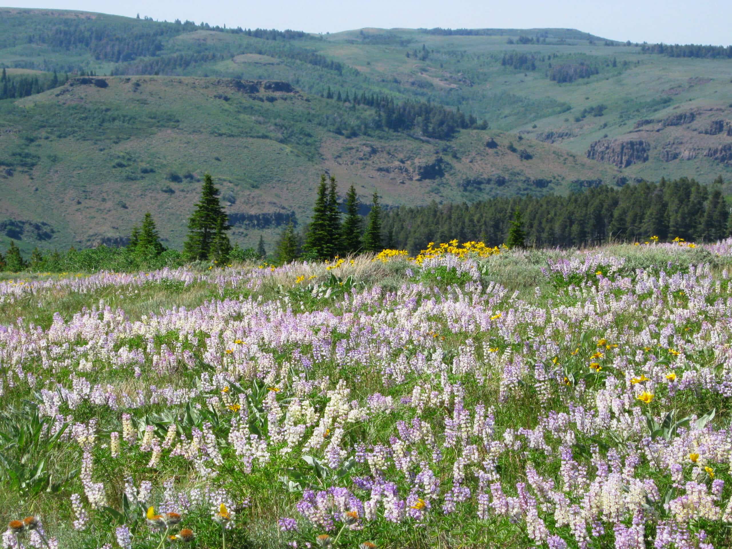
Third Fork Rock Creek Trail
Difficulty Rating:
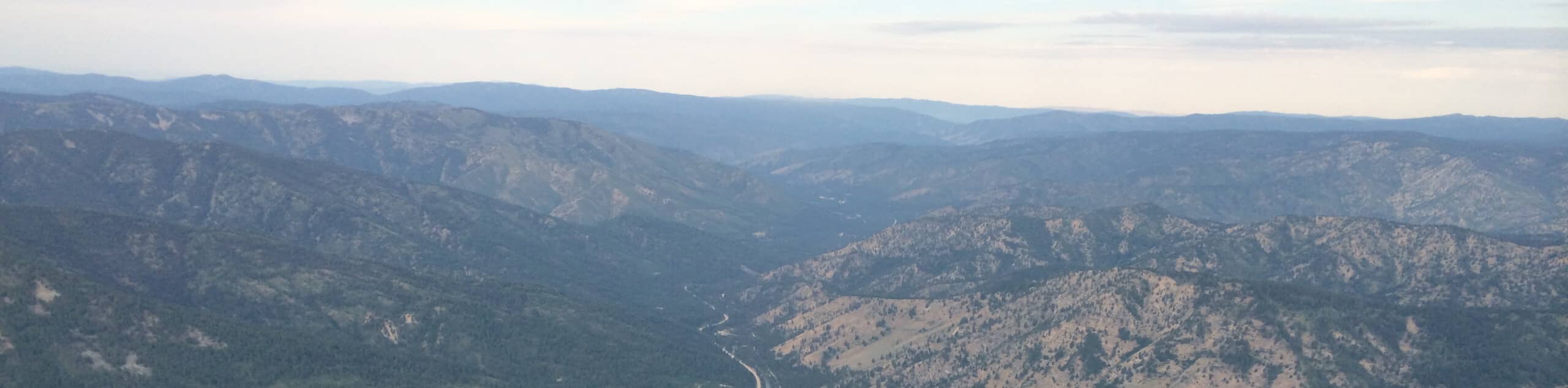
The Third Fork Rock Creek Trail would make a wonderful addition to your hiking itinerary. Located in the south of the Sawtooth National Forest, this pleasant trail explores a more remote area, boasting incredible scenery and seclusion.
Getting there
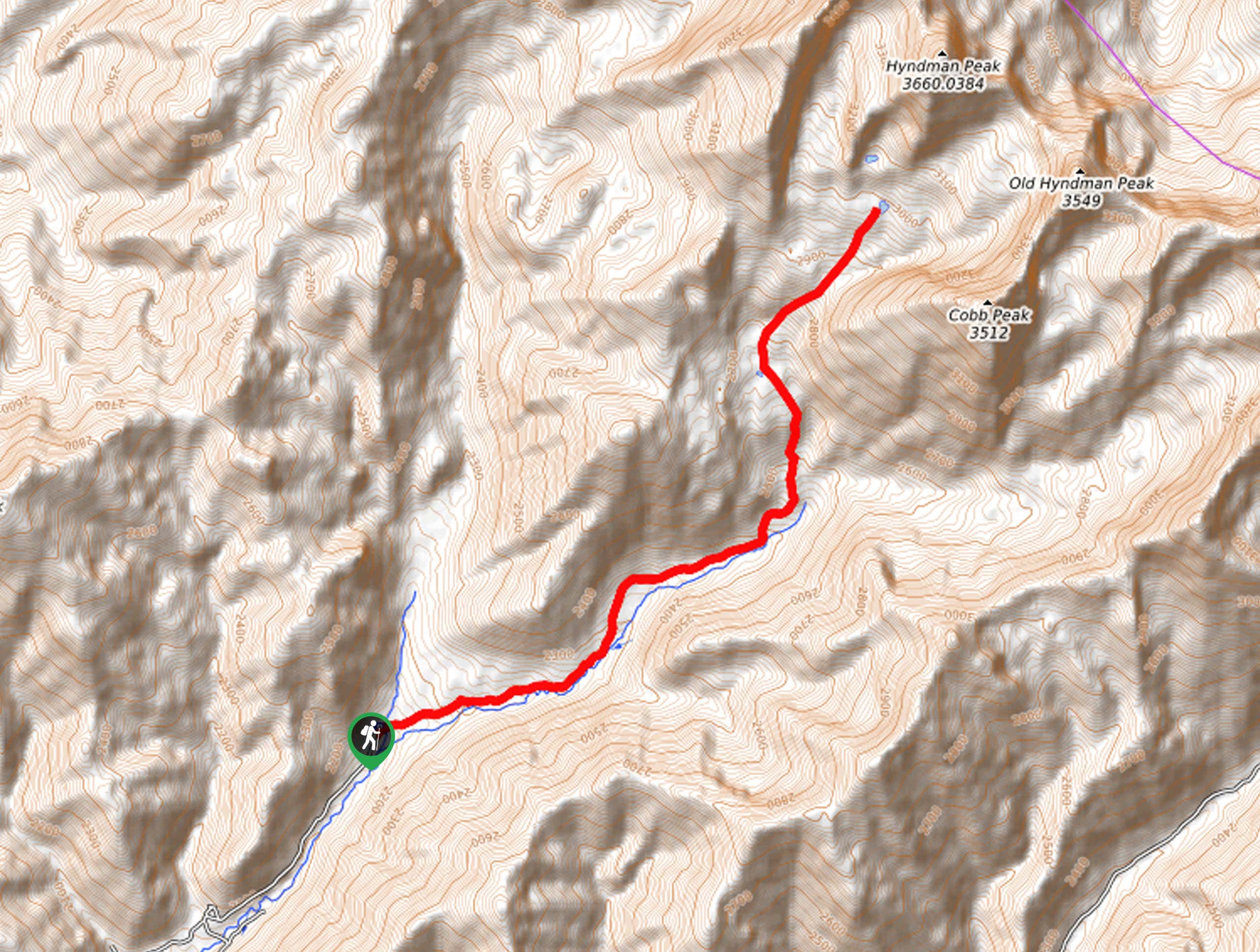
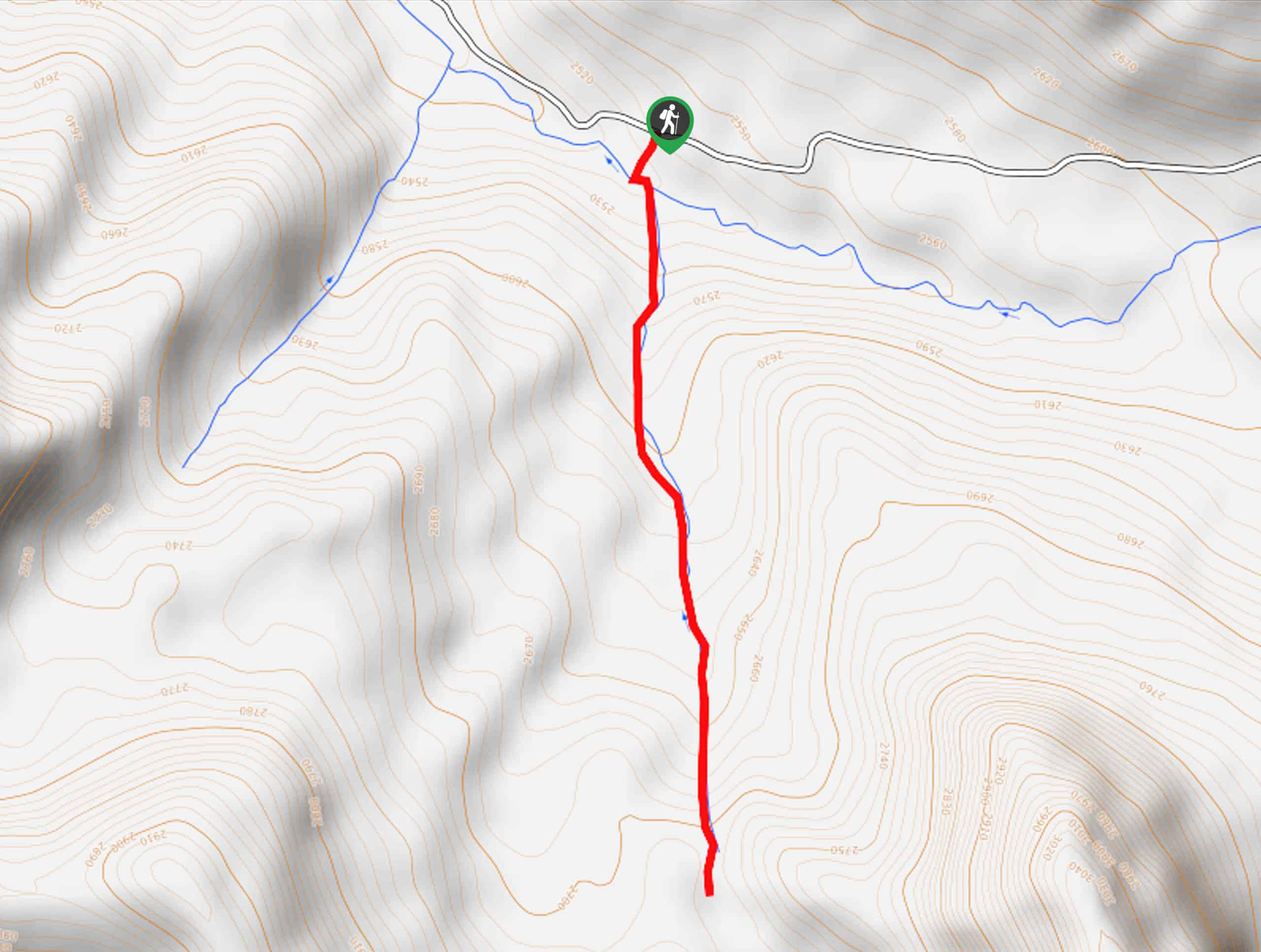
The Third Fork Rock Creek Trail is accessed via the trailhead off Forest Road 515.

About
| Backcountry Campground | |
| When to do | April-October |
| Pets allowed | Yes - On Leash |
| Family friendly | Older Children only |
| Route Signage | Average |
| Crowd Levels | Low |
| Route Type | Circuit |
Third Fork Rock Creek Trail
Elevation Graph
Weather
Third Fork Rock Creek Hike Description
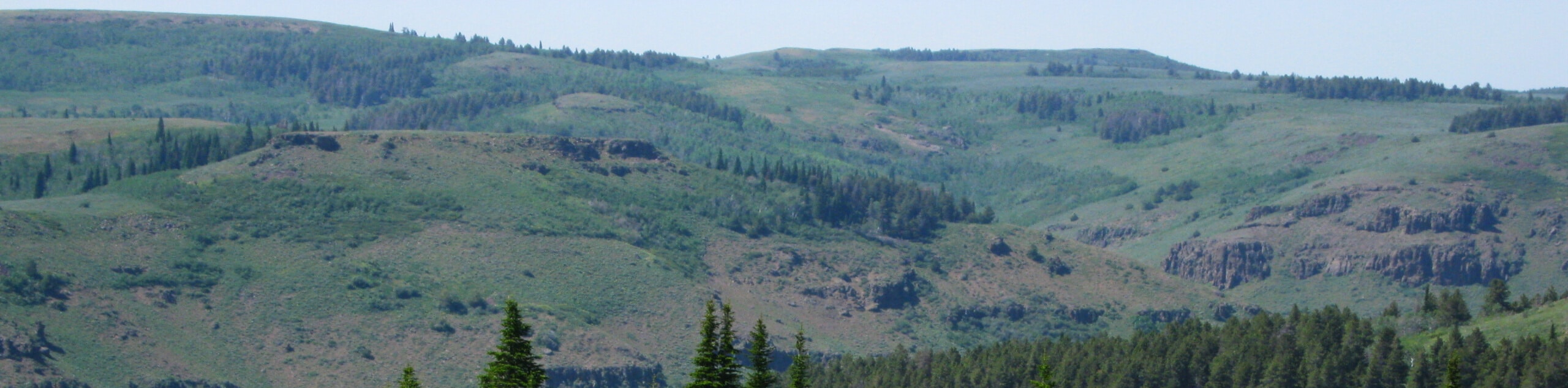
Immerse yourself in the unspoiled wilderness and indulge in Idaho’s topographic diversity along the Third Fork Rock Creek Trail. This moderate day-hike explores a variety of terrains, exhibiting the area’s diversity of flora and fauna and unveiling great views of the craggy spires that hut from the landscape. Due to this route’s remoteness, hikers should come prepared to do some bushwhacking! For this reason, is wise to wear long pants to avoid scratches and discomfort. Additionally, it is important to note that much of the path is exposed, so pack plenty of water and wear sun protection.
Setting out from the trailhead, the Third Rock Creek Hike travels southeastwardly, running parallel to Third Rock Creek. As you meander through the hills, the path will alternate between shaded tree stands and exposed grasslands, which the majority of the terrain being arid and unshaded. Enjoy the retreat from the sun when you get it, as it is sparing! After some hiking, views of craggy bluffs will come into view—soon after, you will confront an intersection. Keep right, continuing along the Third Rock Creek Trail. At the subsequent junction, you will turn right onto the Third Fork/ Wahlstrom Hollow Loop.
This scenic route redirects northwardly, traveling along a single-track trail that contours the grassland-cloaked slopes. Admire the scene of surrounding rolling hills as you make your way back to the trailhead, marking the end of your adventure.
Similar hikes to the Third Fork Rock Creek Trail hike
Hyndman Creek Trail
The Hyndman Creek Trail is an enchanting adventure up the slopes of the highest peak in the Hyndman Mountains. Explore…
Heart Lake Trail
The Heart Lake Hike explores an area of tree burn that is abundant with lush regrowth in the Sawtooth National…
Warm Springs Loop Hike
Remarkable mountain views await you on the Warm Springs Loop Hike in the Sawtooth National Forest. What is a popular…
Comments